The best road cycling routes around Lac de Mauvoisin
4.2
(5)
466
riders
6
rides
Road cycling around Lac de Mauvoisin offers routes through dramatic alpine landscapes, characterized by significant elevation gains and challenging climbs. The region features a large glacial lake, impressive dam structures, and routes that traverse picturesque valleys and past small hamlets. Cyclists will encounter a mix of paved roads, often leading through unique tunnels and galleries, set against a backdrop of towering peaks and pristine natural features. This area provides a compelling destination for road cyclists seeking demanding routes within a…
Last updated: May 15, 2026
3.0
(1)
8
riders
13.9km
00:57
470m
470m
Moderate road ride. Good fitness required. Mostly well-paved surfaces and easy to ride.
4.7
(3)
157
riders
47.3km
03:23
1,740m
1,740m
Hard road ride. Very good fitness required. Mostly well-paved surfaces and easy to ride.

Sign up for free
25
riders
70.0km
05:09
2,160m
2,160m
Hard road ride. Very good fitness required. Some segments of this route may be unpaved and difficult to ride.
152
riders
81.1km
05:39
2,670m
2,670m
Hard road ride. Very good fitness required. Some segments of this route may be unpaved and difficult to ride.
7
riders
94.6km
05:42
2,420m
2,420m
This difficult 58.8-mile road cycling route offers challenging climbs, stunning Valais Alps views, and passes the impressive Mauvoisin Dam.
Our route recommendations are based on thousands of hikes, rides, and runs completed by other people on komoot.
Start today with a free account
Your next adventure awaits.
Login or Signup
Popular around Lac de Mauvoisin
Tips from the Community


Beautiful, smooth, never extremely steep and only a few cars even on weekends.
0
1

Central point of the Bagnes Valley, with several possibilities of passes to do by road bike or gravel but also plenty of mountain bike routes
0
0
The rewards are the magnificent view of the Val de Bagnes and the cheese crust at the refreshment bar at the Col du Lein
2
0
Central village of Val de Bagnes, shops and friendly restaurant with view of the majestic mountains of the valley
1
0

The climb from Orsières to Ferret is highly recommended. You need around 18km to overcome a good 800 metres in altitude. There are always flatter sections where you can relax. The further you drive into the valley, the smaller the road becomes and the more breathtaking the nature. A trip up to the Val Ferret is particularly worthwhile in autumn. That's when the larches shine wonderfully golden. Together with the snow-covered peaks and the blue sky, this creates an incredible natural spectacle. The road leads through La Fouly and Ferret to a car park below the Alpage Les Ars Dessous. From there, two hiking trails lead further up towards the peak, which marks the border with Italy.
0
0

The Col road goes from Martigny at 471 m with an average gradient of about 9%, over the Col des Planches then descends to Sembrancher at 717 m with an average gradient of 7%. The view over the Rhone Valley is superb.
1
0
Village at the foot of the winter sports resorts, connected to Verbier and Bruson by cable cars. It is an excellent starting point for exploring the surrounding landscapes.
1
0
Frequently Asked Questions
What is the typical difficulty level for road cycling routes around Lac de Mauvoisin?
Road cycling around Lac de Mauvoisin is primarily characterized by challenging routes. Most of the available routes are classified as difficult, with one moderate option. You can expect significant elevation gains, often exceeding 2,600 meters of ascent on some routes, and steep gradients, such as the 20-kilometer climb to the Mauvoisin Dam which features an average gradient of 5.6% and a maximum of 9.6%.
What kind of elevation gains can I expect on road cycling routes in the Lac de Mauvoisin area?
Road cycling routes in the Lac de Mauvoisin area are known for their substantial elevation gains. Many routes feature ascents well over 2,000 meters, with some reaching more than 2,600 meters. For instance, the climb from Le Châble up to the Mauvoisin Dam is a 20-kilometer ascent with an average gradient of 5.6% and a maximum of 9.6%.
When is the best time of year to go road cycling around Lac de Mauvoisin?
The best time for road cycling around Lac de Mauvoisin is generally during the summer months. This period offers pleasant weather, allowing you to enjoy the picturesque valleys, fast-flowing streams, and wildflowers. The high-alpine environment means that routes can be affected by snow and ice outside of peak summer.
What natural features and landmarks can I see while road cycling near Lac de Mauvoisin?
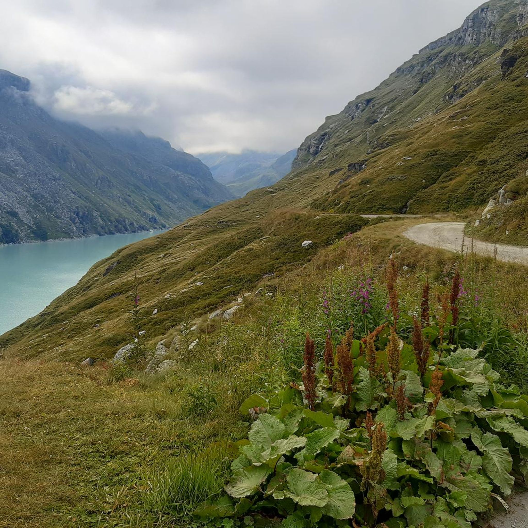
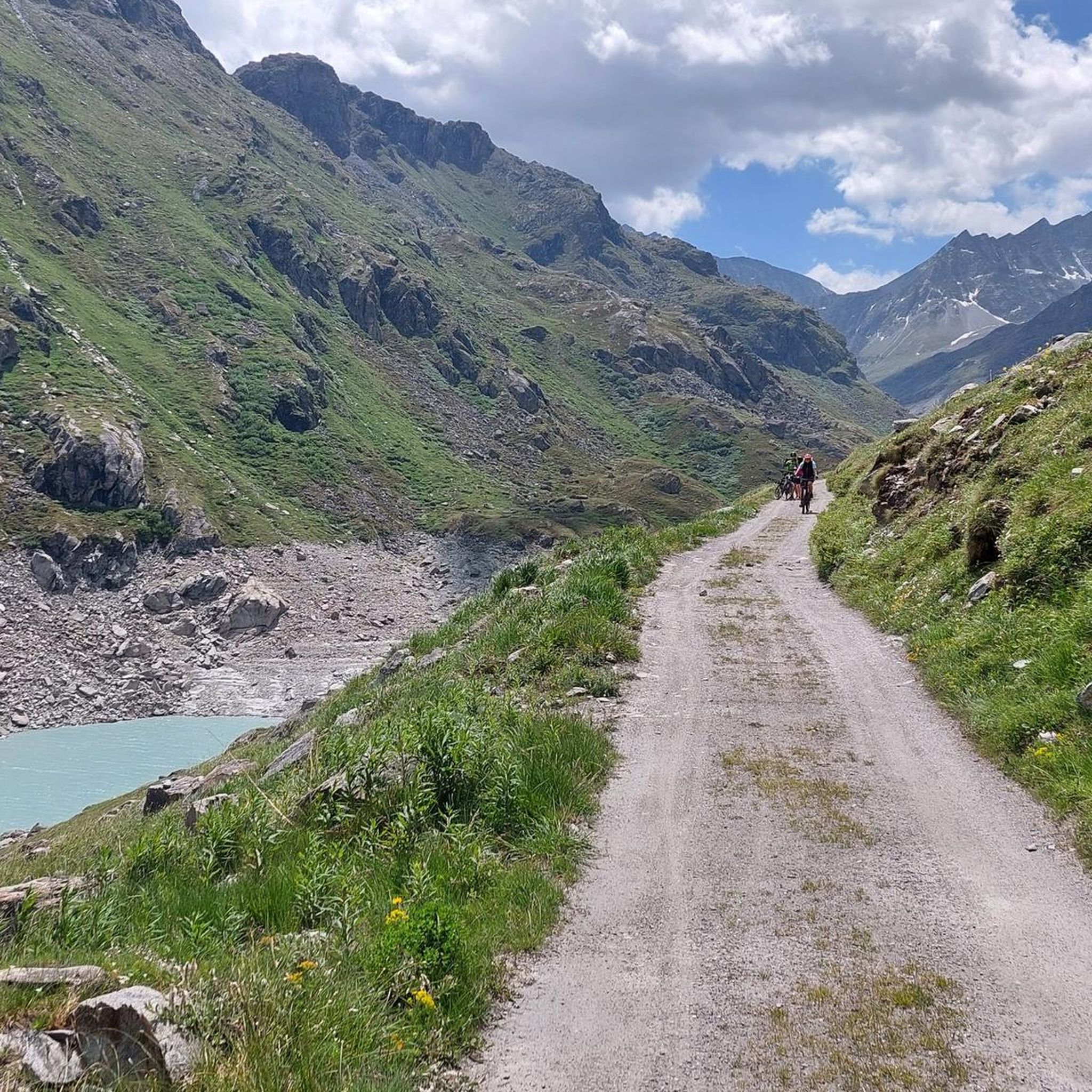
While road cycling near Lac de Mauvoisin, you'll encounter a wealth of natural features and impressive landmarks. The most prominent is the Mauvoisin Dam itself, a 250-meter-high arch dam offering panoramic views. You'll also ride alongside the stunning turquoise glacial Lac de Mauvoisin, surrounded by towering peaks like the Grand Combin massif and glaciers such as Giétro. The routes often pass through unique tunnels and galleries, providing glimpses of the dramatic scenery. The entire Upper Val de Bagnes is a protected landscape, rich in biodiversity.
Are there any particularly scenic viewpoints along the road cycling routes?
Yes, the region offers numerous scenic viewpoints. The crest of the Mauvoisin Dam provides breathtaking panoramic views of the lake, surrounding mountains, and cascading waterfalls. Additionally, many cycling routes pass through unique tunnels and galleries that feature occasional windows, offering dramatic glimpses of the alpine landscape and the glacial lake below.
Are there any family-friendly or easier road cycling routes around Lac de Mauvoisin?
The road cycling routes around Lac de Mauvoisin are predominantly challenging, with a strong focus on significant climbs and high-alpine terrain. While there is one route classified as moderate, the area is generally geared towards experienced road cyclists seeking demanding ascents rather than easy or family-friendly options.
What do other road cyclists enjoy the most about road cycling in Lac de Mauvoisin?
The road cycling experience around Lac de Mauvoisin is highly rated by the komoot community, with an average score of 4.2 stars from over 5 reviews. Cyclists frequently praise the dramatic alpine landscapes, the challenging climbs, and the unique experience of riding through tunnels and galleries. The impressive Mauvoisin Dam and the stunning glacial lake are often highlighted as key attractions.
Are there options for parking when road biking around Lac de Mauvoisin?
While specific parking locations for each route are not detailed, the Mauvoisin Dam area is a central point, and access by car is possible. Cyclists often start their ascents from towns like Le Châble or Sembrancher, where parking facilities would typically be available before beginning the climb towards the dam.
Can I reach the Mauvoisin Dam area by public transport for cycling?
Yes, it is possible to reach the general area by public transport. Towns like Le Châble, which serve as common starting points for the climb to the Mauvoisin Dam, are typically accessible by public transport, allowing cyclists to begin their routes from there.
Are there any cafes or restaurants near the road cycling routes around Lac de Mauvoisin?
While the high-alpine environment around the Mauvoisin Dam itself is quite remote, the villages and hamlets along the ascent, such as those found in the Val de Bagnes, would offer opportunities for cafes and restaurants. It's advisable to check local listings for specific establishments along your chosen route.
What kind of wildlife might I encounter while cycling in the Val de Bagnes region?
The Val de Bagnes, a protected landscape, is home to diverse wildlife. While cycling, you might spot ibex, chamois, and various bird species, including bearded vultures. The area also hosts red frogs and a variety of butterflies, adding to the natural appeal of your ride.
Are there any specific regulations or permits required for road cycling in the Lac de Mauvoisin area?
Generally, there are no specific permits required for road cycling on the paved public roads in the Lac de Mauvoisin area. However, as the Upper Val de Bagnes is a protected nature reserve, cyclists should always respect local regulations, stay on marked paths, and avoid disturbing wildlife or the natural environment.
Most popular attractions around Lac de Mauvoisin

Get inspired with the komoot mobile app


Explore more
Browse the best Road cycling routes in other regions.
