The best road cycling routes around Lac des Dix
4.4
(10)
270
riders
3
rides
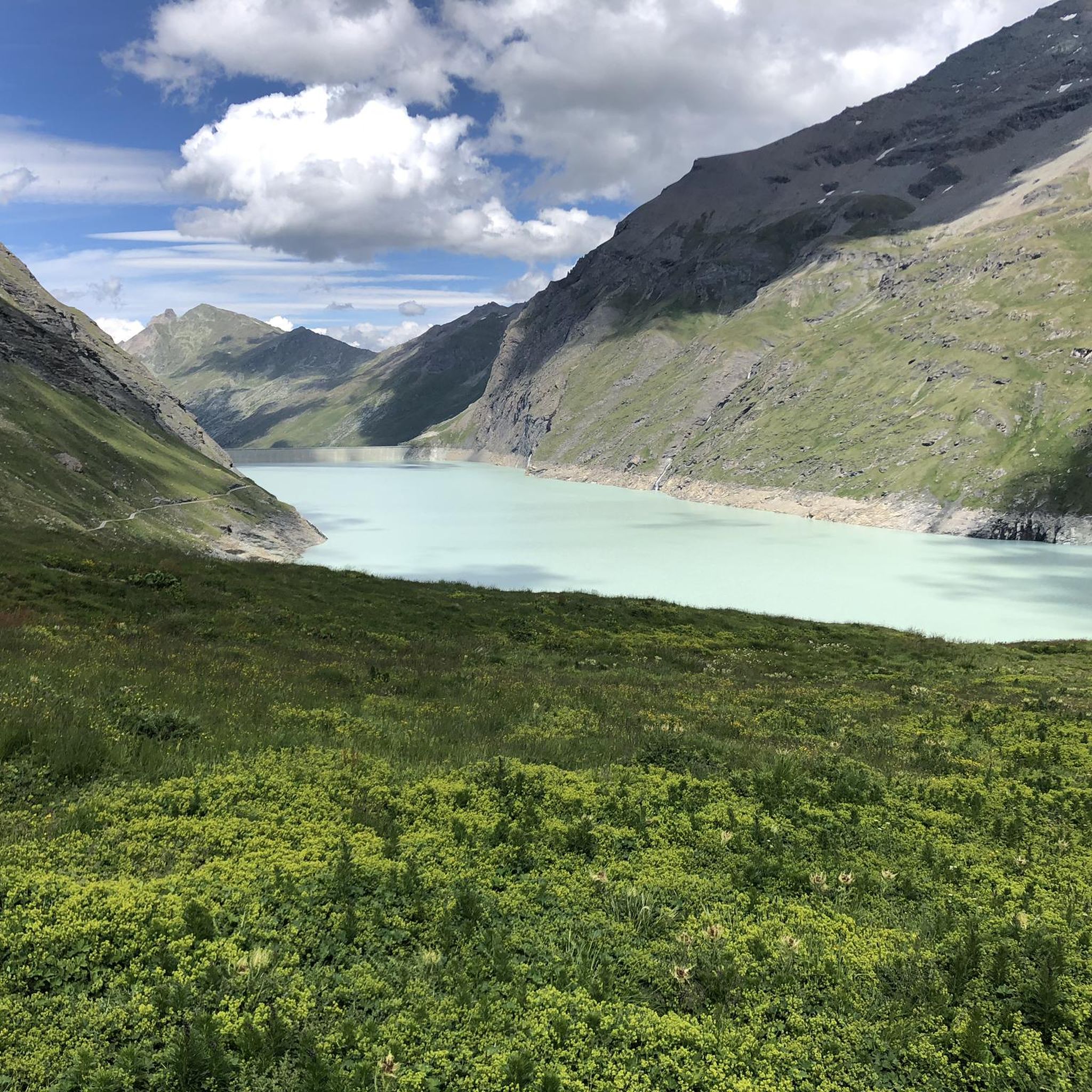
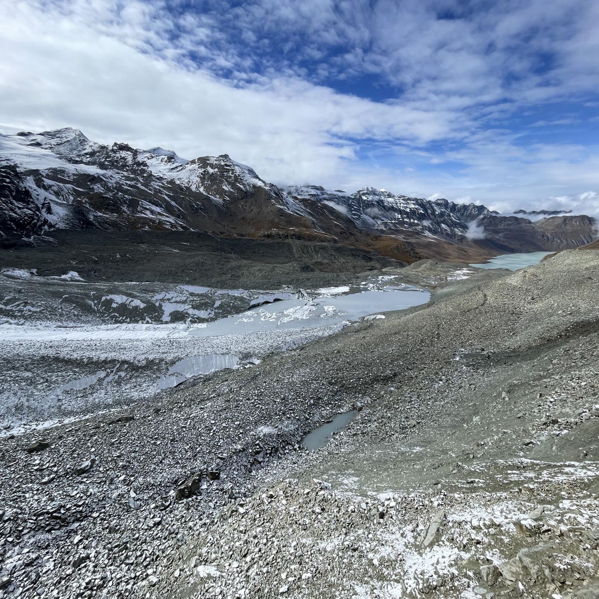
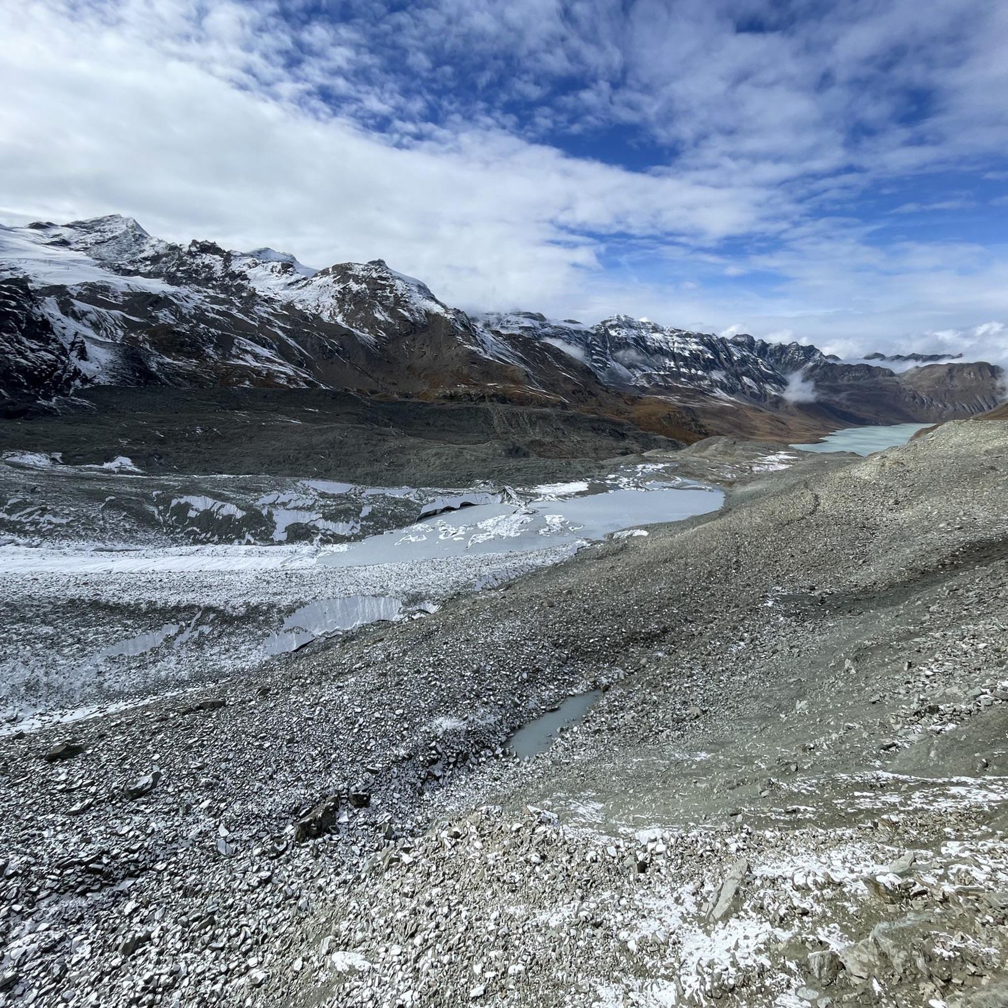
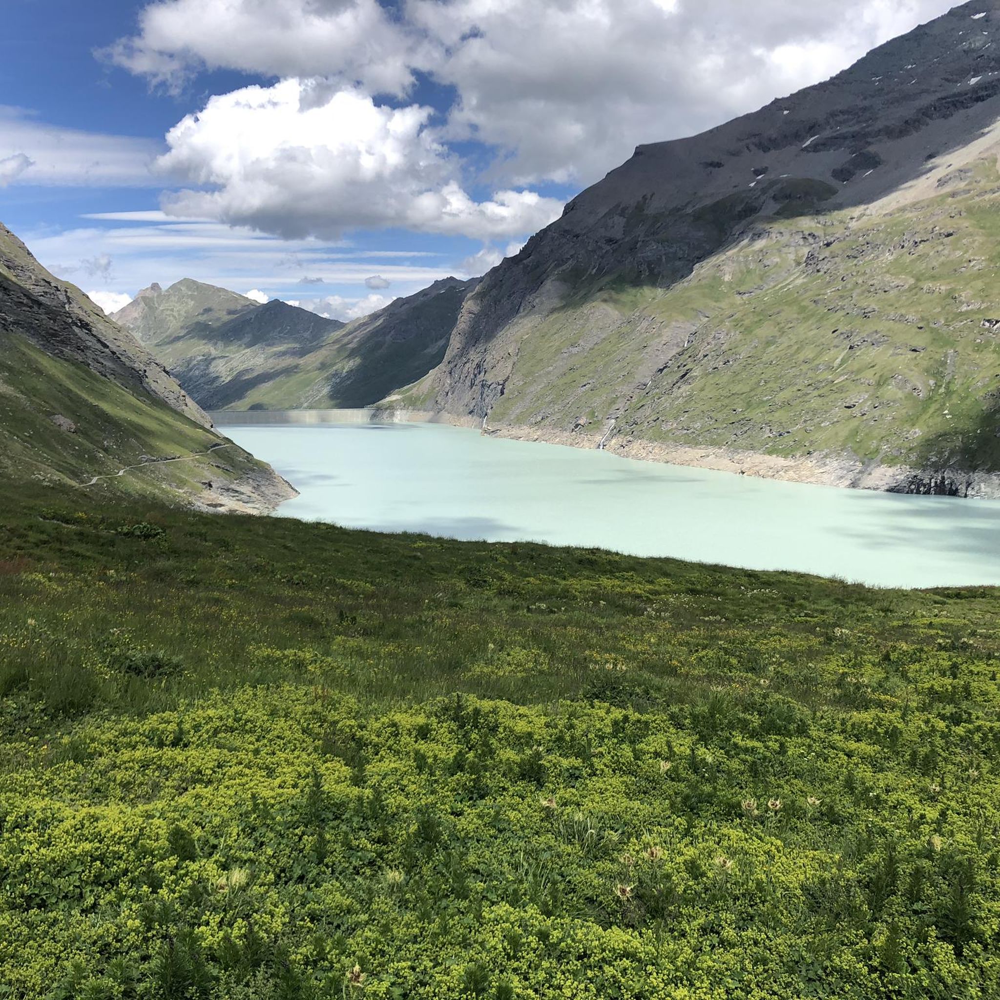
Road cycling routes around Lac des Dix are characterized by dramatic alpine landscapes and significant elevation changes. The region features the Grande Dixence Dam, the world's tallest gravity dam, which creates the turquoise Lac des Dix. Cyclists encounter towering mountain peaks, glaciers, and alpine pastures, with roads that include steep hairpin turns leading to the dam. The area offers a variety of road cycling experiences across its mountainous terrain.
Best road cycling routes around Lac des Dix
- The most popular…
Last updated: October 8, 2026
4.8
(6)
115
riders
64.6km
03:51
1,590m
1,590m
Hard road ride. Very good fitness required. Mostly well-paved surfaces and easy to ride.
5.0
(1)
41
riders
40.6km
02:45
1,230m
1,230m
Hard road ride. Very good fitness required. Some segments of this route may be unpaved and difficult to ride.

3.0
(1)
7
riders
13.9km
00:57
470m
470m
Moderate road ride. Good fitness required. Mostly well-paved surfaces and easy to ride.
5.0
(1)
91
riders
30.5km
02:01
930m
930m
Hard road ride. Very good fitness required. Some segments of this route may be unpaved and difficult to ride.
4.0
(1)
16
riders
14.4km
01:02
440m
440m
Moderate road ride. Good fitness required. Mostly well-paved surfaces and easy to ride.
Our route recommendations are based on thousands of hikes, rides, and runs completed by other people on komoot.
Start today with a free account
Your next adventure awaits.


Other adventures around Lac des Dix

Tips from the Community


Great campervan site, which unfortunately is no longer open—and will likely never be allowed to reopen. The mountains surrounding the campsite have been declared unsafe by the government. Information on their Arolla Camping website
0
0

Arolla's town center is very pleasant. You'll find a mini-market, a sports shop with a great welcome, a tourist office, and hotels with terraces where you can enjoy a drink with a magnificent view of the mountains surrounding the town.
2
0
Can't give an opinion because the place was closed when we went there, but from the outside this place is very nice.
0
0
Magnificent views over the houses of Fionnay to the rock massifs rising to the north with a waterfall that falls freely from a great height.
1
0

Arolla a local museum for the hotel industry and ski infrastructure
0
0
Frequently Asked Questions
What are the typical difficulty levels for road cycling routes around Lac des Dix?
Road cycling routes in the Lac des Dix region are generally challenging, featuring significant elevation gains. You'll find routes ranging from moderate to difficult, suitable for cyclists with good to very good fitness. For example, the Euseigne Pyramids loop from Arolla is rated difficult with over 1500 meters of ascent, while the View of Mauvoisin Dam – Mauvoisin Dam loop from Becca de Corbassière offers a moderate challenge with around 468 meters of climbing.
What kind of landscapes and natural features can I expect to see while cycling?
The region offers a stunning alpine environment with towering peaks, glaciers, and vibrant alpine pastures. You'll cycle alongside the distinctive turquoise waters of Lac des Dix, the largest lake in the Swiss Alps above 2,000 meters. Expect panoramic views of mountains, glimpses of distant glaciers, and diverse alpine flora. Keep an eye out for wildlife like ibex, marmots, and eagles, especially during spring and summer.
Are there any notable landmarks or attractions along the road cycling routes?
Absolutely. A primary attraction is the Grande Dixence Dam, one of the tallest gravity dams in the world and the highest point in Europe accessible to tourists. The road leading up to it is a significant draw for cyclists. Other routes might take you past the Ferpècle Dam, offering views of glaciers and high peaks, or near the Mauvoisin Dam. The Euseigne Pyramids, unique geological formations, are also a highlight on some routes.
What is the best time of year for road cycling around Lac des Dix?
The best time for road cycling in the Lac des Dix region is typically from late spring to early autumn (June to September). During these months, the alpine passes are generally clear of snow, and the weather is more stable, offering pleasant temperatures and clear views. Always check local weather and road conditions before heading out, as mountain weather can change rapidly.
Are there any circular road cycling routes available?
Yes, many of the road cycling routes around Lac des Dix are designed as loops, allowing you to start and finish in the same location. Examples include the challenging Euseigne Pyramids loop from Arolla and the moderate Ferpècle Dam – La Sage loop from Evolène. These circular routes provide a comprehensive experience of the region's diverse scenery.
What do other road cyclists enjoy most about the routes in Lac des Dix?
The area is highly rated by the komoot community, with an average score of 4.4 stars. Reviewers often praise the dramatic alpine landscapes, the challenging yet rewarding climbs, and the continuous stunning views of the lake, towering peaks, and glaciers. The well-paved surfaces on most routes are also frequently highlighted.
Is public transport available to access the cycling routes?
Yes, public transport options, primarily post buses, serve the Valais region and can provide access to villages like Arolla or Evolène, which are common starting points for many road cycling routes. It's advisable to check the local bus schedules and ensure your bike can be transported, especially during peak season.
Where can I find parking if I drive to the starting points?
Parking is generally available in the villages that serve as starting points for the routes, such as Arolla, Les Haudères, or Evolène. Specific parking areas might be designated for visitors. Always look for official parking signs and be mindful of any fees or restrictions, especially in smaller alpine communities.
Are there any cafes or places to refuel along the routes?
While the routes traverse high alpine terrain, you will find opportunities to refuel in the villages at the start or end of loops, such as Arolla, Les Haudères, or Evolène. Along some longer routes, there might be mountain huts or small eateries, but it's always recommended to carry sufficient water and snacks, especially on more remote sections.
What gear recommendations do you have for road cycling in this region?
Given the significant elevation changes and alpine environment, a road bike with a good climbing gear ratio is highly recommended. Essential gear includes a helmet, appropriate cycling apparel for varying weather conditions (layers are key), plenty of water, energy snacks, a repair kit, and navigation tools. Due to the high altitudes, sun protection is also crucial.
Are there any easier or more moderate road cycling options for less experienced riders?
While many routes are challenging, there are moderate options available. The View of Mauvoisin Dam – Mauvoisin Dam loop from Becca de Corbassière is a moderate 13.9 km route with around 468 meters of ascent, offering a taste of the alpine environment without the extreme demands of the most difficult climbs. Another moderate option is the Ferpècle Dam – La Sage loop from Evolène.
Most popular routes around Lac des Dix

Get inspired with the komoot mobile app


Explore more
Browse the best Road cycling routes in other regions.
