The best road cycling routes around Lake d'Isola
4.8
(26)
890
riders
15
rides
Road cycling routes around Lake d'Isola traverse an alpine landscape characterized by significant elevation changes, mountain passes, and deep valleys. The region, situated in Moësa, features routes that often include climbs to high-altitude villages and descents through forested areas. Road cyclists can expect a mix of challenging ascents and scenic stretches alongside natural water bodies. The terrain is defined by its mountainous character, offering varied gradients suitable for experienced riders.
Best road cycling routes around Lake d'Isola
- The most popular…
Last updated: August 14, 2026
5.0
(4)
105
riders
42.0km
02:28
1,030m
1,030m
Hard road ride. Very good fitness required. Mostly well-paved surfaces and easy to ride.
14
riders
18.4km
01:13
570m
570m
Moderate road ride. Good fitness required. Mostly well-paved surfaces and easy to ride.

Sign up for free
4.5
(2)
195
riders
75.8km
04:42
2,020m
2,020m
Hard road ride. Very good fitness required. Mostly well-paved surfaces and easy to ride.
5.0
(3)
62
riders
Moderate road ride. Good fitness required. Mostly well-paved surfaces and easy to ride.
8
riders
13.5km
00:54
430m
430m
Moderate road ride. Good fitness required. Mostly well-paved surfaces and easy to ride.
Get access to more routes and recommendations from other explorers.
Sign up for free
Already have an account?
Our route recommendations are based on thousands of hikes, rides, and runs completed by other people on komoot.
Start today with a free account
Your next adventure awaits.
Login or Signup
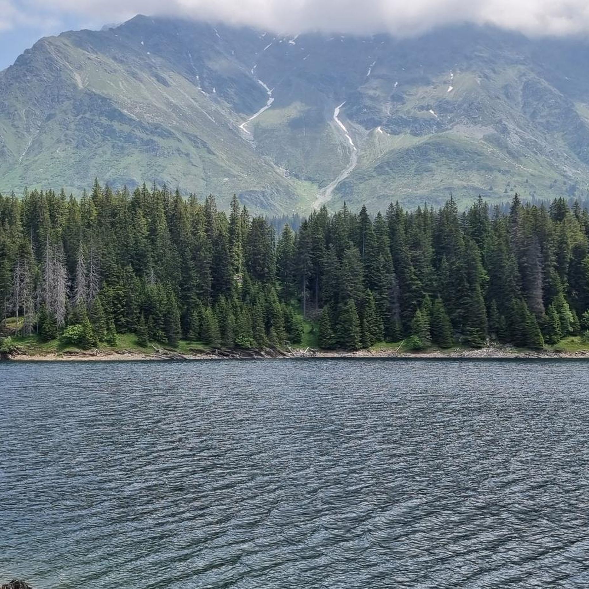
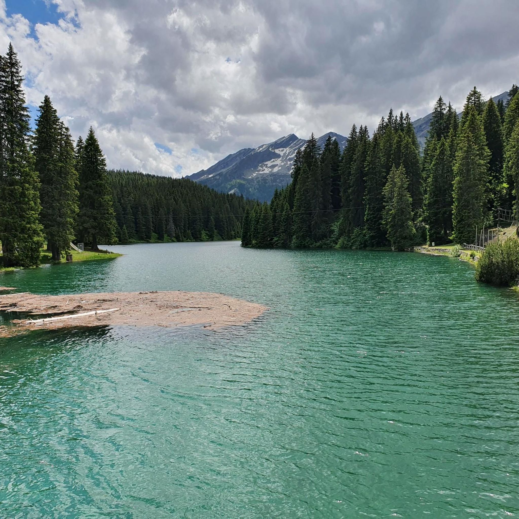
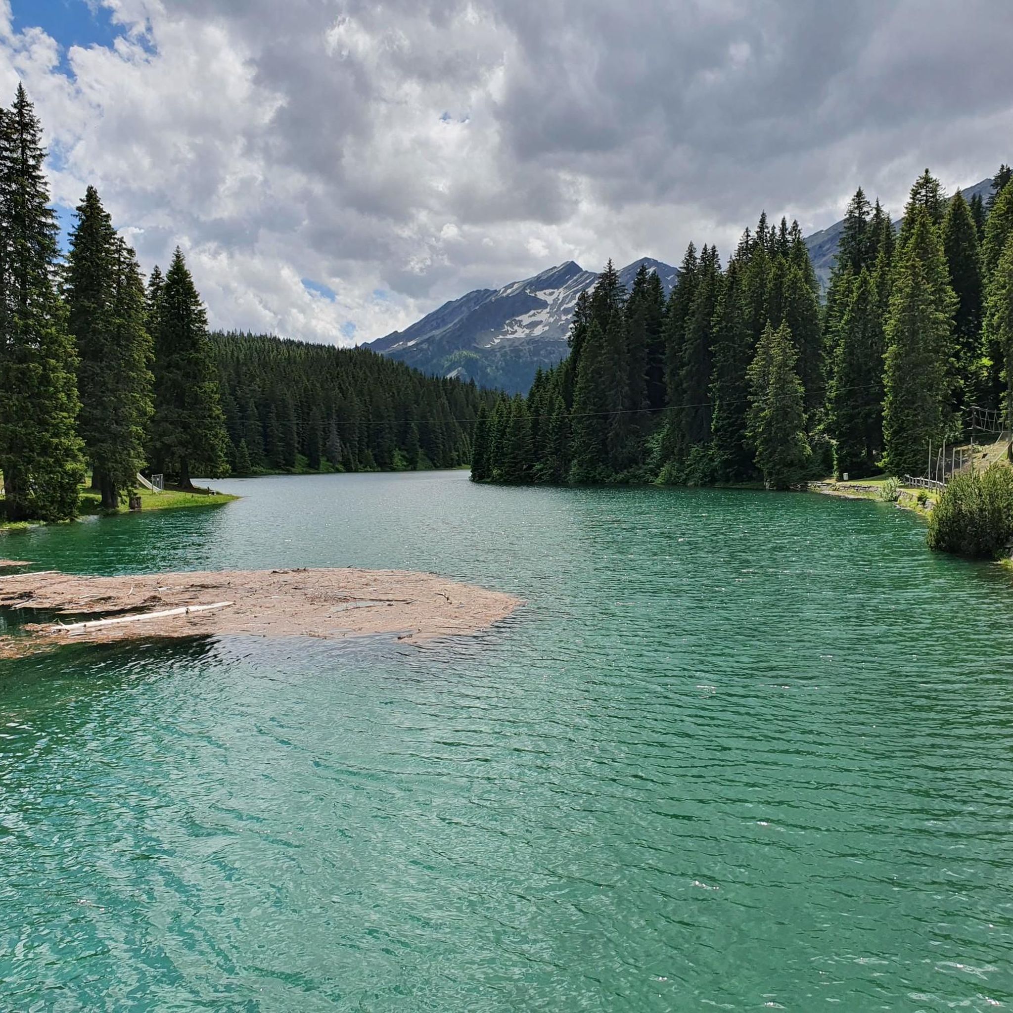
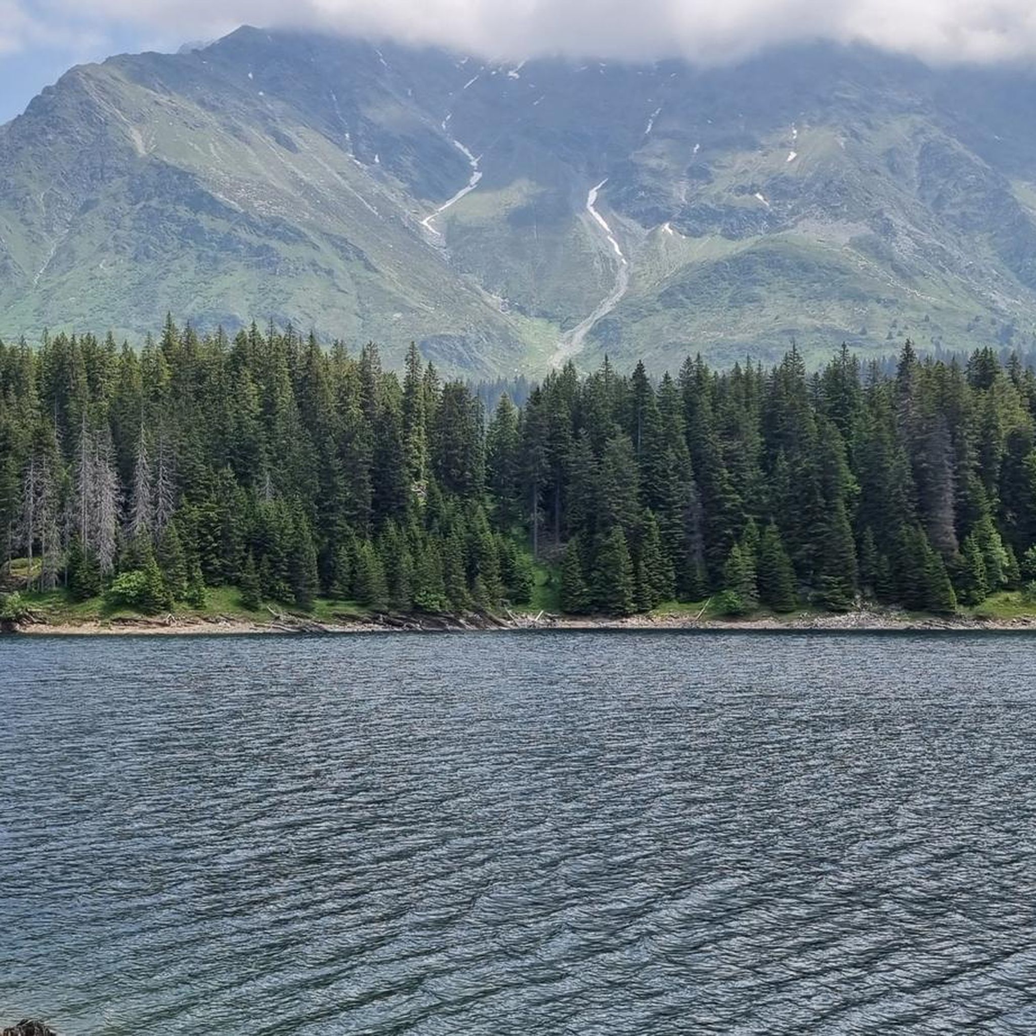
Tips from the Community


An intact village center and a turbulent history.
0
0

The San Bernardino Pass connects the Misox with the Rheinwald and is located at 2,066 meters. At the pass summit, there is a restaurant and a bus stop, making the location easily accessible. The open high mountain landscape with small lakes and wide open spaces is well suited for a break.
0
0
Directly in the village lies the historic mineral spring of San Bernardino. The crystal-clear water has been emerging here for centuries and can still be tapped fresh today. A short stop is worthwhile – not only for the history, but also for a refreshing break at the beginning or end of your tour.
0
0

Very good alternative to the main road, completely paved.
0
0

S.Bernardo Mineral Water, San Bernardino Quality water since 1926 S.Bernardo represents the perfect union of quality, tradition, and elegance. Its spring originates in the Maritime Alps, at an altitude of 1,300 m, in a healthy and unspoiled environment. Text / Source: S. Bernardo S.p.A., Via O. Rovere, 41 – 12075 Garessio (CN) https://www.sanbernardo.it/azienda-san-bernardo/
14
0

Self-service Hofladen. A very well-placed stop to refuel before continuing on to the climb to San Bernardino Pass. Yoghurt, cheese, sausages, ice cream... Yoghurt is really delicious. If you are lucky, you might meet a super friendly feline friend, which is happy to share some of the delicious yoghurt ☺️
0
0

Since, as is often the case, the pass signs are completely covered with stickers, taking photos in front of them is no longer fun. Alternatively, you can use the boundary stone to take a "proof photo." On the other side of the road, there's another, smaller stone with the elevation: 2113 m.
0
0
Frequently Asked Questions
Are there easy road cycling routes around Lake d'Isola for beginners?
The road cycling routes around Lake d'Isola are primarily designed for experienced riders, featuring significant elevation changes and mountainous terrain. While there are no routes classified as 'easy', you can find several 'moderate' options, such as the Lake Dosso – Pian San Giacomo loop from Mesocco, which is 15.5 miles (24.9 km) long and takes about 1 hour 46 minutes.
What is the typical duration for road cycling routes in the Lake d'Isola region?
The duration of road cycling routes around Lake d'Isola varies depending on the route's length and difficulty. For instance, the Hinterrhein Village – Splügen loop from San Bernardino, a difficult 33.3-mile (53.6 km) route, typically takes around 3 hours 1 minute. Shorter, moderate routes like the Rock Formations in Graubünden – San Bernardino Pass loop from Hinterrhein can be completed in about 1 hour.
Is parking available for road cyclists near the routes around Lake d'Isola?
Yes, parking is generally available in the villages that serve as starting points for many routes. For example, you can find parking facilities in San Bernardino and Mesocco, which are common departure points for road cycling tours in the Lake d'Isola region.
What is the best season for road cycling around Lake d'Isola?
The best season for road cycling around Lake d'Isola is typically from late spring to early autumn (May to October). During these months, the mountain passes are usually clear of snow, and the weather conditions are more favorable for cycling, offering pleasant temperatures and stunning alpine views.
Are there any challenging road cycling routes for advanced riders near Lake d'Isola?
Absolutely. The Lake d'Isola region is known for its challenging terrain, perfect for advanced road cyclists. Routes like the Scenic Road in Graubünden – Pian San Giacomo loop from San Bernardino offer extensive climbs and panoramic views across the Graubünden region, covering 33.3 miles (53.6 km) with significant elevation gain.
What kind of scenic viewpoints can I expect along the road cycling routes?
Road cycling routes around Lake d'Isola offer numerous scenic viewpoints, showcasing the alpine landscape. You can expect panoramic views of deep valleys, mountain passes, and natural water bodies. Highlights include views of Lake Isola and the surrounding San Bernardino Mountains, as well as vistas from the San Bernardino Pass.
Are there any loop routes for road cycling around Lake d'Isola?
Yes, many road cycling routes in the Lake d'Isola area are designed as loops, allowing you to start and finish in the same location. Examples include the Hinterrhein Village – Splügen loop from San Bernardino and the Lake Dosso – Pian San Giacomo loop from Mesocco, providing convenient circular tours.
What do other road cyclists enjoy most about road cycling in Lake d'Isola?
The Lake d'Isola region is highly rated by the komoot community, with an average score of 4.9 stars from over 10 reviews. Road cyclists often praise the challenging ascents, the stunning alpine scenery, and the variety of routes that traverse mountain passes and deep valleys, offering a rewarding experience for experienced riders.
What attractions can I see along the road cycling routes around Lake d'Isola?
Along the road cycling routes, you'll encounter several natural attractions. Key highlights include the beautiful Lake Isola and Lago d’Isola, as well as the impressive San Bernardino Pass. Many routes also offer breathtaking views of Lake Isola and the San Bernardino Mountains.
How many road cycling routes are available in the Lake d'Isola region?
There are a total of 6 road cycling routes documented in the Lake d'Isola region, offering a range of moderate to difficult options for cyclists looking to explore the alpine landscape.
Are there any routes that pass by Lake Dosso?
Yes, the Lake Dosso – Pian San Giacomo loop from Mesocco is a 15.5-mile (24.9 km) moderate trail that leads through alpine valleys and directly past Lake Dosso. Another option is the Lake Dosso – San Bernardino Village loop from Mesocco, a difficult 28.4-mile (45.7 km) route.
What are the general weather conditions like for road cycling in Lake d'Isola?
Due to its alpine location, Lake d'Isola experiences variable weather conditions. Summers are generally mild, but mountain weather can change rapidly. Cyclists should be prepared for cooler temperatures at higher elevations, especially on passes, and potential for rain or strong winds. Always check the local forecast before heading out.
Most popular routes around Lake d'Isola
Most popular attractions around Lake d'Isola

Get inspired with the komoot mobile app


Explore more
Browse the best Road cycling routes in other regions.
