The best mountain hikes around Obersee
4.9
(58)
454
hikers
25
hikes
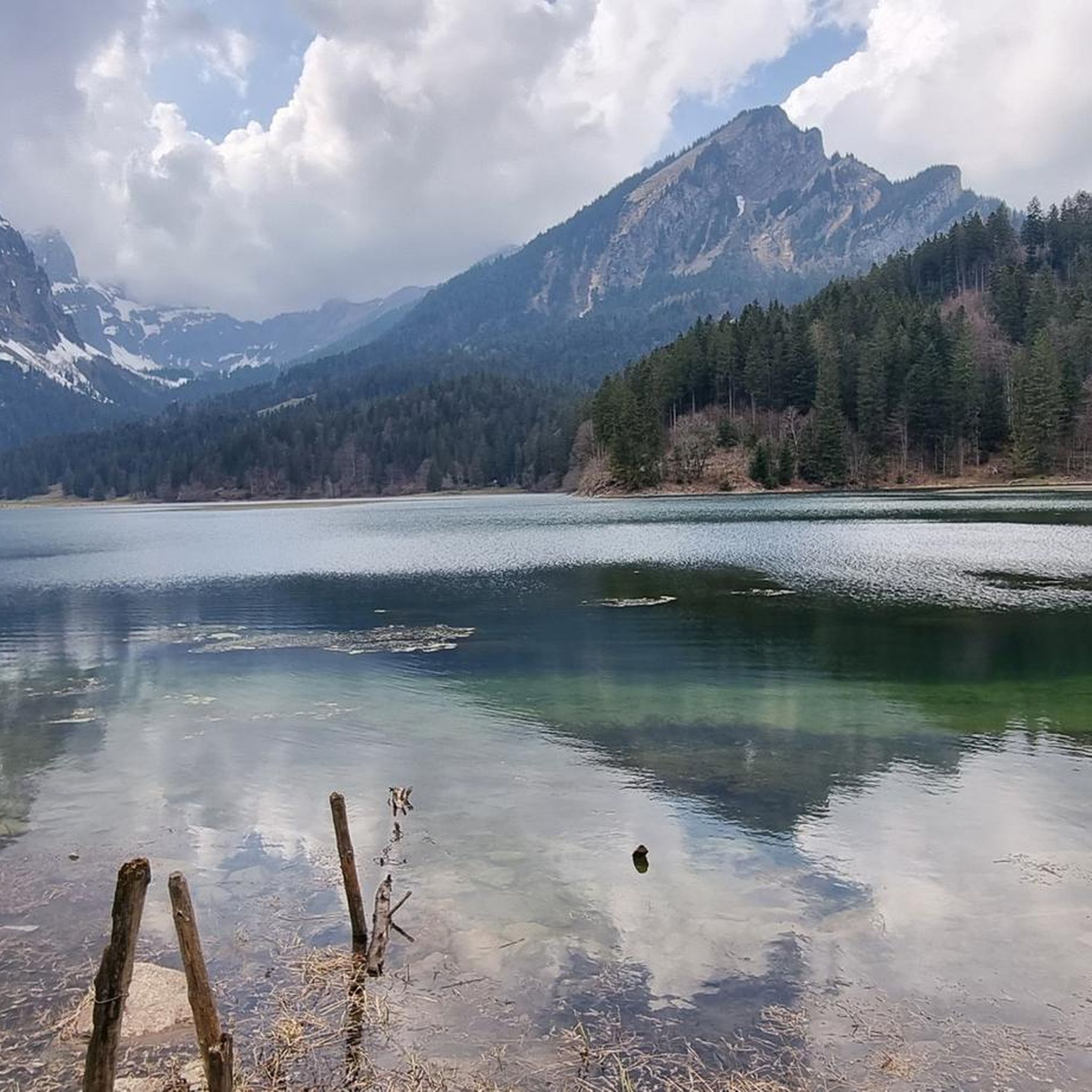
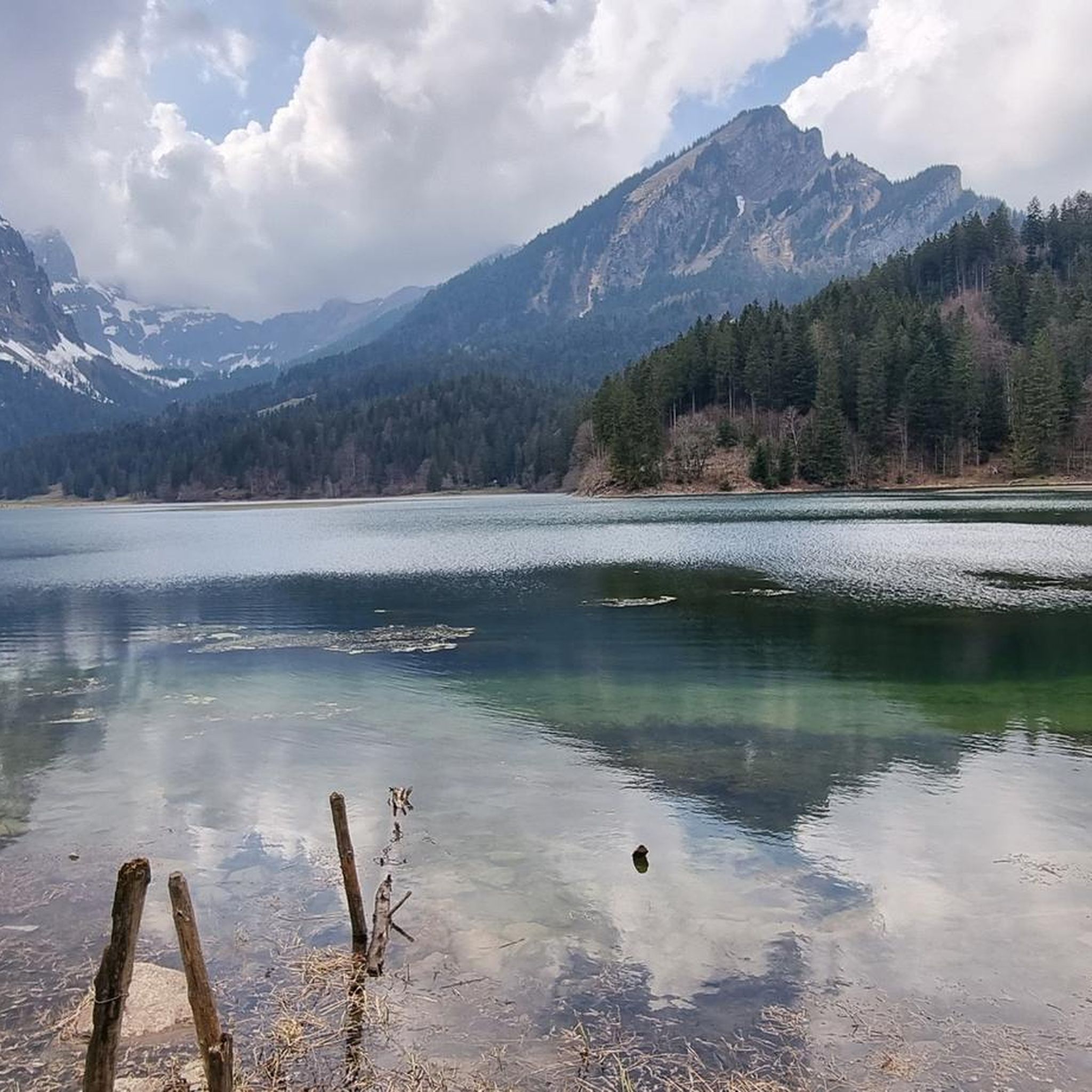
Mountaineering routes around Obersee in the Canton of Glarus, Switzerland, are characterized by a dramatic alpine setting. The region features steep peaks such as Rautispitz and Bärensoolspitz, which rise sharply around the lake, offering challenging ascents. The terrain includes diverse landscapes of alpine meadows, dense forests, and the striking turquoise waters of Obersee itself. This varied topography provides a range of mountaineering experiences, from demanding high-altitude routes to paths through scenic valleys.
Best mountaineering routes around Obersee
- The most popular…
Last updated: October 23, 2026
4.8
(4)
39
hikers
14.0km
07:11
1,240m
1,240m
Hard mountaineering route. Very good fitness required. Sure-footedness, sturdy shoes and alpine experience required.
5.0
(3)
15
hikers
10.9km
05:09
920m
920m
Hard mountaineering route. Very good fitness required. Mostly walkable paths. Sure-footedness required.

5.0
(1)
3
hikers
9.72km
03:23
410m
410m
Moderate mountaineering route. Good fitness required. Mostly walkable paths. Sure-footedness required.
5.0
(3)
11
hikers
13.0km
05:40
750m
750m
Hard mountaineering route. Very good fitness required. Sure-footedness, sturdy shoes and alpine experience required.
23
hikers
8.48km
04:03
650m
650m
Hard mountaineering route. Good fitness required. Sure-footedness, sturdy shoes and alpine experience required.
Get access to more routes and recommendations from other explorers.
Already have an account?
Our route recommendations are based on thousands of hikes, rides, and runs completed by other people on komoot.
Start today with a free account
Your next adventure awaits.

Tips from the Community

pretty here, very pretty
1
0

You are also allowed to camp there. WC and sanitary facilities available, as well as a dry room.
2
0

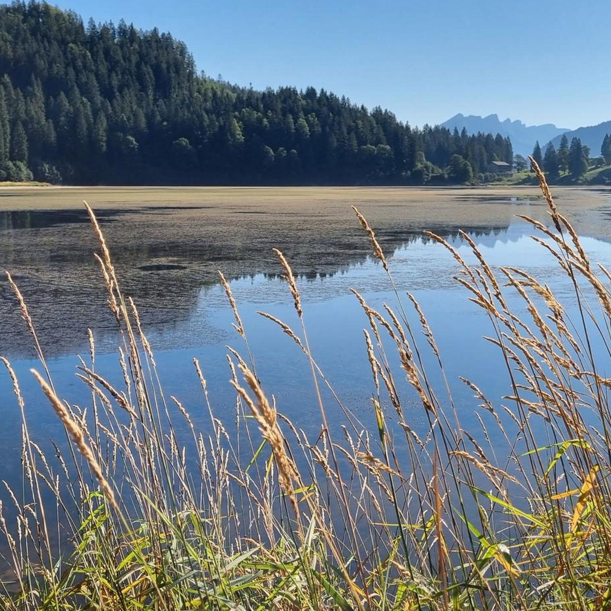
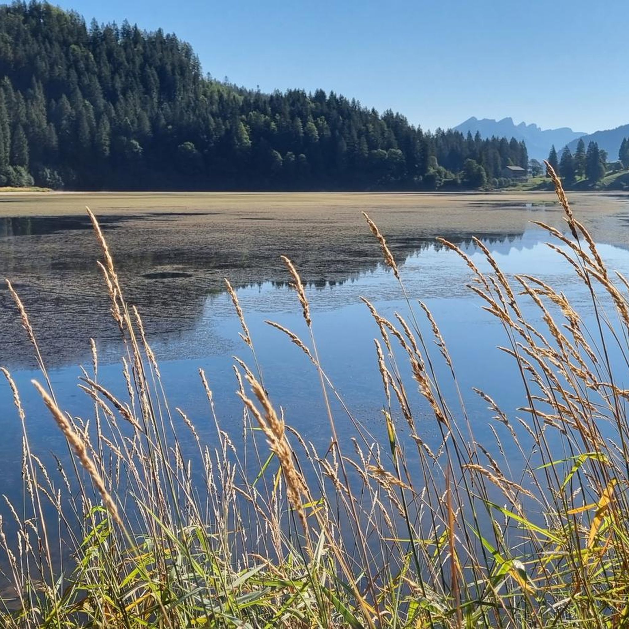
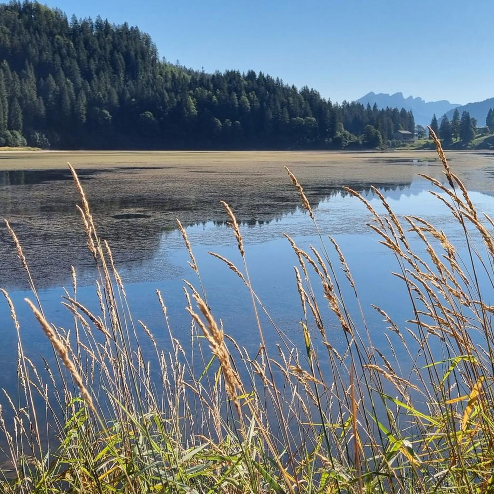
Very beautiful view and nice footpath on the west and south shore of the lake. In the summer of 2026, this western half of the lake was completely dry.
0
0


Small bridge on the south bank of the Obersee leads over a (currently dry) small stream. The footpath around the Obersee is very beautiful, completely passable without problems for hikers and bikers.
1
0
Beautiful lake, with a nice gravel path on the east bank, right along the shore.
0
0
Frequently Asked Questions
How many mountaineering routes are available around Obersee?
There are over 30 mountaineering routes around Obersee in the Canton of Glarus, Switzerland. These routes offer a diverse range of experiences, from moderate ascents to challenging high-alpine adventures.
What are the typical difficulty levels for mountaineering routes in this region?
The mountaineering routes around Obersee primarily cater to experienced individuals, with 26 out of 31 routes rated as 'difficult'. There are also 4 'moderate' routes and 1 'easy' option, ensuring a range of challenges for different skill levels. Routes like Obersee (Glarus) loop from Rautispitz are considered difficult, while Geissgaden – Dürren / Vorder Ahornen loop from Rautispitz is a moderate option.
Are there any family-friendly mountaineering options around Obersee?
While most mountaineering routes are challenging, the broader Obersee area in Glarus offers family-friendly options. There is a flat, 3 km circular trail around the lake, which includes an educational nature trail. For mountaineering specifically, there is 1 'easy' route available, but it's always best to check the specific route details for suitability with children.
What kind of terrain can I expect on the mountaineering routes?
The terrain around Obersee is characterized by a dramatic alpine setting. You can expect diverse landscapes including steep peaks like Rautispitz and Bärensoolspitz, alpine meadows, dense forests, and the striking turquoise waters of Obersee itself. Routes often involve significant elevation changes, requiring sure-footedness and sturdy shoes.
What natural features or landmarks can I see along the mountaineering routes?
The region boasts stunning natural beauty. You'll encounter the beautiful turquoise waters of Obersee, often reflecting the rocky peak of Brünnelistock Mountain. Other notable features include the Obersee East Shore, the Sulzbach Bridge, and the impressive rock formation of Schwarzwand. The surrounding peaks like Rautispitz and Bärensoolspitz also offer breathtaking vistas.
Are there any circular mountaineering routes available?
Yes, several mountaineering routes around Obersee are circular. For instance, the popular Obersee (Glarus) loop from Rautispitz is a difficult 13.9 km circular trail. Another challenging option is the Dürren / Vorder Ahornen – Tierberg (1,989 m) loop from Obersee, which offers expansive views.
What is the best time of year for mountaineering around Obersee?
The best time for mountaineering around Obersee is typically during the warmer months, from late spring to early autumn, when trails are clear of snow and weather conditions are more stable. This allows for safe access to higher elevations and offers the most pleasant hiking experience amidst the alpine meadows and forests.
What do other mountaineers say about the routes in Obersee?
The routes in Obersee are highly rated by the komoot community, with an average score of 4.8 stars from over 50 reviews. Mountaineers often praise the dramatic alpine setting, the stunning turquoise lake waters, and the challenging yet rewarding ascents to peaks like Rautispitz.
Are there any amenities like cafes or accommodation near the mountaineering trails?
Yes, there are amenities available. The Obersee Mountain Hotel is a notable spot near the lake. Additionally, the broader Obersee area in Glarus provides opportunities for camping and fishing, enhancing the overall outdoor experience.
Is parking available for accessing the mountaineering routes?
While specific parking details for every trailhead are not provided, Obersee in Glarus is generally accessible, and parking options are typically available near popular starting points for hikes. It's advisable to check local signage or specific route descriptions for the most accurate parking information before your trip.
Are permits required for mountaineering in the Obersee region of Glarus?
Based on available information, there are no specific permits mentioned as being required for general mountaineering or hiking in the Obersee region of the Canton of Glarus, Switzerland. However, it's always good practice to check with local tourism offices or national park authorities for any updated regulations before embarking on your tour.
Are there any particularly challenging mountaineering routes for experienced climbers?
Absolutely. For experienced mountaineers seeking a challenge, routes like Wageten Summit (1,755 m) – Brüggler Ridge loop from Matt offer significant elevation gain and demanding terrain. The region's steep peaks, such as Rautispitz and Bärensoolspitz, contribute to the challenging nature of many routes.
Most popular routes around Obersee
Most popular attractions around Obersee

Get inspired with the komoot mobile app


Explore more
Browse the best Mountain Hikes & Routes in other regions.
