The best mountain hikes around Laghetto di Muzzano
5.0
(9)
76
hikers
5
hikes
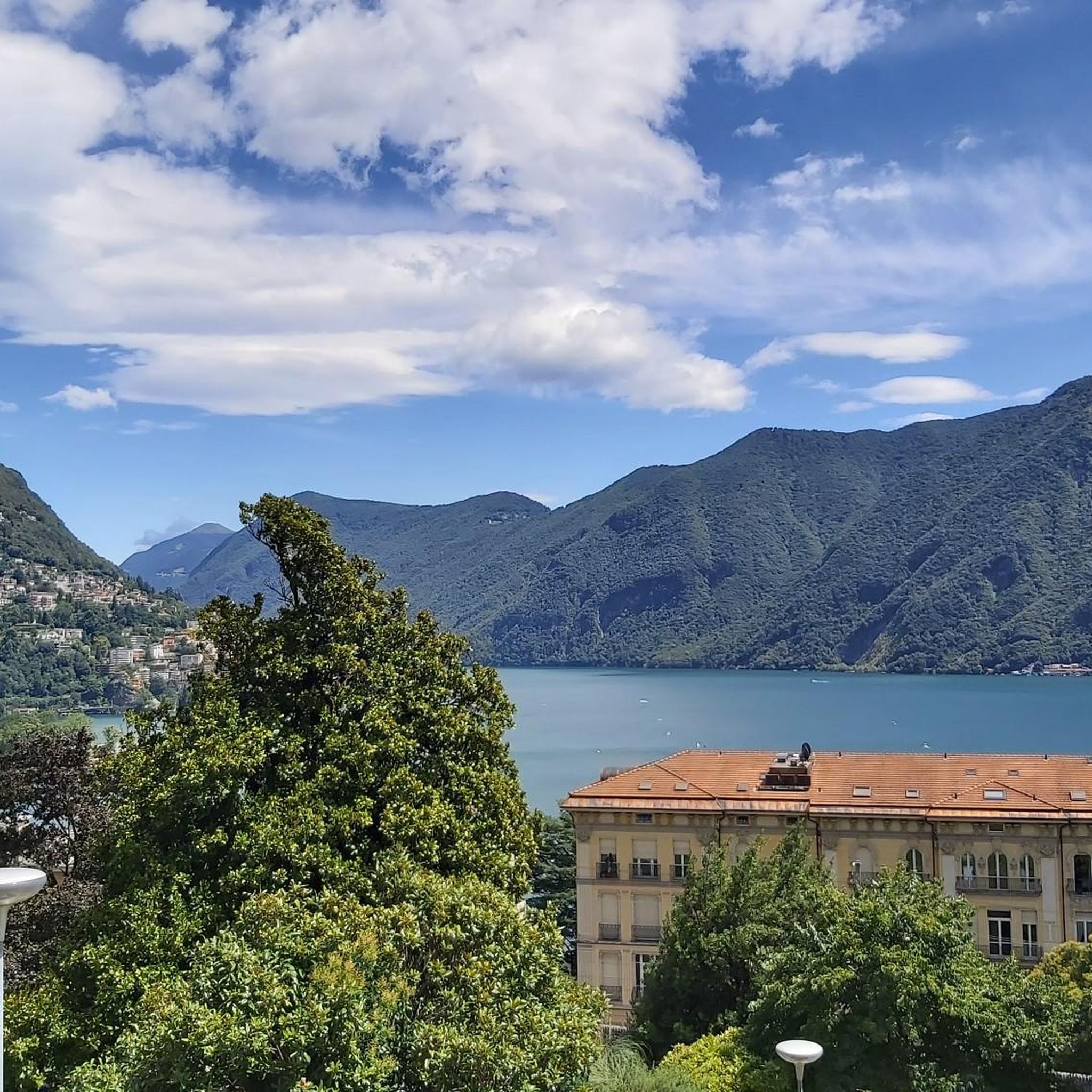
Mountaineering routes around Laghetto di Muzzano are characterized by the protected glacial lake and its surrounding hills, offering varied terrain for ascents and descents. Elevated positions provide views of the water set against mountain backdrops. The region features diverse wetlands and natural landscapes, with routes often traversing hills and offering significant elevation gain.
Best mountaineering routes around Laghetto di Muzzano
- The most popular mountaineering route is Monte San Salvatore – Puntobelvedere loop from Pazzallo, a 3.0 miles (4.8 km)…
Last updated: October 1, 2026
4.8
(5)
40
hikers
4.39km
02:14
350m
350m
Hard mountaineering route. Good fitness required. Sure-footedness, sturdy shoes and alpine experience required.
7
hikers
6.88km
02:57
410m
410m
Hard mountaineering route. Good fitness required. Sure-footedness, sturdy shoes and alpine experience required.

5.0
(1)
5
hikers
4.26km
01:48
260m
260m
Moderate mountaineering route. Great for any fitness level. Mostly accessible paths. Sure-footedness required.
5.0
(1)
4
hikers
8.78km
03:34
500m
500m
Moderate mountaineering route. Good fitness required. Mostly accessible paths. Sure-footedness required.
5
hikers
11.7km
05:20
900m
900m
Hard mountaineering route. Very good fitness required. Mostly accessible paths. Sure-footedness required.
Our route recommendations are based on thousands of hikes, rides, and runs completed by other people on komoot.
Start today with a free account
Your next adventure awaits.
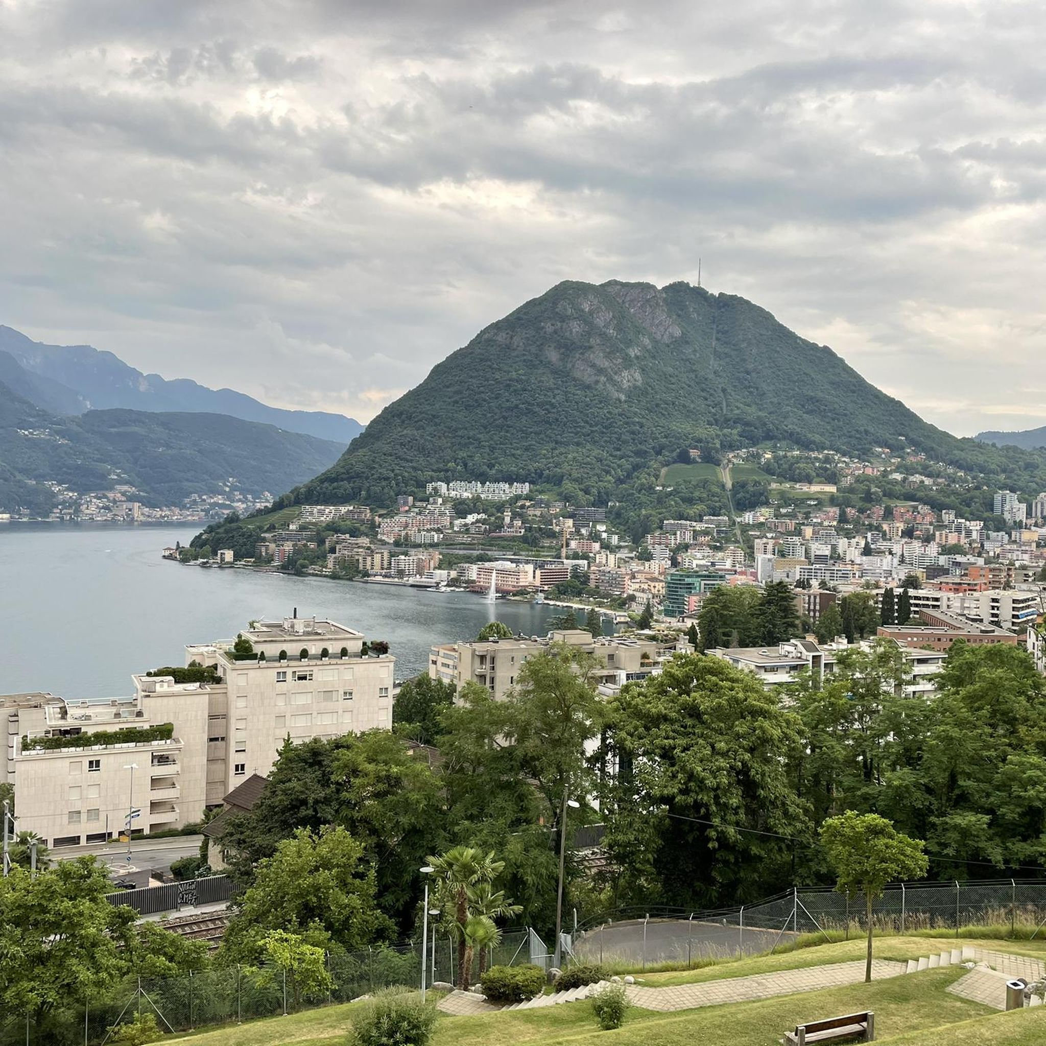
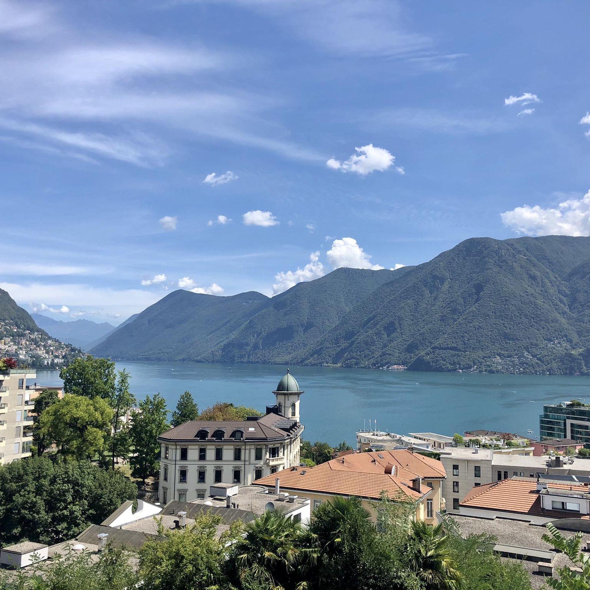
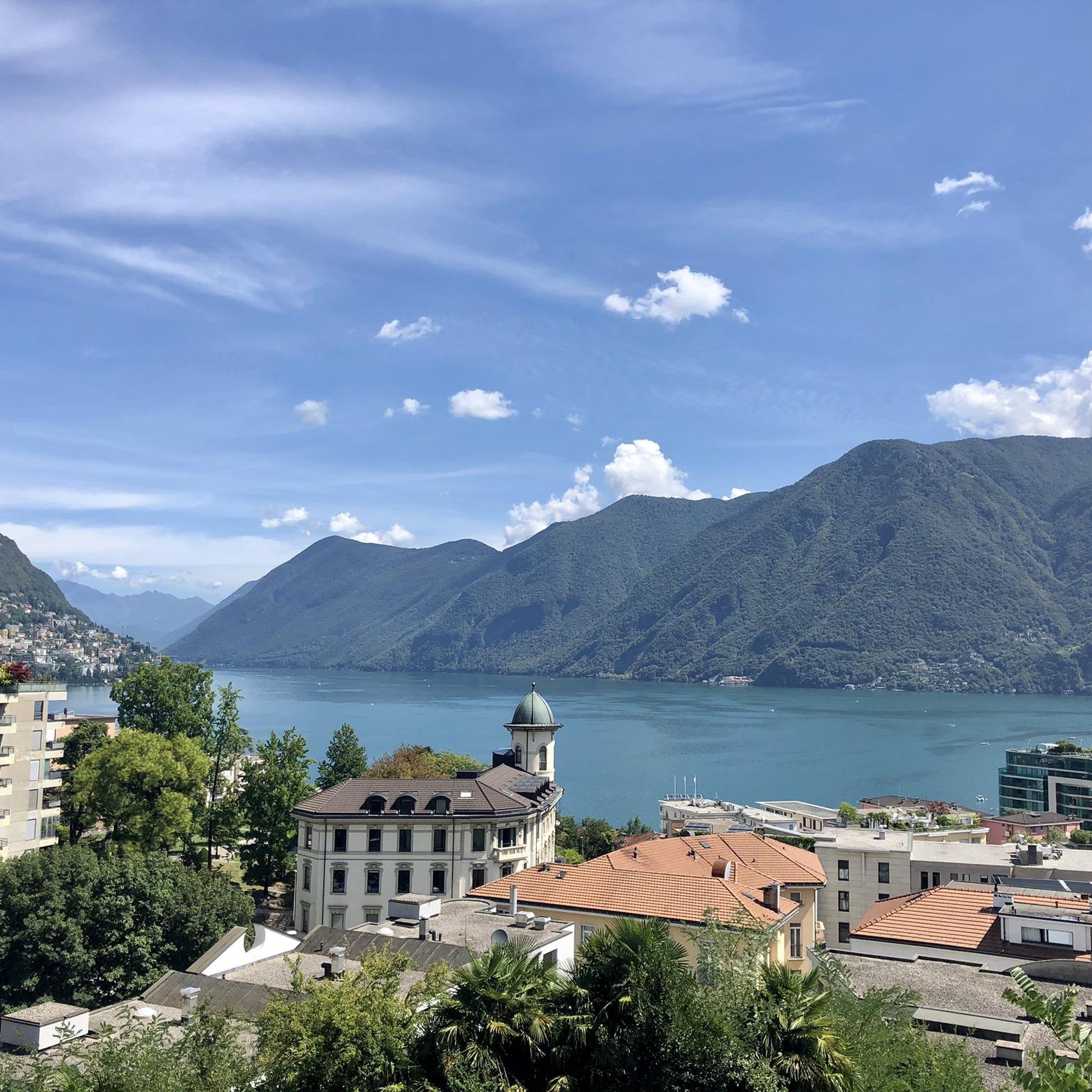
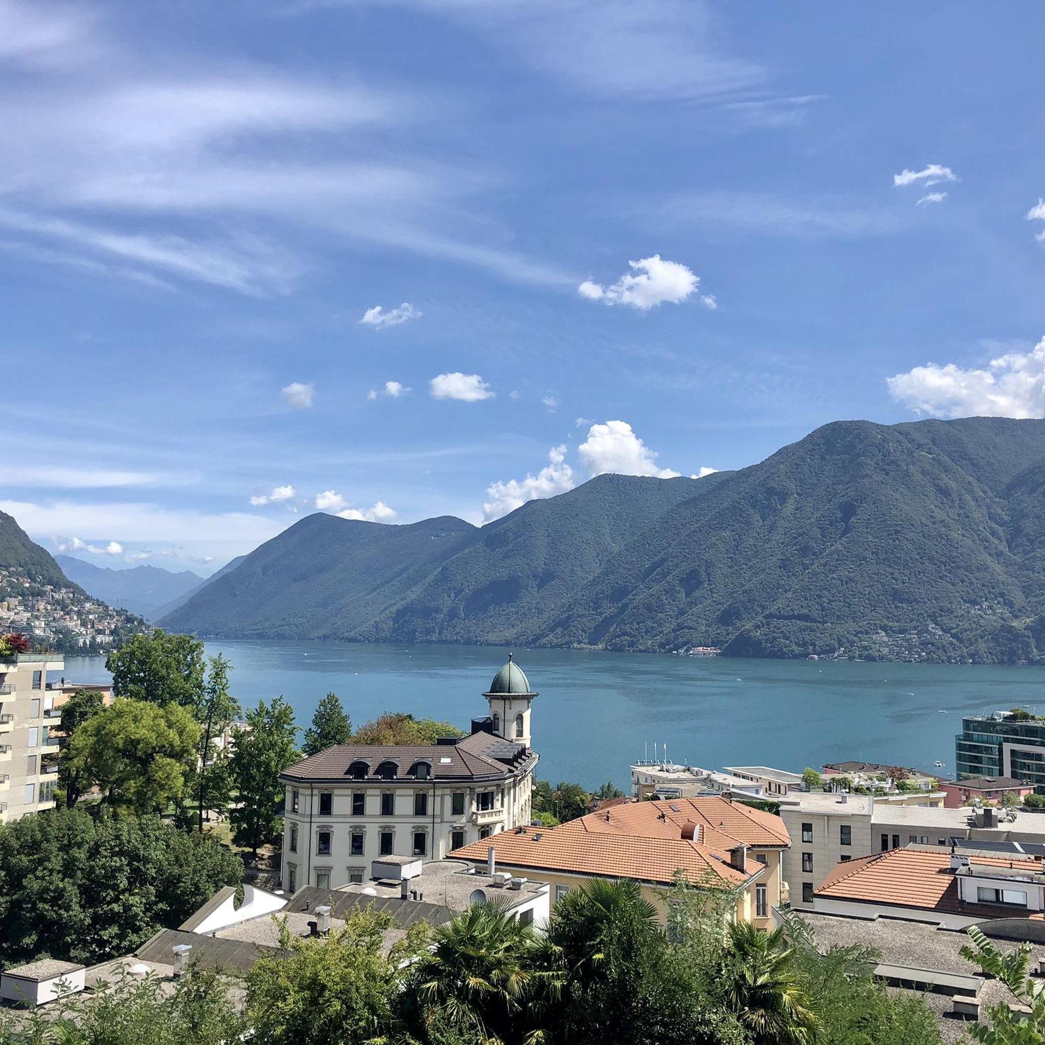

Tips from the Community

Very nice Ticino village. Accessible by Postauto.
0
0

Which direction would I like to take? Always so many possibilities to choose from here.
0
0
Always a beautiful destination for those starting from the valley or from Arosio.
0
0

Nice and cozy restaurant on the summit
8
0
Trips every 30 minutes
8
0

It's definitely tiring but the view makes up for the effort, if you want there's a cable car from Miglieglia😁
0
0

Here you take the mountain bike train up Monte Lema. Then you ride the mountain bike down to Italy and then back to Agno.
0
0
Frequently Asked Questions
What kind of terrain and difficulty can I expect on mountaineering routes around Laghetto di Muzzano?
The routes around Laghetto di Muzzano primarily involve advanced hiking or alpine hiking, rather than technical mountaineering. You'll encounter varied terrain with significant elevation gain and descent, often traversing hills and offering views of the protected glacial lake. While some trails require good fitness and sure-footedness, they generally fall within the T1-T6 range of the Swiss Alpine Club (SAC) hiking scale, with the most challenging routes being difficult hikes rather than technical climbs.
How many mountaineering routes are available in the Laghetto di Muzzano area?
There are 7 mountaineering routes available around Laghetto di Muzzano. These include 3 moderate and 4 difficult options, offering a range of challenges for different skill levels.
Are there family-friendly mountaineering routes near Laghetto di Muzzano?
While the routes are generally described as advanced hiking or alpine hiking, some moderate options might be suitable for families with older children who are experienced hikers and have good fitness. For example, the Monte San Salvatore – Puntobelvedere loop from Pazzallo is a moderate route that takes about 2 hours 20 minutes.
Can I bring my dog on the mountaineering trails around Laghetto di Muzzano?
The Laghetto di Muzzano area is a protected natural environment, and while many hiking trails in Switzerland are dog-friendly, it's always best to check specific trail regulations, especially concerning protected areas and wildlife. Ensure your dog is well-behaved, kept on a leash where required, and that you carry out all waste.
Are there circular mountaineering routes available?
Yes, many of the routes around Laghetto di Muzzano are designed as loops. For instance, you can explore the Via Ferrata San Salvatore – Monte San Salvatore loop from Circolo di Carona, or the Sasso Rosso – Monte Boglia loop from Brè sopra Lugano, both offering varied terrain and scenic views.
Where can I find parking for the mountaineering trails?
Parking availability varies by trailhead. For routes starting from Pazzallo or Circolo di Carona, you may find designated parking areas. For routes like the Monte Ferraro loop from Alto Malcantone, look for parking in or near the village. It's advisable to check local parking information for your specific starting point before you go.
How can I access the mountaineering routes using public transport?
The Laghetto di Muzzano region is well-connected, being close to Lugano. Many trailheads, especially those around Monte San Salvatore, are accessible via public transport, including buses or even the funicular to Monte San Salvatore. Villages like Morcote or Brè sopra Lugano also have public transport links, making it possible to reach various starting points without a car.
What is the best time of year for mountaineering around Laghetto di Muzzano?
The best time for mountaineering (advanced hiking) around Laghetto di Muzzano is typically from spring through autumn. During these seasons, the weather is generally more stable, and trails are free of snow, offering pleasant conditions for longer excursions. The diverse wetlands and reed beds are particularly vibrant in spring and summer.
What natural features or viewpoints can I expect to see on these routes?
You can expect stunning views of the protected glacial Laghetto di Muzzano itself, set against mountain backdrops. Elevated positions, such as those on Monte San Salvatore, offer panoramic vistas of the lake and surrounding landscapes. The region is also rich in biodiversity, with diverse wetlands, reed beds, and charming villages like Morcote and vineyards adding to the scenic beauty.
How long do the mountaineering routes typically take?
The duration of routes varies depending on their length and difficulty. For example, the moderate Monte San Salvatore loop from Lago di Lugano takes approximately 1 hour 49 minutes. More challenging routes, such as the Monte Ferraro loop from Alto Malcantone, can take around 4 hours 44 minutes, with some routes extending up to five hours with significant elevation gain.
What do other mountaineers say about the routes around Laghetto di Muzzano?
The routes around Laghetto di Muzzano are highly rated by the komoot community, with an average score of 5.0 stars from over 8 reviews. Mountaineers often praise the varied terrain, the beautiful views of the glacial lake, and the challenging yet rewarding ascents.
Are there any routes suitable for beginner mountaineers?
While the routes are categorized as 'mountaineering' in this guide, they are more accurately described as advanced hiking or alpine hiking. For beginners, it's recommended to start with the moderate routes, such as the Monte San Salvatore – Puntobelvedere loop from Pazzallo, which offers a good introduction to the region's terrain without extreme technical demands. Always ensure you have appropriate gear and fitness for the chosen route.
Most popular routes around Laghetto di Muzzano

Get inspired with the komoot mobile app


Explore more
Browse the best Mountain Hikes & Routes in other regions.
