The best mountain hikes around Amsoldingersee
4.9
(27)
192
hikers
9
hikes
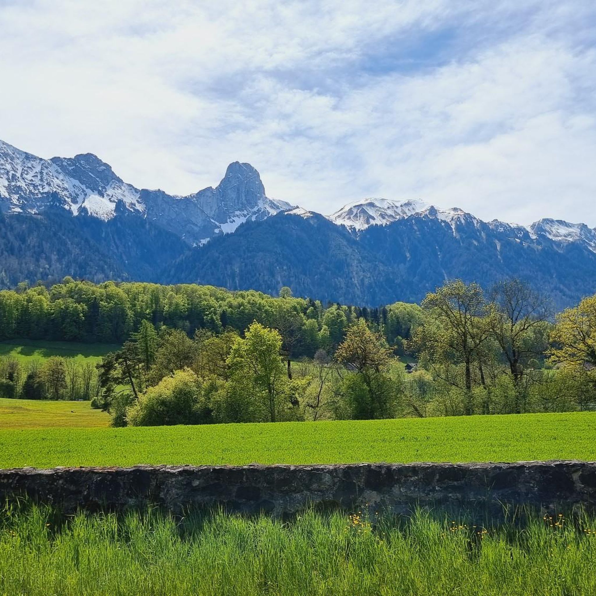
Mountaineering routes around Amsoldingersee are situated amidst rolling hills at the foot of the Stockhorn, bordering the Bernese Oberland. While Amsoldingersee itself is a protected nature reserve, the surrounding area provides access to alpine foothills and offers views of major peaks like the Eiger, Mönch, and Jungfrau. The terrain features a blend of tranquil lakeside scenery and the dramatic vistas of the nearby Alps, with routes often involving significant elevation gain. These routes are characterized by varied landscapes, from forested…
Last updated: November 6, 2026
5.0
(2)
11
hikers
10.2km
04:27
660m
660m
Hard mountaineering route. Good fitness required. Sure-footedness, sturdy shoes and alpine experience required.
5.0
(1)
11
hikers
17.7km
08:15
1,560m
1,560m
Hard mountaineering route. Very good fitness required. Sure-footedness, sturdy shoes and alpine experience required.

5.0
(2)
9
hikers
14.3km
06:46
1,190m
1,190m
Hard mountaineering route. Very good fitness required. Sure-footedness, sturdy shoes and alpine experience required.
5.0
(1)
8
hikers
6.92km
03:52
680m
680m
Hard mountaineering route. Good fitness required. Sure-footedness, sturdy shoes and alpine experience required.
3
hikers
15.2km
07:11
1,250m
1,240m
Hard mountaineering route. Very good fitness required. Sure-footedness, sturdy shoes and alpine experience required.
Get access to more routes and recommendations from other explorers.
Already have an account?
Our route recommendations are based on thousands of hikes, rides, and runs completed by other people on komoot.
Start today with a free account
Your next adventure awaits.

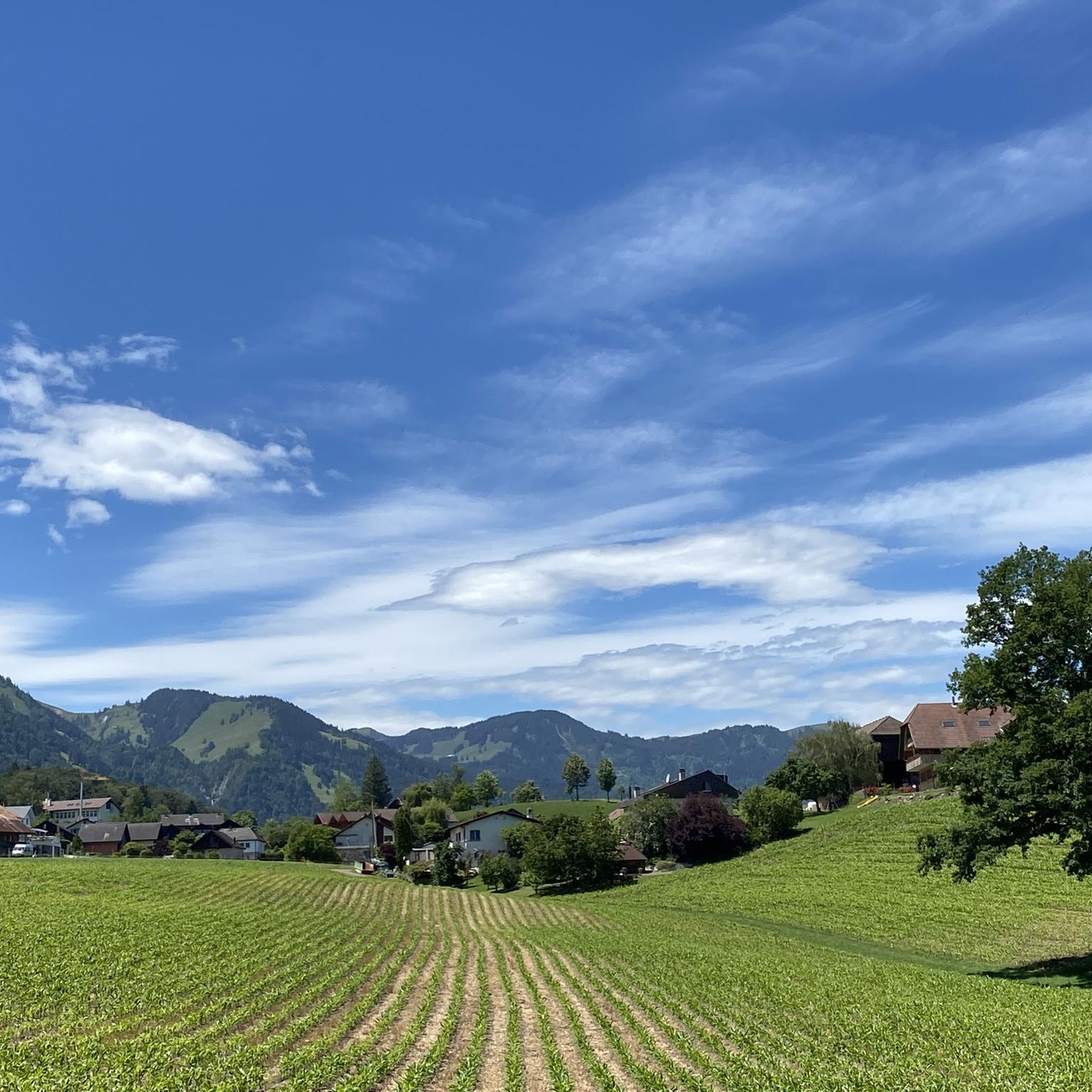
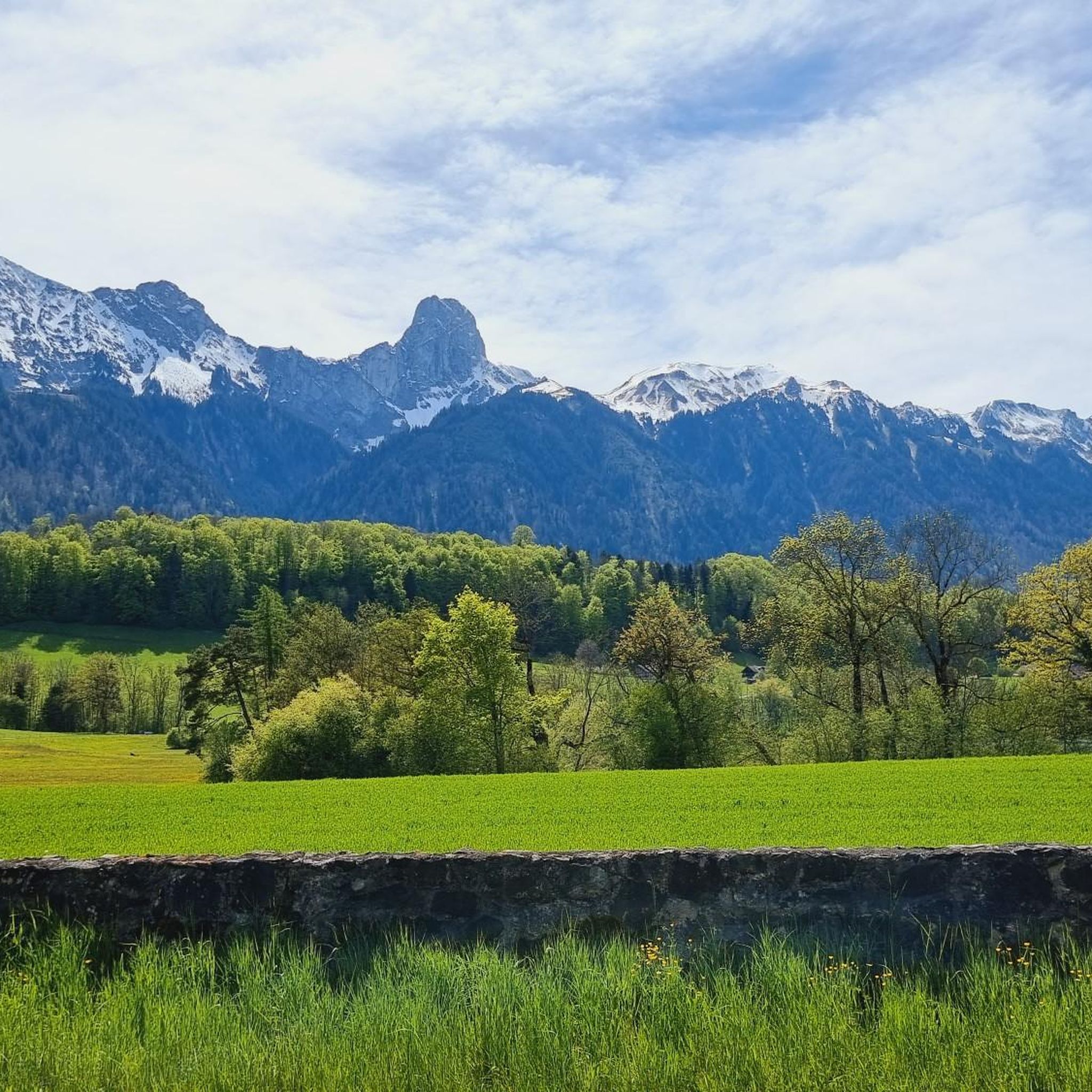
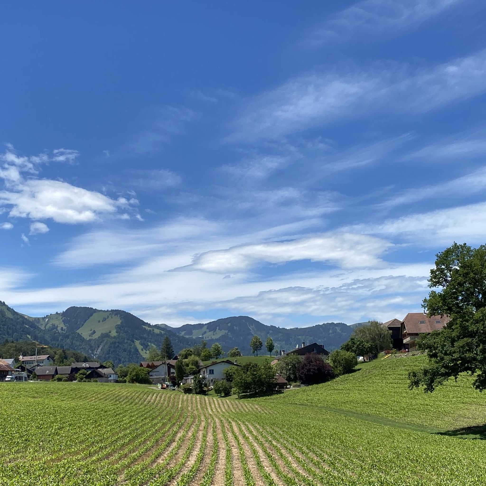
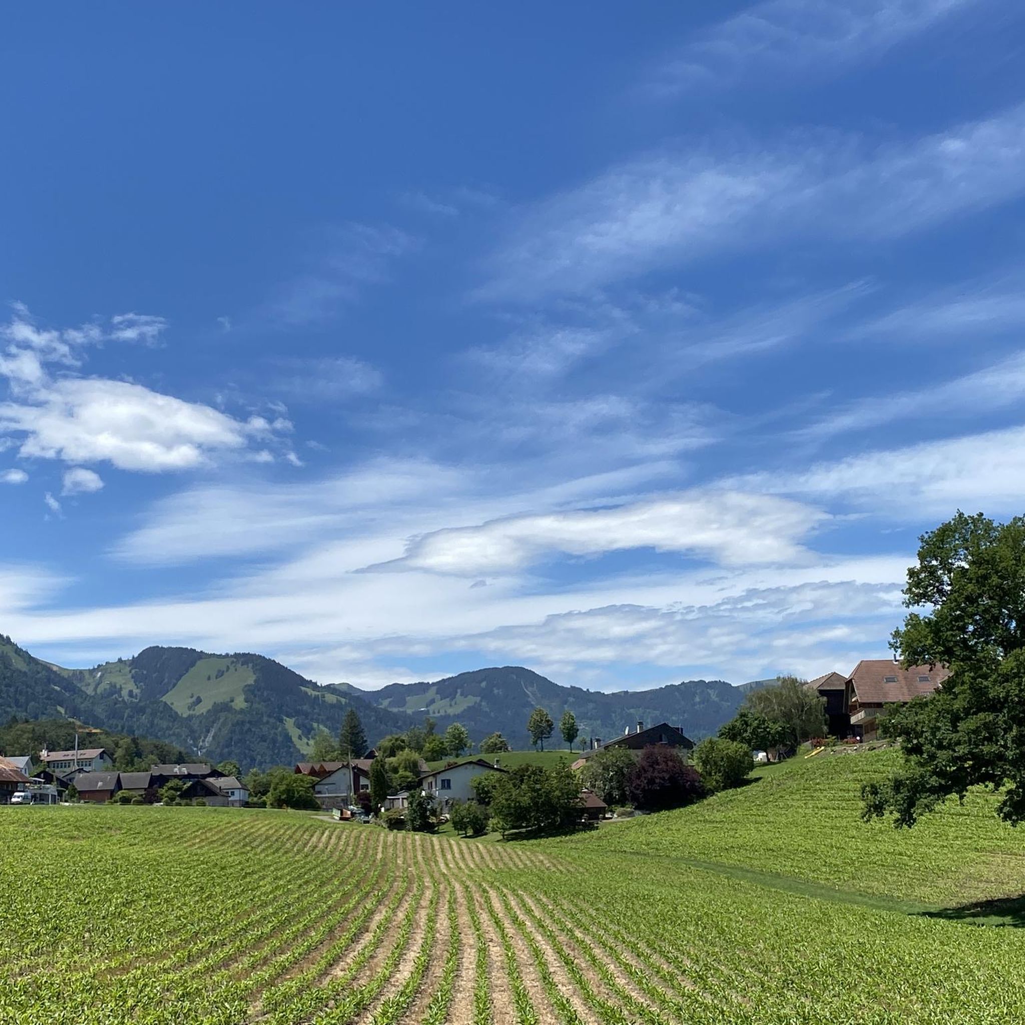
Tips from the Community

The water was not ice-cold as expected after the record summer. A few people were swimming. There are many small fish in the lake.
0
0

It's called Chatz u Muus (Cat and Mouse). That's because, from the Gürbe Valley, it looks as if a cat (Chatz) and a mouse (Muus) are sitting opposite each other. 🐁_🐈⬛
1
0
The panorama is magnificent. Despite the foothills of the Alps, you feel like you're on top of the world, especially above the sea of fog.
0
0

Somehow homey, honest, a bit more rustic than the other panoramic restaurants. I always enjoy coming here. If you're not sure what to order, you can never go wrong with the apricot cake.
0
0

Great ascent aid for snowshoe hikes🥰
1
0

🌊 Oberstockensee – A mountain lake straight out of a picture book 🏔️✨ Oberstockensee is idyllically situated at around 1,650 m altitude, nestled in the impressive mountain world of the Stockhorn. It is a true natural jewel and perfect for a relaxing break in the Alps. 🥾 Accessibility: Start from the Chrindi middle station 🚡 🌟 Highlights: Crystal-clear water – ideal for cooling off on hot days ❄️ Reflecting mountain scenery – perfect for photos 📸 Fishing allowed – a paradise for anglers 🎣
1
0
Karst rock is formed by the weathering and dissolution of limestone, dolomite or gypsum. Over thousands of years, water has formed impressive landscapes with spectacular rock formations. 🌊 Formation: Rainwater, which is slightly acidic, slowly erodes limestone and forms caves, sinkholes, gorges and bizarre rock formations. 📍 Well-known karst areas: Schrattenfluh (CH), Dolomites (IT), Karst region of Slovenia
0
0
🚡 Chrindi middle station - the gateway to adventure on the Stockhorn 🏔️✨ The Chrindi middle station is the perfect starting point for unforgettable experiences around the Stockhorn: 🌊 Hinterstockensee: Can be reached in just a few minutes - ideal for swimming, fishing or simply relaxing by the water. 🥾 Hiking paradise: Start varied hikes here with breathtaking views of the Simmental and the Bernese Alps. 🚠 Onward journey: Take the Stockhorn cable car to the summit station for a 360° panorama.
0
1
Frequently Asked Questions
How many mountaineering routes are available around Amsoldingersee?
There are over 9 challenging mountaineering routes around Amsoldingersee, all rated as difficult. These routes offer significant elevation gains and varied terrain, from forested paths to exposed mountain ridges.
What is the general difficulty level of mountaineering routes in this region?
All mountaineering routes around Amsoldingersee are classified as difficult. They typically involve substantial ascents and descents, requiring good physical condition and experience in alpine terrain. For example, the Stockhorn Viewing Platform loop from Erlenbach features over 1,500 meters of elevation gain.
Are there any circular mountaineering routes available?
Yes, several routes are circular, allowing you to return to your starting point. A popular option is the Stockhorn Viewing Platform – Oberstockensee loop from Stockhorn, which is about 9.9 km long and offers panoramic views.
What kind of views can I expect on these mountaineering routes?
The routes offer a blend of tranquil lakeside scenery and dramatic vistas of the nearby Bernese Oberland. You can expect views of major peaks like the Eiger, Mönch, and Jungfrau, especially from higher elevations such as the Stockhorn Viewing Platform. The Adlerhorst (1960 m) loop from Wimmis provides excellent vantage points.
Are the mountaineering trails around Amsoldingersee suitable for families?
Given that all mountaineering routes in this area are rated as difficult with significant elevation gains, they are generally not recommended for young children or families seeking easy walks. These trails are better suited for experienced mountaineers.
Can I bring my dog on the mountaineering routes?
While many trails in Switzerland are dog-friendly, the Amsoldingersee itself is a protected nature reserve with specific rules. For the mountaineering routes in the surrounding alpine foothills, it's generally possible to bring dogs, but always ensure they are kept on a leash, especially in nature protection zones or near livestock. Be prepared for challenging terrain that might not be suitable for all dogs.
What are some notable landmarks or attractions near the mountaineering routes?
While on the routes, you'll be close to the Stockhorn mountain, offering stunning views. The region also features historical sites like the 10th-century St. Mauritius and Verena Collegiate Church and the privately owned Amsoldingen Castle. The Amsoldingersee and Uebeschisee themselves are protected nature reserves, ideal for nature observation.
Is there public transport access to the starting points of these routes?
The Amsoldingersee area is accessible by public transport, with connections to nearby towns like Thun. Specific starting points for mountaineering routes, such as those near Erlenbach or Blumenstein, can often be reached by local bus services, though it's advisable to check schedules in advance for remote trailheads.
What is the best time of year for mountaineering around Amsoldingersee?
The best time for mountaineering in this region is typically from late spring to early autumn (May to October), when the trails are free of snow and weather conditions are more stable. Always check local weather forecasts and trail conditions before heading out, as alpine weather can change rapidly.
What do other mountaineers say about the routes in this area?
The mountaineering routes around Amsoldingersee are highly rated by the komoot community, with an average score of 4.8 stars from over 23 reviews. Mountaineers often praise the challenging ascents, the rewarding panoramic views, and the diverse landscapes encountered on trails like the Chrümmelwägen Tunnel – Möntschelespitz loop from Blumenstein.
Are there any routes that lead to a specific peak or high point?
Yes, many routes are designed to reach prominent peaks or viewpoints. For instance, the Möntschelespitz loop from Blumenstein takes you to the Möntschelespitz, offering expansive views of the surrounding alpine landscape.
Most popular routes around Amsoldingersee

Get inspired with the komoot mobile app


Explore more
Browse the best Mountain Hikes & Routes in other regions.
