The best walks and hikes around Cazis
4.4
(110)
629
hikers
61
hikes
Hiking around Cazis, Switzerland, offers diverse landscapes characterized by a dramatic interplay of mountains, deep gorges, and serene lakes. The region features the Viamala Gorge, carved by glacial ice and the Hinterrhein River, with towering rock faces up to 300 meters high. Terrain varies from lush valleys to rugged alpine environments, providing a wide array of hiking experiences. Numerous picturesque mountain lakes, such as Pascuminersee and Bischolsee, dot the landscape, often nestled in high mountain settings.
Best hiking trails around…
Last updated: July 20, 2026
4.9
(16)
59
hikers
13.6km
04:49
830m
830m
Moderate hike. Good fitness required. Easily-accessible paths. Suitable for all skill levels.
4.5
(8)
36
hikers
11.3km
03:50
600m
600m
Enjoy a moderate 7.0-mile (11.3 km) circular hike near Sarn, Switzerland, featuring mountain views, a charming inn, and a serene lake.

Sign up for free
4.9
(12)
57
hikers
18.7km
06:34
1,000m
1,000m
Hard hike. Very good fitness required. Mostly accessible paths. Sure-footedness required.
5.0
(2)
32
hikers
5.18km
01:19
20m
20m
Easy hike. Great for any fitness level. Easily-accessible paths. Suitable for all skill levels.
4.0
(4)
18
hikers
13.7km
04:52
760m
760m
Moderate hike. Good fitness required. Mostly accessible paths. Sure-footedness required.
Get access to more routes and recommendations from other explorers.
Sign up for free
Already have an account?
Our route recommendations are based on thousands of hikes, rides, and runs completed by other people on komoot.
Start today with a free account
Your next adventure awaits.
Login or Signup
Other adventures around Cazis

Tips from the Community

Beautiful view into the Safien Valley
0
0

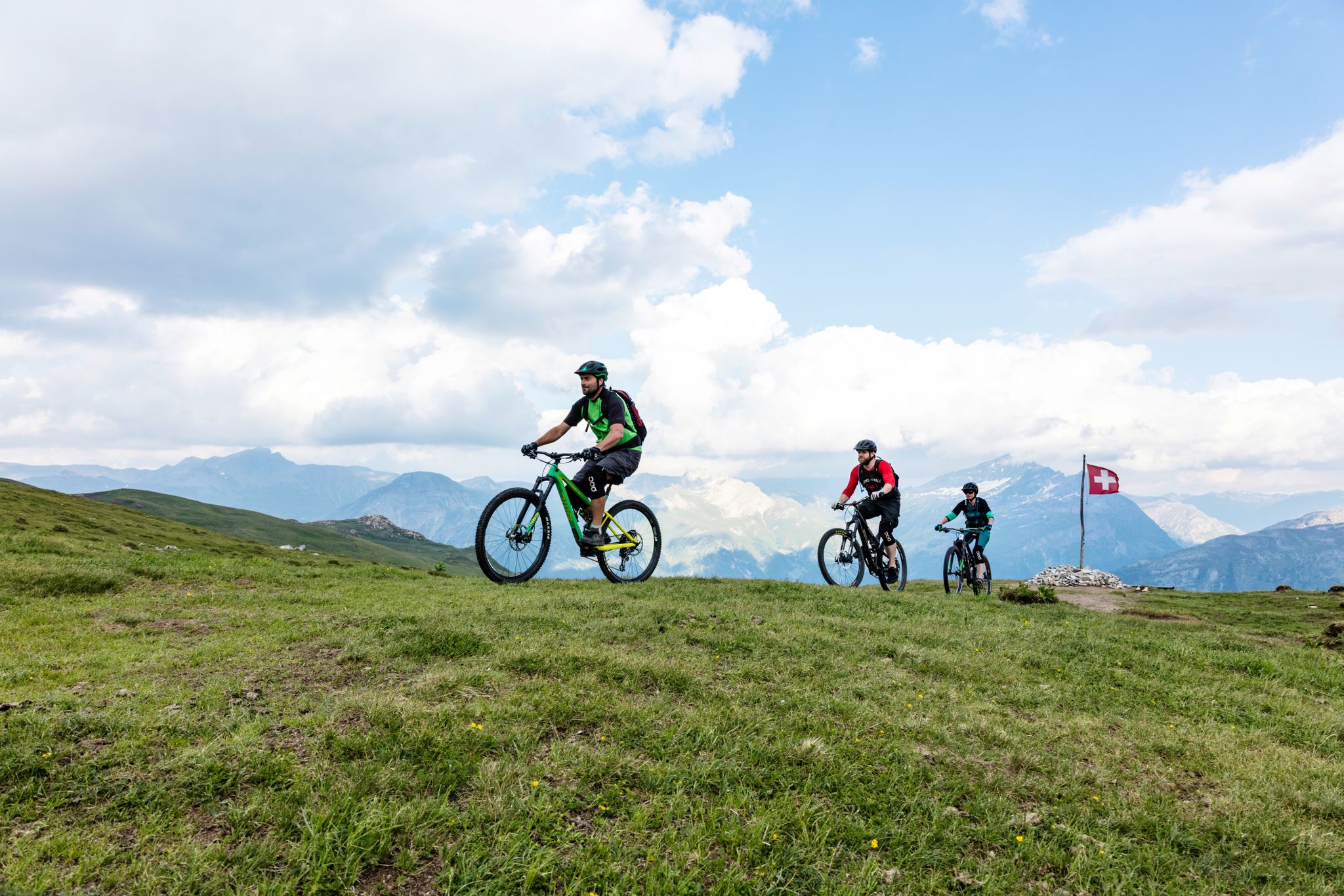
I recommend reaching the summit by mountain bike from the south. Access from the north is impassable by mountain bike, both downhill and especially uphill (the path is narrow and deep).
1
0

If you are going for a day of tobogganing on the Heinzenberg, you should not miss a short break here for something to eat and drink. It is a few meters up the mountain from the lift, but the detour is worth it. From here, you can take a leisurely sled ride back down.
0
0


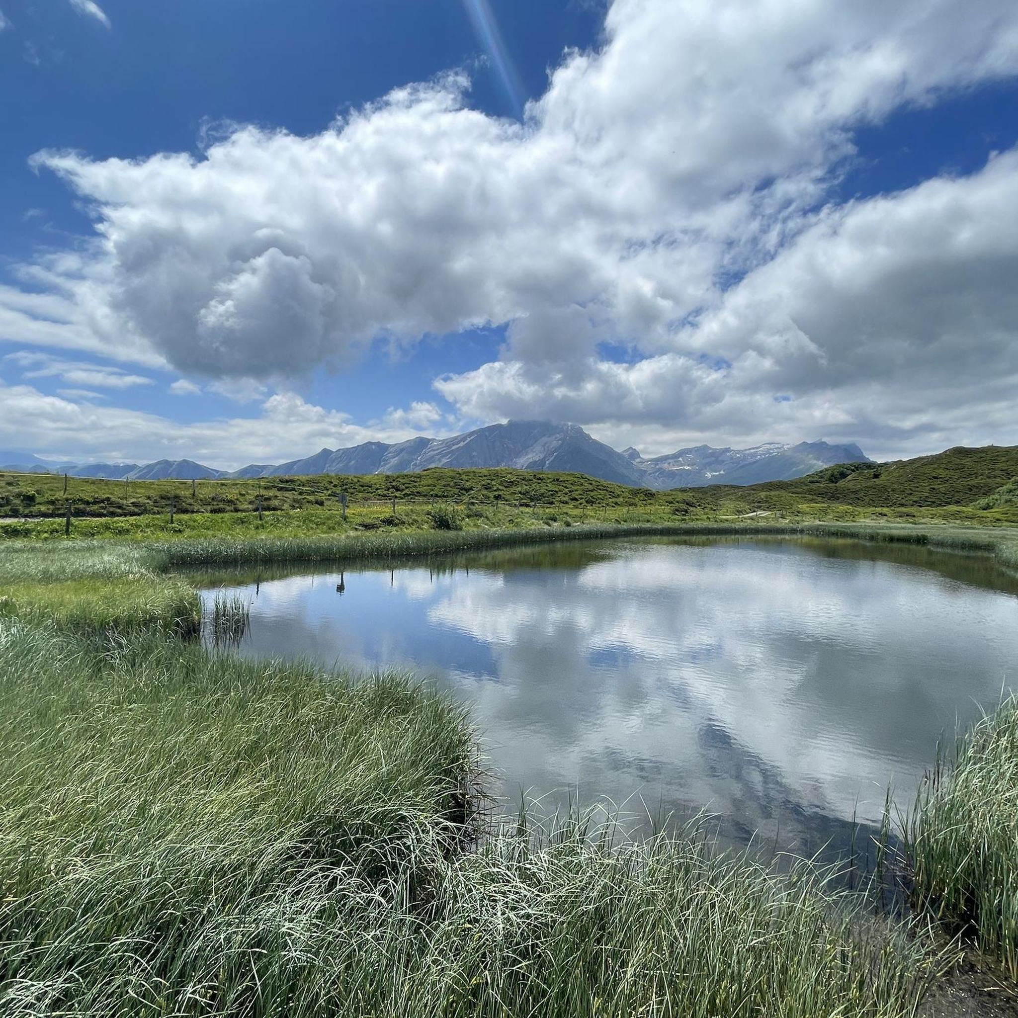
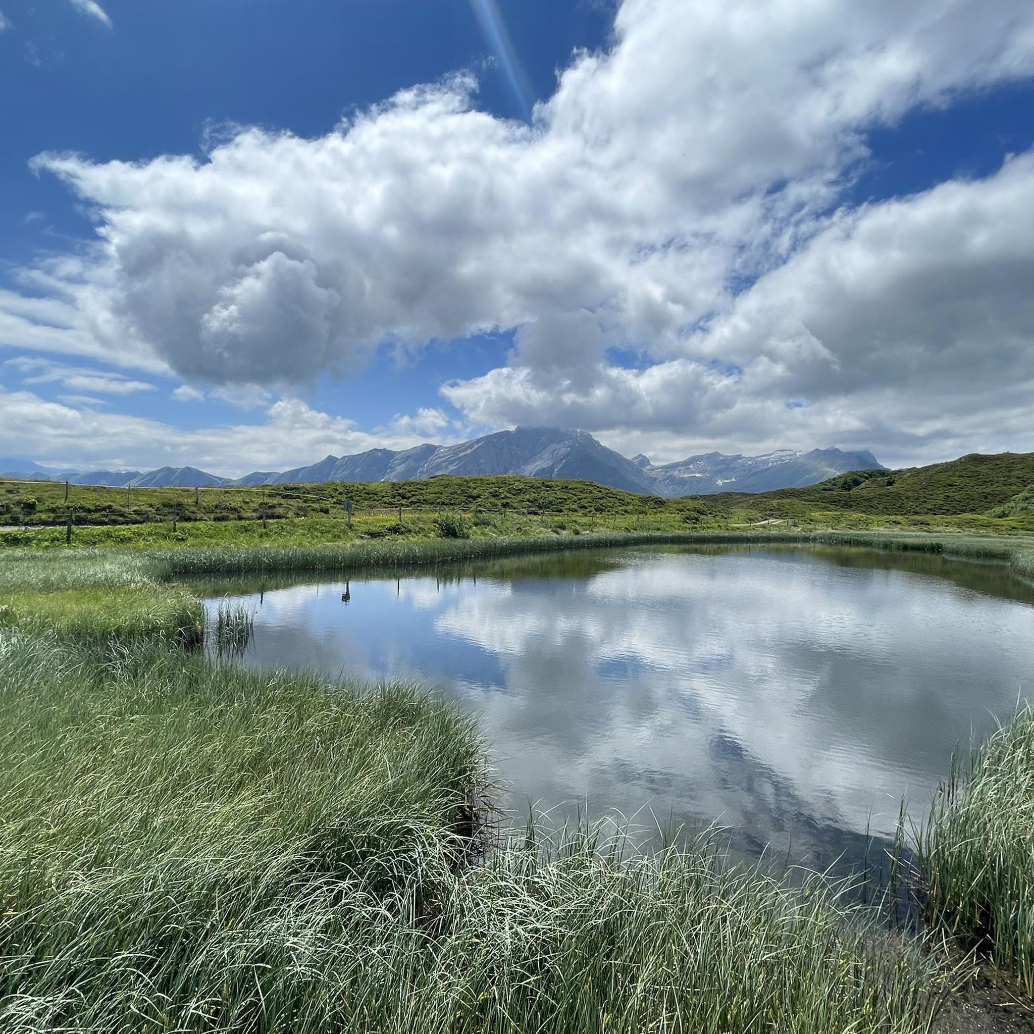
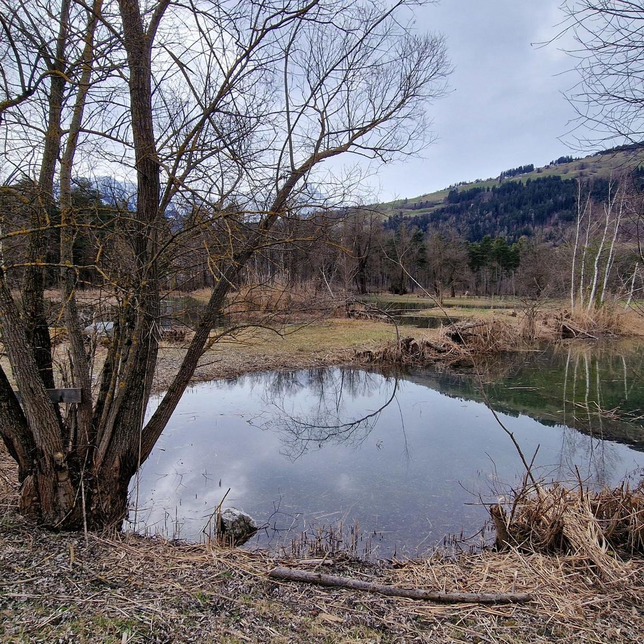
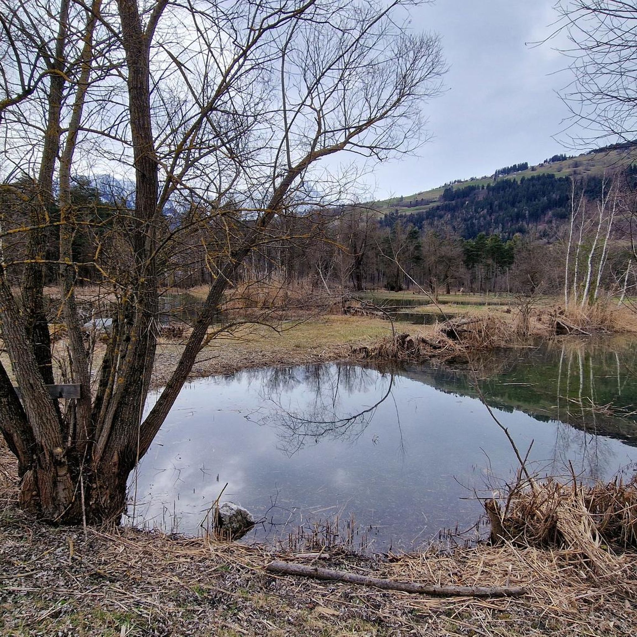
The small Bischolsee is right next to the Alpstrasse. The Pascuminersee is even more beautifully nestled. A place to linger.
6
1
The panoramic view of the Graubünden mountains is simply incomparably beautiful.
6
0

Small bathing lake with kiosk
0
0

Idyllic lake in Oberurmein with various seating areas and fire pits. Ideal for cooling off or taking a break on the shore. There is also a toilet.
1
0
Frequently Asked Questions
How many hiking trails are available around Cazis?
Cazis offers a wide variety of hiking experiences with over 60 routes. These range from easy walks to challenging alpine treks, catering to all fitness levels.
What kind of terrain can I expect on hikes in Cazis?
The terrain around Cazis is incredibly diverse, featuring a dramatic interplay of mountains, deep gorges like the Viamala, and serene lakes. You'll find everything from lush valleys to rugged alpine environments, with trails that can include steep ascents, rocky paths, and forest sections.
Are there any family-friendly hiking options in Cazis?
Yes, Cazis has numerous easy walks suitable for families. These trails often feature less elevation gain and shorter distances, allowing for an enjoyable experience with children. The region's picturesque lakes and accessible sections of the Viamala Gorge can be particularly engaging for families.
What are some notable natural features or landmarks to see while hiking in Cazis?
A major highlight is the impressive Viamala Gorge, where you can descend 359 steps to observe millennia-old whirlpool pots and towering rock faces. The region also boasts breathtaking mountain views from peaks like Piz Beverin, and numerous picturesque mountain lakes such as Pascuminersee and Bischolsee. You can also explore highlights like Lake Bischol or the Tenner Kreuz summit.
Are there any challenging hiking routes for experienced hikers?
Yes, for experienced hikers seeking a challenge, Cazis offers several difficult routes. An example is the Tguma Summit (2,163 m) – Alp Bischola loop from Sarn, which is a 13.7-mile trail leading through alpine terrain and past mountain pastures, often taking over 7 hours to complete.
Are there circular hiking routes available in Cazis?
Many trails in Cazis are designed as circular routes, allowing you to start and end at the same point. A popular option is the Tguma circular hike, an 8.5-mile trail offering views of the surrounding mountain landscape.
What is the best time of year to go hiking in Cazis?
The best time for hiking in Cazis is generally from late spring to early autumn (May to October), when the weather is mild, and trails are clear of snow. Summer offers lush landscapes and warmer temperatures, while autumn provides stunning fall foliage. Always check local weather conditions before heading out.
What do other hikers enjoy most about the trails in Cazis?
The hiking trails in Cazis are highly rated by the komoot community, with an average score of 4.4 stars from over 90 reviews. Hikers frequently praise the dramatic gorges, panoramic mountain views, and picturesque lakes, as well as the varied terrain that offers options for all ability levels.
Is public transport available to reach hiking trailheads in Cazis?
Cazis is part of Switzerland's excellent public transport network. Many trailheads are accessible by bus or train, making it convenient to reach starting points without a car. It's advisable to check local timetables for specific routes.
Are there any hikes that include a stop at a cafe or restaurant?
Yes, several hiking routes in the Cazis region pass by charming inns or mountain huts where you can enjoy refreshments and local cuisine. The Sarn Pleasure Trail, for instance, offers a pleasant journey through scenic areas that may include opportunities for a stop.
Can I bring my dog on the hiking trails in Cazis?
Many hiking trails in Cazis are dog-friendly, allowing you to explore the beautiful landscapes with your canine companion. However, it's always recommended to keep dogs on a leash, especially in nature reserves, near livestock, or in crowded areas, and to check specific trail regulations beforehand.
What are the typical elevation gains on hikes around Cazis?
Elevation gains vary significantly depending on the trail's difficulty. Easy walks might have up to 1,000 feet of elevation gain, moderate hikes can involve up to 3,000 feet, while hard treks often demand ascents over 3,000 feet, requiring very good fitness and sure-footedness.
Most popular attractions around Cazis

Get inspired with the komoot mobile app


Explore more
Browse the best Hikes in other regions.
