The best MTB trails around Clarkill
19
riders
1
ride
Mountain biking around Clarkill offers diverse terrain, characterized by a mix of mountain ascents and coastal paths. The region features varied landscapes, including areas with significant elevation changes and routes along shorelines. Riders can expect trails that traverse both open mountain areas and more sheltered sections, providing a range of experiences.
Best mountain bike trails around Clarkill
- The most popular mountain bike trail is Newry, Carnavaddy and Annaloughan Mountain loop, a 41.0 miles (65.9 km) trail that takes 5…
Last updated: October 14, 2026
65.9km
05:37
1,280m
1,280m
This difficult 41.0-mile mountain biking loop in the Ring of Gullion offers panoramic views and challenging terrain.
2
riders
40.3km
03:09
910m
910m
Hard mountain bike ride. Very good fitness required. Suitable for all skill levels.

8
riders
45.2km
03:00
190m
190m
Moderate mountain bike ride. Good fitness required. Suitable for all skill levels.
6
riders
63.4km
04:46
920m
920m
Hard mountain bike ride. Very good fitness required. Suitable for all skill levels.
3
riders
59.7km
03:29
540m
540m
Moderate mountain bike ride. Good fitness required. Suitable for all skill levels.
Our route recommendations are based on thousands of hikes, rides, and runs completed by other people on komoot.
Start today with a free account
Your next adventure awaits.

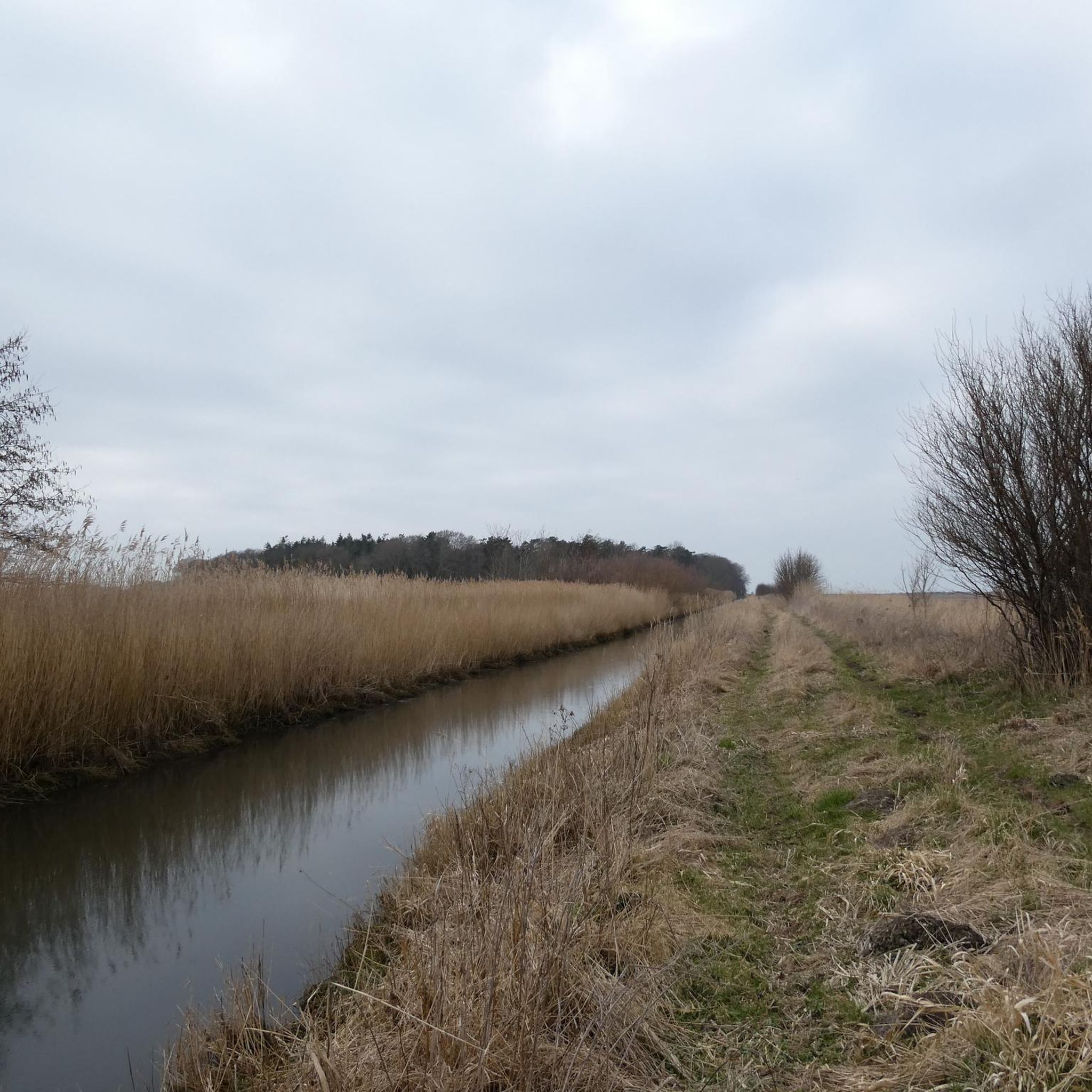
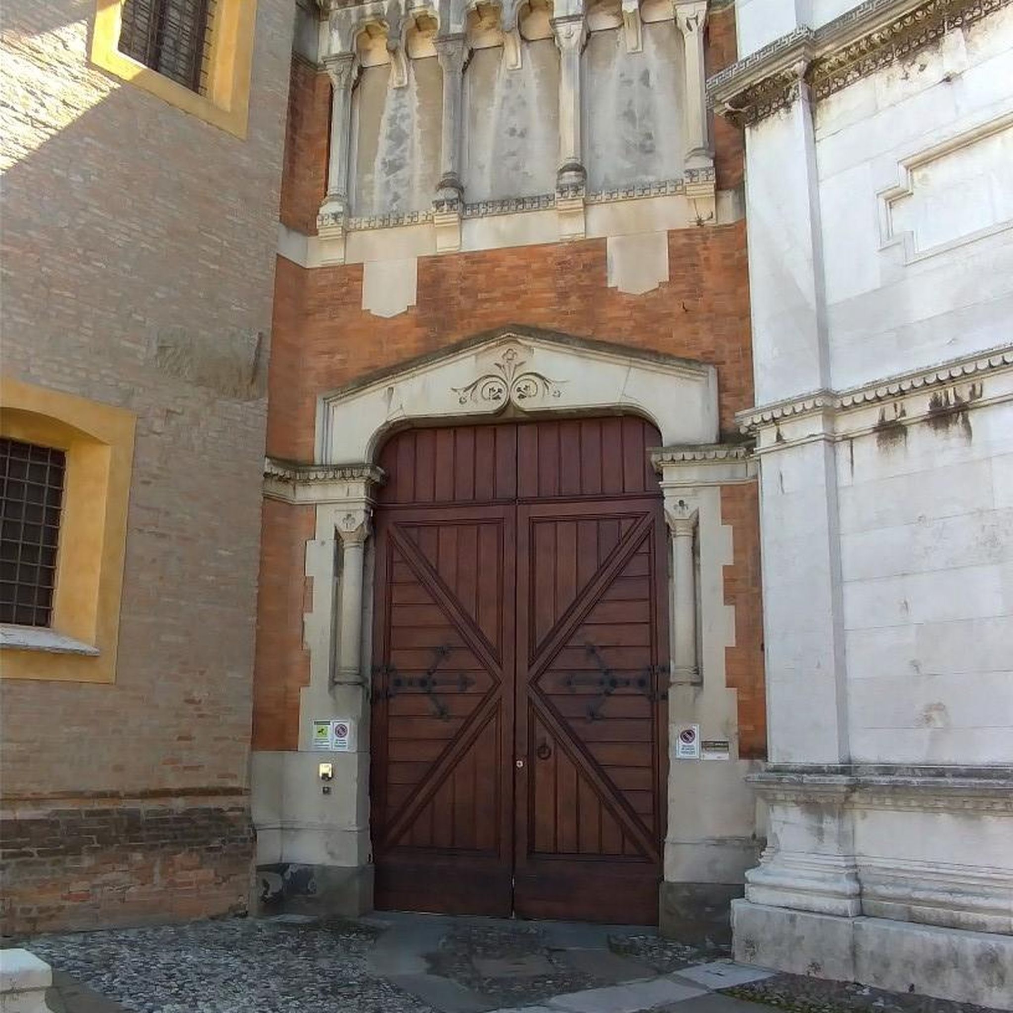
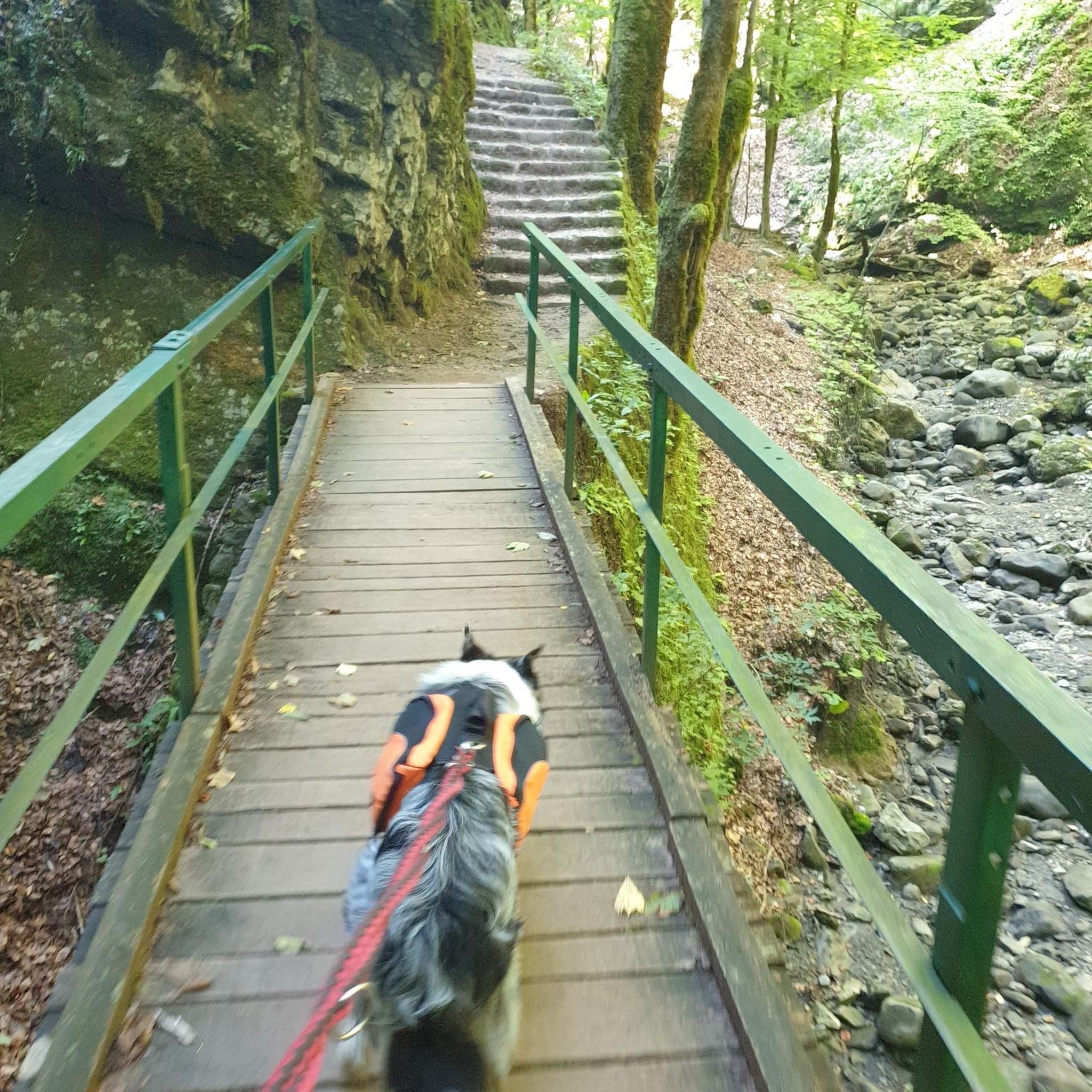
Tips from the Community

The Ring of Gullion is a circular route following off-road trails, quiet country lanes and forest tracks from Newry around the volcanic landscape of the Ring of Gullion AONB. This section follows some fun gravel trails.
0
0

Taaffes Castle (2026-08-07): https://taaffescastle.com/ TRIPADVISOR (Taaffes Castle Bar, 2026-08-07): https://www.tripadvisor.ie/Restaurant_Review-g315880-d2223151-Reviews-Taaffes_Castle_Bar-Carlingford_Cooley_Peninsula_County_Louth.html
1
0

This charming seaside town overlooks the Mourne Mountains, whose silhouette rises along the coast of Northern Ireland. Carlingford is very lively at weekends thanks to its many pubs and restaurants, which attract visitors from the north, and is famous for its oysters. The village has several historical sights, such as the small King John's Castle, with its romantic silhouette overlooking the sea, and Taaffe's Castle, a former 16th-century merchant's house located a little further from the quay.
6
0
The Tholsel is undoubtedly one of the most unique structures in the heart of Carlingford. This medieval city gate, originally built in the 15th century, is the only remaining gate from the original town wall and served for centuries as the ceremonial and administrative entrance to the town.
6
2
Once you leave the city of Newry behind, you cycle towards tranquility on An Bealach Glas, also known as the Carlingford Lough Greenway. This flat, smoothly asphalted path follows the banks of the canal and offers spectacular views of the river's mudflats along the way, where you can spot numerous wading birds and sometimes even a stray seal. The route is a true sensory experience: the salty sea air blows towards you while the mountains seem to get closer and closer. The absolute endpoint of this section is the historic Victoria Lock, an impressive lock complex from 1850 that marks the transition from the canal to the open waters of Carlingford Lough. It is the perfect place to get some fresh air and enjoy the maritime dynamics before continuing your journey to the coast.
6
0
Here you will be treated to a magnificent view of the cathedral. The imposing tower of Saint Patrick and Saint Colman rises majestically above the city, dominating the skyline with its neo-Gothic architecture. This cathedral, completed in 1829, is unique as it was the first Catholic cathedral built in Ireland after the relaxation of the penal laws. From this point, you can see the beautiful texture of the local granite from the Mourne Mountains, from which the church is built.
5
0
Taaffe's Castle is a fortified merchant's house dating from the early 16th century, built by the wealthy Taaffe family, who later became the Earls of Carlingford. Situated near the old harbour, the building originally served as a trading post on the ground floor with residential floors above. The architecture displays typical defensive features such as machicolations, narrow loopholes, spiral staircases, and multi-level garderobes. [curiousireland.ie], [castles.nl], [carlingfor...centre.com] The main structure is a four-storey rectangular tower, later extended with a 16th-century northern extension. Its location and construction clearly demonstrate Carlingford's importance as a thriving trading town during that period. After the 17th century, it fell into disuse, and eventually fell into disuse. Today, it forms part of a pub complex and remains a striking example of medieval urban defensive architecture in Carlingford.
6
1

Carlingford Castle, also known as King John’s Castle, is a striking 12th-century fortress overlooking the charming medieval town of Carlingford and its scenic harbour. Built by Hugh de Lacy to guard the strategic Lough, the castle has a commanding presence with its weathered stone walls and rugged silhouette against the water. Though partially in ruins, it still captures the atmosphere of Ireland’s Norman past, and its elevated position offers sweeping views of the surrounding mountains and coastline.
2
2
Frequently Asked Questions
What kind of mountain biking difficulty can I expect in Clarkill?
Mountain biking in Clarkill offers a range of experiences, from moderate to difficult. You'll find trails with significant elevation changes and mountainous terrain, as well as routes that combine coastal views with inland sections. For example, the Newry, Carnavaddy and Annaloughan Mountain loop is a difficult route with substantial climbing, while the Carlingford – The Tholsel, Carlingford loop from Newry offers a more moderate challenge.
Are there family-friendly mountain bike trails in Clarkill?
While the provided routes are generally moderate to difficult, the region research suggests that areas like Clarks Hills, South Carolina, offer trails suitable for beginners, such as 'Brown Wave' which has easy accessibility and minimal climbs. When planning a family outing in Clarkill, look for routes described as moderate with less elevation gain, or consider shorter sections of longer trails. Always check the specific trail details on komoot for the most up-to-date information on difficulty and terrain.
Can I find loop mountain bike trails around Clarkill?
Yes, several mountain bike trails in Clarkill are designed as loops. For instance, the Newry, Carnavaddy and Annaloughan Mountain loop is a challenging 41-mile route, and the Kilbroney Caravan Park – Warrenpoint Shore Road loop from Newry is another popular loop covering varied landscapes.
Where can I find parking for mountain bike trails near Clarkill?
While specific parking locations for Clarkill trails are not detailed, similar regions like Clark County, Wisconsin, often provide main trailheads with amenities. It's advisable to check the starting points of individual komoot tours for parking information, as many routes begin from accessible locations near towns or designated recreational areas.
What is the best time of year for mountain biking in Clarkill?
The best time for mountain biking in Clarkill generally depends on weather conditions. Spring and autumn often offer pleasant temperatures and vibrant scenery. However, the region's varied terrain, including coastal paths and mountain ascents, means conditions can change. Always check local weather forecasts before heading out.
Are Clarkill mountain bike trails open in winter?
Winter conditions can vary significantly. While some trails might remain accessible, others, especially those with higher elevations or exposed sections, could be affected by snow or ice. Regions like Clark County, Wisconsin, offer groomed singletrack for fat bikes in winter, suggesting that some areas might cater to winter riding. Always check local conditions and trail status before planning a winter ride in Clarkill.
What interesting sights or viewpoints can I find along the mountain bike trails in Clarkill?
Clarkill offers several interesting sights and viewpoints. You might encounter natural landmarks such as the Slieve Gullion Summit, which is a volcano, or the North Cairn of Slieve Gullion and Calliagh Beara's Lough. Other notable points of interest include Giant's Lair and Camlough Lake. These attractions can add a scenic dimension to your ride.
Are there any natural landmarks to see while mountain biking in Clarkill?
Yes, Clarkill is home to several natural landmarks. Riders can explore areas around the Slieve Gullion Summit and the North Cairn of Slieve Gullion and Calliagh Beara's Lough. You might also pass by Calliagh Beara Lough, offering picturesque natural scenery.
Are there any hidden gem mountain bike trails in Clarkill?
While 'hidden gems' are often discovered through local exploration, a less frequently mentioned but rewarding route is the The Tholsel, Carlingford – Carlingford loop from Newry. This moderate 39-mile trail offers a good mix of terrain and scenery, providing a different perspective of the region's mountain biking opportunities.
How many mountain bike trails are available in Clarkill?
There are at least 5 mountain bike trails detailed in this guide for the Clarkill region, offering a variety of distances and difficulties for riders to explore.
Are there amenities like cafes or restrooms available near the trails?
While specific cafes are not listed, regions known for mountain biking often have amenities. For example, the Levis/Trow Mound Recreational Area in Clark County, Wisconsin, provides water, flush restrooms, showers (seasonal), and even a warming chalet. It's recommended to check the start and end points of your chosen komoot tour for information on nearby facilities in Clarkill.
What should I wear for mountain biking in Clarkill?
Given Clarkill's varied terrain, including mountain ascents and coastal paths, layering is key. Wear moisture-wicking base layers, a breathable mid-layer, and a wind/water-resistant outer shell. Padded shorts, gloves, a helmet, and appropriate footwear are essential for comfort and safety. Always check the weather forecast before your ride to adjust your attire accordingly.
Most popular routes around Clarkill
Most popular attractions around Clarkill

Get inspired with the komoot mobile app


Explore more
Browse the best MTB trails in other regions.
