The best road cycling routes around Hockwold Cum Wilton
4.4
(28)
621
riders
68
rides
Road cycling routes around Hockwold Cum Wilton traverse a diverse landscape in southwest Norfolk, characterized by flat fenland in the west and chalk uplands to the north. The region features the Little Ouse River valley to the south, offering generally level paths alongside its banks. These varied terrains provide a mix of open stretches and gently rolling sections suitable for road cyclists.
Best road cycling routes around Hockwold Cum Wilton
- The most popular road cycling route is Suffolk Countryside Road…
Last updated: November 2, 2026
5.0
(1)
19
riders
63.9km
02:44
290m
290m
Moderate road ride. Good fitness required. Mostly well-paved surfaces and easy to ride.
13
riders
35.8km
01:50
200m
200m
Easy road ride. Mostly well-paved surfaces and easy to ride.

17
riders
131km
05:57
780m
780m
Hard road ride. Very good fitness required. Some segments of this route may be unpaved and difficult to ride.
5.0
(1)
9
riders
33.7km
01:22
90m
90m
Easy road ride. Mostly well-paved surfaces and easy to ride.
7
riders
68km
02:58
120m
120m
Moderate road ride. Good fitness required. Mostly well-paved surfaces and easy to ride.
Get access to more routes and recommendations from other explorers.
Already have an account?
Our route recommendations are based on thousands of hikes, rides, and runs completed by other people on komoot.
Start today with a free account
Your next adventure awaits.


Tips from the Community


Starting from the forestry commision car park, hed over the bridge and turn right. This will give you several options for forestry trails and if you head towards Lynford you can then pop on to the road for a short trip to Browns cafe.
0
0

The sign dubiously claims a max gradient of 15%. My Wahoo topped out at just over 6% which felt about right.
0
0
Not much visible from the road. Accessed by a gravel path.
0
0
Shout “Four!” and play through; watch out for sand traps, and they’re not too keen on cleats on the putting greens. 🧐
0
0
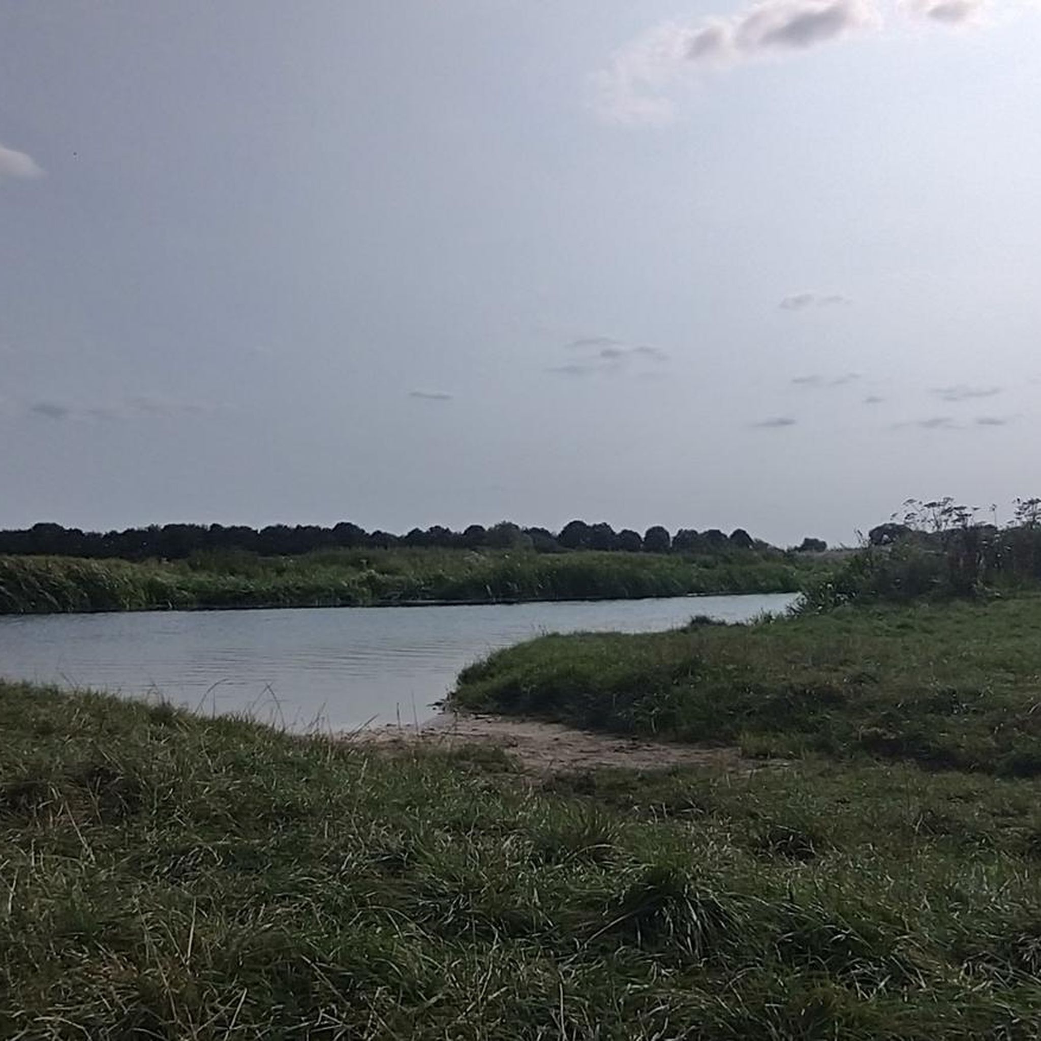
The Stanton Downham Bridge was built during the first world war as a rail bridge to transport timber and logging machines. It's been a road bridge since about 1922. The bridge crosses the Little Ouse River.
0
0


The remains of Thetford Priory a really nice and reflective space to end a tour... or start one. Thetford really is a gravel gateway with the Peddars and Icknield way passing nearby and the Kings Forest near Brandon. The Priory is smaller than the much larger establishment at Castle Acre but still majestic. The Priory of Our Lady of Thetford was one of the largest and most important monasteries in medieval East Anglia. Founded in the early 12th century, for 400 years it was the burial place of the Earls and Dukes of Norfolk, and enjoyed their powerful protection. It was because of this that Thetford was one of the last monasteries to be suppressed when it surrendered to Henry VIII's commissioners in 1540. The extensive surviving remains include the lower walls of the church and cloister, together with the impressive shell of the prior's lodging and an almost complete 14th century gatehouse. https://www.english-heritage.org.uk/visit/places/thetford-priory/history/
0
0
Frequently Asked Questions
What kind of terrain can I expect when road cycling around Hockwold Cum Wilton?
The region offers a diverse landscape for road cyclists. You'll find predominantly flat fenland in the west, ideal for less strenuous rides with expansive views. To the south, routes often follow the Little Ouse River valley, providing picturesque waterside paths. To the north, there are gently rolling chalk uplands, offering varied vistas and minor elevation changes.
Are there many road cycling routes available in Hockwold Cum Wilton?
Yes, there are numerous options for road cyclists. The komoot community has mapped over 75 road cycling routes around Hockwold Cum Wilton, catering to various skill levels from easy to difficult.
What are some easy road cycling routes suitable for beginners or families?
For an easier ride, consider The Red Lion – Hockwold Village Cross loop from Brandon. This 20.6-mile (33.1 km) trail leads through the Little Ouse River valley and is rated as easy, making it a great option for a relaxed outing.
What can I see along the road cycling routes in Hockwold Cum Wilton?
Many routes offer scenic views of the fenland and the Little Ouse River. You can also pass by historical sites like Thetford Warren Lodge, a 13th-century rabbit warrener's lodge. The area also features charming villages and diverse natural landscapes.
Are there any longer road cycling routes for experienced riders?
Absolutely. For a more challenging and longer ride, the Moulton Packhorse Bridge – Dalham Hall Kicker loop from Shippea Hill is a difficult 81.5-mile (131.1 km) route that offers a significant distance and elevation gain for experienced cyclists.
What is the best time of year to go road cycling in Hockwold Cum Wilton?
The region is generally pleasant for cycling during spring, summer, and early autumn. The flat fenland and river valley routes are accessible for much of the year, but checking local weather conditions is always advisable, especially for potential winds across the open fenland.
Are there any cafes or pubs along the road cycling routes for a break?
While specific cafes and pubs directly on every route are not detailed, the area around Hockwold Cum Wilton and nearby towns like Brandon offer various establishments. For example, BikeArt at High Lodge in Thetford Forest is a known cafe stop for cyclists in the wider region.
What do other road cyclists enjoy most about cycling in Hockwold Cum Wilton?
The komoot community highly rates the road cycling experience in Hockwold Cum Wilton, with an average score of 4.5 stars from over 20 reviews. Cyclists often praise the varied countryside views, the quiet country roads, and the mix of flat fenland and gently rolling sections that cater to different preferences.
Is parking available for cyclists near the starting points of routes?
While specific parking details for every route are not provided, starting points in towns like Brandon or Shippea Hill typically offer public parking options. It's recommended to check local parking availability for your chosen starting location.
Can I access road cycling routes in Hockwold Cum Wilton using public transport?
Public transport options to Hockwold Cum Wilton are limited. While some bus services connect the village to larger towns, bringing a bicycle on these services might be restricted. It's generally more convenient to travel by car to a suitable starting point, especially if you're bringing your own road bike.
Are there any moderate road cycling routes that combine different landscapes?
Yes, the Suffolk Countryside Road – Start of the Peddars Way loop from Brandon is a moderate 39.7-mile (63.9 km) route that offers varied countryside views, including open stretches and sections that hint at the nearby Peddars Way. Another moderate option is the Santon Downham Bridge – Howe's Run Pit MTB Trail loop from Brandon, which features a mix of open roads and forested sections.
What are the elevation profiles like on road cycling routes in this area?
The region is known for its predominantly flat terrain, especially in the fenland areas. However, routes can include gently rolling sections, particularly towards the chalk uplands. For example, a moderate route like the Suffolk Countryside Road – Start of the Peddars Way loop from Brandon has an elevation gain of around 290 meters over its 64 km, indicating a relatively gentle profile.
Most popular attractions around Hockwold Cum Wilton

Get inspired with the komoot mobile app


Explore more
Browse the best Road cycling routes in other regions.
