The best MTB trails around Carrickbroad
3.0
(2)
137
riders
7
rides
Mountain biking around Carrickbroad features diverse terrain, including the challenging features of Carrick Mountain and the scenic landscapes of the wider region. The area is characterized by varied trails, from blue difficulty singletracks to technical black difficulty routes, often incorporating elements like berms, jumps, and rock gardens. Notable natural features include Slieve Gullion, an extinct volcano reaching 1,880 feet (573 meters), and Ravensdale Forest, which offers additional trails and points of interest. This combination provides a range of mountain biking…
Last updated: October 28, 2026
44
riders
45.9km
04:41
1,420m
1,420m
Hard mountain bike ride. Very good fitness required.
3.0
(2)
32
riders
20.4km
01:47
400m
400m
Moderate mountain bike ride. Good fitness required.

40
riders
12.0km
01:11
300m
300m
Moderate mountain bike ride. Good fitness required.
6
riders
47.5km
04:10
1,160m
1,160m
Hard mountain bike ride. Very good fitness required.
9
riders
17.1km
01:34
470m
470m
Moderate mountain bike ride. Good fitness required.
Get access to more routes and recommendations from other explorers.
Already have an account?
Our route recommendations are based on thousands of hikes, rides, and runs completed by other people on komoot.
Start today with a free account
Your next adventure awaits.


Tips from the Community

Taaffes Castle (2026-08-07): https://taaffescastle.com/ TRIPADVISOR (Taaffes Castle Bar, 2026-08-07): https://www.tripadvisor.ie/Restaurant_Review-g315880-d2223151-Reviews-Taaffes_Castle_Bar-Carlingford_Cooley_Peninsula_County_Louth.html
1
0

This charming seaside town overlooks the Mourne Mountains, whose silhouette rises along the coast of Northern Ireland. Carlingford is very lively at weekends thanks to its many pubs and restaurants, which attract visitors from the north, and is famous for its oysters. The village has several historical sights, such as the small King John's Castle, with its romantic silhouette overlooking the sea, and Taaffe's Castle, a former 16th-century merchant's house located a little further from the quay.
6
0
The Tholsel is undoubtedly one of the most unique structures in the heart of Carlingford. This medieval city gate, originally built in the 15th century, is the only remaining gate from the original town wall and served for centuries as the ceremonial and administrative entrance to the town.
6
2

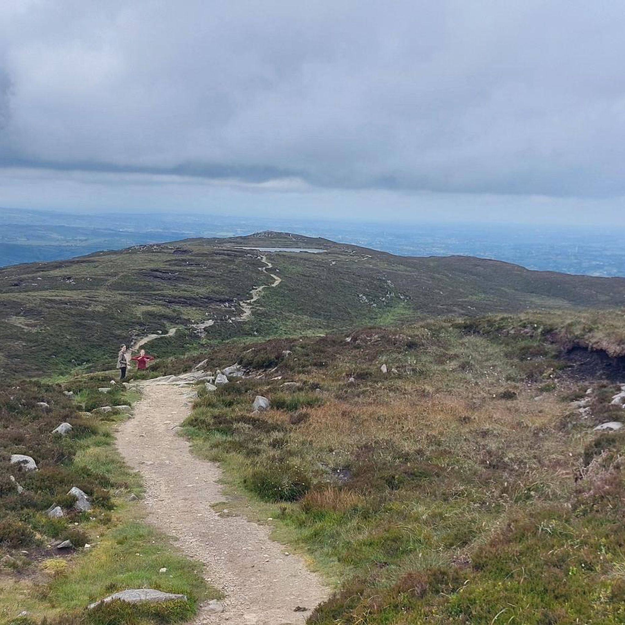
This is a spectacular viewpoint just to the north of Clermont Carn's true summit, which is somewhat less attractive due to its transmission site. The summit is also home to an ancient burial site. Looking north, you can see into Northern Ireland and across towards the Mourne Mountains.
1
0

Carnavaddy isn't quite an official mountain at 475 m (1,558 ft), but it's a prominent mountain and commands great views down the peninsula and out to sea. It can be walked from either side and is often combined with Clermont Carn to the north to make an excellent mountain day.
0
0

The highest bar in County Louth along the Táin Way. A traditional Irish pub that offers a cozy interior with a warming fire and excellent food. A favourite amongst locals and hikers!
0
0
Taaffe's Castle is a fortified merchant's house dating from the early 16th century, built by the wealthy Taaffe family, who later became the Earls of Carlingford. Situated near the old harbour, the building originally served as a trading post on the ground floor with residential floors above. The architecture displays typical defensive features such as machicolations, narrow loopholes, spiral staircases, and multi-level garderobes. [curiousireland.ie], [castles.nl], [carlingfor...centre.com] The main structure is a four-storey rectangular tower, later extended with a 16th-century northern extension. Its location and construction clearly demonstrate Carlingford's importance as a thriving trading town during that period. After the 17th century, it fell into disuse, and eventually fell into disuse. Today, it forms part of a pub complex and remains a striking example of medieval urban defensive architecture in Carlingford.
6
1
Frequently Asked Questions
How many mountain bike trails are available in Carrickbroad?
There are nearly 10 mountain bike routes documented on komoot for the Carrickbroad area. These trails offer a range of experiences, from moderate forest loops to challenging long-distance routes.
What types of terrain can I expect on mountain bike trails in Carrickbroad?
Mountain biking in Carrickbroad features diverse terrain, including the challenging features of Carrick Mountain and the scenic landscapes of the wider region. You'll find varied trails, from blue difficulty singletracks to technical black difficulty routes, often incorporating elements like berms, jumps, and rock gardens. The area also offers varied forest trails and open mountain slopes.
Are there any easy mountain bike trails for beginners in Carrickbroad?
Yes, there is at least one easy mountain bike trail in Carrickbroad. The region offers options for different ability levels, including routes suitable for beginners, alongside more moderate and difficult options.
Are there any family-friendly mountain bike trails in Carrickbroad?
While specific 'family-friendly' designations are not always explicit, the presence of easy and moderate trails, particularly those through Ravensdale Forest, suggests suitable options for families. Routes like the Ruins in Ravensdale Forest – Ravensdale Creek loop from Drumnasillagh (12.0 km, moderate) offer a good balance of length and challenge for a family outing.
What are some notable landmarks or natural features to see while mountain biking in Carrickbroad?
The Carrickbroad region is rich in natural beauty and historical sites. You can encounter the intriguing Druids' Circle in Ravensdale Forest, or explore the area around Slieve Gullion, an extinct volcano with panoramic views and the highest Passage Tomb in the British Isles. Other notable features include the North Cairn of Slieve Gullion and Calliagh Beara's Lough, and the Long Woman's Grave Memorial, which offers fantastic views.
Are there any circular mountain bike routes in Carrickbroad?
Yes, many of the mountain bike routes in Carrickbroad are designed as loops. For example, the Long Woman's Grave Memorial – Carlingford loop from The Lumpers is a challenging 46.1 km circular route, and the Ruins in Ravensdale Forest – Ravensdale Creek loop from The Lumpers offers a moderate 20.7 km loop through forest landscapes.
What do other mountain bikers enjoy most about mountain biking in Carrickbroad?
The mountain bike trails in Carrickbroad are highly rated by the komoot community, with an average score of 4.0 stars from 3 reviews. Riders often praise the diverse terrain, from challenging downhill features on Carrick Mountain to scenic forest paths, and the variety of options for different skill levels.
Can I find mountain bike trails that pass by historical sites or ruins in Carrickbroad?
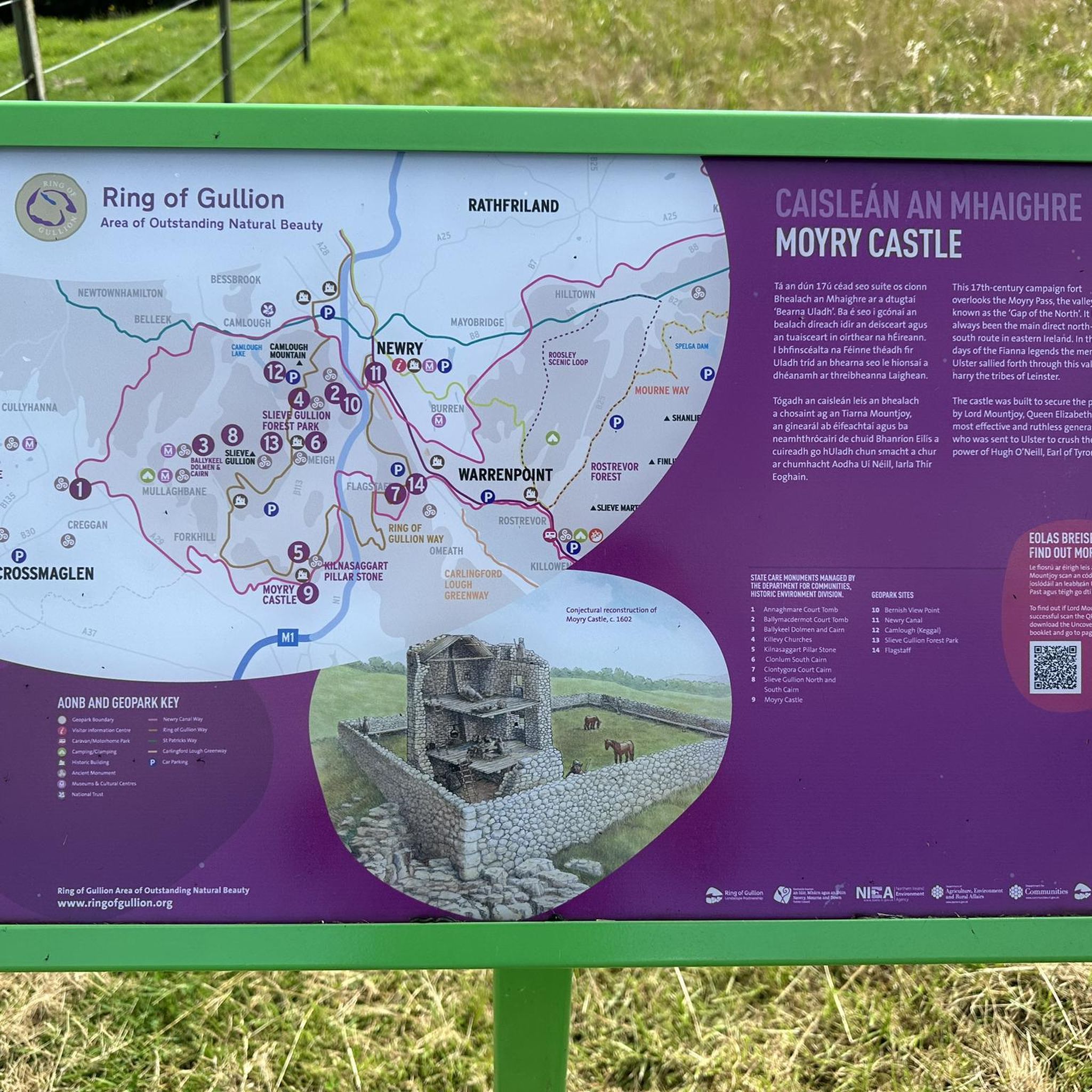
Yes, several routes in Carrickbroad incorporate historical elements. For instance, the Ruins in Ravensdale Forest – Ravensdale Creek loop from The Lumpers and the Ruins in Ravensdale Forest – Ravensdale Creek loop from Drumnasillagh both navigate through Ravensdale Forest, where you can find intriguing ruins and the Druids' Circle. Additionally, the wider region features sites like Castle Roche and Moyry Castle.
Are there any mountain bike routes that offer significant elevation gain and panoramic views?
Absolutely. The Carrickbroad area, particularly around Carrick Mountain and Slieve Gullion, is known for its elevation. The Long Woman's Grave Memorial – Carlingford loop from The Lumpers is a difficult route with over 1400 meters of elevation gain, offering panoramic views. Slieve Gullion itself, an extinct volcano, provides fantastic vistas from its summit.
What is the longest mountain bike trail available in Carrickbroad?
The longest mountain bike trail currently listed is The Tholsel, Carlingford – Carlingford loop from The Lumpers, which spans 47.3 km (29.4 miles) and typically takes around 4 hours and 10 minutes to complete. This is a difficult route with significant elevation.
Are there mountain bike trails in Carrickbroad that pass by lakes or water features?
Yes, the region has several beautiful lakes and water features. While not all mountain bike trails pass directly by them, the wider Carrickbroad area includes Camlough Lake, Calliagh Beara Lough, and Glasdrumman Lough. Some routes, like those through Ravensdale Forest, also follow creek beds.
Most popular routes around Carrickbroad
Most popular attractions around Carrickbroad

Get inspired with the komoot mobile app


Explore more
Browse the best MTB trails in other regions.
