The best MTB trails around Pantà de Sau
4.4
(271)
3,228
riders
287
rides
Mountain biking around Pantà de Sau offers diverse landscapes within the Guilleries-Savassona Natural Area in Catalonia, Spain. The region is characterized by the Pantà de Sau reservoir, formed on the Ter River, with its turquoise waters framed by steep cliffs and lush forests. The topography includes winding forest roads, challenging gravel tracks, and remote ridgelines, with the surrounding Guilleries massif providing elevated views. Vegetation consists primarily of holm oaks, mastic trees, and white pines, adapted to the Mediterranean climate.
Best…
Last updated: August 6, 2026
4.0
(2)
19
riders
44.5km
04:17
1,030m
1,030m
Hard mountain bike ride. Very good fitness required. Suitable for all skill levels.
16
riders
107km
10:48
3,040m
3,040m
Hard mountain bike ride. Very good fitness required. Advanced riding skills necessary.

Sign up for free
5.0
(1)
6
riders
65.8km
06:30
1,860m
1,860m
Hard mountain bike ride. Very good fitness required. Suitable for all skill levels.
7
riders
43.4km
03:09
830m
840m
Moderate mountain bike ride. Good fitness required. Advanced riding skills necessary.
5.0
(1)
4
riders
19.3km
01:26
380m
380m
Moderate mountain bike ride. Good fitness required. Suitable for all skill levels.
Get access to more routes and recommendations from other explorers.
Sign up for free
Already have an account?
Our route recommendations are based on thousands of hikes, rides, and runs completed by other people on komoot.
Start today with a free account
Your next adventure awaits.
Login or Signup

Tips from the Community

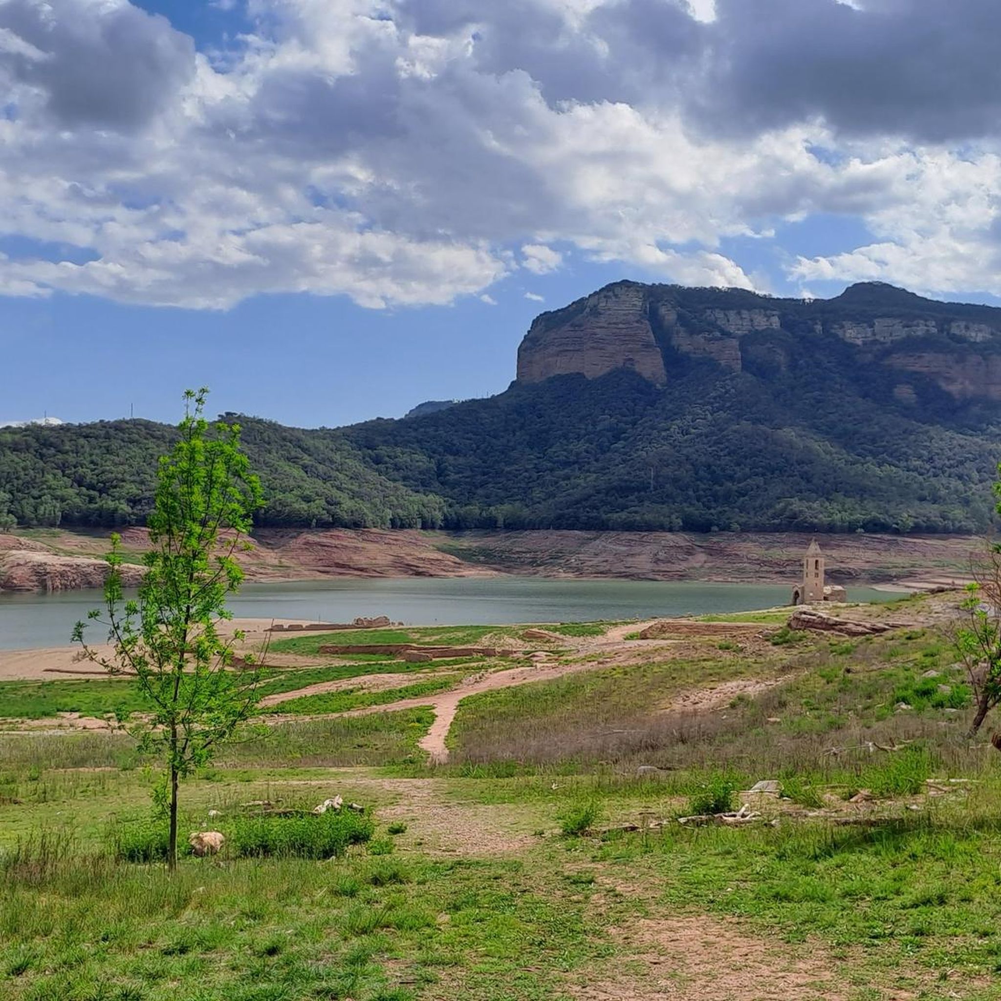
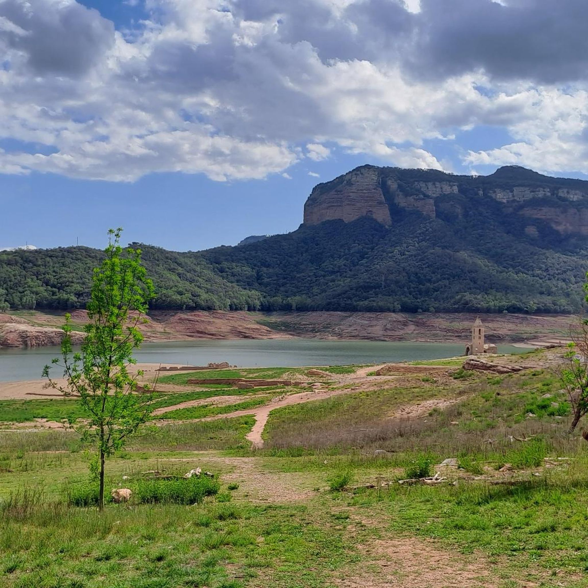
As I said, although the road is the same as always, the landscape is still the same. Today, with the swamp at 80%, some of the meanders had almost disappeared.
0
0

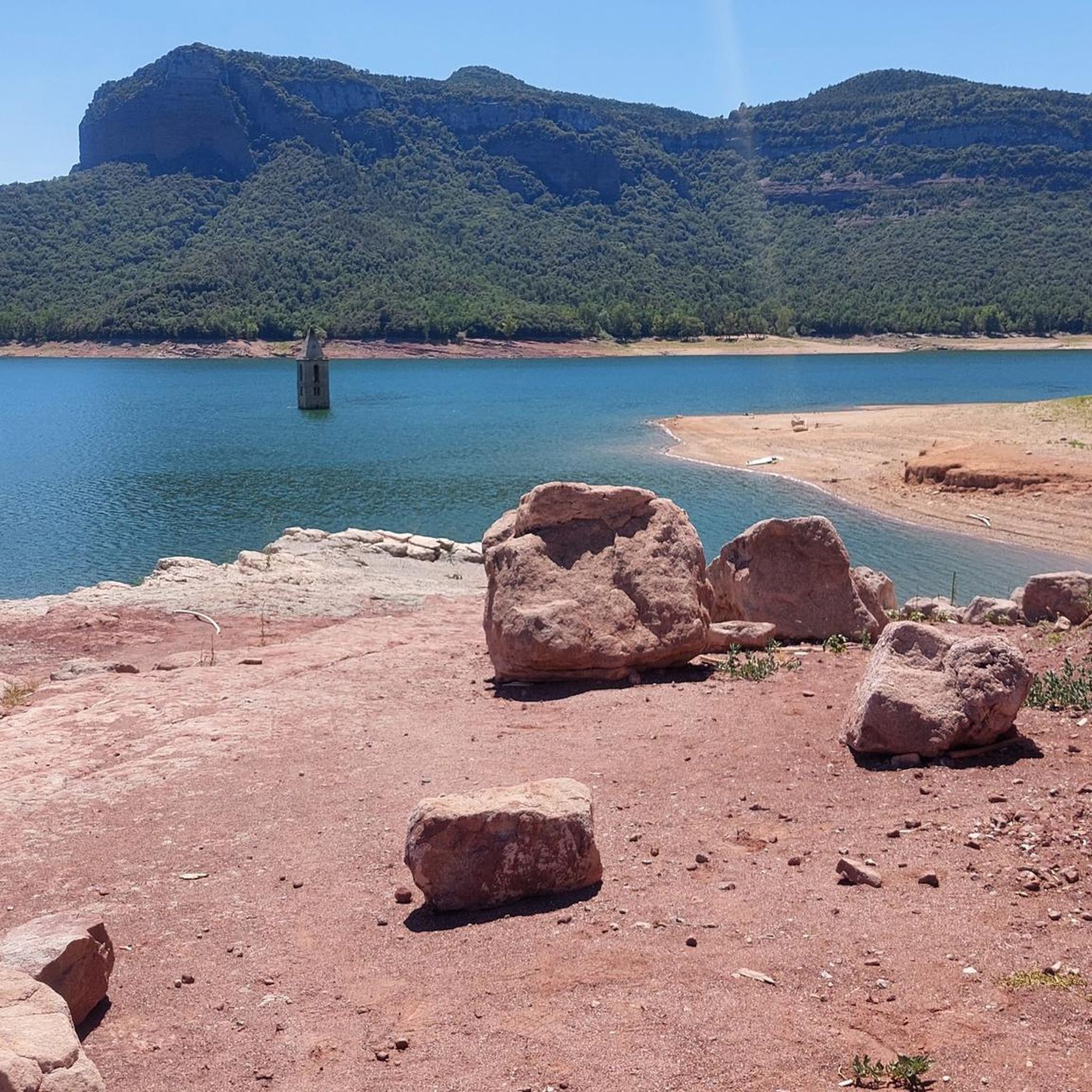
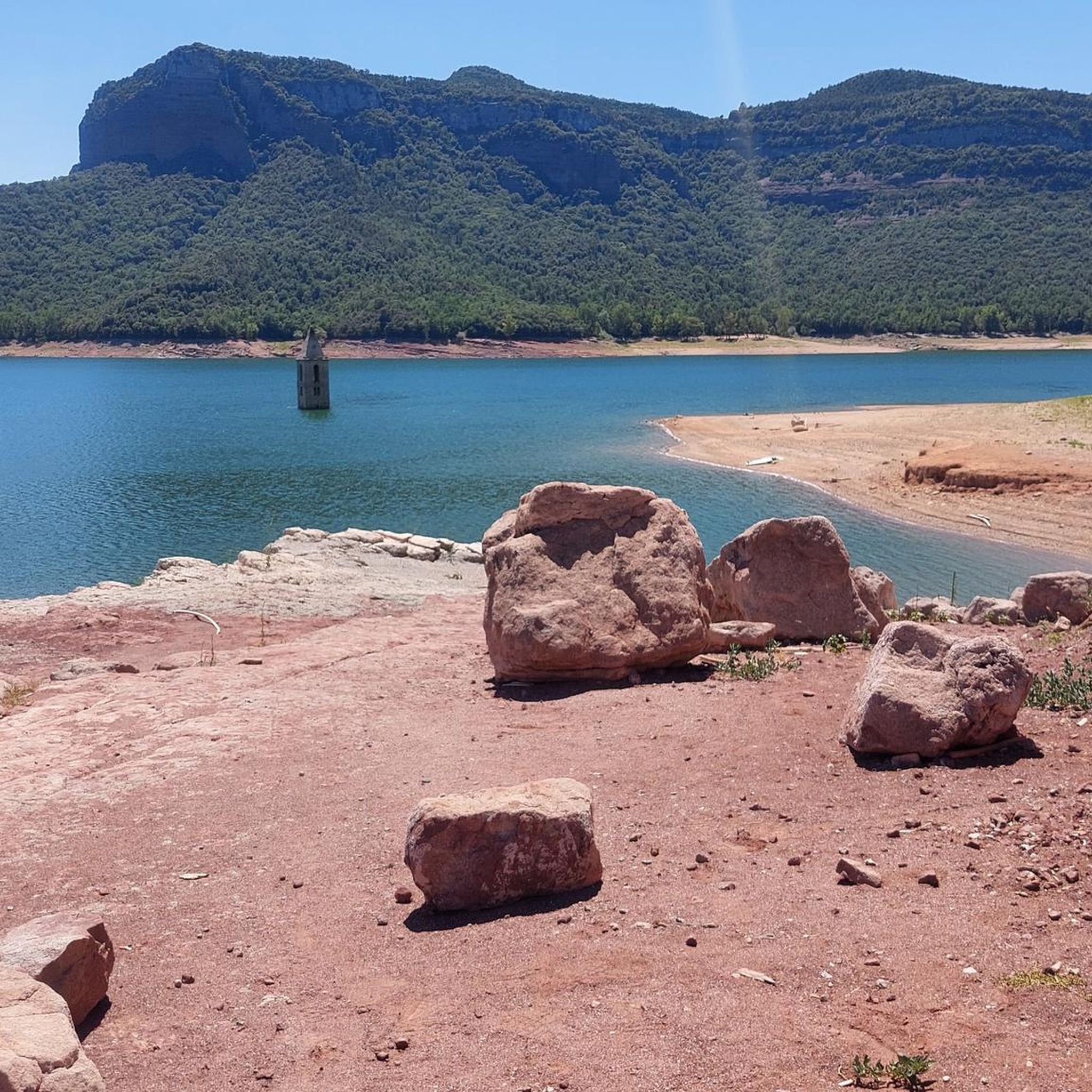
Sau Dam Tip for Bikepackers When riding near the Pantà de Sau (Sau Reservoir), don’t miss stopping at the Sau Dam viewpoint. It’s a spectacular spot to catch your breath and take in the sweeping views of the turquoise reservoir framed by steep cliffs and lush forests. 🌊 If water levels are low, you might even spot the famous submerged bell tower of the old village of Sant Romà de Sau poking out of the water — a haunting and iconic sight that adds a unique story to your ride. 🛑 Keep in mind the area around the dam can be a bit steep and technical on gravel roads, so take it easy if you’re loaded up. 💡 Pro tip: Early morning or late afternoon light here is magical for photos and gives you cooler temperatures for climbing or descending.
1
0
Bikepacking Recommendation: Ruta del Ter – Remote Trails Around Susqueda Reservoir For adventure cyclists craving solitude and raw natural beauty, the section of the Ruta del Ter near the Susqueda Reservoir delivers an unforgettable bikepacking experience. 💧 Tucked deep in the Les Guilleries range, the Pantà de Susqueda area features steep, winding forest roads, rough gravel tracks, and incredible views over the turquoise water below — all set beneath dramatic cliffs and remote ridgelines. 🛤️ The route snakes along ancient service roads and forest tracks used to access the dam and nearby hydro infrastructure. You’ll rarely see a car — maybe the odd 4x4 — and it often feels like you have the whole valley to yourself.
0
0

The Cabins... a new way to enjoy nature 🏞️
1
0
Viladrau... with its more than 1,000 renowned fountains of unparalleled purity. 💧😋😋😋🏞️
1
0
Although there is a viewpoint or the reservoir before it, from here you can see the height of the water in the reservoir very well. Today it is not 100% but it is not far off. Will we see the fullness before summer? I hope that at least it will remain that way until the next rainy season!
0
0
Path that borders the entire Susqueda reservoir, from a few km after the dam and ends at the Sau dam. It is part of the Ter greenway, it is a very wild and virgin section, since the circulation of motor vehicles is prohibited. Depending on the weather and the season, the path changes completely. The first time I did it, I was grateful for the three streams that carried water, today I had to cross more than 10, not counting the numerous puddles that flooded the entire path. I recommend doing it with a mountain bike or gravel, not very suitable for road bikes, some sections are very rocky, others not.
1
0

This area does not have good telephone coverage, it is advisable to take the route without an internet connection or cycle computer. If you have any problems in the area, please contact Busquets de Munt. We will help you.
1
0
Frequently Asked Questions
How many mountain bike trails are available around Pantà de Sau?
There are over 280 mountain bike routes in the Pantà de Sau area, offering a wide range of options for different skill levels and preferences.
What is the general difficulty level of mountain bike trails in Pantà de Sau?
The trails around Pantà de Sau cater to various skill levels, from moderate to very hard, requiring good to very good fitness. While there are 40 easy routes, the majority of the 286 available tours are either moderate (139) or difficult (107).
Are there easy mountain bike trails suitable for beginners in Pantà de Sau?
Yes, there are 40 easy mountain bike routes in the area. For a moderate option that's still accessible, consider the Sau Dam – Sau Reservoir loop from Mas la Riba, which is 19.3 km long with 380 m of elevation gain.
Are there challenging mountain bike routes for experienced riders in Pantà de Sau?
Absolutely. The region offers 107 difficult mountain bike routes. A popular challenging option is the Sau Dam – Susqueda Reservoir loop from Parking 1, a 44.5 km trail with over 1,000 m of elevation gain, offering extensive loops around both reservoirs.
What do other mountain bikers say about the trails in Pantà de Sau?
The mountain bike trails in Pantà de Sau are highly rated by the komoot community, with an average score of 4.4 stars from over 290 reviews. More than 4,000 mountain bikers have explored the varied terrain, often praising the diverse landscapes, stunning reservoir views, and challenging sections through forests and along ridgelines.
Are there any circular mountain bike routes around Pantà de Sau?
Yes, many routes in the area are circular. For example, the Sau Dam – Sau Reservoir loop from Sant Romà de Sau is a moderate 43.4 km route that circles the reservoir, offering scenic views and varied terrain.
What interesting landmarks or attractions can I see along the mountain bike trails?
The Pantà de Sau area is rich in natural and historical attractions. You can encounter the iconic Church of Sant Romà de Sau (Submerged Bell Tower), which becomes visible when water levels are low. Other notable sights include the Monastery of Sant Pere de Casserres, perched on a peninsula, and various viewpoints offering spectacular panoramas of the reservoir and the Cingles de Tavertet, such as the View of the Cingles de Tavertet from Sau Reservoir.
Is Pantà de Sau suitable for family-friendly mountain biking?
While many trails are moderate to difficult, there are 40 easy routes that could be suitable for families, depending on their experience and the children's age. It's best to check the specific route details for elevation and technical sections to ensure it matches your family's capabilities.
What is the best time of year for mountain biking in Pantà de Sau?
The Mediterranean climate means mountain biking is enjoyable for much of the year. Spring and autumn generally offer the most pleasant temperatures and lush scenery. Summers can be hot, but early mornings or late afternoons are still viable. Winters are milder, though some higher or more exposed sections might be cooler.
Are there places to eat or drink near the mountain bike trails?
Yes, the Pantà de Sau area provides facilities such as cafeterias and restaurants, particularly around Vilanova de Sau and other nearby villages. These spots offer opportunities to refuel and relax after your ride.
Is public transport available to access mountain bike trails in Pantà de Sau?
While the region is somewhat remote, public transport options to the general area exist, though direct access to specific trailheads might be limited. It's advisable to research local bus services to towns like Vilanova de Sau or Vic, and then plan for a short transfer or ride to your starting point.
Where can I park my car when mountain biking in Pantà de Sau?
Parking facilities are available in the Pantà de Sau area, often near popular trailheads and attractions. For instance, the Sau Dam – Susqueda Reservoir loop starts from a designated parking area, and other routes may have similar provisions in villages like Vilanova de Sau.
Most popular routes around Pantà de Sau
Most popular attractions around Pantà de Sau

Get inspired with the komoot mobile app


Explore more
Browse the best MTB trails in other regions.
