The best MTB trails around Embalse del Argós
4.5
(33)
541
riders
25
rides
Mountain biking around Embalse del Argós features a diverse landscape centered around the reservoir, offering a mix of greenways and forest paths. The region is characterized by its rolling hills, agricultural areas, and the presence of the Vía Verde del Noroeste, a popular route for cyclists. Terrain varies from well-maintained greenway sections to more challenging trails through wooded areas and open countryside.
Best mountain bike trails around Embalse del Argós
- The most popular mountain bike trail is Vía Verde del…
Last updated: October 22, 2026
4.0
(3)
10
riders
42.8km
03:20
460m
460m
Moderate mountain bike ride. Good fitness required.
5
riders
45.3km
02:56
480m
470m
Moderate mountain bike ride. Good fitness required.

35
riders
36.1km
03:15
640m
640m
Moderate mountain bike ride. Good fitness required.
23
riders
24.6km
01:48
240m
240m
Easy mountain bike ride.
7
riders
61.0km
05:02
950m
950m
Hard mountain bike ride. Very good fitness required. Advanced riding skills necessary. Some portions of the route may require you to push your bike.
Get access to more routes and recommendations from other explorers.
Already have an account?
Our route recommendations are based on thousands of hikes, rides, and runs completed by other people on komoot.
Start today with a free account
Your next adventure awaits.


Tips from the Community

They are easy routes, without any technical complications.
0
0


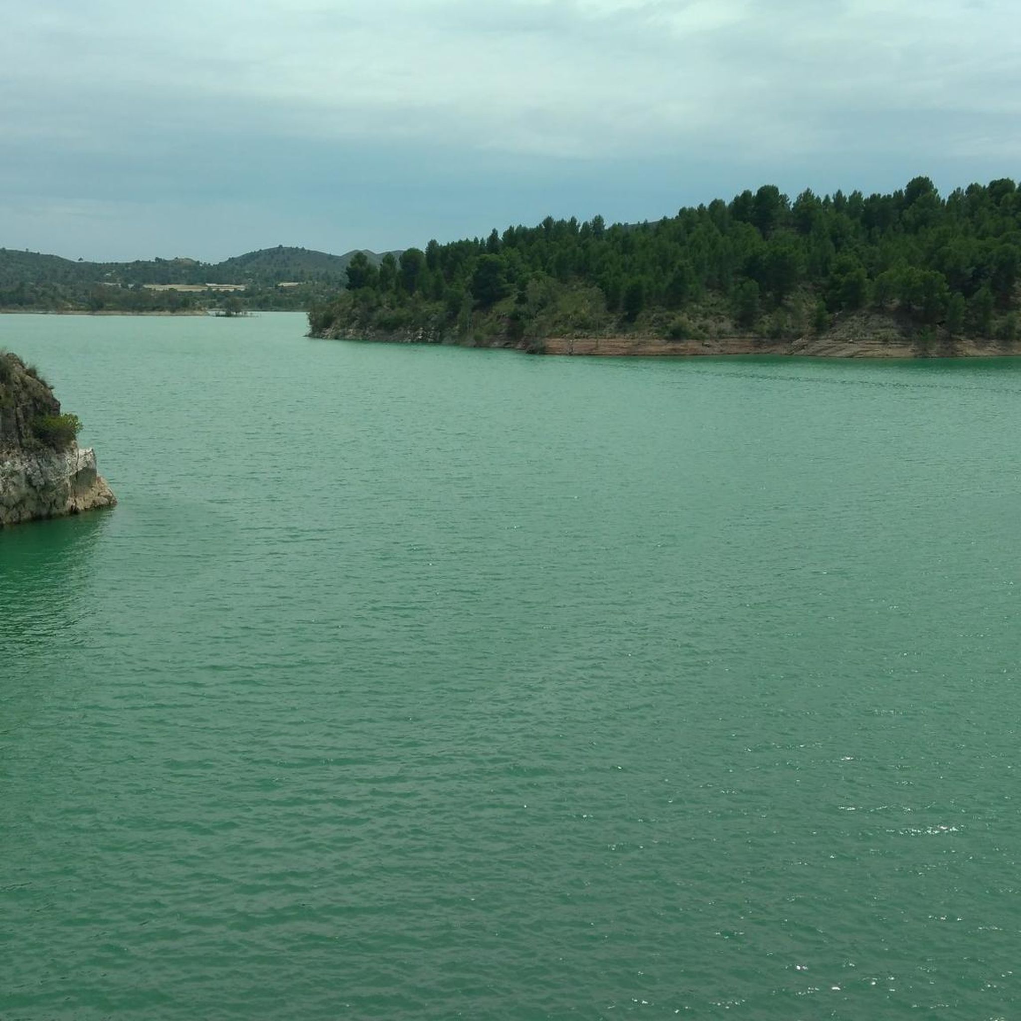
If you select this highlight for a bike route, Komoot will take you down a road with no access allowed, However, there is a track to the right that gives a good view of the reservoir. For the bike route there is another Highlight that takes you down a proper signposted road to the Dam. Both are extremely quiet and worth a look.
0
0

The entire route following the river is spectacular, from Salmeron to Cenajo there are thirty thousand places to take a postcard.
1
0

The crystal clear waters of the Segura River are home to many species of fish such as barbel, rainbow trout, carp and boga. If you love fishing in remote places, this is your perfect corner.
2
0

Excellent ride in glorious surroundings not too testing so reasonable standard of fitness required
2
0
The old railway station has been recovered as a restaurant. It is the ideal place to make a stop on the road.
0
0
Frequently Asked Questions
How many mountain bike trails are available around Embalse del Argós?
There are over 25 mountain bike trails around Embalse del Argós listed on komoot, offering a diverse range of experiences for different skill levels.
Are there mountain bike trails suitable for beginners in Embalse del Argós?
Yes, Embalse del Argós offers several easy mountain bike trails. For a gentle introduction, consider the Greenway of the Northwest – Vía Verde del Noroeste loop from Cehegín, which is 15.6 miles (25.1 km) long and follows a well-maintained greenway.
What options are there for experienced mountain bikers seeking a challenge?
Experienced mountain bikers will find plenty of challenging routes. For example, the Coto Real Forest Refuge – Greenway of the Northwest loop from Cehegín is a difficult 44.0 miles (70.9 km) trail with significant elevation gain, offering a demanding ride through varied terrain.
Are there family-friendly mountain bike trails around Embalse del Argós?
The Vía Verde del Noroeste, which runs through the region, provides excellent family-friendly sections. These greenways are generally flat and well-maintained, making them suitable for riders of all ages and skill levels. Look for routes designated as 'easy' for the most suitable options.
What is the best time of year for mountain biking in Embalse del Argós?
The spring and autumn months (March to May and September to November) are generally ideal for mountain biking in Embalse del Argós. The weather is typically mild and pleasant, avoiding the intense heat of summer and the cooler, potentially wetter conditions of winter.
Are there any loop mountain bike trails in the area?
Many of the mountain bike routes around Embalse del Argós are designed as loops, allowing you to start and finish at the same point. An example is the Burete Shelter – Coto Real Forest Refuge loop from Cehegín, a challenging 23.9 miles (38.5 km) route.
Where can I find parking for mountain bike trails near Embalse del Argós?
Parking is generally available in the towns and villages surrounding Embalse del Argós, such as Cehegín or Calasparra, which serve as common starting points for many trails. Specific parking details can often be found on individual route pages on komoot.
What do other mountain bikers say about the trails in Embalse del Argós?
The mountain bike trails in Embalse del Argós are highly regarded by the komoot community, with an average rating of 4.7 stars from over 20 reviews. Riders often praise the varied terrain, the scenic greenways, and the well-maintained paths that cater to different skill levels.
What is the typical length and duration of mountain bike routes in Embalse del Argós?
Route lengths vary significantly, from shorter rides of around 15 miles (25 km) taking a couple of hours, to longer, more challenging routes exceeding 37 miles (60 km) that can take 5 hours or more to complete. For instance, the Calasparra – Salmerón loop from Calasparra is 37.9 miles (61.0 km) and typically takes about 5 hours.
Is mountain biking possible in Embalse del Argós during winter?
While possible, winter mountain biking in Embalse del Argós can be cooler and potentially wetter. It's advisable to check local weather forecasts and trail conditions before heading out. The greenway sections are generally more resilient to adverse weather than unpaved forest paths.
Are there any viewpoints or scenic spots along the trails?
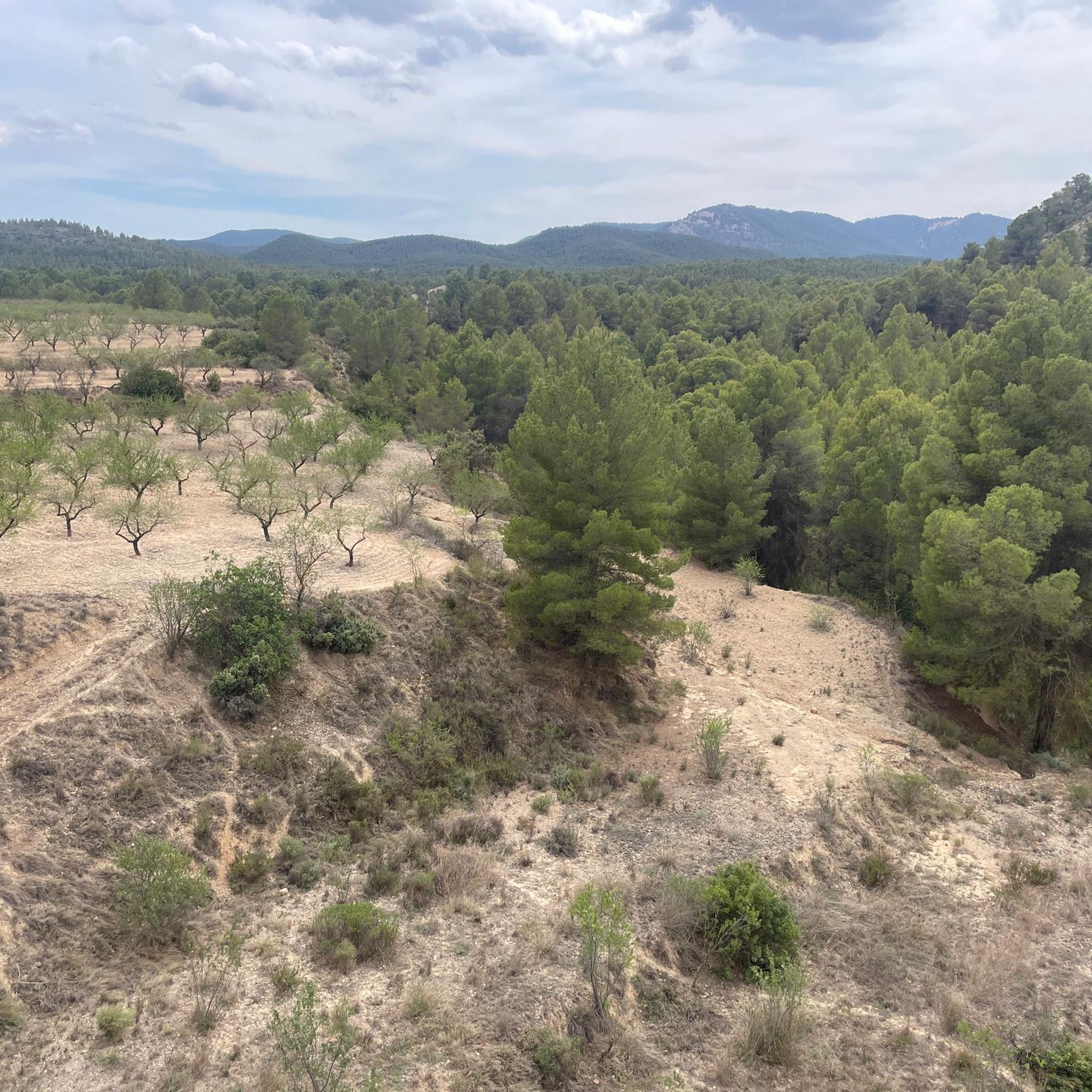
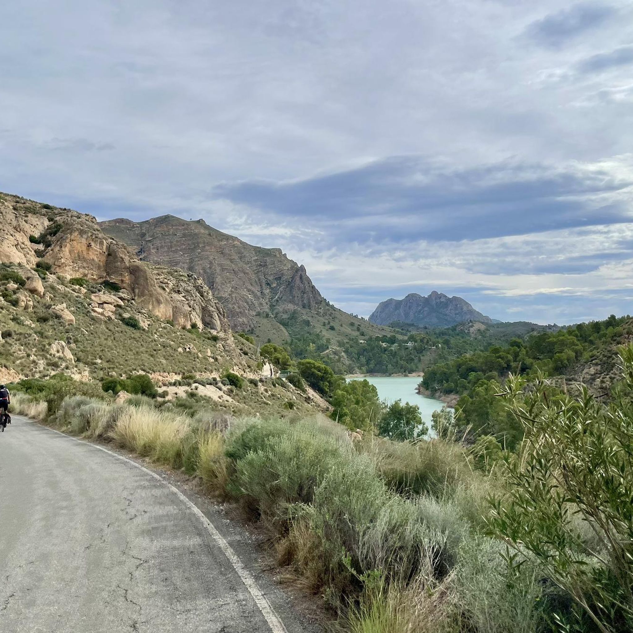
Yes, the region's rolling hills and the presence of the Embalse del Argós reservoir itself offer numerous scenic vistas. Many trails, especially those traversing higher ground or skirting the reservoir, provide beautiful views of the surrounding agricultural landscapes and natural environment.
Can I find places to eat or drink near the mountain bike trails?
The towns and villages along the Vía Verde del Noroeste and other routes, such as Cehegín and Calasparra, offer various cafes, restaurants, and shops where you can refuel and refresh during or after your ride. It's always a good idea to carry sufficient water and snacks, especially on longer routes.
Most popular routes around Embalse del Argós

Get inspired with the komoot mobile app


Explore more
Browse the best MTB trails in other regions.
