The best road cycling routes around Embalse de Guadalcacín
5.0
(14)
610
riders
23
rides
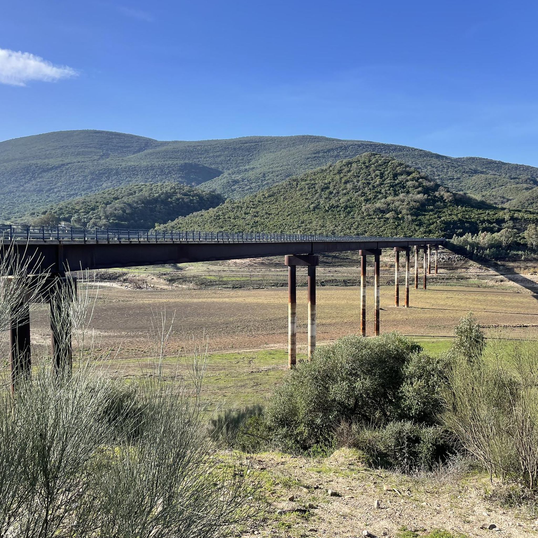
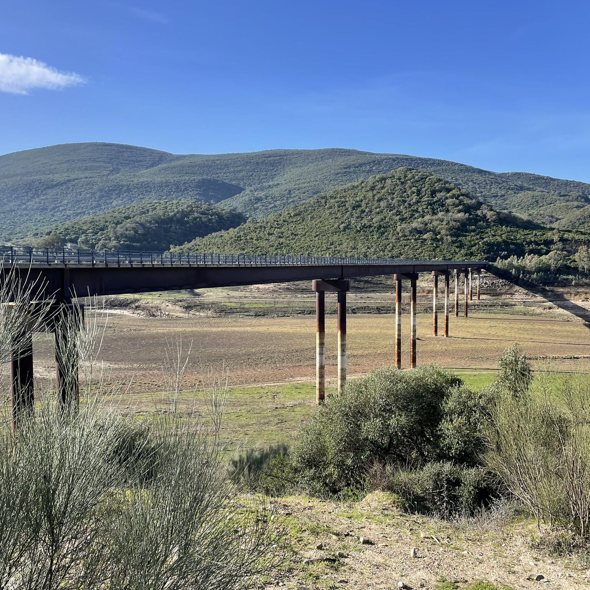
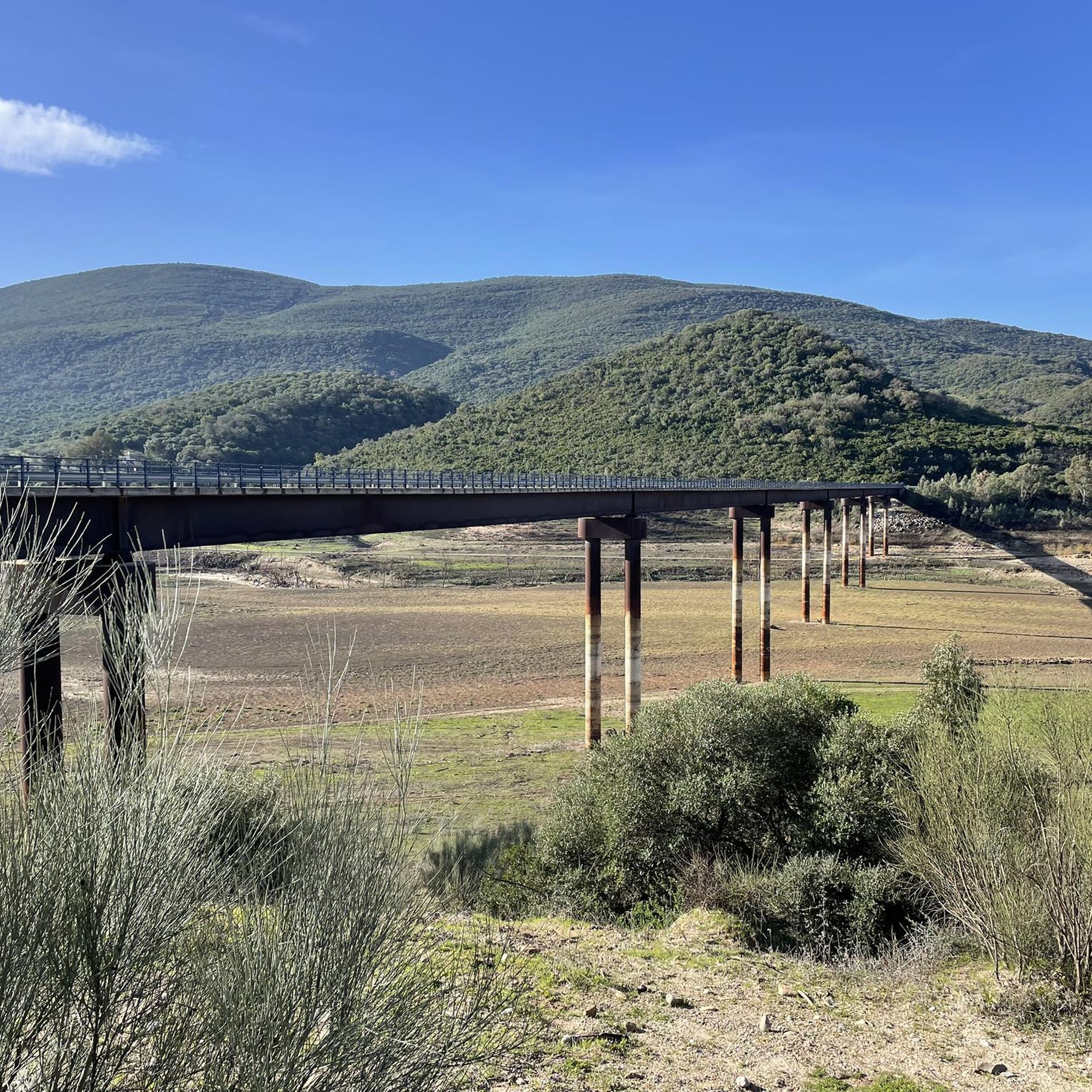
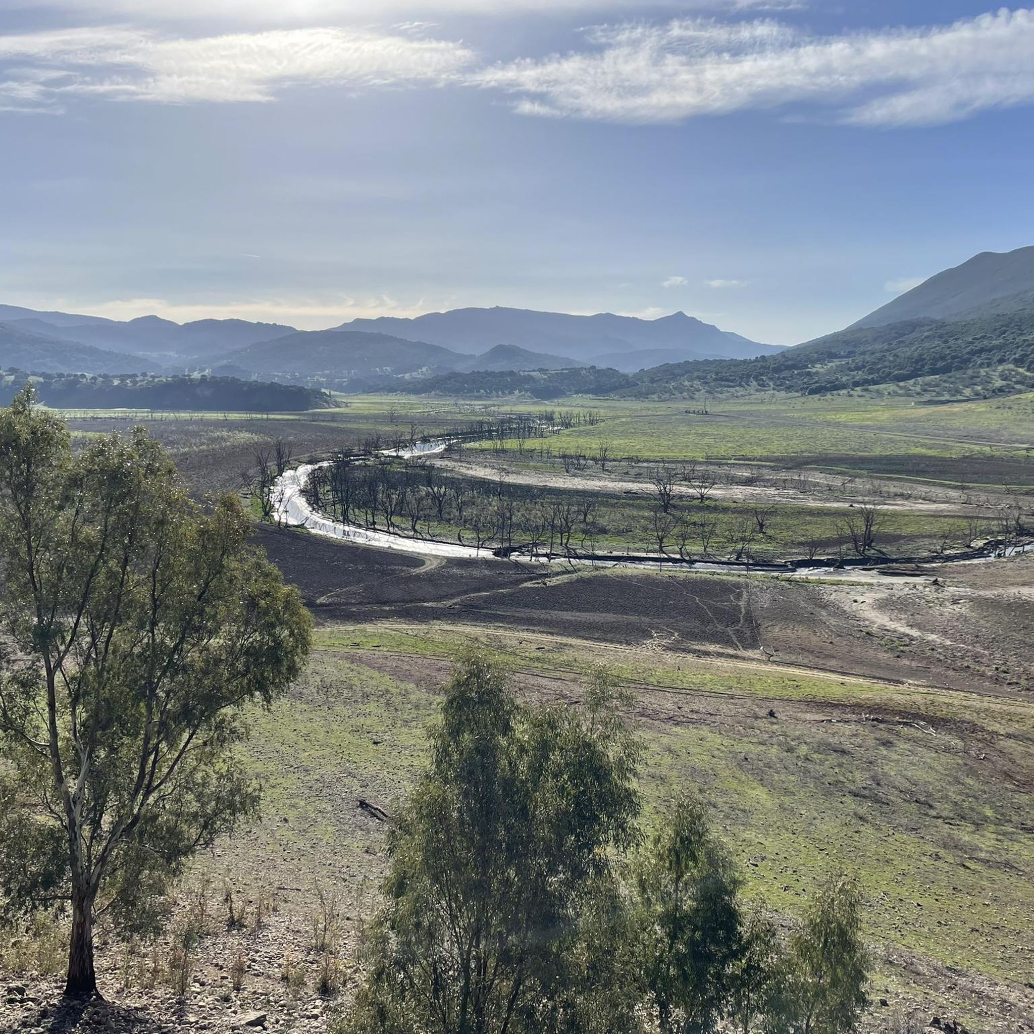
Road cycling around Embalse de Guadalcacín offers diverse terrain within the province of Cádiz, Andalusia. The region is characterized by the vast reservoir, providing a central feature for many routes, and offers glimpses of the Sierra de Grazalema Natural Park. Cyclists encounter mostly well-paved surfaces with varied elevation gains, ranging from rolling hills to more demanding ascents. The landscape includes open countryside, natural features, and historical elements, making it suitable for different fitness levels.
Best road cycling routes around Embalse…
Last updated: October 7, 2026
5.0
(2)
14
riders
42.9km
02:00
560m
560m
Moderate road ride. Good fitness required. Mostly well-paved surfaces and easy to ride.
18
riders
179km
08:14
2,070m
2,070m
Hard road ride. Very good fitness required. Some segments of this route may be unpaved and difficult to ride.

32
riders
111km
05:59
2,210m
2,210m
Hard road ride. Very good fitness required. Mostly well-paved surfaces and easy to ride.
17
riders
80.5km
04:32
1,830m
1,830m
Hard road ride. Very good fitness required. Mostly well-paved surfaces and easy to ride.
42
riders
91.7km
04:25
1,240m
1,240m
Hard road ride. Very good fitness required. Mostly well-paved surfaces and easy to ride.
Get access to more routes and recommendations from other explorers.
Already have an account?
Our route recommendations are based on thousands of hikes, rides, and runs completed by other people on komoot.
Start today with a free account
Your next adventure awaits.
Tips from the Community

Precisely stated: This is the advertising figure of the well-known Sherry brand Tío Pepe.
0
0

Unfortunately, the pass is currently closed due to road construction.
1
0


It's one of Andalusia's most iconic villages, perched on a rock with spectacular views of the Guadalete River. Its narrow, steep streets, whitewashed houses, and viewpoints invite you to wander leisurely. Furthermore, its historic center, declared a Historic-Artistic Site, perfectly reflects the essence of the White Villages.
0
0

It is a beautiful setting, you enjoy the tranquility, nature and unique place.
0
0

fantastic, very safe bike lane
0
0


This is one of the most famous climbs in the area, and with good reason: it's a beautiful route through a unique setting. It's 15 kilometers, averaging 5.7% gradient, and you ascend toward the mountain pass on a well-surfaced road with hardly any hard shoulders. Depending on the day of the week, you may encounter traffic, although drivers are accustomed to the presence of cyclists.
0
0
Frequently Asked Questions
What kind of terrain can I expect when road cycling around Embalse de Guadalcacín?
The region offers diverse terrain, from rolling hills to more demanding ascents, with mostly well-paved surfaces. You'll encounter open countryside, natural features, and glimpses of the Sierra de Grazalema Natural Park, providing varied elevation gains suitable for different fitness levels.
Are there road cycling routes suitable for beginners or those looking for an easier ride?
While many routes are challenging, there are moderate options available. For example, the Picao Bridge loop from San José del Valle is a moderate 39 km route with less elevation gain, offering a good option for those seeking a less strenuous experience.
What are some of the more challenging road cycling routes in the area?
For experienced cyclists, routes like the Puerto de las Palomas – Grazalema Village loop from Algar, a 112 km trail with over 2200m of elevation gain, or the Puerto de las Palomas – El Boyar Pass loop from Algar, a 70 km route with significant climbs, offer demanding experiences through mountainous landscapes.
What scenic viewpoints or landmarks can I see along the road cycling routes?
The area is rich in natural beauty and historical elements. You can enjoy panoramic views of the reservoir from the 'Tajo del Águila' viewpoint near Algar. Some routes also pass by historical sites such as the remains of an old Arab castle or the site of a former Roman bridge, adding intrigue to your ride.
Are there any circular road cycling routes around Embalse de Guadalcacín?
Yes, many routes are designed as loops, allowing you to start and finish in the same location. Examples include the Puerta Matrera – Cardenal Spínola Viewpoint loop from Vega de los Molinos, which offers rolling hills and panoramic views, and the El Picacho Recreation Area – Puerto de las Palomas Viewpoint loop from San José del Valle.
What is the best time of year for road cycling in Embalse de Guadalcacín?
The region generally offers favorable conditions for cycling for much of the year. Spring and autumn typically provide pleasant temperatures, making them ideal for longer rides. Summers can be hot, so early morning or late afternoon rides are recommended during those months.
What do other road cyclists enjoy most about cycling in Embalse de Guadalcacín?
The area is highly rated by the komoot community, with an average score of 5.0 stars. Reviewers often praise the diverse terrain, the stunning views of the reservoir and surrounding natural park, and the variety of routes that cater to different fitness levels.
Are there options for parking when cycling around Embalse de Guadalcacín?
Yes, many of the routes start from towns like Algar, San José del Valle, or Vega de los Molinos, where you can typically find parking facilities. It's advisable to check specific starting points for the most convenient parking options.
Can I find cafes or places to rest along the road cycling routes?
While the routes often traverse natural landscapes, towns and villages near the reservoir, such as Arcos de la Frontera and Jerez de la Frontera, offer cafes, restaurants, and other amenities where you can refuel and rest. Some routes may also pass by smaller establishments or an old road restaurant mentioned in the reservoir area.
How long does it typically take to cycle around Embalse de Guadalcacín?
The duration varies significantly depending on the chosen route and your fitness level. For instance, a moderate 58 km loop from Arcos de la Frontera might take around 2 hours and 51 minutes, while a more challenging 112 km route like the Puerto de las Palomas – Grazalema Village loop from Algar could take nearly 6 hours.
Are there any specific safety considerations for road cycling in this region?
While routes are mostly well-paved, some challenging sections involve significant elevation changes. Always ensure your bike is in good condition, wear appropriate safety gear, and be mindful of traffic, especially on roads connecting towns. Carrying enough water and snacks is also recommended, particularly on longer routes.
Most popular routes around Embalse de Guadalcacín

Get inspired with the komoot mobile app


Explore more
Browse the best Road cycling routes in other regions.
