The best running trails around Drumbanagher
4.3
(5)
432
runners
40
runs
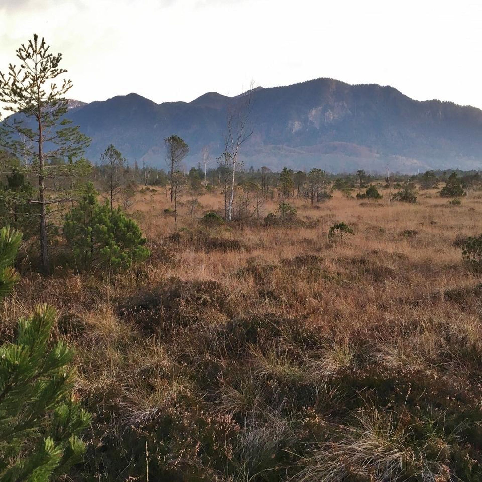
Jogging routes around Drumbanagher traverse a landscape characterized by Drumbanagher Forest, a woodland area predominantly featuring conifer trees. The wider region is set on undulating land, with gently sloping grounds and mature parkland trees. This varied topography includes wooded valleys and tree-lined pastures, creating diverse running experiences. Historical estate grounds also contribute to the area's natural appeal.
Best jogging routes around Drumbanagher
- The most popular jogging route is Bessbrook village running loop around Bessbrook Pond, a 3.1 miles (4.9…
Last updated: October 30, 2026
1
runners
4.94km
00:34
70m
70m
45
runners
Moderate run. Good fitness required. Mostly paved surfaces.

28
runners
10.4km
01:05
40m
40m
Moderate run. Good fitness required. Mostly paved surfaces.
16
runners
6.98km
00:44
70m
70m
Moderate run. Good fitness required. Mostly paved surfaces.
11
runners
4.66km
00:29
40m
40m
Easy run. Mostly paved surfaces.
Get access to more routes and recommendations from other explorers.
Already have an account?
Our route recommendations are based on thousands of hikes, rides, and runs completed by other people on komoot.
Start today with a free account
Your next adventure awaits.

Tips from the Community

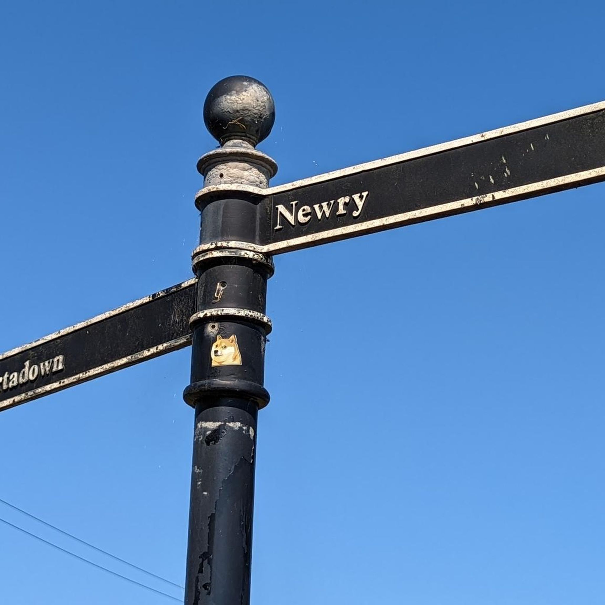
Between the rustling trees along the Newry Canal Towpath, you'll encounter the tranquil ruin of a lock keeper's cottage. Once, this was the proud and bustling heart of the waterway, where the lock keeper stood ready day and night to operate the heavy wooden canal gates for passing barges. Today, only the robust stone walls remain, slowly being reclaimed by nature.
6
0
Quiet canal section south of Poyntzpass, where the towpath runs tightly along the narrow water. The bank is lightly overgrown with low trees and hedges, giving the stretch an intimate, green impression. The water is mostly still, forming a straight line through the open agricultural landscape. An even, traffic-free segment ideal for quiet miles on the towpath.
5
0

Here, too, passersby encounter a "war memorial" in the center of town. Everywhere in the villages and towns, victims were mourned during the terrible wars (especially, but not only, in the first half of the last century) – often young people who had to endure suffering and pain and ultimately paid with their own lives for their service to their fatherland far from home. Their names are always inscribed on the respective memorial to at least keep the memory alive.
0
0
Here, too, hikers and walkers will encounter a "war memorial" in the center of town, as throughout the villages and towns, victims of the terrible wars (especially in the first half of the last century) were mourned – often young people who had to endure suffering and pain and ultimately paid with their own lives for their service to their country far from home. Their names are always inscribed on the respective memorial to at least keep the memory alive.
0
0

There is something enchanted about this old, dilapidated stone hut - as if it were whispering stories of times gone by, when the canal was still full of life and the lock keepers worked here day and night. The walls, overgrown with greenery and moss, show how nature is slowly reclaiming its place. The building itself is only a ruin, but that is precisely what makes it somehow interesting. The mixture of broken brickwork and wild growth has something melancholic about it that fits perfectly into the tranquility of the surroundings. Right next to it there is a small rest area with a bench - ideal for stopping for a moment and taking in the atmosphere.
1
0
The Craigmore Viaduct is an impressive structure, with its 18 arches spanning the Camlough River Valley, dominating the landscape of south Armagh. As I cycled along the gently curving roads, the viaduct suddenly appeared on the horizon - a massive but elegant sight. The tall stone arches seem to effortlessly support the train traffic that runs between Dublin and Belfast. I stopped for a moment to take a closer look at the structure. It is fascinating to know that this structure has been standing here since 1852, designed by Irish engineer John Benjamin Macneill. The highest arch rises 126 feet, and standing under it you can really appreciate the scale and importance of this structure to the region. The surroundings are just perfect for putting your bike down and taking some time to look at the view. Perhaps a small lookout point with information about the history of the viaduct would be a nice addition, but even without it it is a worthwhile stop along the way. We continue, but the image of the arches remains in our minds.
2
0
The war memorial in Bessbrook stands silently yet full of meaning in the heart of the village. The white obelisk bears the names of almost ninety people who gave their lives in the Second World War - a sign of remembrance and remembrance of those who once lived here and defended their homeland. As you walk past, you can read the inscriptions that tell the stories of those who fell. The square around the memorial is simple, but that is precisely what draws the focus to the message of remembrance and the silent commemoration of the past. The surrounding houses seem to carry the history of the place and you can almost feel how yesterday and today are connected here. A place that makes you pause and reminds you of how important it is to preserve history.
2
0

This War Memorial in Bessbrook is dedicated to the 86 individuals from the village who gave their lives in the Second World War. It is a 17-foot (5.75 meters) tall obelisk.
2
0
Frequently Asked Questions
How many running routes are available around Drumbanagher?
There are over 40 running routes available in the Drumbanagher area, offering a variety of experiences for different skill levels. These include easy loops, moderate paths, and some more challenging trails.
What kind of terrain can I expect on the jogging trails in Drumbanagher?
The jogging trails around Drumbanagher feature diverse terrain. You'll find paths through Drumbanagher Forest, characterized by conifer trees, as well as routes on undulating land with gently sloping grounds and mature parkland trees. Expect a mix of wooded valleys and tree-lined pastures, providing varied ascents and descents.
Are there any easy running routes suitable for beginners or a relaxed jog?
Yes, Drumbanagher offers several easy running routes. A great option is the Bessbrook village running loop around Bessbrook Pond, which is an easy 3.1-mile (4.9 km) path perfect for a gentle jog. Another easy route is the Bessbrook War Memorial loop from Bessbrook, covering 4.6 km.
Can I find longer or more challenging running trails in the Drumbanagher area?
Absolutely. For a more moderate challenge, consider the Newry Canal Towpath – Lock Keeper's Cottage Ruins loop from Mullaghglass. This route spans 8.5 miles (13.6 km) and follows a historic canal towpath. There are 23 moderate and 12 difficult routes in the region for those seeking a greater workout.
What are some scenic points or landmarks I might encounter on a run?
While running in Drumbanagher, you can enjoy the natural beauty of Drumbanagher Forest and its mature parkland trees. The area also holds historical interest, with remnants of the Drumbanagher Estate, including a substantial portico and parts of an ornamental garden. You might also encounter the Newry Canal Towpath, which offers picturesque views.
Are the running trails in Drumbanagher suitable for families?
Many of the easier routes, particularly those with less elevation gain and well-maintained paths, are suitable for families. The varied topography and natural settings, especially within Drumbanagher Forest, provide an engaging environment for all ages to enjoy a run or walk together.
Is Drumbanagher Forest accessible for runners, and what can I expect there?
Yes, Drumbanagher Forest is a key feature for outdoor activities, including running. It's a woodland area dominated by conifer trees, offering a natural, shaded environment. Visitors are welcome to explore on foot, making it ideal for unpaved running and walks amidst its serene atmosphere. You can find more information about the forest on nidirect.gov.uk.
What do other runners say about the trails in Drumbanagher?
The running routes in Drumbanagher are highly rated by the komoot community, with an average score of 5.0 stars from more than 4 reviews. Over 400 runners have used komoot to explore the varied terrain, often praising the dense woodlands, undulating landscapes, and historical features that define the area's running experience.
Are there any circular running routes in Drumbanagher?
Yes, many of the routes in Drumbanagher are designed as loops, offering convenient circular options. For example, the Newry River loop from Mullaghglass is a 6.5-mile (10.4 km) circular trail that takes you through riverine landscapes.
What is the best time of year to go jogging in Drumbanagher?
Drumbanagher's varied landscape, with its woodlands and undulating terrain, makes it suitable for jogging year-round. Spring and autumn offer pleasant temperatures and beautiful foliage, while the shaded forest paths can provide a cooler experience during warmer summer months. Even in winter, the trails can be enjoyed, though conditions may vary.
Are there any historical sites or points of interest near the running trails?
Beyond the natural beauty, the Drumbanagher area is rich in history. You can explore the remnants of the historic Drumbanagher Estate, including the substantial portico of the former Italian-style house. Other nearby attractions include the Scarva Village and the Clare Glen Stone Bridges, which add cultural interest to your run.
Is there parking available near the running routes in Drumbanagher?
While specific parking details for every route vary, areas like Drumbanagher Forest typically offer visitor parking. It's advisable to check individual route descriptions on komoot for the most accurate information regarding parking facilities at trailheads.
Most popular routes around Drumbanagher
Most popular attractions around Drumbanagher

Get inspired with the komoot mobile app


Explore more
Browse the best Running Trails & Routes in other regions.
