The best road cycling routes around Mullanasilla
5.0
(1)
673
riders
154
rides
Road cycling routes around Mullanasilla offer varied terrain for cyclists in County Armagh, Northern Ireland. The area features a network of roads suitable for different skill levels, characterized by moderate elevation changes. Routes often traverse rural landscapes, providing opportunities for longer rides through the countryside. The region's topography includes gentle ascents and descents, typical of the County Armagh area.
Best road cycling routes around Mullanasilla
- The most popular road cycling route is Gosford Castle – Scarva Village loop from Richhill…
Last updated: October 31, 2026
16
riders
43.6km
01:47
260m
260m
Easy road ride. Mostly well-paved surfaces and easy to ride.
16
riders
49.7km
02:13
510m
510m
Moderate road ride. Good fitness required. Mostly well-paved surfaces and easy to ride.

11
riders
68.5km
03:06
760m
760m
Moderate road ride. Good fitness required. Mostly well-paved surfaces and easy to ride.
13
riders
50.1km
02:21
510m
510m
Moderate road ride. Good fitness required. Mostly well-paved surfaces and easy to ride.
11
riders
63.4km
02:46
510m
510m
Moderate road ride. Good fitness required. Mostly well-paved surfaces and easy to ride.
Get access to more routes and recommendations from other explorers.
Already have an account?
Our route recommendations are based on thousands of hikes, rides, and runs completed by other people on komoot.
Start today with a free account
Your next adventure awaits.


Tips from the Community

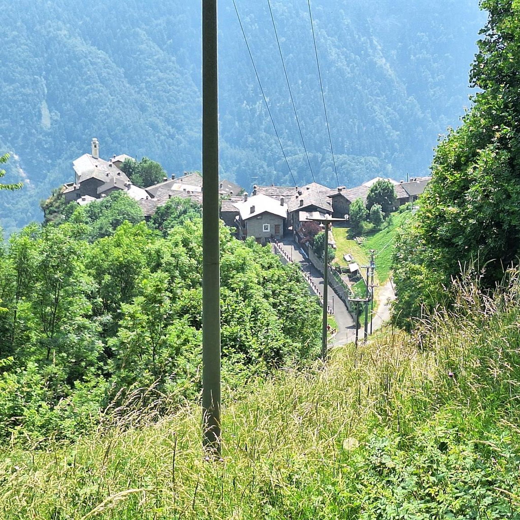
Small linear village on the border of Armagh and Down, where the road and the old Newry Canal cross in a narrow passage (the pass). The canal runs tightly here between low hedges and open farmland, with short bridges and straight stretches of towpath. The village itself is compact: one main street, 19th-century facades, railway line and a quiet, rural atmosphere.
7
0
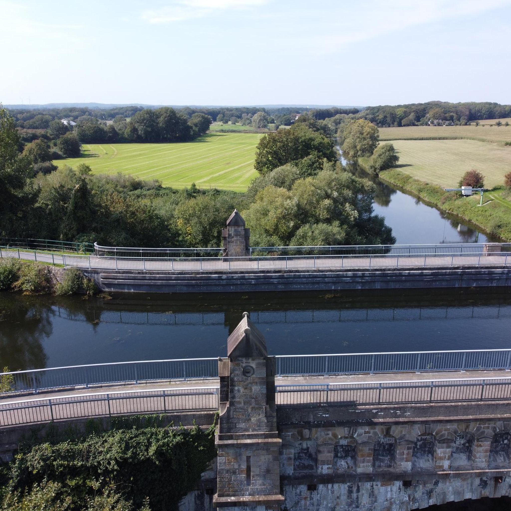
Quiet canal section south of Poyntzpass, where the towpath runs tightly along the narrow water. The bank is lightly overgrown with low trees and hedges, giving the stretch an intimate, green impression. The water is mostly still, forming a straight line through the open agricultural landscape. An even, traffic-free segment ideal for quiet miles on the towpath.
5
0

Nice little cafe in the village of Scarva right alongside the Newry canal towpath, great for brekkie, lunch or just topping up the hydration.
1
0

Hollie Berrie is a good place for refreshments on the route at Scarva
0
1

The small town of Scarva, nestled between green meadows and the quiet canal, offers a welcome break on my bike tour through Northern Ireland. Here you cycle on well-maintained paths past historic bridges and small villages that give you the feeling that time has stood still. The British flags fluttering along the side of the road remind you that you are in a culturally special area - a detail that reflects the identity of the region. The route is easy to cycle, the surrounding landscape is gently rolling, which makes for pleasant cycling. The view of wide fields and rolling hills invites you to slow down now and then and take in the peace and quiet. A special feature of Scarva is the annual Orange Order March, which transforms the village into a kind of open-air stage once a year and keeps the traditions of this region alive.
1
0
The dam is easy to cross and from there you have a great view over the lake and the rolling hills that surround it. The peaceful atmosphere is only occasionally interrupted by the gentle rippling of the water. The reservoir provides fresh drinking water to the surrounding area and the trout fishery here is controlled by the Armagh Angling Club - so it's an interesting spot for anglers. Even if you're not here to fish, the scenery is simply relaxing and it's worth stopping for a few minutes and looking around. The roads around the lake are easy to drive on but there might be a few potholes in places - nothing that would stop a real cyclist. Overall a nice stop to enjoy nature and take a quick breather before moving on.
2
0
Here, a bull sits, seemingly rising from the ground, sleeping contentedly. The stone is said to be connected to the legend of St. Patrick, who was once teased by his pet bull while building his church. Whether or not this was true, the story lends an air of mysticism to the place. The surroundings are quiet, and there is a small bench where you can rest while you reflect on the legends and myths that surround this place. The art installation is not necessarily a major highlight, but it adds an interesting touch to the landscape and gives your tour a small, unexpected detail. The road here is easy to ride, with only a few small inclines, so if you have time for a quick stop, this is a nice place to take a break and prepare for the next leg.
2
0
Frequently Asked Questions
How many road cycling routes are available around Mullanasilla?
There are over 170 road cycling routes around Mullanasilla, offering a wide range of options for different skill levels. This includes 35 easy routes, 130 moderate routes, and 5 more challenging options.
What is the typical terrain like for road cycling in Mullanasilla?
Road cycling around Mullanasilla is characterized by varied terrain, featuring rural roads and moderate elevation changes. You'll encounter gentle ascents and descents typical of the County Armagh area, traversing agricultural landscapes and countryside.
Are there road cycling routes suitable for beginners in Mullanasilla?
Yes, Mullanasilla offers 35 easy road cycling routes. These paths are generally less demanding in terms of elevation and distance, making them suitable for those new to road cycling or looking for a more relaxed ride.
What kind of elevation can I expect on road cycling routes near Mullanasilla?
The routes around Mullanasilla feature moderate hills. For example, the Gosford Castle – Scarva Village loop from Richhill has an elevation gain of over 500 meters, while the View of Lough Neagh loop from Richhill involves around 396 meters of climbing. There are also routes with less elevation for easier rides.
What landmarks or points of interest can I see while road cycling around Mullanasilla?
While cycling, you can pass by several interesting landmarks. Notable attractions include the historic Gosford Castle and the Red Deer Enclosure within Gosford Forest Park. Some routes also offer views towards Lough Neagh.
Are there any natural features to explore along the cycling routes?
Yes, you can encounter natural features such as the Cusher River and the scenic Clare Glen Stone Bridges. Many routes traverse rural landscapes, providing a pleasant natural backdrop for your ride.
What do other road cyclists say about the routes in Mullanasilla?
The road cycling routes in Mullanasilla are highly rated by the komoot community, with an average score of 4.5 stars from over 3 reviews. More than 700 road cyclists have explored the varied terrain, often praising the rural roads and moderate challenges.
Are there circular road cycling routes available in Mullanasilla?
Yes, many of the routes around Mullanasilla are designed as loops, allowing you to start and finish in the same location. Examples include the Gosford Castle – Scarva Village loop from Richhill and the Chicken Fillet Shop – Fruitfield Factory loop from Richhill.
Are there any longer road cycling routes for advanced riders?
For more experienced riders seeking longer distances, routes like the Lottie's Café – Scarva Village loop from Richhill cover nearly 80 kilometers with over 700 meters of elevation gain. There are 5 routes classified as difficult, offering greater challenges.
Can I find cafes or places to stop along the road cycling routes?
While specific cafes are not detailed for every route, the presence of routes named after local establishments like 'Lottie's Café' and 'The Barn Pantry' suggests that opportunities for refreshment may exist in nearby villages or towns along the routes. It's advisable to check specific route details for amenities.
What is the best time of year for road cycling in Mullanasilla?
Given the general climate of County Armagh, spring and summer typically offer the most favorable weather conditions for road cycling, with milder temperatures and longer daylight hours. However, the moderate terrain can be enjoyed in various seasons, weather permitting.
Are there family-friendly road cycling options in Mullanasilla?
While the guide focuses on road cycling, which often involves shared roads, the presence of 35 easy routes suggests options that might be more suitable for families with older children or those looking for less strenuous rides. Always check the specific route details for traffic conditions and suitability.
Is there parking available near the road cycling routes?
Many routes start from towns or villages like Richhill, where public parking facilities are generally available. For routes passing through attractions like Gosford Castle, dedicated parking areas are typically provided. It's recommended to check the starting point of your chosen route for specific parking information.
Most popular routes around Mullanasilla
Most popular attractions around Mullanasilla

Get inspired with the komoot mobile app


Explore more
Browse the best Road cycling routes in other regions.
