The best road cycling routes around Shankill
4.4
(150)
2,090
riders
217
rides
Road cycling around Shankill offers diverse terrain, from coastal roads to the foothills of the Dublin and Wicklow Mountains. The region features a mix of paved surfaces and country roads, providing varied elevation gains. Cyclists can experience scenic coastal views along the southeast coast of County Dublin and access hillier terrain with mountain backdrops. This area serves as a gateway to longer, more challenging routes into the Wicklow Mountains.
Best road cycling routes around Shankill
- The most popular road cycling…
Last updated: October 28, 2026
5.0
(1)
10
riders
38.2km
01:34
150m
150m
The Derrytrasna Loop offers an easy road cycling experience, covering 23.7 miles (38.2 km) with a gentle elevation gain of 494 feet (150 metres). You can expect to complete this…
5.0
(12)
47
riders
38.9km
01:38
230m
230m
Easy road ride. Mostly well-paved surfaces and easy to ride.

4.0
(2)
52
riders
68.2km
02:45
360m
360m
Moderate road ride. Good fitness required. Mostly well-paved surfaces and easy to ride.
4.4
(8)
37
riders
59.4km
02:19
160m
160m
Moderate road ride. Good fitness required. Mostly well-paved surfaces and easy to ride.
22
riders
45.9km
01:55
310m
310m
Moderate road ride. Good fitness required. Mostly well-paved surfaces and easy to ride.
Get access to more routes and recommendations from other explorers.
Already have an account?
Our route recommendations are based on thousands of hikes, rides, and runs completed by other people on komoot.
Start today with a free account
Your next adventure awaits.
Tips from the Community


The Crack Bridge, also known as Fearon’s Bridge, is one of the most characteristic stone arch bridges over the Newry Canal. This historic structure is located on a beautiful, secluded section of the towpath between Poyntzpass and Jerrettspass. This robust, semi-circular arch bridge from the 18th century is built from locally quarried stone and forms an iconic image along the Newry Canal Towpath. The bridge was originally built to give local farmers and their livestock access to the farmlands on both sides of the canal without hindering navigation.
7
0
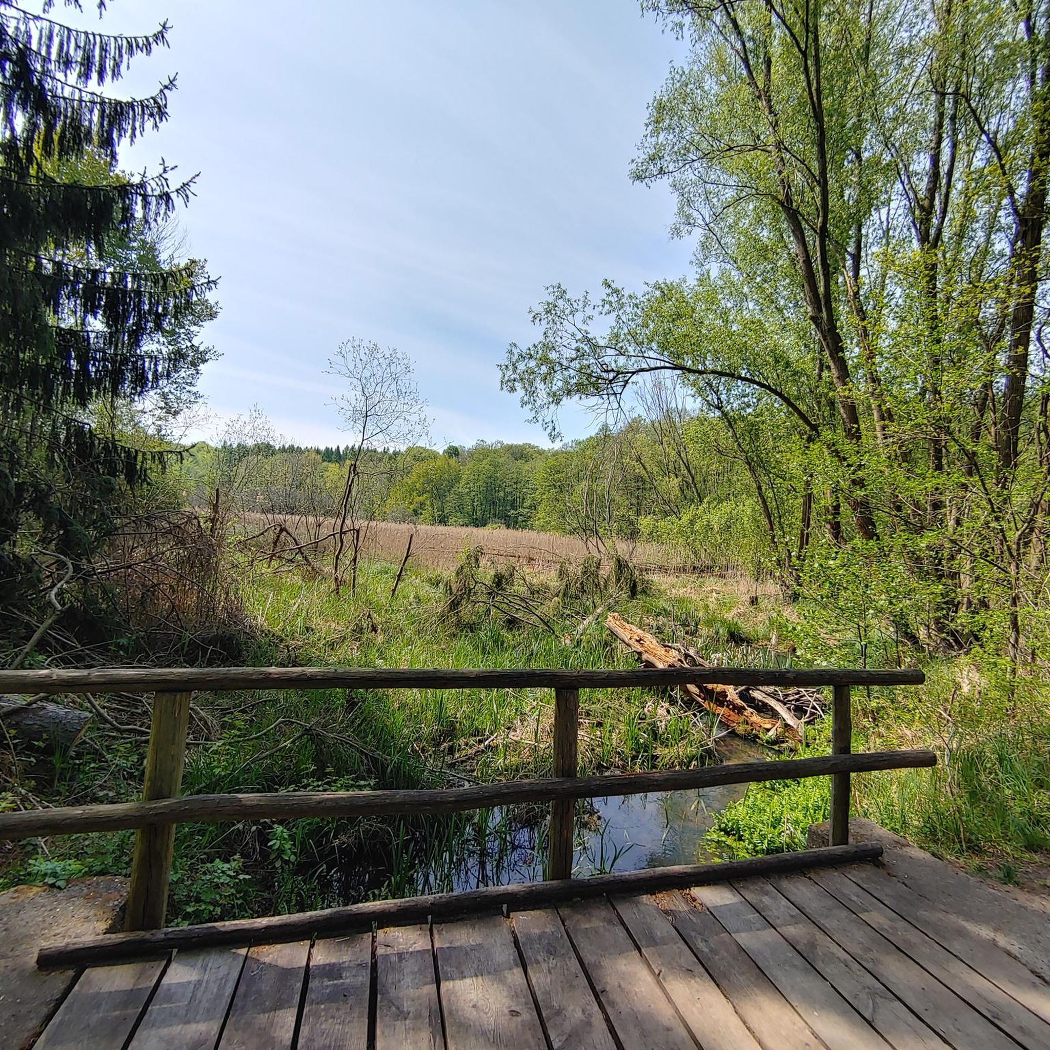
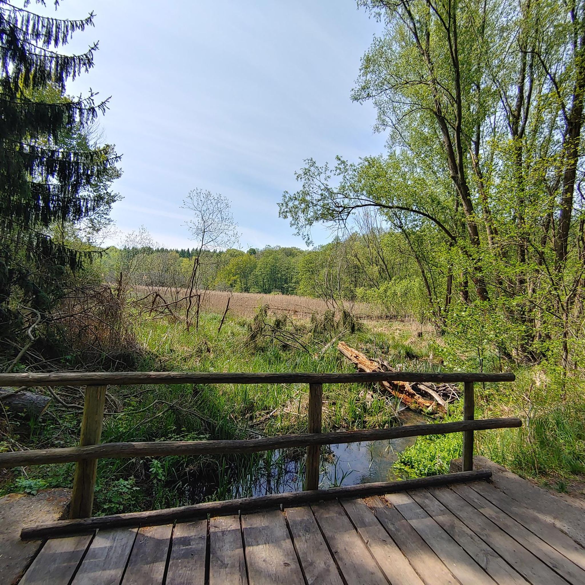
This largely flat and completely traffic-free path winds through the heart of counties Armagh and Down, along the tranquil waterway that once formed the lifeline for transporting coal to the Irish Sea. As you pedal over the well-maintained asphalt or fine gravel, you'll be surrounded by lush green embankments, historic stone bridges, and the monumental remains of eighteen locks that bridge the elevation difference in the landscape. A mix of smooth asphalt and easily rideable fine gravel, suitable for almost all types of bicycles.
7
0
Small coffeeshop right by the river Bann, directly next to Sustrans Route 9 / Newry Canal Towpath. The cafe is practically on the roadside, making it a logical stop for cyclists following the canal path. The old brick building has a relaxed atmosphere; inside and out it's a place where cyclists and walkers cross paths. Ideal for a coffee, a small snack and a short break before you cycle back into the canal landscape towards Craigavon Lakes. Enjoyed the stop, but forgot the photo.
7
0
The Newry Canal Towpath is a 32-kilometer-long, almost entirely traffic-free green corridor connecting the towns of Portadown and Newry. It follows the towpath of the oldest canal in the British Isles, opened in 1742 to transport coal from County Tyrone to the sea. The Newry Canal Towpath offers an unparalleled cycling experience through the tranquil heart of County Armagh and County Down. This historic route, part of the National Cycle Network Route 9, takes you along a flat and largely asphalted path past fourteen monumental locks and characteristic lock-keeper's cottages. As you follow the waterway, you'll traverse a varied landscape of dense forests and open meadows, passing through welcoming villages like Scarva and Poyntzpass along the way. The path is a haven for wildlife; keep an eye out for kingfishers, swans, and otters that inhabit the reed beds. Whether you cycle the full 32 kilometers or explore just a section, the combination of industrial history and natural beauty makes this one of the absolute gems of Irish cycling routes.
5
0

Nice little cafe in the village of Scarva right alongside the Newry canal towpath, great for brekkie, lunch or just topping up the hydration.
1
0

Hollie Berrie is a good place for refreshments on the route at Scarva
0
1
Frequently Asked Questions
How many road cycling routes are available around Shankill?
There are over 260 road cycling routes around Shankill, offering a wide variety of options for different skill levels and preferences. This includes 85 easy routes, 155 moderate routes, and 20 challenging routes.
What kind of terrain can I expect on road cycling routes near Shankill?
Road cycling around Shankill offers a diverse mix of terrain. You'll find scenic coastal roads along the southeast coast of County Dublin, as well as country roads leading into the foothills of the Dublin and Wicklow Mountains. Routes feature varied elevation gains, from gentle slopes to more significant climbs, providing options for all fitness levels.
Are there any easy road cycling routes suitable for beginners or a relaxed ride?
Yes, Shankill offers many easy road cycling routes. For a relaxed experience, consider the Derrytrasna Loop, an easy 38.2 km trail with minimal elevation gain. Another popular easy option is the Bartin's Bay – SMCC Sunday P&P Bun Run loop from Lurgan, which is 38.5 km long with gentle elevation changes.
What are some notable landmarks or natural features to see along road cycling routes in Shankill?
The region boasts stunning natural beauty and historical sites. Many routes offer views of Dublin Bay and the Wicklow Mountains. You might pass by significant bodies of water like Lough Neagh or Craigavon Lakes. Historical points of interest include the Moyallan Pillbox. The area also features unique man-made monuments such as the Wave Sculptures Overlooking Lough Neagh.
Can I find challenging road cycling routes with significant climbs near Shankill?
Absolutely. Shankill's proximity to the Dublin and Wicklow Mountains means you can access routes with more substantial elevation gains. While specific challenging routes are not listed here, the region is known for offering rides with up to 3,000 feet of elevation, catering to experienced cyclists looking for a demanding ride.
Are there any circular road cycling routes around Shankill?
Yes, many road cycling routes around Shankill are designed as loops. For example, the View of Lough Neagh – Bartin's Bay loop from Lurgan is a moderate 68.1 km circular route that takes you through varied landscapes. The Scarva Village – Craigavon Lakes loop from Lurgan is another moderate 46.0 km loop.
What do other road cyclists think about the routes in Shankill?
The road cycling routes in Shankill are highly regarded by the komoot community, with an average rating of 4.38 stars from over 130 reviews. Cyclists often praise the diverse terrain, from coastal paths to mountain foothills, and the variety of options available for different skill levels.
Is it possible to combine road cycling with exploring historical sites in the Shankill area?
Yes, the Shankill area is rich in history. While cycling, you can pass by ancient sites like Shankill Castle (built in 1229) or the historic Ballycorus Leadmines. Many routes offer glimpses of these historical landmarks, allowing you to combine your ride with cultural exploration.
Are there any routes that offer views of Dublin Bay or the Wicklow Mountains?
Many road cycling routes in and around Shankill provide stunning panoramic views. Due to its location on the coast and at the foothills of the Dublin and Wicklow Mountains, you'll frequently encounter breathtaking vistas of Dublin Bay to the east and the picturesque Wicklow Mountains to the south, especially on routes that climb higher ground.
Can I access road cycling routes from Shankill that extend into the wider region?
Shankill serves as an excellent starting point or gateway for longer, more challenging cycling routes that extend into the Wicklow Mountains. Its strategic location allows cyclists to connect to broader regional networks, including routes that might pass through areas like Sally Gap or Bray.
What are the surface conditions like on road cycling routes in Shankill?
The road cycling routes in Shankill primarily consist of paved surfaces, ranging from well-maintained coastal roads to country roads. While most routes are suitable for road bikes, some more adventurous rides might incorporate segments with varying surface conditions, particularly when venturing into less developed areas near the mountains.
Are there any road cycling routes that follow canals or rivers?
Yes, you can find routes that incorporate waterways. For instance, the Newry Canal Path – Newry Canal Towpath loop from Lurgan is a moderate 59.6 km route that follows the Newry Canal, offering a different scenic experience.
Most popular routes around Shankill
Most popular attractions around Shankill

Get inspired with the komoot mobile app


Explore more
Browse the best Road cycling routes in other regions.
