The best MTB trails around Cold Brayfield
4.7
(13)
42
riders
16
rides
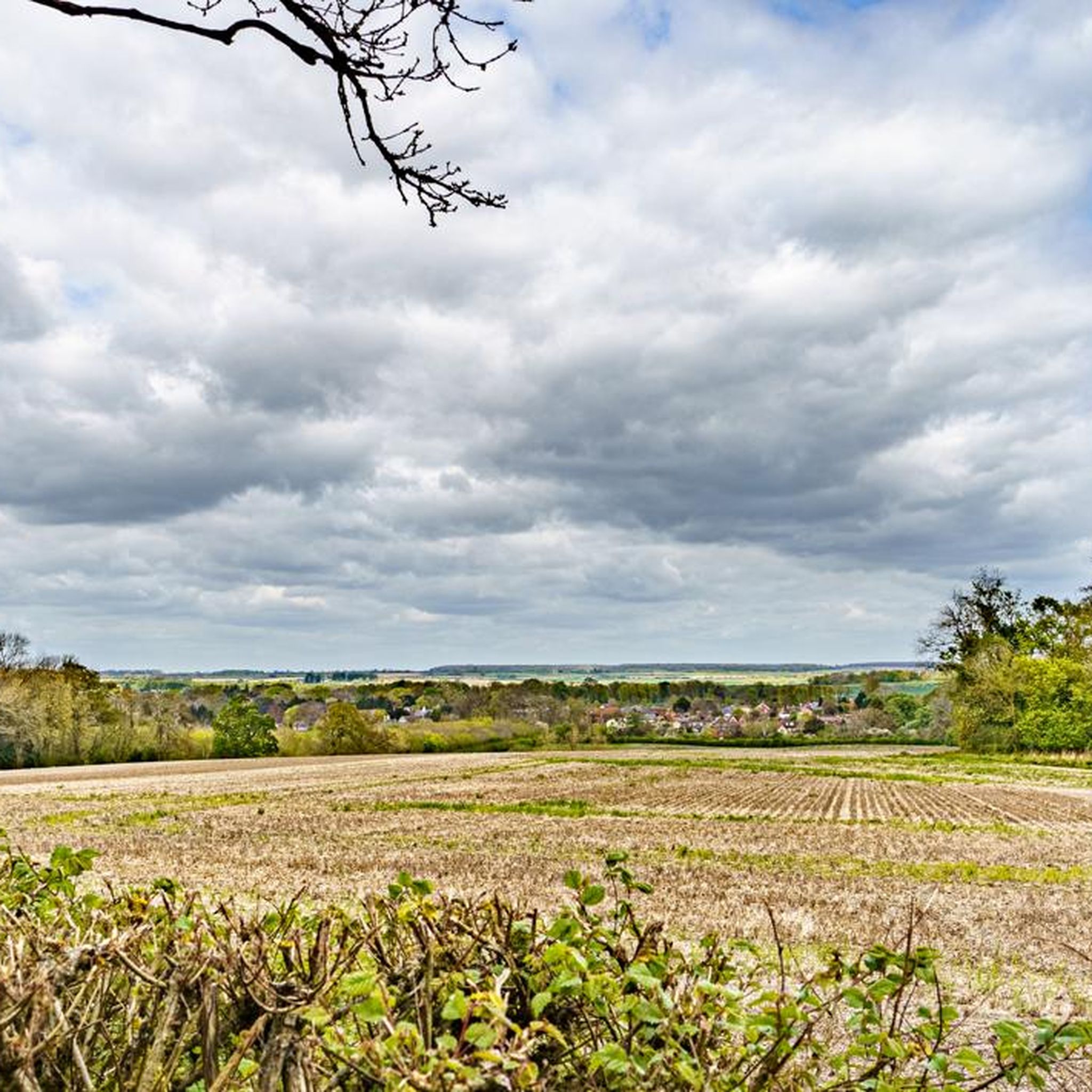
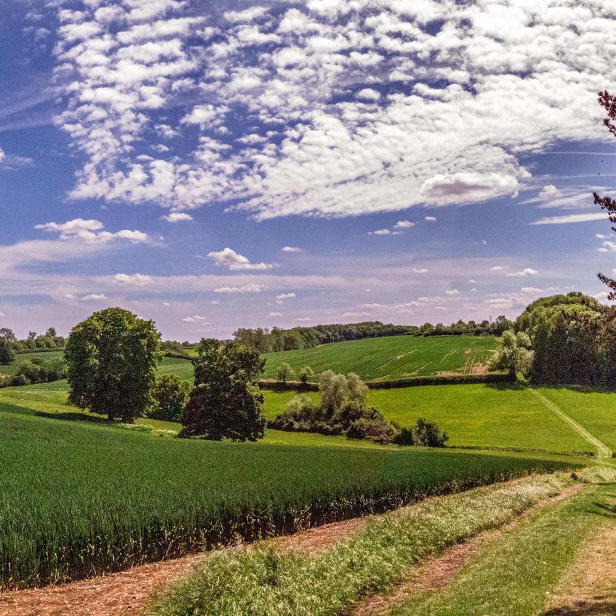
Mountain biking around Cold Brayfield offers routes through the flat, open countryside of Buckinghamshire, characterized by river valleys and agricultural land. The area features paths along the River Ouse and sections of the Grand Union Canal, providing a mix of natural and historical landscapes. Elevations are generally low, making the terrain accessible for various skill levels. The region's network of trails connects villages and rural areas, suitable for exploring by mountain bike.
Best mountain bike trails around Cold Brayfield
- The…
Last updated: October 9, 2026
5.0
(1)
4
riders
35.0km
02:34
240m
240m
Moderate mountain bike ride. Good fitness required. Suitable for all skill levels.
5.0
(1)
6
riders
25.6km
01:52
160m
160m
Easy mountain bike ride. Great for any fitness level. Suitable for all skill levels.

2
riders
39.5km
02:54
280m
280m
Moderate mountain bike ride. Good fitness required. Advanced riding skills necessary.
4
riders
51.1km
02:51
230m
230m
Moderate mountain bike ride. Good fitness required. Suitable for all skill levels.
4.0
(1)
4
riders
32.1km
01:49
210m
210m
Easy mountain bike ride. Great for any fitness level. Suitable for all skill levels.
Get access to more routes and recommendations from other explorers.
Already have an account?
Our route recommendations are based on thousands of hikes, rides, and runs completed by other people on komoot.
Start today with a free account
Your next adventure awaits.

Tips from the Community

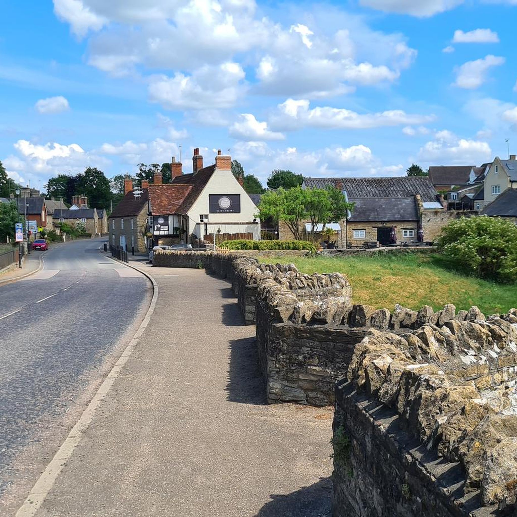
I find it safe to lock my bike in the market square. They are visible from the cafe windows and the entrance to the fish and chip shop. It gives a bit of peace of mind.
0
0


Good when it’s dry can get a little boggy in winter months
0
0

Great place to run with a mixture of path types some super fast (MK Redways) and some smaller paths. Lots of places to stop to eat, buy food and art installations.
0
0
Great Lake to run around, paths are a little bumpy but that doesn’t spoil the run
0
0

This old bridge sits over the remnants of an old regional railway line that used to run to/from Towcester and join up with the Northampton to Bedford line near the Yardley Hastings ammo depot. The tracks themselves are long gone but peering over the sides you can see the remains of the old track bed with trees either side going off into the distance.
0
1

Great street art of Mog and Mog under the M1 on the old railway cycle path. Storyboard runs from one side to the other and is well worth stopping to take it all in. I exited the under past with a big smile and great feeling from my childhood 👍🏼
0
0
Frequently Asked Questions
What is the general difficulty level of mountain bike trails around Cold Brayfield?
The mountain bike trails around Cold Brayfield are generally accessible, with a good mix of easy and moderate routes. Out of 17 total tours, 10 are classified as easy and 7 as moderate, making the area suitable for various skill levels. The terrain is characterized by low elevations and flat, open countryside.
Are there family-friendly mountain bike trails in Cold Brayfield?
Yes, Cold Brayfield offers several family-friendly mountain bike trails, particularly those following the River Ouse and canal towpaths. These routes typically have gentle terrain and low elevations, making them suitable for families. An example of an easy route is the River Ouse Weir – Triangulation Station 1930 loop from Olney, which is 15.9 miles (25.6 km) long.
What is the typical length of mountain bike trails in Cold Brayfield?
Mountain bike trails in Cold Brayfield vary in length. Many popular routes range from around 15 miles (24 km) to over 30 miles (48 km). For instance, the Olney Pancake Parlour – Olney Market Square loop from Olney is 21.6 miles (34.8 km), while the Grand Union Canal – Willen Lake South loop from Sherington extends to 32 miles (51.5 km).
When is the best time of year to go mountain biking in Cold Brayfield?
The flat, open countryside and river paths around Cold Brayfield make it enjoyable for mountain biking throughout much of the year. Spring and autumn offer pleasant temperatures and vibrant scenery. While winter riding is possible, be prepared for potentially muddy conditions on unpaved sections, especially along riverbanks and agricultural land.
Are there circular mountain bike routes available in Cold Brayfield?
Yes, many of the mountain bike routes in Cold Brayfield are designed as circular loops, allowing you to start and end in the same location. Examples include the Old Railway Bridge – Dirt Path loop from Olney and the Hardwater Mill – River Ouse Weir loop from Lavendon.
What kind of terrain can I expect on mountain bike trails in Cold Brayfield?
The terrain around Cold Brayfield is generally flat and open, characterized by river valleys and agricultural land. You'll find paths along the River Ouse, sections of the Grand Union Canal, and trails connecting various villages. Elevations are low, making for a less strenuous ride, though some routes include varied countryside and old railway lines.
Are there any interesting landmarks or attractions along the mountain bike trails?
Yes, several routes pass by interesting landmarks and natural attractions. You might encounter historical sites like Castle Ashby Rural Shopping Yard or Stevington Windmill. Natural highlights include Harrold Bridge and Harrold-Odell Country Park, and Emberton Country Park.
What do other mountain bikers enjoy most about the trails in Cold Brayfield?
The mountain bike trails in Cold Brayfield are highly rated by the komoot community, with an average score of 4.7 stars from over 10 reviews. Reviewers often praise the varied terrain, which includes river paths, canal towpaths, and open countryside, as well as the accessibility for different ability levels.
Are there options for less crowded mountain bike trails in Cold Brayfield?
While specific crowd levels can vary, exploring routes that venture further from popular village centers or those that are slightly longer may offer a more tranquil experience. The extensive network of trails through agricultural land and along river valleys provides many opportunities to find quieter sections, especially on weekdays or during off-peak hours.
How many mountain bike trails are available in the Cold Brayfield area?
There are 17 mountain bike tours available around Cold Brayfield on komoot, offering a diverse range of options for exploring the Buckinghamshire countryside. These include routes of varying lengths and difficulties, from easy riverside loops to more moderate journeys through rural landscapes.
Are there pubs or places to eat near the mountain bike trails in Cold Brayfield?
Yes, many mountain bike routes in the Cold Brayfield area connect to or pass through villages like Olney, which offer pubs, cafes, and other eateries. For example, the Olney Pancake Parlour – Olney Market Square loop from Olney starts and ends in Olney, providing convenient access to local amenities.
Most popular attractions around Cold Brayfield

Get inspired with the komoot mobile app


Explore more
Browse the best MTB trails in other regions.
