The best road cycling routes around Loch Arklet
4.2
(5)
276
riders
10
rides
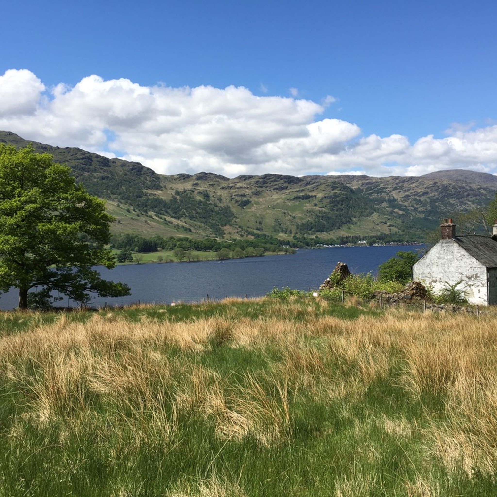
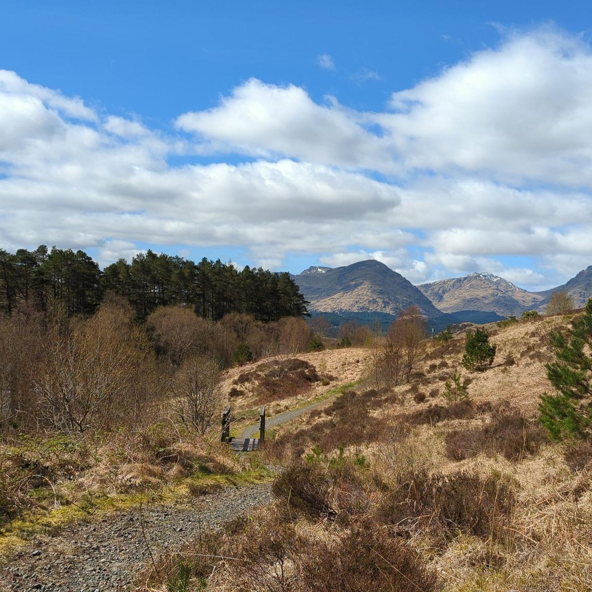
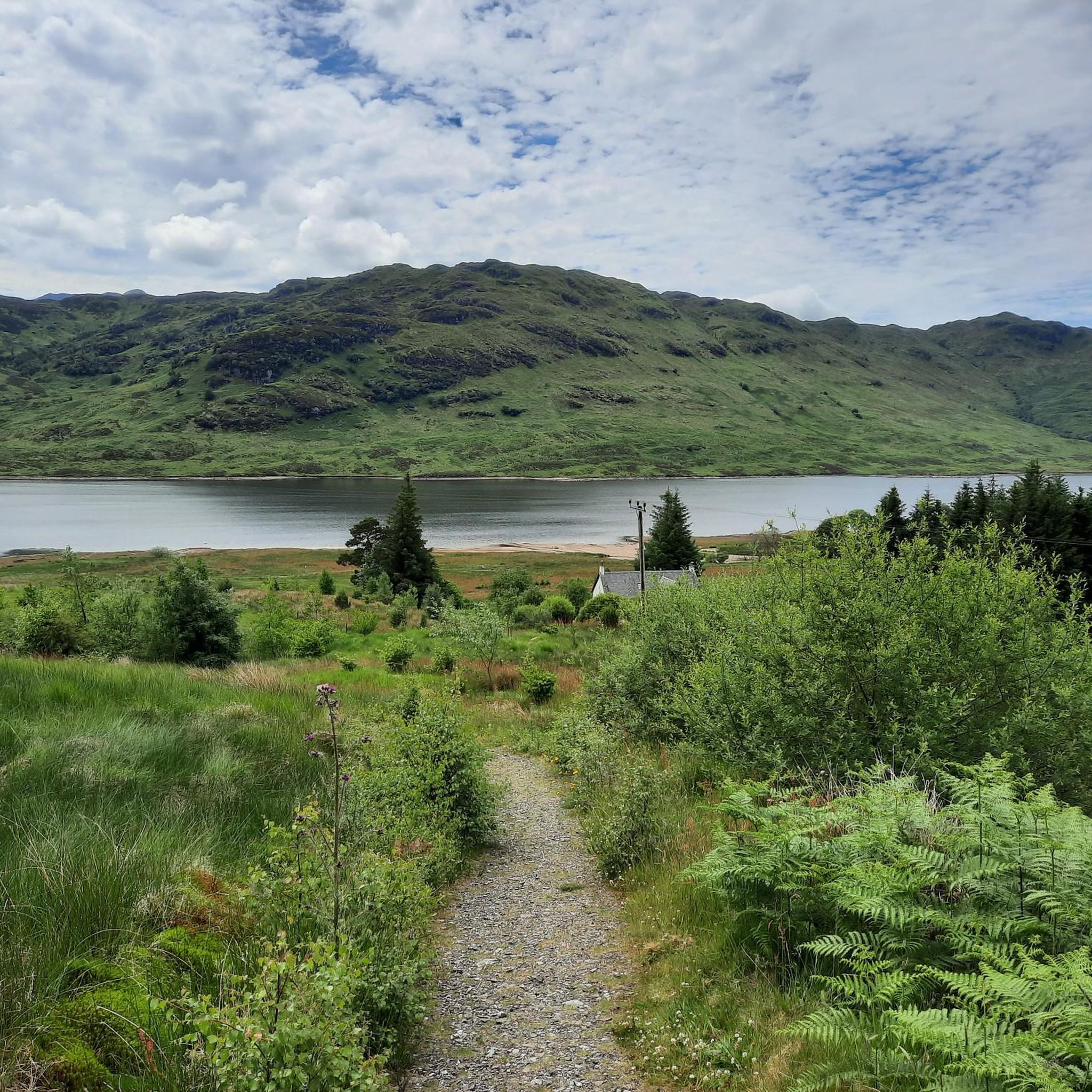
Road cycling routes around Loch Arklet are situated within Scotland's Trossachs National Park, offering diverse terrain for cyclists. The region features a freshwater reservoir, surrounded by hills and forests, with views of the Arrochar Alps and Ben Lomond. Cyclists can explore the historic Old Military Road, which provides a mostly paved and traffic-free surface. The area's natural features include the Inversnaid Falls and connections to Loch Lomond and Loch Katrine.
Best road cycling routes around Loch Arklet
- The most popular…
Last updated: October 2, 2026
5.0
(1)
6
riders
Easy road ride. Great for any fitness level. Mostly well-paved surfaces and easy to ride.
3.0
(1)
5
riders
50.4km
02:34
740m
740m
Moderate road ride. Good fitness required. Mostly well-paved surfaces and easy to ride.

18
riders
Moderate road ride. Good fitness required. Mostly well-paved surfaces and easy to ride.
63
riders
Moderate road ride. Good fitness required. Some segments of this route may be unpaved and difficult to ride.
14
riders
Moderate road ride. Good fitness required. Mostly well-paved surfaces and easy to ride.
Get access to more routes and recommendations from other explorers.
Already have an account?
Our route recommendations are based on thousands of hikes, rides, and runs completed by other people on komoot.
Start today with a free account
Your next adventure awaits.
Tips from the Community

Loch Long is a sea loch in Argyll and Bute. The loch originates from the Firth of Clyde and runs to the Arrochar Alps. The loch is approximately 30 km long and about 2 to 3 km wide. Historically, Loch Long was the border between Argyll and Dunbartonshire. A redrawing of the borders in 1996 meant that the sea loch came to lie entirely within Argyll and Bute. (Wikipedia)
6
0


What a great place for a walk along the river!!
0
0

Mostly very quiet road but look out for motorbikes! Very good road surface in most places, lovely views all the way into Arrochar
0
0

Interesting information about the restoration of the pier can be found on https://piers.org.uk/piers/helensburgh-pier
0
0
The John Muir Way stretches for 134 miles or 215 km between Helensburgh on the west coast through Scotland's heartland to Dunbar in the east. You'll find ample information on (the photo of) an information board, attached to this highlight.
0
0

Ducks and swans and many other birds. They get up close and personal too.
0
0

Keep an eye on the news, the 2 new aircraft carriers come up a couple of time a year to rearm.
0
0
Frequently Asked Questions
How many road cycling routes are available around Loch Arklet?
There are over 10 road cycling routes available around Loch Arklet on komoot, offering diverse options for different skill levels. These routes are highly rated by the komoot community, with an average score of 4.5 stars.
Are there road cycling routes suitable for beginners around Loch Arklet?
Yes, there are routes suitable for beginners. For example, the MacGregors' Burial Ground – Loch Katrine Pier Cafe loop from Eilean Dharag is an easy 10.2-mile (16.5 km) route with minimal elevation gain, offering scenic views around Loch Katrine.
What kind of challenges can advanced road cyclists expect near Loch Arklet?
Advanced road cyclists can find challenging routes with significant elevation gains. The Ardgartan, Loch Long – Rest and Be Thankful Climb loop from Inversnaid is a moderate 31.4-mile (50.5 km) path that includes substantial climbing and offers views of Loch Long and the Arrochar Alps.
Are there any circular road cycling routes around Loch Arklet?
Yes, many routes in the area are circular, allowing you to start and finish at the same point. The Tarbet, Hell's Glen & Rest and Be Thankful loop is a popular 30.2-mile (48.7 km) circular route through Loch Lomond & The Trossachs National Park.
What are the best viewpoints or natural features to see while cycling around Loch Arklet?
The region is rich in natural beauty. Cyclists can enjoy stunning views of the Arrochar Alps and Ben Lomond. The historic Old Military Road offers picturesque vistas, and you might also encounter the impressive Inversnaid Falls. The tranquil waters of Loch Arklet itself, reflecting the surrounding hills, provide a beautiful backdrop.
Are there any historical landmarks or attractions along the road cycling routes?
Yes, beyond the natural scenery, you can discover historical points of interest. The area features a Victorian-era dam on Loch Arklet's western bank and a quaint boat house. Corrie Arklet Farm, on the loch's shore, is noted as the wedding site of the infamous outlaw Rob Roy MacGregor.
What is the best time of year for road biking around Loch Arklet?
The best time for road biking around Loch Arklet is generally from spring to autumn, when the weather is milder and daylight hours are longer. The Trossachs National Park offers stunning scenery during these seasons, though conditions can change rapidly, so it's always wise to check the forecast.
Are there cafes or facilities available along the cycling routes near Loch Arklet?
While specific facilities vary by route, some longer circuits that incorporate Loch Arklet, such as those linking to Loch Katrine, offer convenient stops. For example, cafes and waterbus connections can be found at Stronachlachar pier, providing refreshment options during your ride.
What do other road cyclists enjoy most about road cycling in Loch Arklet?
The area is highly rated by the komoot community, with an average score of 4.5 stars. Reviewers often praise the dramatic mountainous backdrops, tranquil waters, and the mostly traffic-free historic Old Military Road, which provides a peaceful and scenic riding experience.
Is there parking available for road cyclists visiting Loch Arklet?
While specific parking locations depend on your chosen starting point, the region, being part of a National Park, typically offers designated parking areas at popular trailheads or nearby villages. It's advisable to research parking options for your specific route in advance.
Can I combine road cycling with other activities or explore nearby areas from Loch Arklet?
Absolutely. Loch Arklet's strategic location between Loch Lomond and Loch Katrine makes it an ideal base for exploring a wider array of Scotland's serene countryside. Many cycling routes connect these lochs, allowing for longer, immersive adventures and opportunities to enjoy other outdoor pursuits.
Most popular routes around Loch Arklet

Get inspired with the komoot mobile app


Explore more
Browse the best Road cycling routes in other regions.
