The best running trails around Loch Buidhe
4.9
(5)
313
runners
8
runs
Jogging around Loch Buidhe offers access to the expansive Rannoch Moor, a high plateau characterized by its rugged terrain and dramatic scenery. The loch itself is a freshwater body situated at an elevation of 298 meters, with the surrounding area providing views of mountains such as Stob a' Choire Odhair and Stob Ghabhar. The River Bà, a primary inflow to Loch Buidhe, also traverses this landscape. This region provides a challenging environment for trail running, with significant elevation changes and…
Last updated: October 30, 2026
31
runners
22.3km
03:52
1,200m
1,200m
Hard run. Very good fitness required. Sure-footedness, sturdy shoes and alpine experience required.
5.0
(1)
37
runners
16.6km
04:17
1,120m
1,120m
Hard run. Very good fitness required. Sure-footedness, sturdy shoes and alpine experience required.

22.6km
04:10
1,160m
1,160m
Hard run. Very good fitness required. Sure-footedness, sturdy shoes and alpine experience required.
5.0
(1)
54
runners
Hard run. Very good fitness required. Mostly paved surfaces.
28
runners
15.3km
01:59
410m
410m
Hard run. Very good fitness required. Mostly paved surfaces.
Get access to more routes and recommendations from other explorers.
Already have an account?
Our route recommendations are based on thousands of hikes, rides, and runs completed by other people on komoot.
Start today with a free account
Your next adventure awaits.
Popular around Loch Buidhe
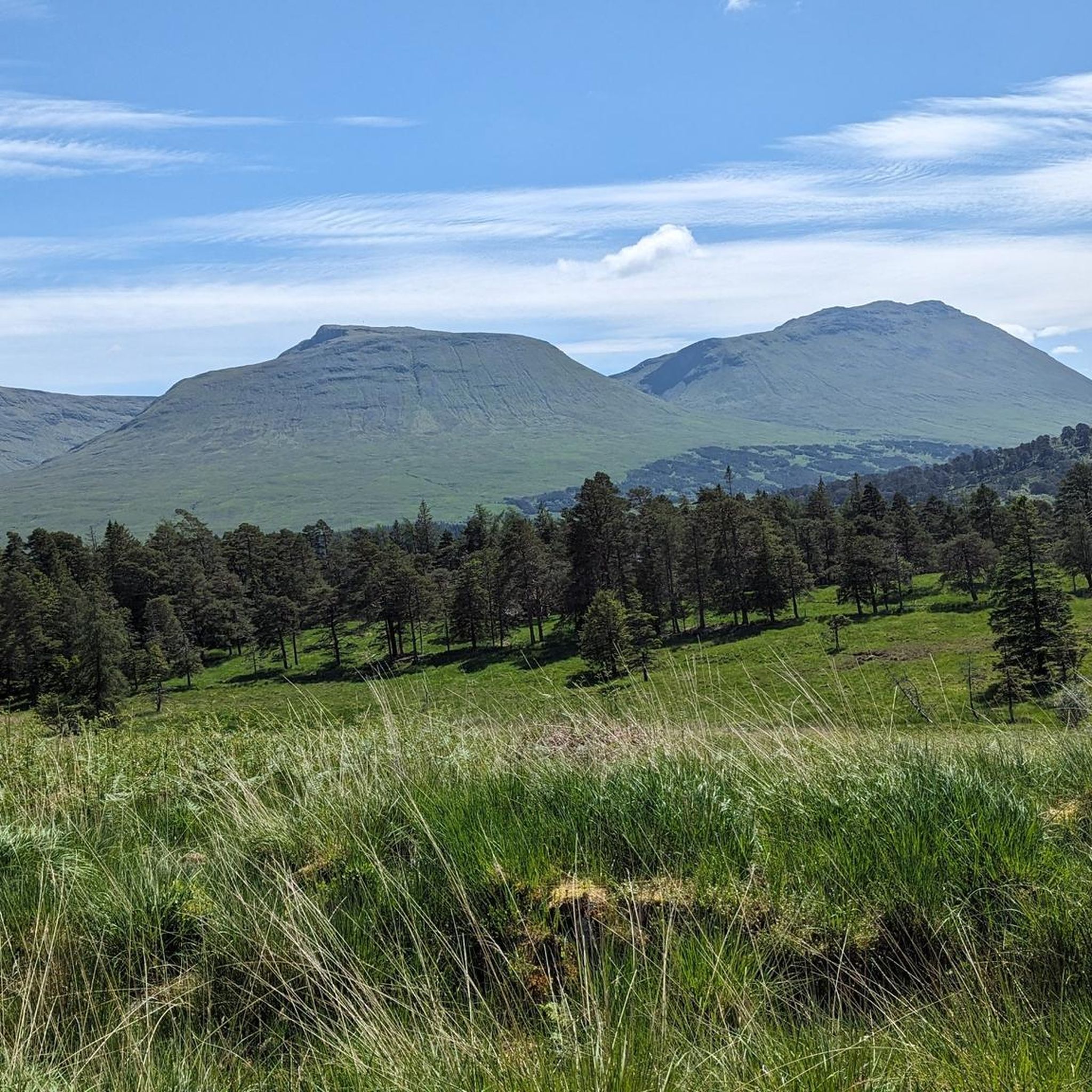
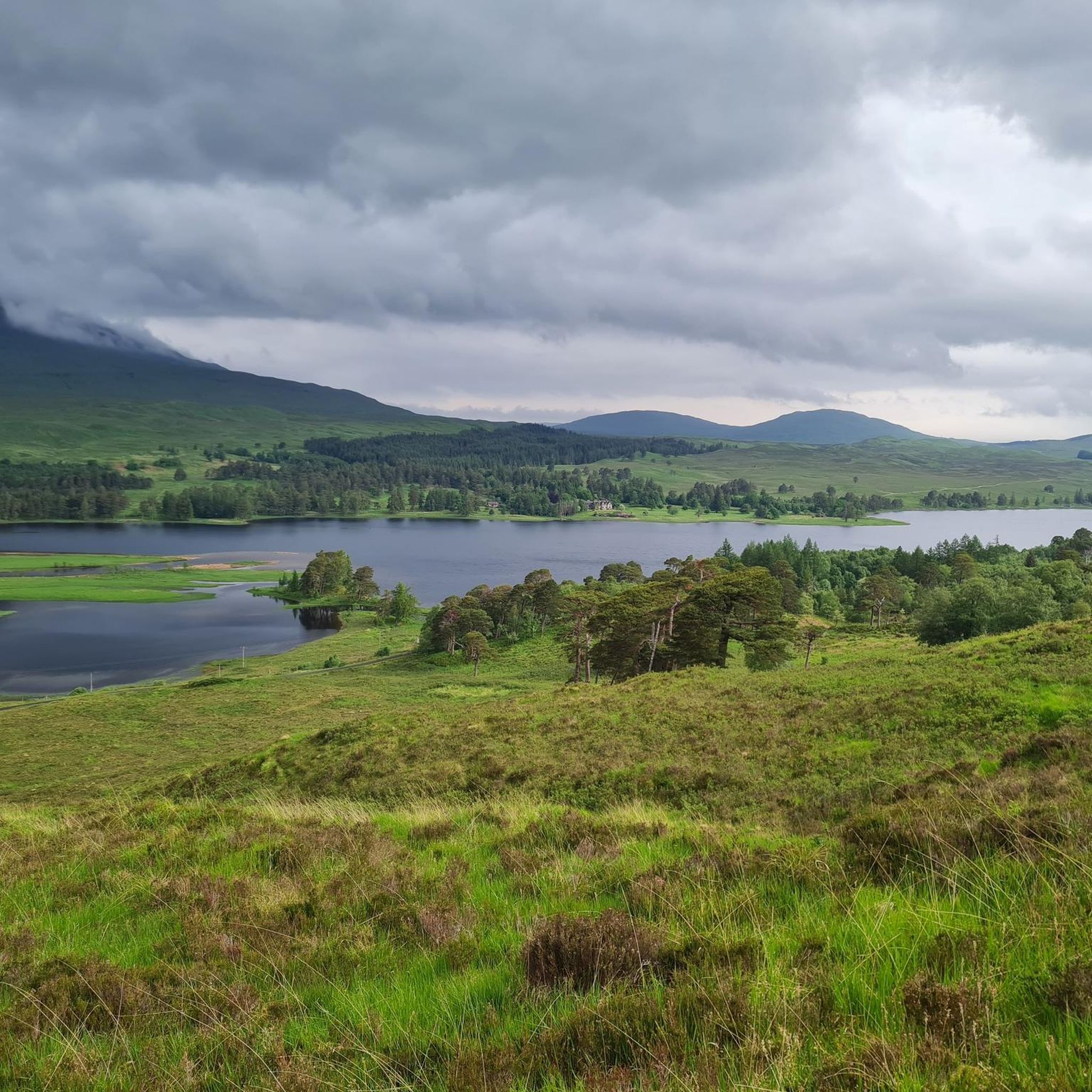
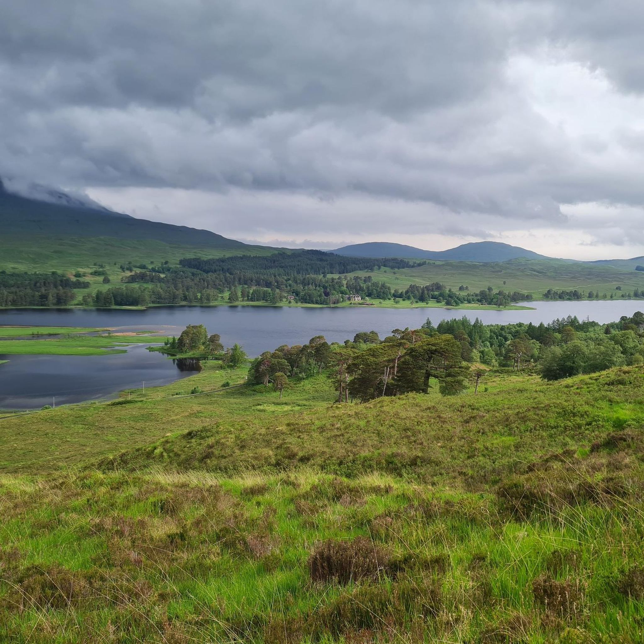
Tips from the Community

Rannoch Moor is one of Europe's last great, untouched wildernesses in the Scottish Highlands. The approximately 130 square kilometre, peaty moorland landscape fascinates with vast heathlands, deep bogs, rivers, and lonely lochs. The famous West Highland Way long-distance trail and the West Highland Line railway cross this rough, magical plain. It is flanked by majestic mountain peaks such as the iconic Buachaille Etive Mòr.
4
0

Imposing sight, especially when the weather is changeable.
0
0
Imposing landscape. On the West Highland Way, you walk into the valley and out the other side.
0
0

Excellent ridge route, a little exposed in places.
0
0
Not as exciting as it's neighbour but still worthwhile.
0
0
Frequently Asked Questions
What kind of terrain can I expect on running routes around Loch Buidhe?
The terrain around Loch Buidhe is characterized by the expansive and wild Rannoch Moor, offering a challenging environment for trail running. You'll encounter rugged landscapes, significant elevation changes, and varied ground conditions, including views of mountains like Stob a' Choire Odhair and Stob Ghabhar. Many routes feature sustained climbs and exposed ridge sections.
Are there any easy running routes suitable for beginners or a leisurely jog?
While many of the listed routes are challenging, the broader Rannoch Moor area does offer options for varying fitness levels. For a less strenuous option, consider the 2.82 km "View of Loch Tulla loop from Loch Tulla" which is described as easy and takes approximately 47 minutes, perfect for a leisurely jog. However, most routes directly around Loch Buidhe tend to be more demanding.
What are some of the natural features or viewpoints I can enjoy while running?
Jogging around Loch Buidhe offers stunning natural beauty. You'll experience serene loch views, the vast and untamed landscapes of Rannoch Moor, and dramatic mountain backdrops including Stob a' Choire Odhair and Stob Ghabhar. The area is also traversed by the River Bà, a primary inflow to Loch Buidhe. Routes like the Stob Ghabhar and Stob a'Choire Odhair trail running loop from Loch Tulla offer panoramic mountain views.
Are there any circular running routes available?
Yes, several routes around Loch Buidhe are designed as loops. For instance, the Stob Ghabhar and Stob a'Choire Odhair trail running loop from Loch Tulla is a challenging 16.6 km circular path. Another option is the Devil's Staircase – Kingshouse Hotel loop from Allt nan Giubhas, which is a longer 34.3 km trail.
What is the best time of year to go running in the Loch Buidhe area?
The Scottish Highlands, including Rannoch Moor, can experience varied weather. While specific recommendations depend on personal preference for conditions, generally, late spring to early autumn (May to September) offers the most favorable weather for outdoor activities, with longer daylight hours and milder temperatures. However, be prepared for changeable conditions at any time of year.
What do other runners say about the trails around Loch Buidhe?
The running routes in Loch Buidhe are highly rated by the komoot community, with an average score of 5.0 stars from over 3 reviews. More than 310 runners have used komoot to explore the varied and challenging terrain, often praising the expansive Rannoch Moor landscapes and demanding mountain ridges.
Are there any particularly challenging running routes for experienced trail runners?
Absolutely. The Loch Buidhe area is known for its demanding routes. The Beinn Achaladair and Beinn a'Chreachain ridge run is a difficult 22.3 km trail featuring sustained climbs and exposed ridge sections. Another rigorous option is the Aonach Eagach and Stob Ghabhar ridge run, covering 22.6 km with significant elevation.
Are the running trails around Loch Buidhe suitable for families?
Given the rugged terrain and significant elevation changes of many routes directly around Loch Buidhe, most are better suited for experienced runners. However, the wider Rannoch Moor area offers diverse options. For families, shorter, easier loops like the 2.82 km "View of Loch Tulla loop from Loch Tulla" might be more appropriate for a gentle walk or jog, though these are not part of the most challenging routes highlighted.
What kind of wildlife might I encounter on the trails?
Rannoch Moor is a wild and remote area, offering opportunities to spot various wildlife. Keep an eye out for red deer, which are common in the Highlands. Birdwatchers might enjoy seeing species adapted to moorland environments. The untamed nature of the landscape provides a habitat for diverse flora and fauna.
Is there parking available near the starting points of these running routes?
While specific parking details for every trailhead are not provided, areas like Bridge of Orchy, located about 9 kilometers south of Loch Buidhe, often serve as starting points for exploring the region and typically have parking facilities. For routes starting from Loch Tulla or other specific points, it's advisable to check local information for designated parking areas.
Can I access the running routes using public transport?
The West Highland Way, a famous long-distance path that passes by Loch Buidhe to its west, is accessible via public transport at various points. Bridge of Orchy, a common access point for the area, has a railway station on the West Highland Line, making it possible to reach the region by train. From there, you can connect to various trails.
Are there any shorter, but still challenging, running routes?
Yes, if you're looking for a challenging run that's not as long as the ridge runs, the View of Glencoe Valley – Red Downhill Trail loop from Creag Dubh is a difficult 7.7 km route. It offers significant elevation changes and views of Glencoe Valley, providing a rigorous workout in a shorter distance.
Most popular routes around Loch Buidhe

Get inspired with the komoot mobile app


Explore more
Browse the best Running Trails & Routes in other regions.
