The best walks and hikes around Loch Mealt
4.6
(3632)
19,797
hikers
34
hikes
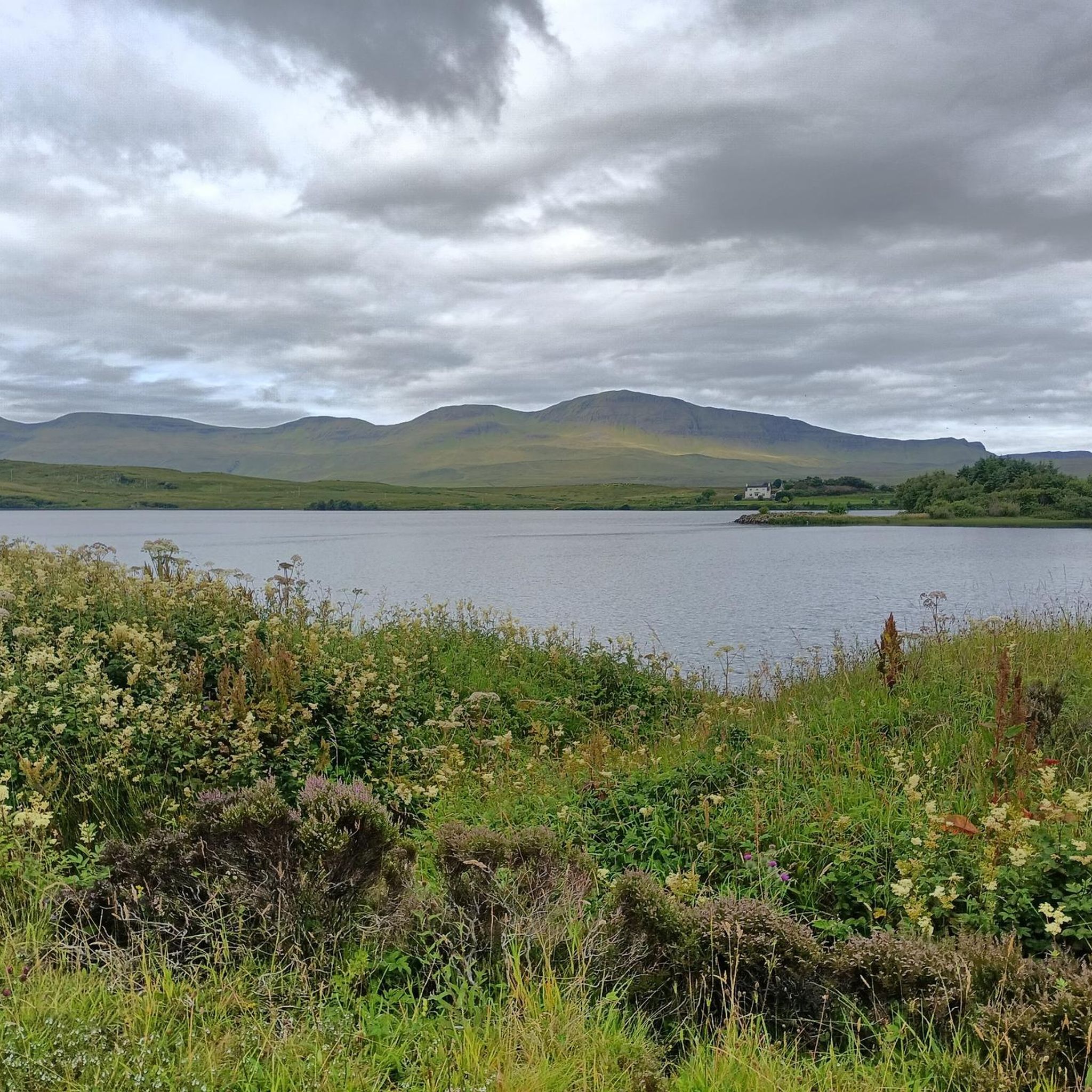
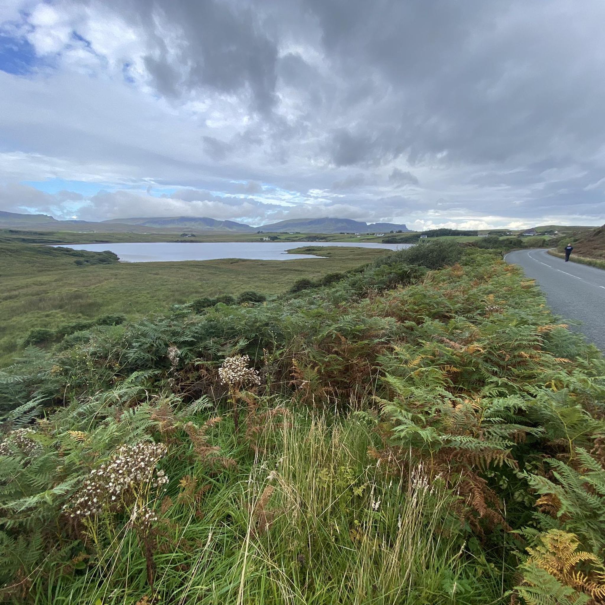
Hikes around Loch Mealt explore the dramatic landscape of the Trotternish peninsula on the Isle of Skye. The region is defined by its rugged coastline, high sea cliffs, and freshwater lochs situated near the sea. Many routes offer views of notable geological features, including Kilt Rock and Mealt Falls, which drops from the loch's edge directly into the Sound of Raasay.
Best hiking trails around Loch Mealt
- The most popular hiking route is Rubha nam Brathairean from Culnacnoc — Trotternish,…
Last updated: September 28, 2026
4.6
(88)
595
hikers
3.08km
00:53
80m
80m
Easy hike. Great for any fitness level. Easily-accessible paths. Suitable for all skill levels.
5.0
(10)
75
hikers
4.21km
01:13
100m
100m
Easy hike. Great for any fitness level. Easily-accessible paths. Suitable for all skill levels.

4.4
(61)
280
hikers
Easy hike. Great for any fitness level. Easily-accessible paths. Suitable for all skill levels.
4.8
(5)
29
hikers
1.37km
00:25
50m
50m
Easy hike. Great for any fitness level. Easily-accessible paths. Suitable for all skill levels.
4.8
(55)
268
hikers
18.0km
05:57
560m
560m
Hard hike. Very good fitness required. Sure-footedness, sturdy shoes and alpine experience required.
Get access to more routes and recommendations from other explorers.
Already have an account?
Our route recommendations are based on thousands of hikes, rides, and runs completed by other people on komoot.
Start today with a free account
Your next adventure awaits.
Popular around Loch Mealt
Tips from the Community

Only went along the shore to do a bit of fishing but cliffs along the top looks good
0
0

The Quiraing on the Isle of Skye is a spectacular landscape of rugged rocks, steep slopes, and green plateaus on the Trotternish Peninsula. It was formed by massive landslips, which are still active today and constantly changing the shape of the landscape. The area is known for distinctive formations such as The Needle, The Prison, and The Table. The Quiraing offers some of Scotland's most impressive views and is a popular destination for hikers and photographers. Its dramatic scenery gives it an almost mystical atmosphere.
0
0
Creag Loisgte is a lesser-known but distinctive ridge on the Trotternish Peninsula of the Isle of Skye. It is located near the Quiraing and is part of the dramatic landscape formed by landslides and volcanic processes. The name comes from Gaelic and roughly means 'burnt rock', referring to the dark basalt formations. Creag Loisgte offers wide views over the rugged coastline and is appreciated by hikers who wish to experience the island's quiet, pristine nature away from the well-trodden paths.
0
0
The Quiraing on the Isle of Skye is a spectacular landscape of rugged cliffs, steep slopes, and green plateaus on the Trotternish Peninsula. It was formed by massive landslides that are still active today, constantly changing the shape of the landscape. The area is known for distinctive formations such as The Needle, The Prison, and The Table. The Quiraing offers some of Scotland's most impressive views and is a popular destination for hikers and photographers. Its dramatic scenery gives it an almost mystical atmosphere.
0
0
The Quiraing on the Isle of Skye is a spectacular landscape of rugged rocks, steep slopes, and green plateaus on the Trotternish Peninsula. It was formed by massive landslides, which are still active today and constantly changing the shape of the landscape. The area is known for distinctive formations such as The Needle, The Prison, and The Table. The Quiraing offers some of Scotland's most impressive views and is a popular destination for hikers and photographers. Its dramatic scenery gives it an almost mystical atmosphere.
0
0
The Needle at the Quiraing on the Isle of Skye is a slender, steeply rising rock column that stands out from the landscape like a natural needle. It was formed by massive landslide movements that continue to shape the area today. Erosion exposed the rock and sculpted it into this distinctive form. The Needle is one of the most famous sights in the Quiraing and a popular photo motif. Together with formations like The Prison, it shapes the dramatic, almost unreal landscape of the Trotternish Peninsula.
0
0
The Quiraing on the Isle of Skye is a spectacular landscape of rugged rocks, steep slopes, and green plateaus on the Trotternish Peninsula. It was formed by massive landslides that are still active today, constantly changing the shape of the landscape. The area is known for distinctive formations such as The Needle, The Prison, and The Table. The Quiraing offers some of Scotland's most impressive views and is a popular destination for hikers and photographers. Its dramatic scenery gives it an almost mystical atmosphere.
0
0
The Prison am Quiraing on the Isle of Skye is a striking rock formation with steep, almost vertical walls, reminiscent of a natural fortress or prison – hence the name. It was formed by ancient landslides that shaped the terrain of the Trotternish Peninsula and continue to change it slightly to this day. The Prison is one of the most famous geological landmarks of the Quiraing and is particularly popular with hikers and photographers. From here, you can enjoy impressive views of the island's rugged, dramatic landscape.
0
0
Frequently Asked Questions
Are there any easy, family-friendly walks near Loch Mealt?
Yes, the area is well-suited for families. For a very short and accessible walk, there is a paved path from the main car park to the Kilt Rock and Mealt Falls viewpoint. For a slightly longer but still easy hike, the Seal Viewpoint – View of Kilt Rock loop from Staffin is a great option, taking less than 30 minutes to complete and offering fantastic coastal scenery.
How can I see the Mealt Falls waterfall?
The most direct way to see Mealt Falls is from the dedicated viewpoint right next to Kilt Rock. It's just a short, paved walk from the main public car park and is accessible for all fitness levels. The view shows the waterfall plunging 55 meters over the cliffs into the sea. For another impressive waterfall experience nearby, consider visiting the highly-regarded Lealt Falls.
Where is the best place to park for hikes around Loch Mealt?
The main parking area is the Kilt Rock & Mealt Falls Viewpoint Public Parking, which is ideal for visiting the famous viewpoint. For specific trails, it's best to use the designated parking at the trailhead. For example, hikes into the Quiraing have their own car parks, which can get very busy, so arriving early is recommended.
Can I find any circular walks in the region?
Yes, there are several excellent circular routes. While there isn't a formal trail looping around Loch Mealt itself, you can enjoy the Cliffs of Staffin – View of Uig Bay and Cliffs loop from Staffin. This trail is a moderate loop of about 4 km that provides stunning views of the cliffs and Uig Bay.
What are the trail conditions typically like around Loch Mealt?
Trail conditions vary significantly. Paths to major viewpoints like Kilt Rock are often paved and well-maintained. However, many coastal and moorland trails, such as the path to Rubha nam Brathairean, can be very boggy and muddy, especially after rain. Sturdy, waterproof hiking boots are essential for most routes in this area.
Are dogs allowed on the hiking trails?
Dogs are generally welcome on trails, but it is crucial to keep them on a lead. The area is active farmland with grazing sheep and cattle. Also, many trails run alongside exposed cliff edges, so keeping your dog under close control is vital for their safety and the protection of livestock.
What's a good hike for dramatic coastal views?
For a relatively short hike with rewarding coastal scenery, the Rubha nam Brathairean from Culnacnoc trail is an excellent choice. This out-and-back route leads you to a beautiful headland known as Brother's Point, offering panoramic views across the Sound of Raasay. Be prepared for some boggy sections.
Are there any challenging hikes for experienced walkers?
Absolutely. The area is a gateway to some of Skye's most demanding hikes. A short drive from Loch Mealt is the trailhead for the Quiraing Hiking Trail, a difficult 18.5 km loop through a spectacular and otherworldly landscape of landslips. It requires a high level of fitness and navigation skills.
Can I see any interesting geological features or wildlife on the trails?
Yes, the region is rich in both. Besides the famous Kilt Rock, you can search for dinosaur footprints on the beach at An Corran by following the An Corran dinosaur footprint loop. The coastal paths are also great for spotting seabirds, and seals are often seen from the shore.
How many hiking trails are available around Loch Mealt?
You can explore over 35 different hiking routes around Loch Mealt. The trails range from short, easy viewpoint walks suitable for any fitness level to strenuous, full-day mountain hikes, offering a wide variety of options for every type of hiker.
What do other hikers enjoy most about the Loch Mealt area?
The area is highly rated by the komoot community, with an average score of 4.7 stars. Hikers frequently praise the dramatic and unique landscapes where the sea meets the cliffs. The accessibility of stunning views like Mealt Falls and Kilt Rock, combined with the option for more rugged adventures in the Quiraing, is a major highlight.

Get inspired with the komoot mobile app


Explore more
Browse the best Hikes in other regions.
