The best mountain hikes around Lago di Cavedine
4.7
(448)
3,549
hikers
14
hikes
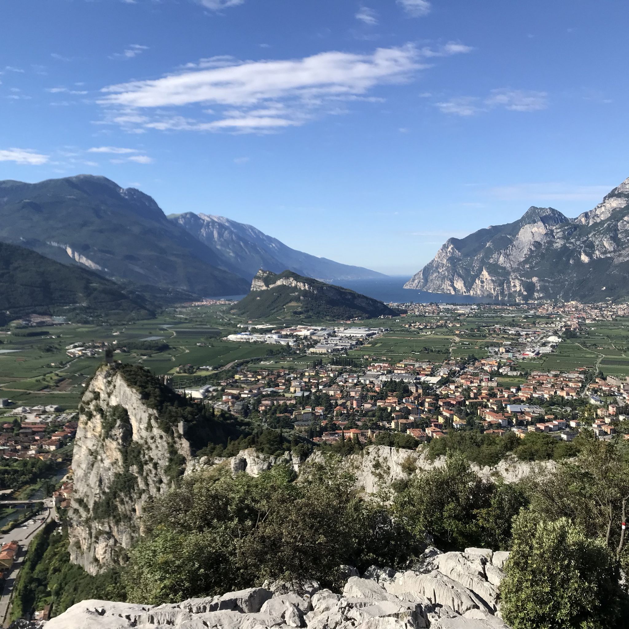
Mountaineering routes around Lago di Cavedine are characterized by a diverse landscape, featuring steep rock faces, via ferratas, and unique geological formations. The region is situated in Trentino, offering a mix of challenging ascents and paths through distinctive natural areas. Elevations vary, with some routes leading to peaks like Garzolet, providing panoramic views of the surrounding terrain.
Best mountaineering routes around Lago di Cavedine
- The most popular mountaineering route is Via ferrata Rio Sallagoni, a 1.7 mile (2.7 km)…
Last updated: October 9, 2026
4.9
(56)
287
hikers
2.72km
01:27
170m
170m
Hard mountaineering route. Great for any fitness level. Sure-footedness, sturdy shoes and alpine experience required.
4.7
(16)
147
hikers
6.41km
04:46
700m
700m
Hard mountaineering route. Good fitness required. Sure-footedness, sturdy shoes and alpine experience required.

4.9
(8)
44
hikers
8.77km
05:05
720m
720m
Hard mountaineering route. Very good fitness required. Sure-footedness, sturdy shoes and alpine experience required.
5.0
(4)
37
hikers
11.6km
04:54
730m
730m
Hard mountaineering route. Good fitness required. Sure-footedness, sturdy shoes and alpine experience required.
4.8
(24)
148
hikers
8.21km
03:36
480m
480m
Hard mountaineering route. Good fitness required. Sure-footedness, sturdy shoes and alpine experience required.
Get access to more routes and recommendations from other explorers.
Already have an account?
Our route recommendations are based on thousands of hikes, rides, and runs completed by other people on komoot.
Start today with a free account
Your next adventure awaits.
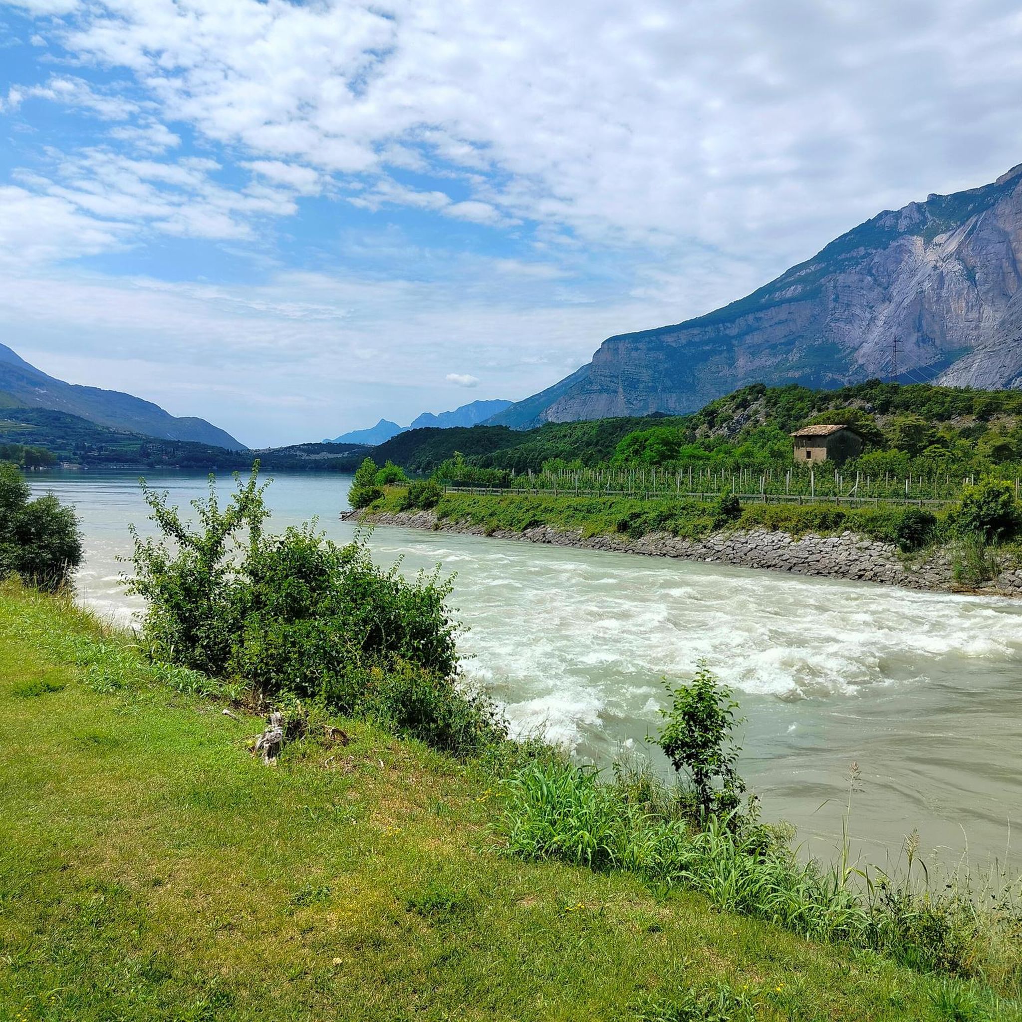
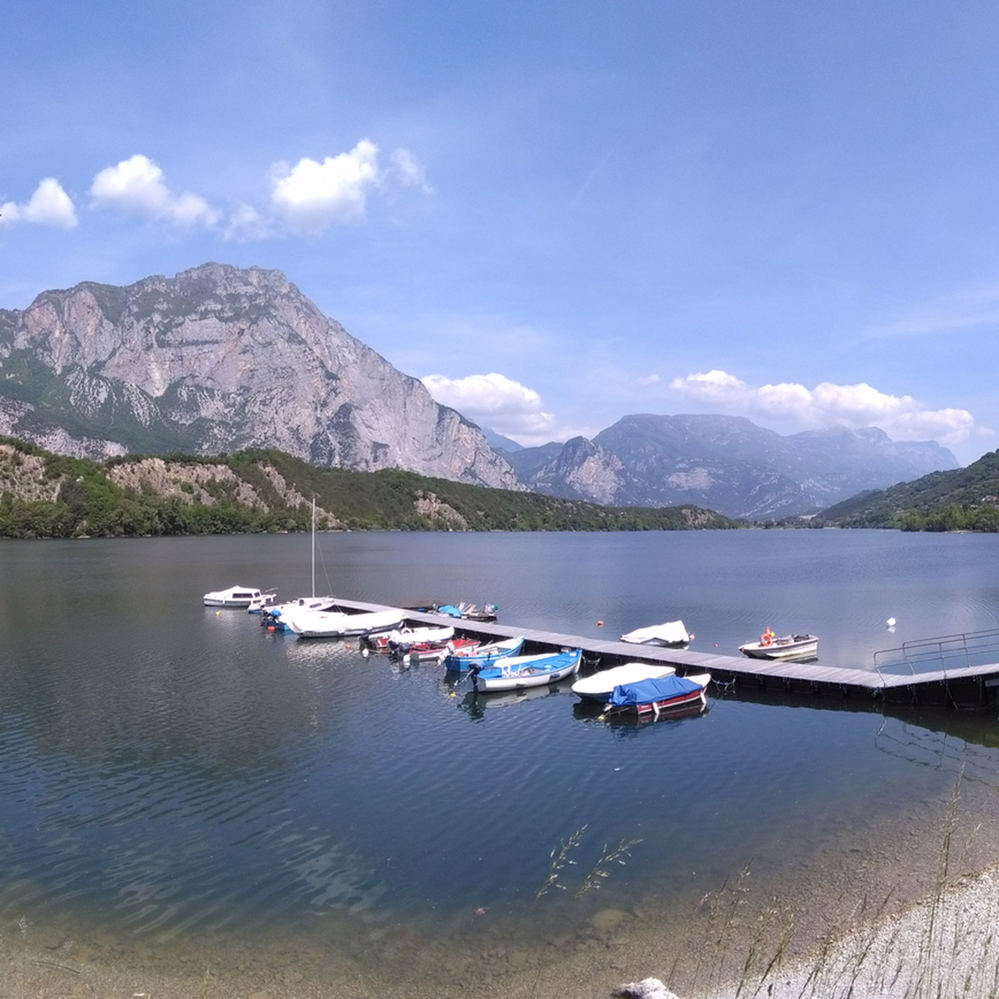
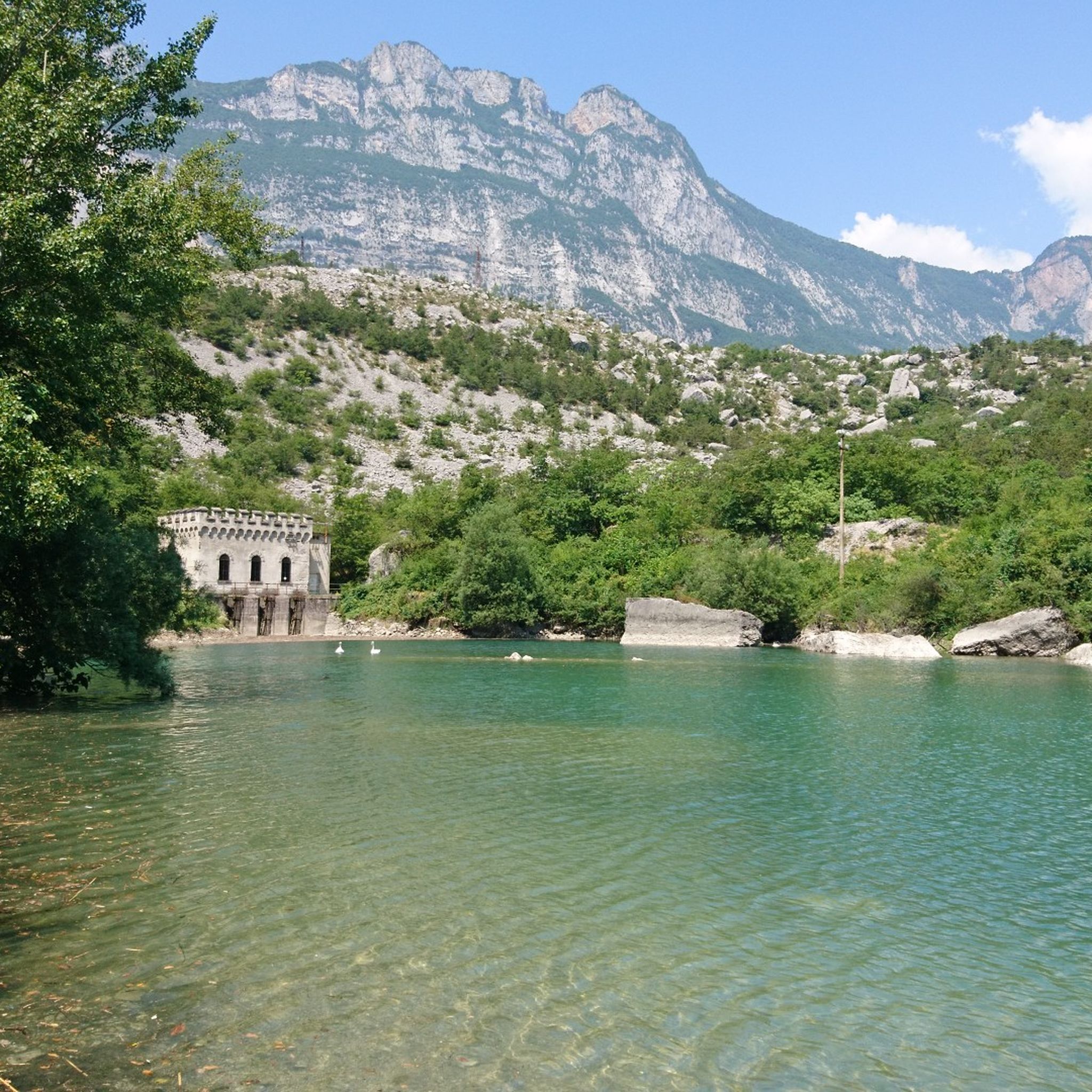
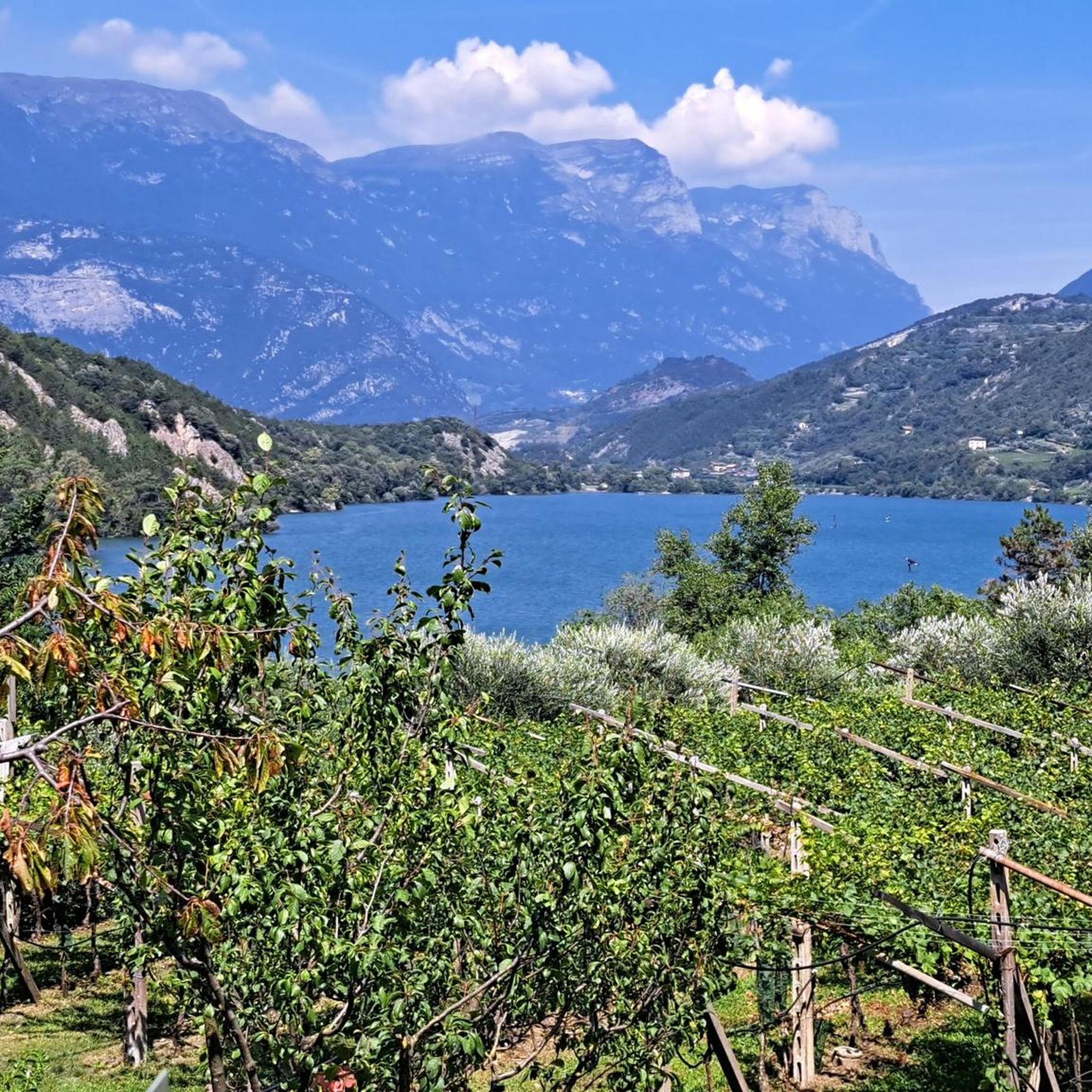

Tips from the Community

Short reaction: Difficulties are always subjective. Here, in most tour descriptions, the first few meters are considered the most difficult. At https://klettersteig.de/klettersteig/via_ferrata_rino_pisetta/760, for example, it is also classified as D if you have the right shoes, which confirms the dependence on foot technique. Everyone must make their own risk assessment based on their own skills and experience, and an emergency plan should be made in advance - there are various options here, but it is worth taking a suitable course for everyone.
1
0

Even in spring 2026: an extremely well-maintained alpine hut for self-use and payment on an honor system...we are glad that such traditions are still "kept alive" - respect to everyone who has contributed to this since 2001 and "thank you!"
0
0

THE EXTRAORDINARY COMMISSIONER Whereas on the afternoon of Tuesday, 14 October 2025, a rock slab detached from Mount Garzolet, affecting the route of the "Ferrata Pisetta"; Considering that this event constitutes a potential danger to public safety, particularly for hikers and climbers who frequent the area; Deeming it therefore essential, in order to ensure public safety, to order the temporary closure of access to the "Ferrata Pisetta" until the completion of the necessary inspections; Having regard to the provisions of the Code of Local Authorities (C.E.L.), approved by Regional Law of 3 May 2018, No. 2, and in particular Article 61; Deeming it appropgiate to establish a prohibition of access to the affected area in order to prevent accidents or damage persons or property;
2
0

Beautiful path above Dro.
0
0
Small path secured with steel cables.
0
0

Beautiful panorama but strength in the arms is a prerequisite for this via ferrata, I suggest taking enough to drink with you!
2
0

You can only walk this if you can secure yourself. We had to go back unfortunately.
0
0

This beautiful picnic area offers great shelter from the sun. From here you can enjoy a magnificent view of Lake Cavedine, Dro and the surrounding mountains. A truly great place to make a memorable stop!
0
0
Frequently Asked Questions
How many mountaineering routes are available around Lago di Cavedine?
There are nearly 20 distinct mountaineering routes around Lago di Cavedine, offering a variety of experiences from easy walks to challenging via ferratas.
Are there any easy mountaineering routes suitable for beginners or families?
Yes, while many routes are challenging, there are options for those seeking an easier experience. For instance, the Biotopo delle Marocche Trail loop from Drena is an easy 3.7-mile path that explores a unique rockfall landscape, suitable for families or beginners.
What is the best time of year for mountaineering in the Lago di Cavedine region?
The best time for mountaineering around Lago di Cavedine is typically from spring through autumn (May to October). During these months, the weather is generally more stable, and trails are clear of snow, making conditions ideal for exploring the diverse terrain and via ferratas.
What kind of gear is recommended for mountaineering in Lago di Cavedine, especially for via ferratas?
For via ferratas, essential gear includes a helmet, a via ferrata set (lanyard with two carabiners and an energy absorber), and a climbing harness. Sturdy hiking boots with good ankle support are crucial for all routes, and trekking poles can be beneficial on steeper sections. Always check specific route requirements before you go.
Are there any circular mountaineering routes around Lago di Cavedine?
Yes, several routes offer a circular experience, allowing you to return to your starting point without retracing your steps. An example is the challenging Via Ferrata Rino Pisetta – Garzolet Peak (961 m) loop from Sarche, which provides a full circuit with technical sections and panoramic views.
What can I see along the mountaineering routes or nearby Lago di Cavedine?
The region offers a blend of natural beauty and unique geological features. Along the routes, you can experience the distinctive "Marocche" rockfall landscape. Nearby, you can explore Lake Cavedine itself, or follow the S1 Trail to Lake Cavedine for scenic views.
Are there challenging routes for experienced mountaineers?
Absolutely. Lago di Cavedine is known for its challenging terrain, particularly its via ferratas. The Via ferrata Rio Sallagoni is a popular and demanding route through a narrow gorge, while the Rocky Cliffside Steps – Garzolet Peak (961 m) loop from Sarche offers a longer, strenuous ascent to a peak.
Where can I find parking for the mountaineering trailheads?
Parking is generally available near the starting points of the main routes. For routes originating from Sarche, such as the Garzolet Peak loops, you'll typically find parking in or around the village. Similarly, routes starting from Drena or Ranzo will have designated parking areas nearby. It's always advisable to check specific trailhead information before your trip.
What do other mountaineers enjoy most about the routes in Lago di Cavedine?
The routes in Lago di Cavedine are highly rated by the komoot community, with an average score of 4.8 stars. Reviewers often praise the thrilling via ferratas, the unique geological formations like the Marocche, and the panoramic views from the peaks. The diverse terrain offers something for various skill levels, making it a popular destination.
Are there any less crowded mountaineering options if I prefer solitude?
While popular routes like Via ferrata Rio Sallagoni can see more traffic, exploring some of the longer or slightly less-known difficult routes, such as the Rocky Cliffside Steps – Via Ferrata Rino Pisetta loop from Ranzo, might offer a more secluded experience, especially during off-peak hours or weekdays. The sheer number of routes also allows for spreading out.
Can I find places to eat or drink near the mountaineering trails?
Yes, the region around Lago di Cavedine has options for refreshments. You might find local eateries or trattorias in nearby villages like Sarche, Drena, or Ranzo. Additionally, the Lido Paradise Restaurant, Lake Cavedine is a highlight that offers a place to relax and eat by the lake after your mountaineering adventure.
Most popular routes around Lago di Cavedine
Most popular attractions around Lago di Cavedine

Get inspired with the komoot mobile app


Explore more
Browse the best Mountain Hikes & Routes in other regions.
