The best mountain hikes around Lake del Careser
4.8
(79)
584
hikers
22
hikes
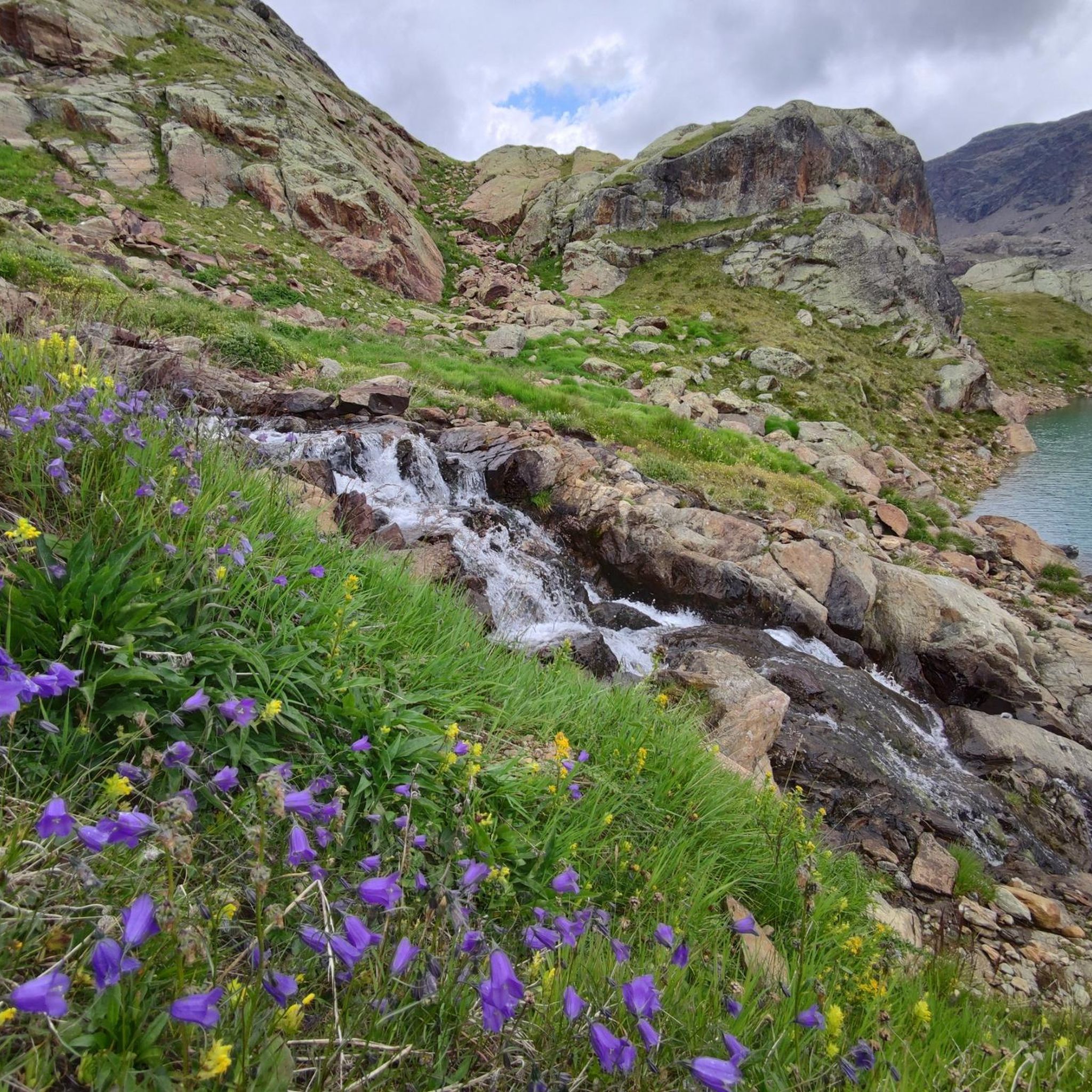
Mountaineering routes around Lake del Careser are situated in a high-alpine environment within the Ortles-Cevedale group and Stelvio National Park. This region features snow-capped mountains, glacial waters, and an artificial lake created for hydroelectric purposes. The landscape is characterized by towering peaks, such as Cima Lagolungo and Cima Marmotta, and is influenced by the Careser glacier, which feeds the lake. The area also includes other alpine lakes like Marmotte Lake, Lungo Lake, and Nero Lake, offering diverse terrain for mountaineering.
…Last updated: August 1, 2026
5.0
(1)
6
hikers
19.8km
09:35
1,460m
1,470m
Hard mountaineering route. Very good fitness required. Sure-footedness, sturdy shoes and alpine experience required.
4.8
(12)
72
hikers
Hard mountaineering route. Good fitness required. Sure-footedness, sturdy shoes and alpine experience required.

Sign up for free
4.8
(18)
126
hikers
Hard mountaineering route. Very good fitness required. Sure-footedness, sturdy shoes and alpine experience required.
4.8
(5)
58
hikers
Hard mountaineering route. Very good fitness required. Sure-footedness, sturdy shoes and alpine experience required.
5.0
(3)
40
hikers
12.1km
07:46
1,290m
1,290m
Hard mountaineering route. Very good fitness required. Sure-footedness, sturdy shoes and alpine experience required.
Get access to more routes and recommendations from other explorers.
Sign up for free
Already have an account?
Our route recommendations are based on thousands of hikes, rides, and runs completed by other people on komoot.
Start today with a free account
Your next adventure awaits.
Login or Signup

Tips from the Community

A sweet rock monster laughs at the hikers here. Compliments to those who had the idea to design this stone biter here.
0
0
The little church stands as a symbol of defense against the Italian Alpini on the Ortler front in World War I. The riflemen, in particular, keep the troops of that time in honor. I particularly regret that people had to face each other and fight each other - in an inhospitable, unwelcoming environment. And often even people who knew each other and had previously settled the mountains together from two sides.
0
0
Here the paths branch off, one leads towards Mutspitze, which we take, the other towards Madritschsspitze. And if I remember correctly, it also goes up to the other peaks between Cevedale and the Ortler range here or a little further down.
0
0
From the end of the valley in Val Martello, it is almost constantly a gentle, though in places steep, ascent - the last section secured with a rope, but easily manageable for experienced hikers. At the top, a dream view in all directions with the combination of Zufallspitzen/Cevedale and further the trio Ortler-Zebru-Königsspitze. Rather sad is the fact of watching the glacier remnants melt away.
0
0

There are two paths from the valley to the main ridge, the upper one, which I took, is semi-passable, you have to pay close attention to the markings
0
0


“And since in the Sacred Heart there is a symbol and a tangible image of the infinite love of Jesus Christ, which moves us to love one another, it is therefore fitting that we consecrate ourselves to His Most Sacred Heart—an act that is nothing other than a sacrifice and a commitment to Jesus Christ, for all the honor, veneration, and love accorded to this divine Heart are truly and genuinely given to Christ Himself.” (Pope Leo XIII, “Annum Sacrum,” 1899)
1
0
Frequently Asked Questions
How many mountaineering routes are available around Lake del Careser?
There are 29 mountaineering routes around Lake del Careser listed on komoot. These range from moderate to difficult, with 8 moderate and 21 difficult options available.
What kind of landscapes can I expect on mountaineering routes near Lake del Careser?
Mountaineering routes around Lake del Careser traverse a high-alpine environment within the Ortles-Cevedale group and Stelvio National Park. You'll experience snow-capped mountains, glacial-fed lakes, and dramatic peaks like Monte Vioz and the Cevedale range. The area also features other alpine lakes such as Lago delle Marmotte, Lago Lungo, and Lago Nero.
Are there any notable landmarks or points of interest along the mountaineering routes?
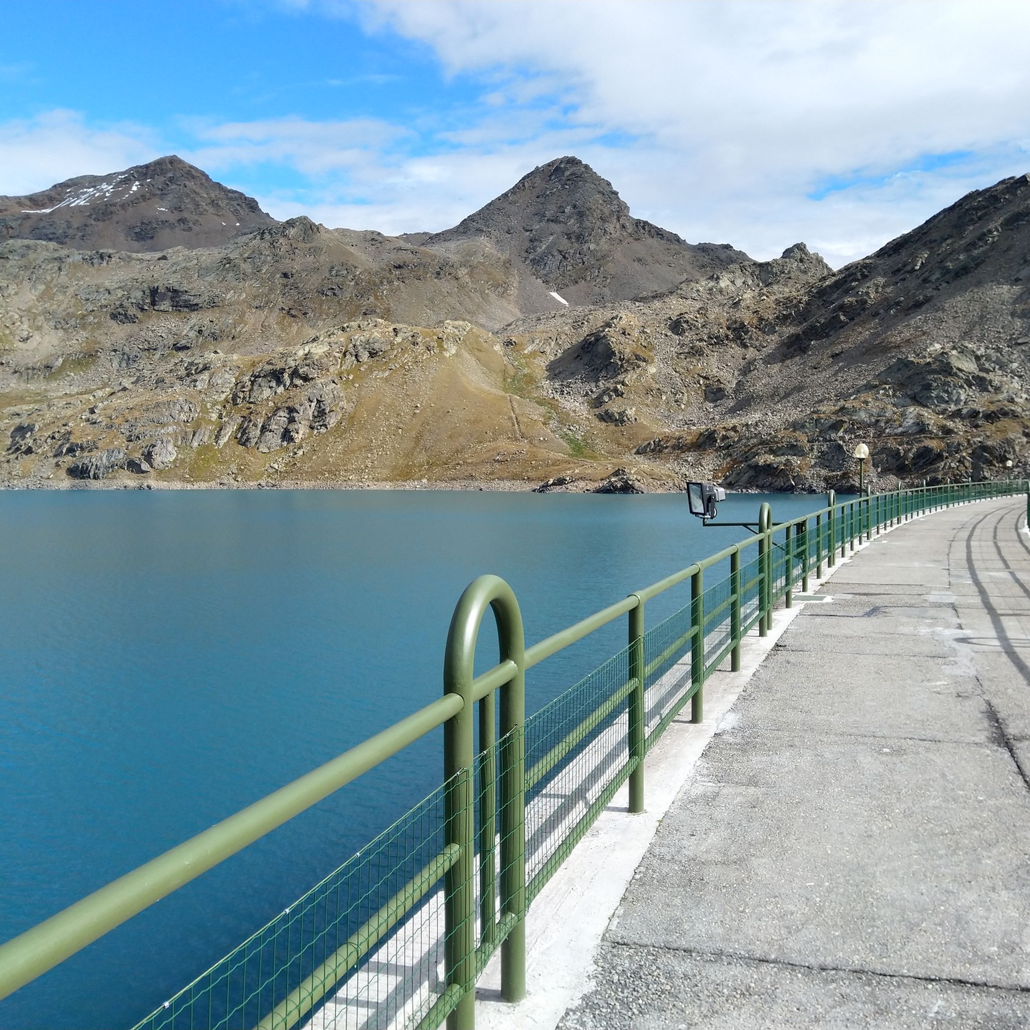
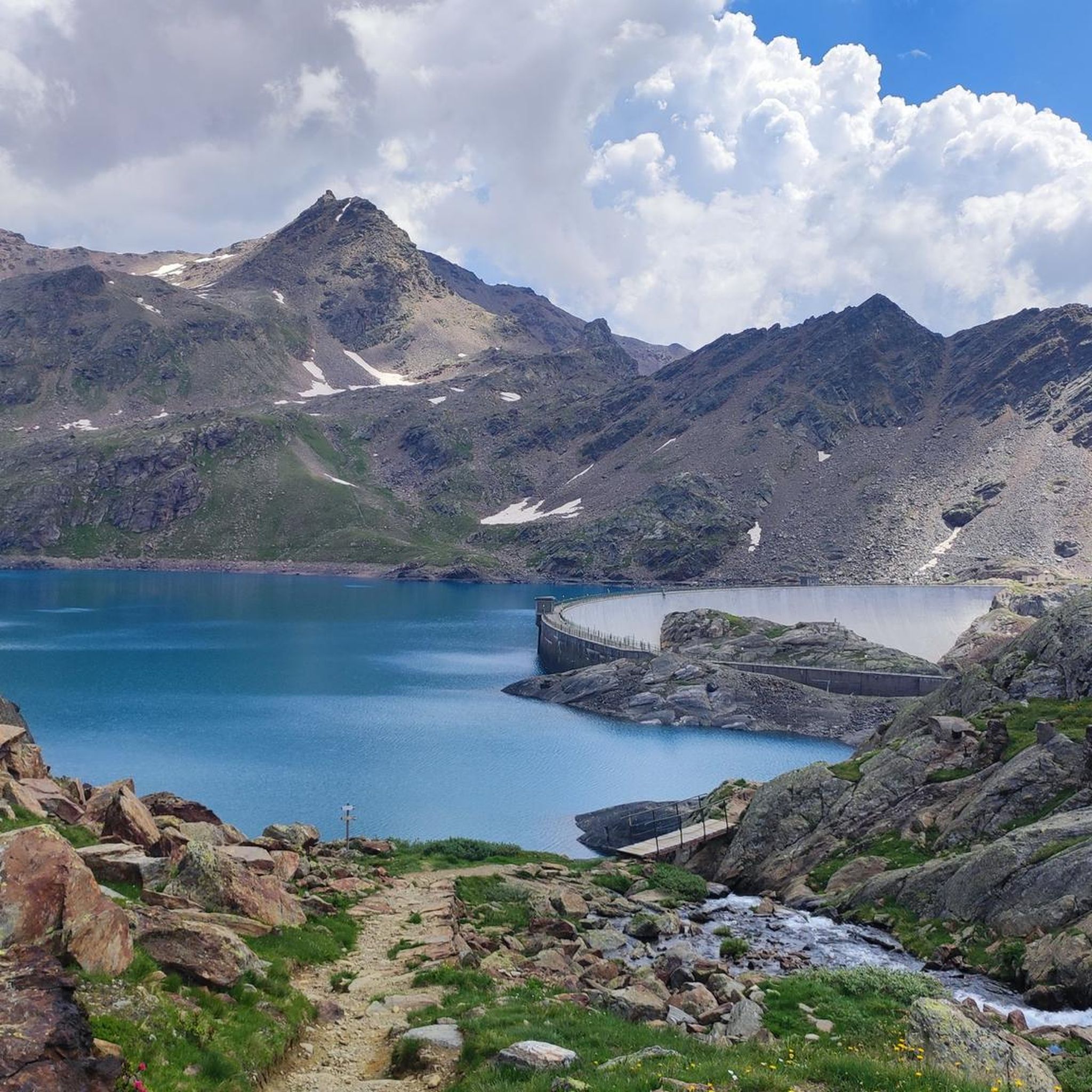
Yes, several routes pass by significant landmarks. The artificial Lake del Careser itself, with its impressive 58-meter high dam wall, is a central feature. You can also find mountain refuges like the Rifugio Larcher, which serves as a popular stop for mountaineers. Viewpoints such as Pian Venezia offer magnificent panoramic vistas of the Ortles–Cevedale peaks, and some trails may lead you past the Salt dei Gembri Waterfall.
What is the best time of year for mountaineering around Lake del Careser?
The best time for mountaineering around Lake del Careser is typically during the summer months, from late June to early September, when the snow has largely melted from the higher trails and weather conditions are generally more stable. However, conditions can change rapidly in the high alpine, so always check forecasts and trail conditions before heading out.
Are there any challenging mountaineering routes for experienced climbers?
Yes, the region offers several challenging routes. For example, the Zufall Hut – Old Dam Wall in Martell Valley loop is a difficult 15.6 km trail with significant elevation gain. Another demanding option is the Zufall Hut – Madritschjoch loop, covering 15.5 km with over 1200 meters of ascent. These routes require good fitness, sure-footedness, and alpine experience.
Are there any moderate mountaineering options for those with less experience?
Yes, there are moderate options available. The Old Dam Wall in Martell Valley – Zufall Hut loop is a moderate 10.0 km path that provides access to the historic dam wall and a mountain hut, offering a less strenuous but still rewarding alpine experience.
What kind of wildlife might I encounter in Stelvio National Park?
Being located within Stelvio National Park, the area around Lake del Careser offers opportunities for wildlife sightings. You might spot chamois, marmots, and various bird species, including eagles, amidst the picturesque snow-capped peaks and alpine meadows.
What do other mountaineers say about the routes around Lake del Careser?
The mountaineering routes around Lake del Careser are highly rated by the komoot community, with an average score of 4.8 stars from over 100 reviews. Mountaineers often praise the stunning high-alpine scenery, the challenging terrain, and the pristine nature of Stelvio National Park.
Are there any circular mountaineering routes in the area?
Yes, many of the routes around Lake del Careser are designed as loops, allowing you to start and end at the same point. For instance, the Martell Hut – Old Dam Wall in Martell Valley loop is a difficult 11.8 km circular trail that takes you through high mountain valleys.
What should I consider regarding equipment for mountaineering in this region?
Given the high-alpine environment and the difficulty of many routes, sturdy mountaineering boots, appropriate layered clothing, and navigation tools are essential. For more challenging routes, especially those involving glaciers or exposed sections, additional equipment like crampons, ice axes, and ropes might be necessary. Always check specific route requirements and current conditions.
Is it possible to reach the mountaineering routes using public transport?
While specific public transport connections directly to all trailheads can be limited in high-alpine regions, Stelvio National Park generally has some bus services connecting to key valleys and villages. It's advisable to research local bus schedules to the nearest accessible points, such as Martell Valley or Peio Valley, and plan for potential additional transfers or a taxi to reach specific starting points like Zufallhütte - Rifugio Nino Corsi.
Are there any routes that lead to a summit?
Yes, for those seeking a summit experience, the Mantova Hut at Vioz – Monte Vioz Summit loop is a difficult 12.0 km route that takes you to the summit of Monte Vioz, offering extensive views of the surrounding Ortles-Cevedale group.
Most popular routes around Lake del Careser

Get inspired with the komoot mobile app


Explore more
Browse the best Mountain Hikes & Routes in other regions.
