The best running trails around Lake Sardegnana
4.4
(6)
1,179
runners
44
runs
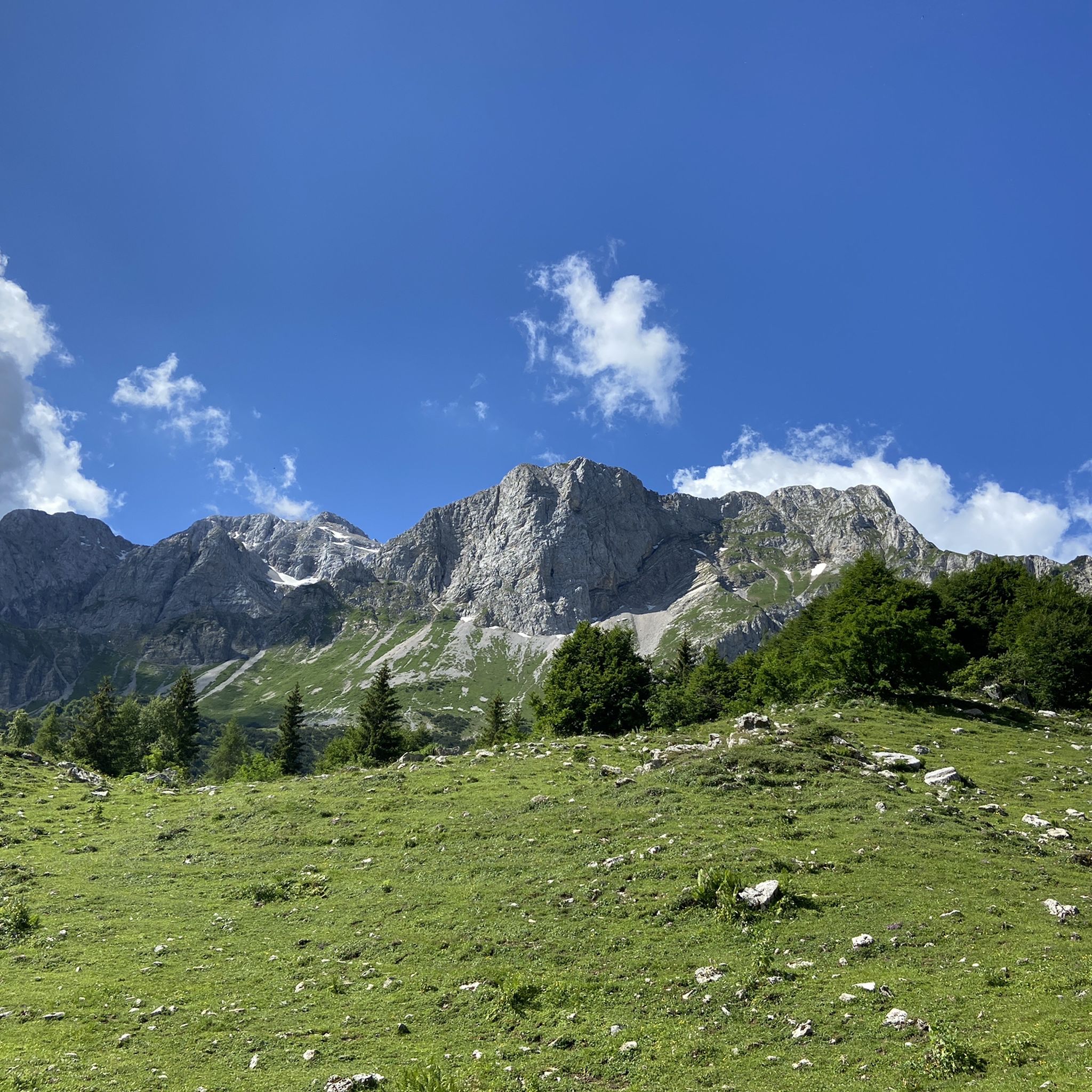
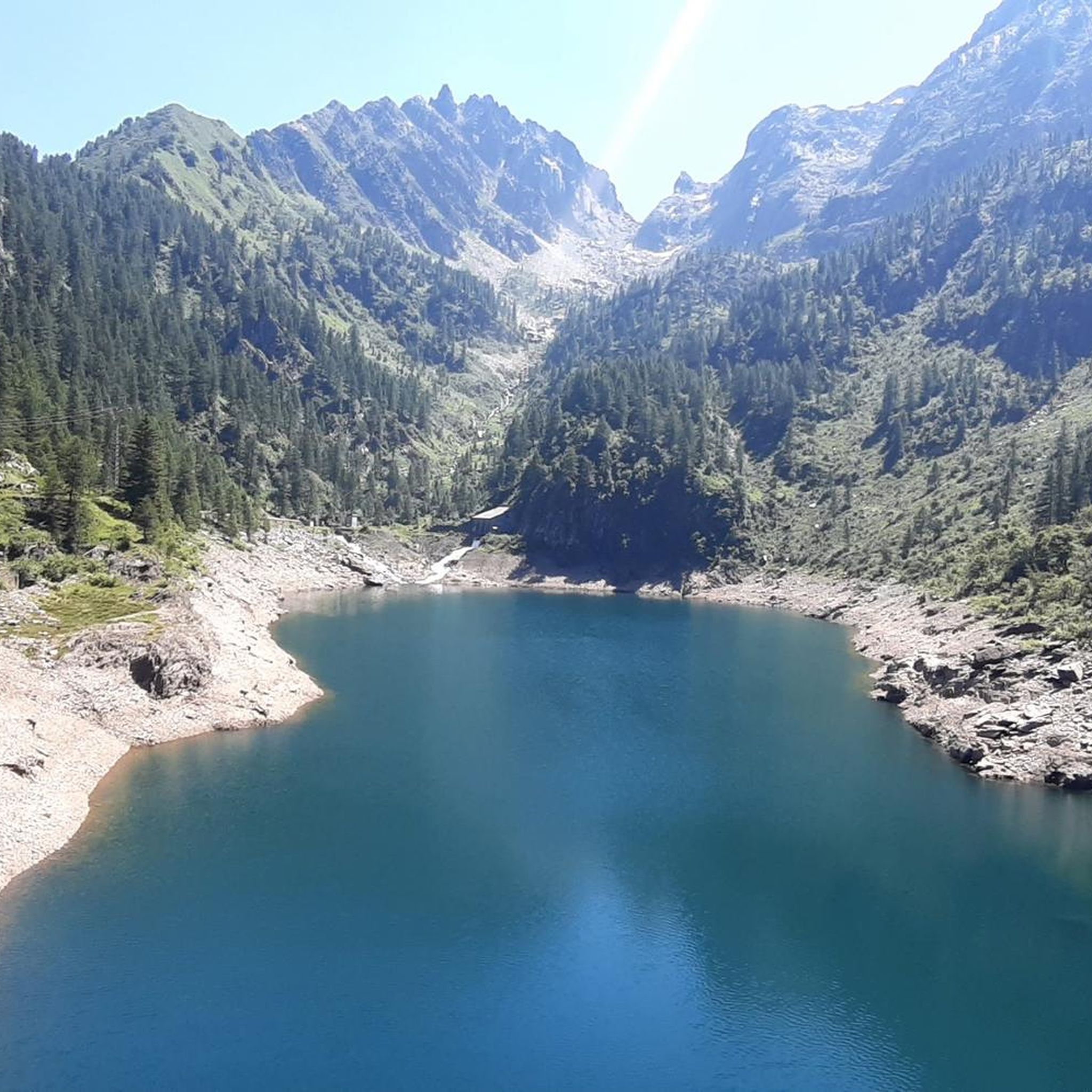
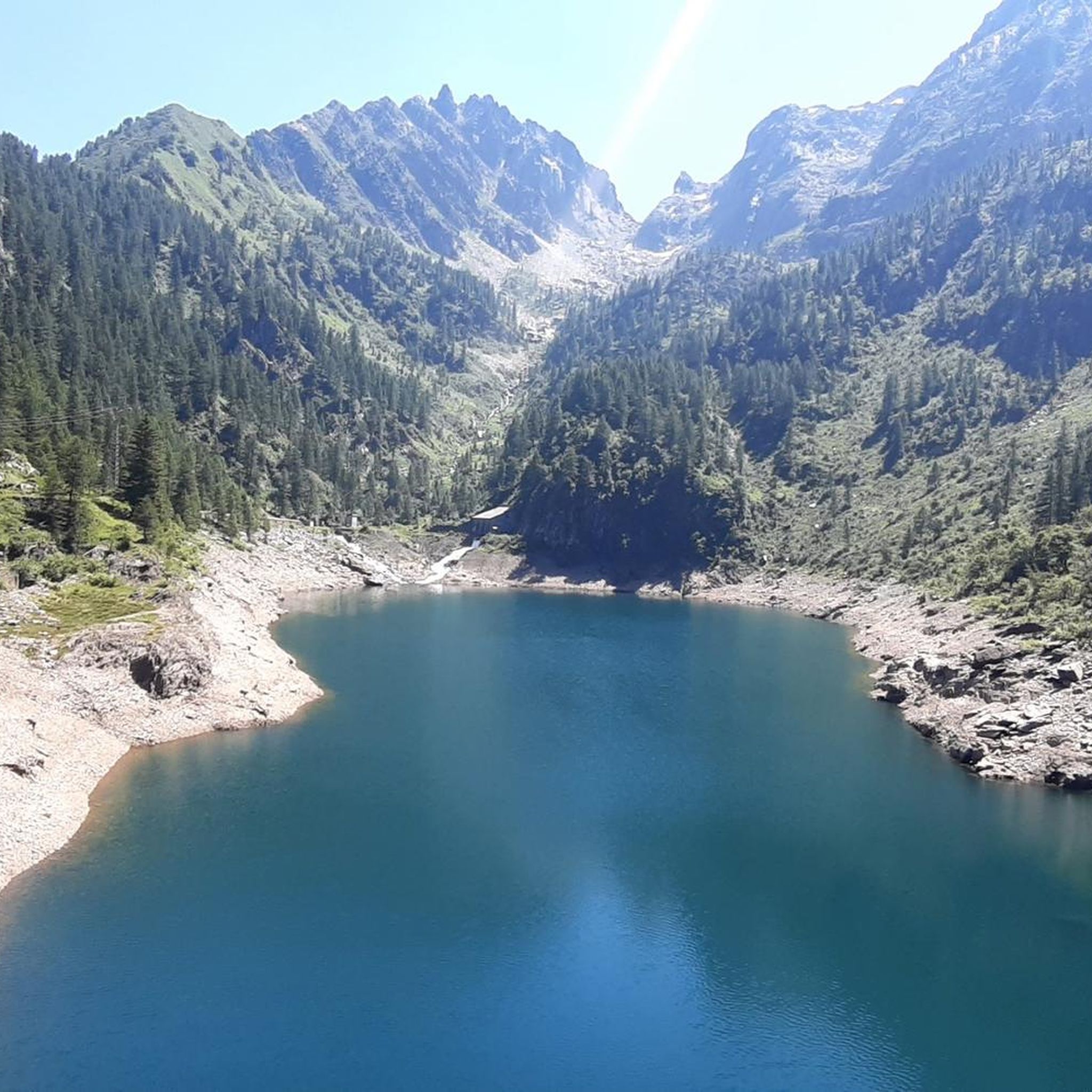
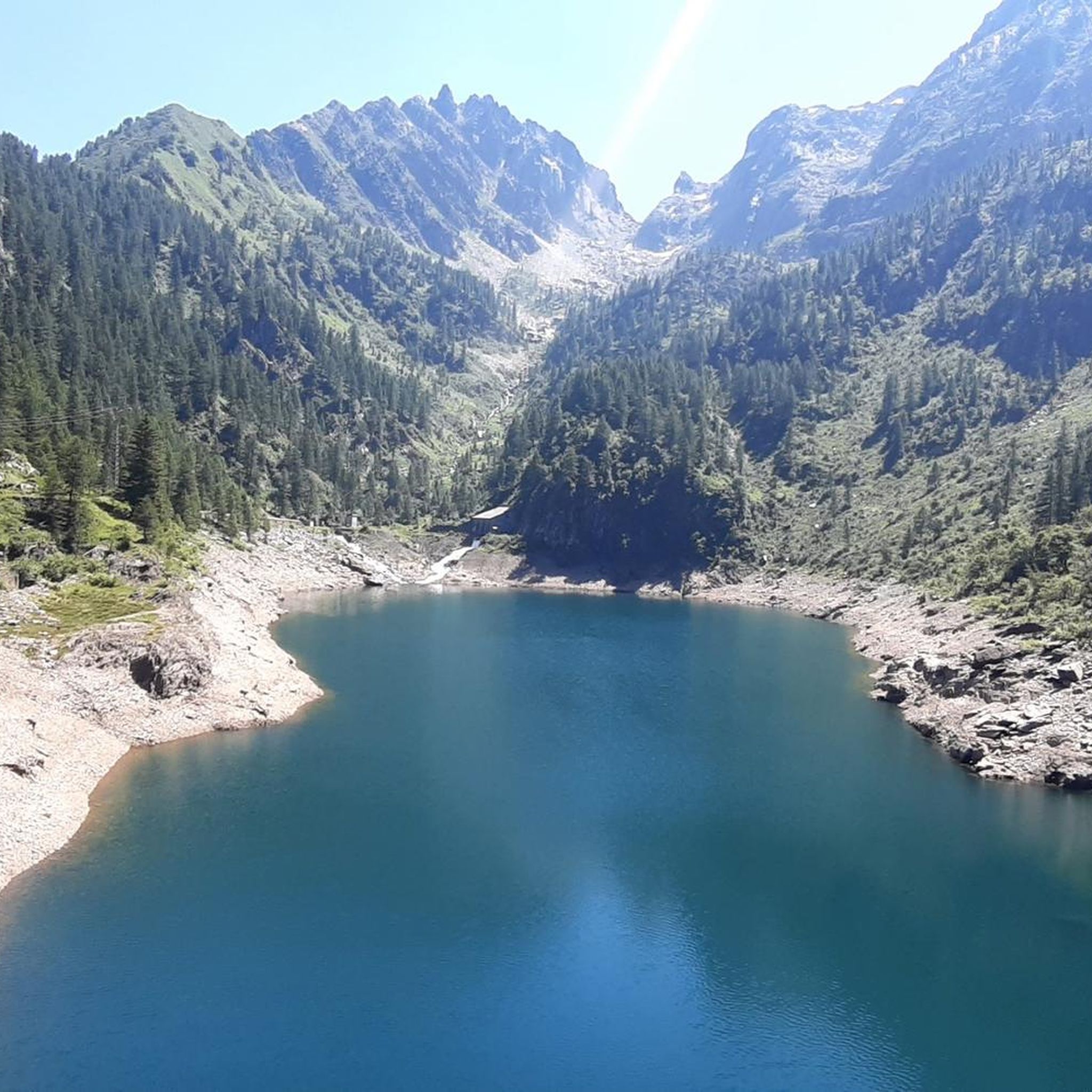
Jogging around Lake Sardegnana offers an exploration of the Orobie Alps, characterized by its alpine landscapes and diverse terrain. This region features prominent peaks like Pizzo del Becco and Corni di Sardegnana, alongside other mountain lakes such as Lago Marcio and Laghi Gemelli. Trails often wind through pristine mountain environments, including sections of Carona Forest, providing a mix of rugged and wooded paths. The area is also notable for the Cascata della Val Sambuzza, adding a natural landmark to many…
Last updated: July 6, 2026
65
runners
19.3km
03:51
1,490m
1,490m
This difficult 12.0-mile (19.3 km) jogging loop to Monte Aga offers panoramic views and passes Devil's Lake in the Parco delle Orobie.
5.0
(1)
48
runners
25.2km
04:43
1,530m
1,530m
This difficult 15.6-mile jogging route above Carona offers stunning alpine lake scenery and a challenging 5014 feet of elevation gain.

Sign up for free
5.0
(1)
26
runners
36.8km
07:27
2,610m
2,610m
Hard run. Very good fitness required. Sure-footedness, sturdy shoes and alpine experience required.
4.0
(2)
15
runners
4.70km
00:31
110m
100m
Hard run. Good fitness required. Sure-footedness, sturdy shoes and alpine experience required.
5
runners
15.0km
02:44
1,080m
1,090m
Hard run. Very good fitness required. Sure-footedness, sturdy shoes and alpine experience required.
Get access to more routes and recommendations from other explorers.
Sign up for free
Already have an account?
Our route recommendations are based on thousands of hikes, rides, and runs completed by other people on komoot.
Start today with a free account
Your next adventure awaits.
Login or Signup

Tips from the Community

beautiful view and a nice place to pass through for many tours
1
0

The Rifugio Fratelli Longo is located at an altitude of 2,026 meters in the municipality of Carona (BG), in the splendid setting of the Alta Val Brembana within the Parco delle Orobie Bergamasche.
4
0
The Cascata della Val Sambuzza (also known as Cascata di Carona) is one of the most striking waterfalls in the Val Brembana, located at an altitude of about 1,413 meters in the municipality of Carona, in the province of Bergamo
4
0
PAGLIARI, memory in Stone. Up there, after the last houses of Carona, on the edge of the road leading to the Calvi Hut and, from here, to the many variants of the Orobie Alps trail network, the Hamlet of Pagliari emerges on the right, from a small yet evocative clearing. An ancient village, among the best preserved in its rustic architecture, which in winter appears as a single compact, dark stone, standing out against the immaculate carpet of snow, while in summer it blends into a gentler, more varied landscape, where the green tongues of pastures and meadows wind between the small streets and paths, within its open spaces. We are in the last valley of the upper Brembo, in the extreme Bergamo outpost to the North, under the imposing buttresses that divide, and in some ways unite, the Orobie valleys from those of Valtellina. The mountains that widen into an amphitheater and frame the superb peak of Pizzo del Diavolo, constitute, in fact, not only the watershed between the two neighboring provinces (Bergamo and Sondrio), but also the epicenter of a cultural and commercial area dense with paths and communication routes between one valley and another.
5
0


Recently renovated, the refuge features a solid wood dining room and new windows. The lunch service is fully organized and top-notch, even on busy weekends. Reachable via an easy dirt road, it's a starting point for the easy Devil's Lake, as well as for more challenging hikes like the Selletta Pass or Mount Aga, or even a circular route passing by the Calvi refuge on the way back.
0
0
We hiked the trail from the Selletta Pass side in late October, exposed to the sun and therefore free of the first snow that had fallen days earlier. The final 200-meter elevation gain to the summit includes some sections requiring easy rock holds to ascend the steps. The same goes for the descent. Fantastic views from the summit.
0
0

low flower path, once you reach the halfway point, turn left and not continue towards Branchino, you descend into Val Vedra
0
0
Frequently Asked Questions
How many running routes are available around Lake Sardegnana?
There are over 35 dedicated running routes around Lake Sardegnana, offering a wide range of options for exploring the Orobie Alps. While most are challenging, there are a few easier paths available for those seeking a less strenuous experience.
What kind of terrain can I expect on the jogging trails near Lake Sardegnana?
The terrain around Lake Sardegnana is primarily alpine, featuring majestic mountain scenery. You'll find trails winding through pristine mountain environments, including sections of Carona Forest, offering a mix of rugged and wooded paths. Expect significant elevation changes on many routes.
Are there any easy or beginner-friendly running routes in the Lake Sardegnana area?
While most routes around Lake Sardegnana are rated as difficult due to significant elevation gain and alpine terrain, there are a couple of easier paths available. These are suitable for those looking for a less challenging run, though specific route details for easy options are limited in the provided data.
Can I find circular running routes around Lake Sardegnana?
Yes, many of the running routes in the area are loops, allowing you to start and finish in the same location. For example, the challenging Monte Aga from Carona Loop and the Carona Huts and Lakes Loop are popular circular options.
What natural landmarks or points of interest can I see while running near Lake Sardegnana?
The region is rich in natural beauty. Along the trails, you can admire prominent peaks like Pizzo del Becco and Corni di Sardegnana, as well as other alpine lakes such as Lago Marcio, Lago Piano Casere, and Laghi Gemelli. The cascading Cascata della Val Sambuzza is another notable feature you might encounter on routes like the Laghi Gemelli Mountain Hut – Sambuzza Valley Waterfall loop from Carona.
Is Lake Sardegnana a good destination for experienced trail runners?
Absolutely. With 35 out of 37 routes rated as difficult, Lake Sardegnana is an excellent destination for experienced trail runners. Many routes feature significant elevation gain and traverse high mountain terrain, connecting various huts and offering expansive lake views, such as the Laghi Gemelli Hut – Rifugio Capanna 2000 loop from Carona.
What do other runners say about the trails around Lake Sardegnana?
The running trails around Lake Sardegnana are highly regarded by the komoot community, holding an average rating of 5.0 stars from multiple reviews. Runners often praise the breathtaking alpine scenery, the challenging yet rewarding terrain, and the opportunity to explore pristine mountain environments.
Are there any routes that pass by other alpine lakes?
Yes, several routes will lead you past other stunning alpine lakes. For instance, the Lago di Montespluga – Laghi Gemelli Hut loop from Carona takes you through mountain passes and past beautiful alpine lakes, including Laghi Gemelli.
How can I reach the starting points for these running routes, particularly from Carona?
Carona serves as a convenient access point for many of the running routes around Lake Sardegnana. While specific public transport details are not provided, it's generally the starting point for routes like the Monte Aga from Carona Loop and the Carona Huts and Lakes Loop. Parking is typically available in Carona for those arriving by car.
What is the best season for jogging around Lake Sardegnana?
The best season for jogging around Lake Sardegnana is generally from late spring to early autumn (June to September) when the alpine trails are free of snow and the weather is most favorable. During these months, you can fully enjoy the stunning mountain vistas and accessible paths.
Are there any long-distance running options that connect to broader trail networks?
Yes, the Lake Sardegnana area is integrated into the broader Sentiero delle Orobie, a well-known trail that connects various refuges, including the Laghi Gemelli refuge and the Fratelli Calvi refuge. This offers excellent opportunities for longer, multi-day trail running adventures.
What should I consider regarding fitness and equipment for running in this region?
Given that most routes are difficult and involve significant elevation gain, a very good fitness level, sure-footedness, and sturdy trail running shoes are highly recommended. Alpine experience is beneficial for longer durations or more challenging sections. Always be prepared for changing mountain weather conditions.
Most popular routes around Lake Sardegnana

Get inspired with the komoot mobile app


Explore more
Browse the best Running Trails & Routes in other regions.
