The best mountain hikes around Lake Rims
4.4
(14)
118
hikers
4
hikes
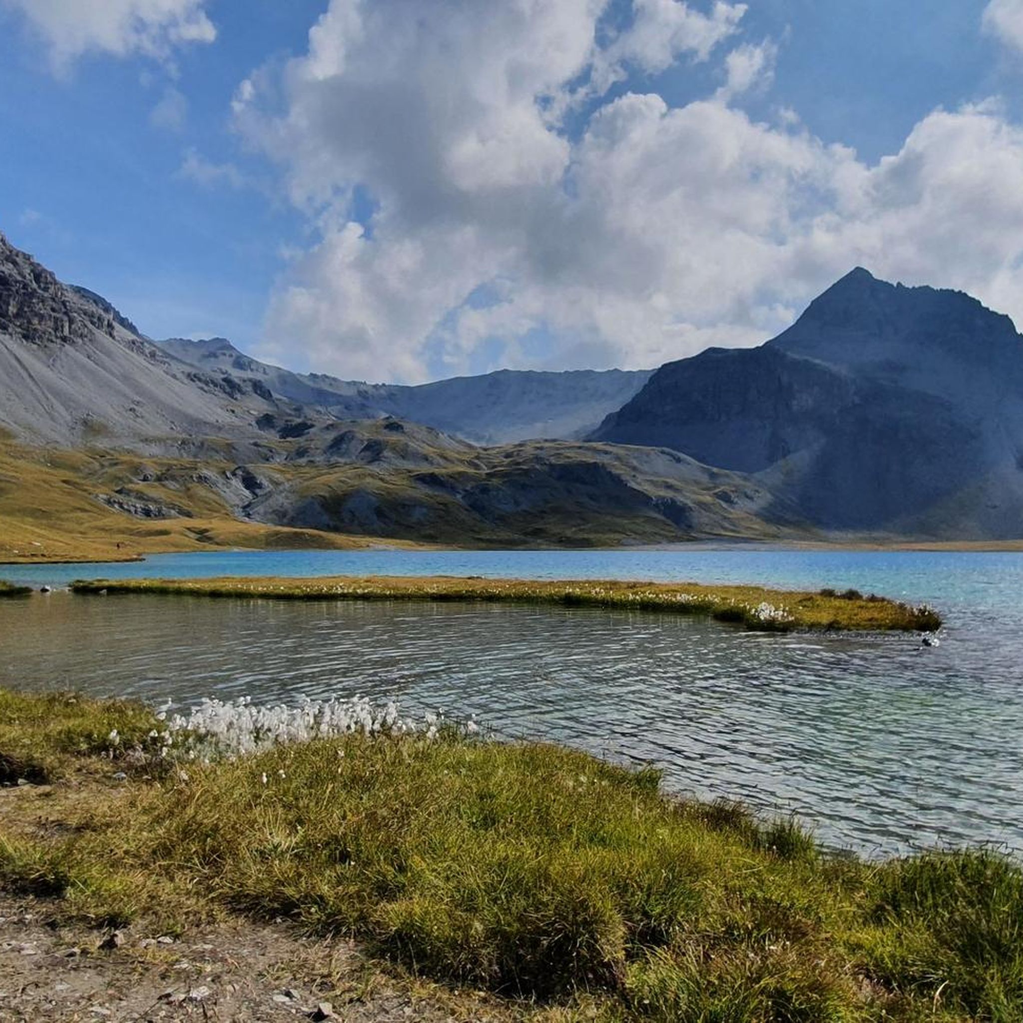
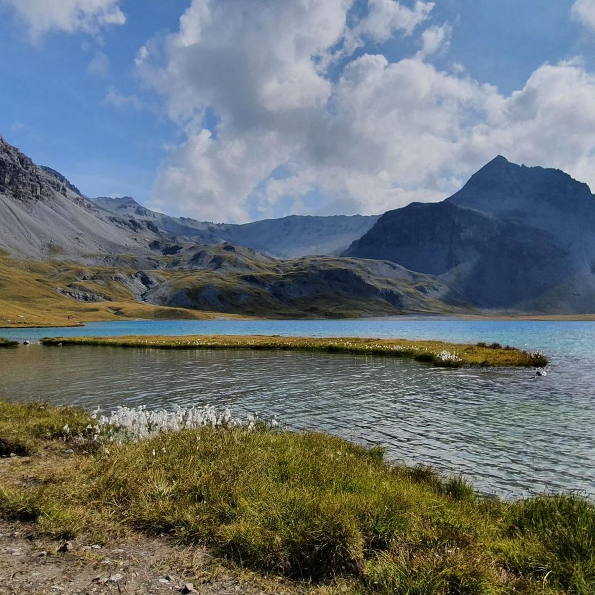
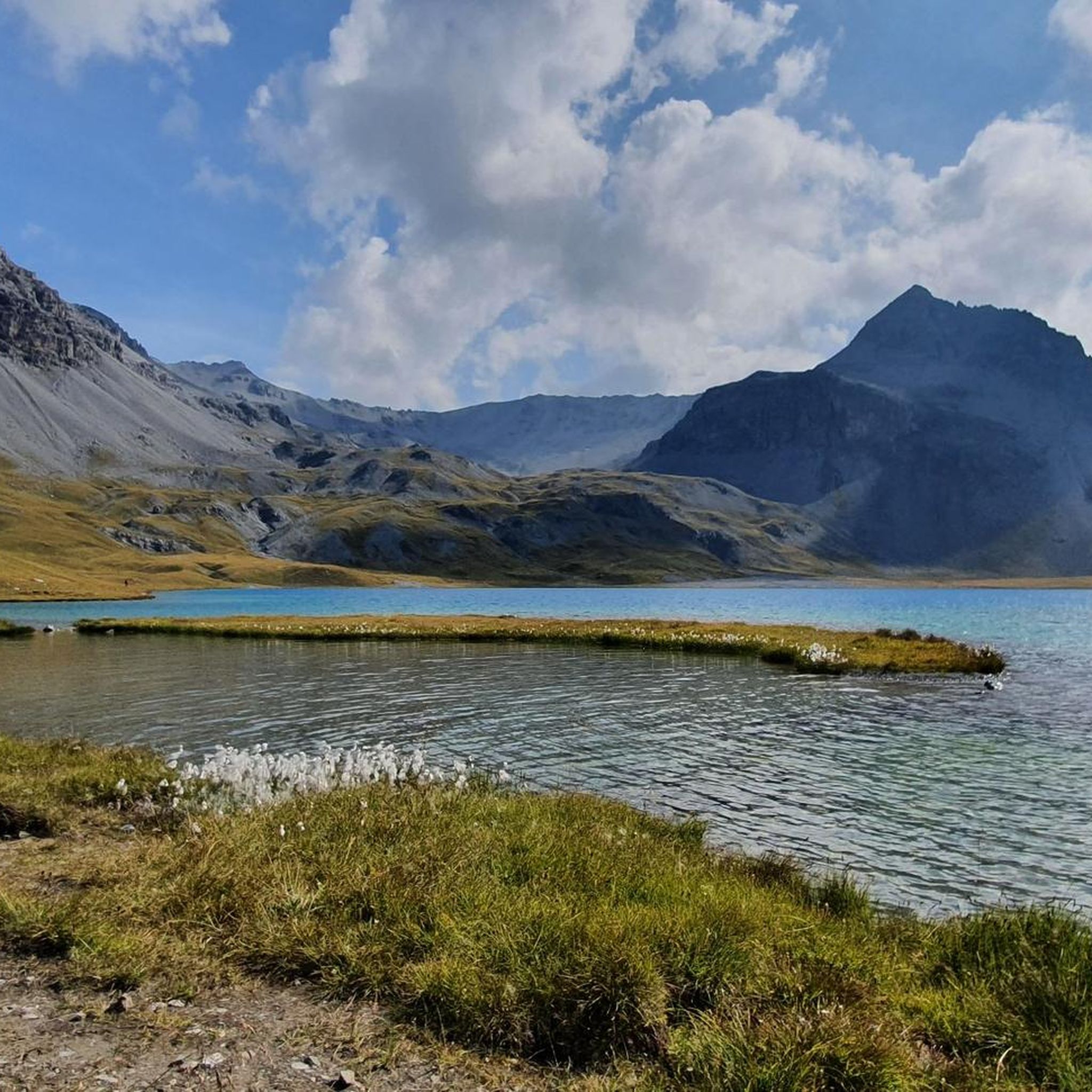
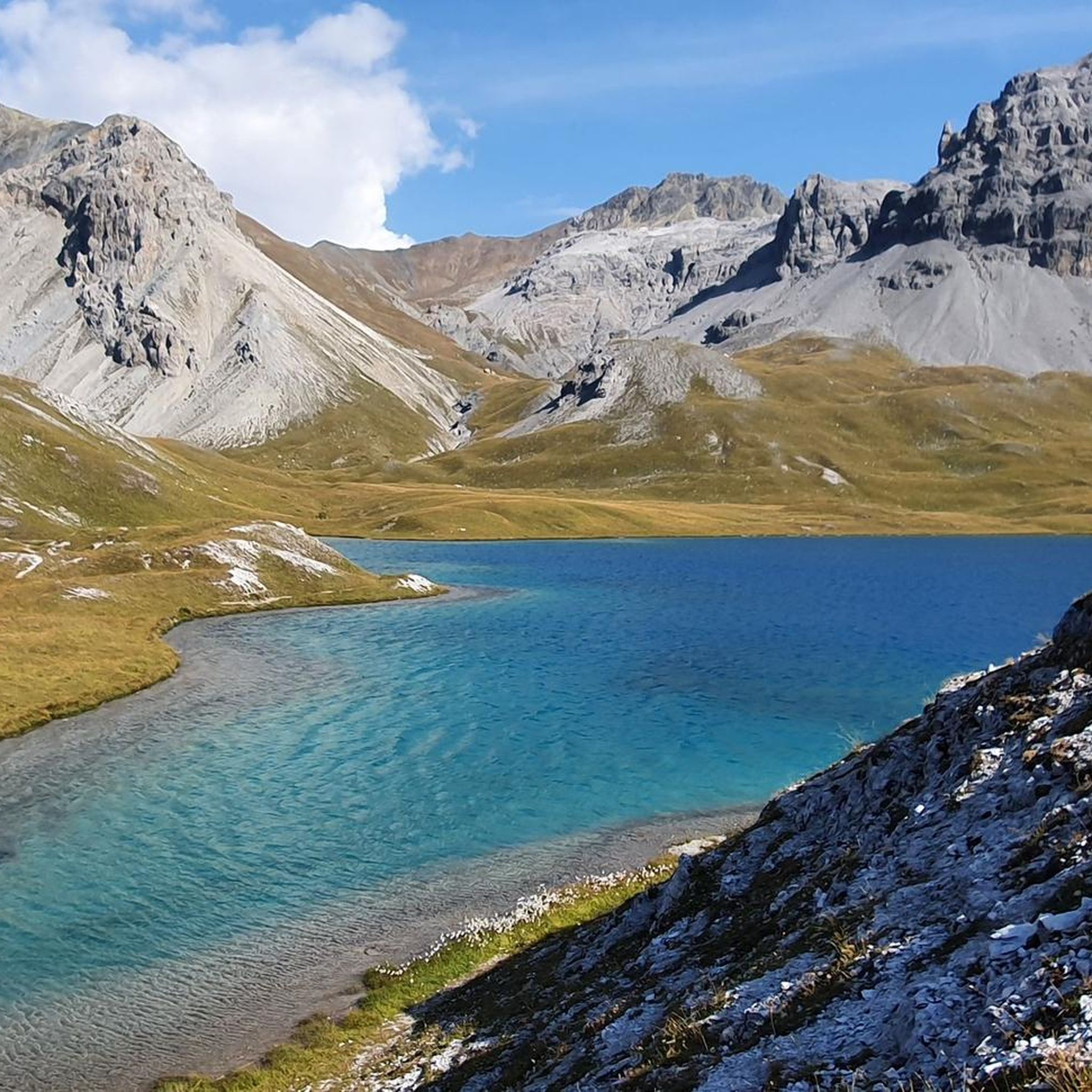
Mountaineering around Lake Rims offers challenging routes through high-alpine terrain, characterized by prominent peaks and historical mountain passes. The region features rugged landscapes, including 3,000-meter summits and remnants of past military installations. These routes often traverse exposed ridges and steep ascents, providing expansive views of the surrounding Inn valley.
Best mountaineering routes around Lake Rims
- The most popular mountaineering route is Lempruch Camp at Breitenkamm – Piz Cotschen (3,026 m) loop from Stelvio Pass, a 3.3 miles (5.3 km)…
Last updated: August 3, 2026
4.8
(4)
37
hikers
5.19km
02:20
240m
240m
Hard mountaineering route. Good fitness required. Sure-footedness, sturdy shoes and alpine experience required.
5.0
(1)
18
hikers
3.34km
01:36
290m
290m
Moderate mountaineering route. Great for any fitness level. Mostly accessible paths. Sure-footedness required.

Sign up for free
5.0
(1)
6
hikers
7.77km
03:23
350m
350m
Hard mountaineering route. Good fitness required. Sure-footedness, sturdy shoes and alpine experience required.
1.0
(1)
7
hikers
7.46km
03:15
500m
500m
Hard mountaineering route. Good fitness required. Sure-footedness, sturdy shoes and alpine experience required.
5.0
(1)
5
hikers
5.27km
02:51
420m
420m
Hard mountaineering route. Good fitness required. Sure-footedness, sturdy shoes and alpine experience required.
Our route recommendations are based on thousands of hikes, rides, and runs completed by other people on komoot.
Start today with a free account
Your next adventure awaits.
Login or Signup
Tips from the Community

Beautiful panoramic view of Valdidentro and the Cancano lakes.
0
0

Mountain path at the edge of the tree line in a beautiful setting
0
0

everything is worth the effort 100
0
0

Memorial cross for the Tyrolean Riflemen on a small peak surrounded by old trenches and positions.
2
0
Memorial cross for the Tyrolean Riflemen on a small peak surrounded by old trenches and positions
2
0
Here you have a fantastic panoramic view, the climb is definitely worth it!
2
0

Good view of the Ortler massif and Switzerland.
0
0

Extremely delicious elderflower juice with prompt service
0
0
Frequently Asked Questions
How many mountaineering routes are available around Lake Rims?
There are at least 5 distinct mountaineering routes documented around Lake Rims on komoot, offering a range of challenges for experienced hikers.
What is the general difficulty level of mountaineering routes in the Lake Rims area?
The mountaineering routes around Lake Rims are predominantly challenging. Out of the documented routes, 4 are rated as difficult, and 1 is moderate. This region is known for its high-alpine terrain, exposed ridges, and steep ascents.
Are there any moderate mountaineering routes suitable for those looking for a less strenuous option?
Yes, for a moderate mountaineering experience, consider the Mount Scorluzzo loop from Stelvio Pass. This 2.2-mile (3.5 km) path explores alpine meadows and rocky sections near the historic Stelvio Pass, typically taking around 1 hour 34 minutes to complete.
What is the best time of year to go mountaineering around Lake Rims?
The best time for mountaineering around Lake Rims is generally during the summer months, from late June to early September, when snow has largely melted from higher elevations and weather conditions are more stable. Always check local weather forecasts and trail conditions before heading out.
Are there any circular mountaineering routes in the Lake Rims region?
Yes, many routes in the area are designed as loops. For example, the Lempruch Camp at Breitenkamm – Piz Cotschen (3,026 m) loop from Stelvio Pass is a difficult 3.3-mile (5.3 km) circular route that offers panoramic views from a significant peak.
What kind of historical sites can be found along the mountaineering routes?
The region around Lake Rims is rich in history, particularly related to past military installations. Routes like the Mount Scorluzzo – Alpini Village loop from Stelvio Pass lead through high-alpine landscapes and past historical sites, offering a glimpse into the area's past.
What should I wear for mountaineering in Lake Rims' high-alpine environment?
Given the high-alpine terrain, it's crucial to wear appropriate layers, including moisture-wicking base layers, insulating mid-layers, and a waterproof/windproof outer shell. Sturdy mountaineering boots, gloves, a hat, and sun protection are also essential. Be prepared for rapid weather changes.
Are there any routes that offer views of 3,000-meter peaks?
Absolutely. The mountaineering around Lake Rims is characterized by challenging ascents to 3,000-meter peaks. The Lempruch Camp at Breitenkamm – Piz Cotschen (3,026 m) loop from Stelvio Pass, for instance, ascends to Piz Cotschen, a peak over 3,000 meters, providing expansive views.
What do other mountaineers enjoy most about the routes around Lake Rims?
The komoot community highly rates the mountaineering routes around Lake Rims, with an average score of 4.5 stars. Reviewers often praise the challenging high-alpine terrain, the expansive views of the surrounding Inn valley, and the historical elements found along the trails.
Is there a route that explores both natural beauty and historical military positions?
Yes, the Gold Lake – Goldsee Artillery Position loop from Stelvio Pass is a great option. This difficult 4.9-mile (7.9 km) route combines stunning natural scenery around Gold Lake with historical military positions, offering a unique blend of nature and history.
What are the typical durations for mountaineering routes in this area?
The durations for mountaineering routes around Lake Rims vary depending on difficulty and length. For example, the moderate Mount Scorluzzo loop takes about 1 hour 34 minutes, while the more challenging Mount Scorluzzo – Alpini Village loop can take around 4 hours 1 minute.
Most popular routes around Lake Rims

Get inspired with the komoot mobile app


Explore more
Browse the best Mountain Hikes & Routes in other regions.
