The best MTB trails around Büttelborn
4.5
(2152)
6,691
riders
657
rides
Mountain bike trails around Büttelborn are situated within the Rhine-Main area, offering diverse terrain for outdoor enthusiasts. The region features extensive forests, green meadows, and lakes, providing varied backdrops for mountain biking. Terrain ranges from flat trails suitable for beginners to routes with gentle hills, and proximity to the Odenwald offers more challenging options. This landscape provides a network of paths catering to different skill levels.
Best mountain bike trails around Büttelborn
- The most popular mountain bike trail is Martin-Roth…
Last updated: November 1, 2026
4.6
(16)
15
riders
Moderate mountain bike ride. Good fitness required. Advanced riding skills necessary.
4.9
(12)
9
riders
52.8km
03:47
480m
480m
Moderate mountain bike ride. Good fitness required. Advanced riding skills necessary.

4.7
(3)
7
riders
Moderate mountain bike ride. Good fitness required. Advanced riding skills necessary.
4.5
(2)
9
riders
Moderate mountain bike ride. Advanced riding skills necessary.
5.0
(1)
7
riders
Moderate mountain bike ride. Good fitness required. Advanced riding skills necessary.
Get access to more routes and recommendations from other explorers.
Already have an account?
Our route recommendations are based on thousands of hikes, rides, and runs completed by other people on komoot.
Start today with a free account
Your next adventure awaits.
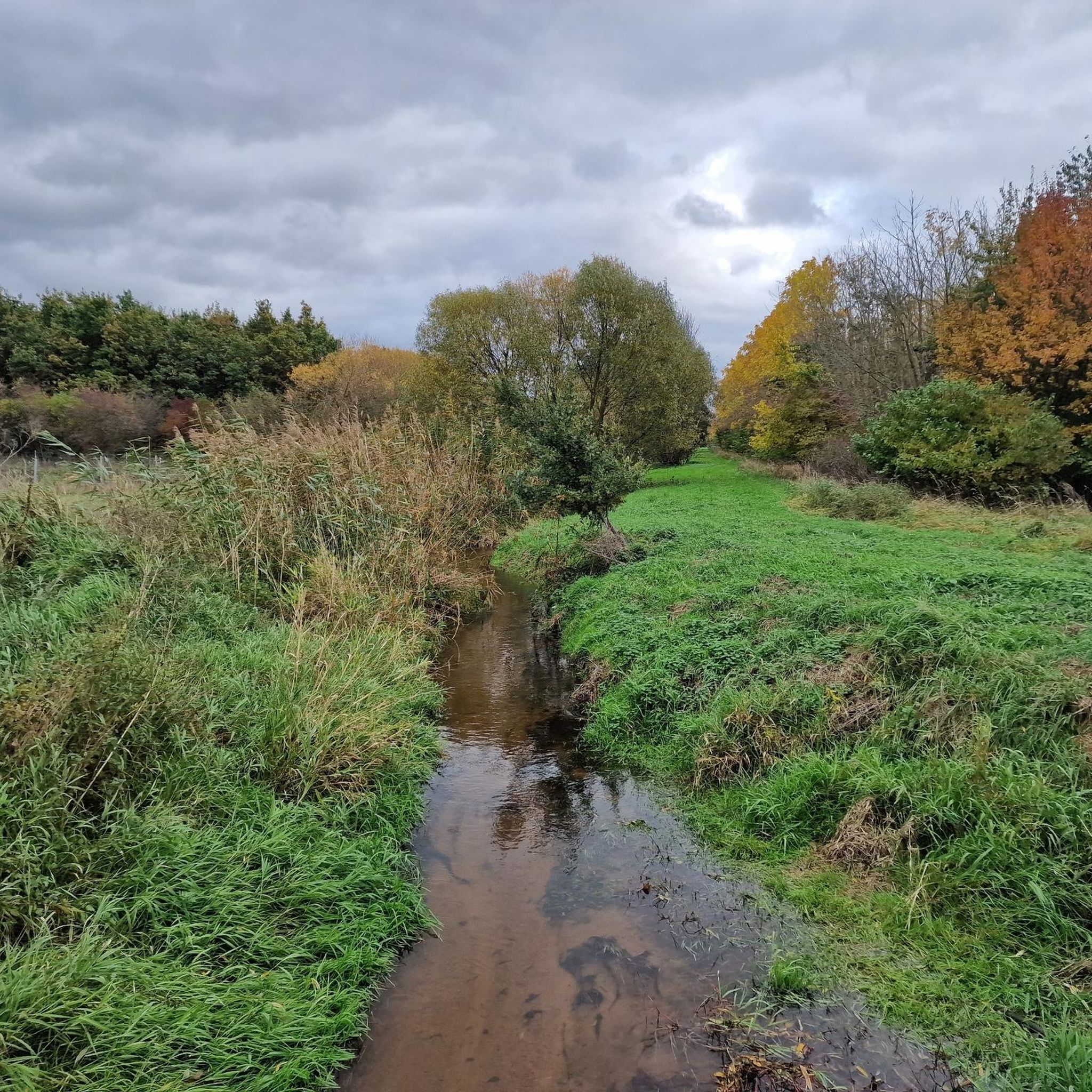
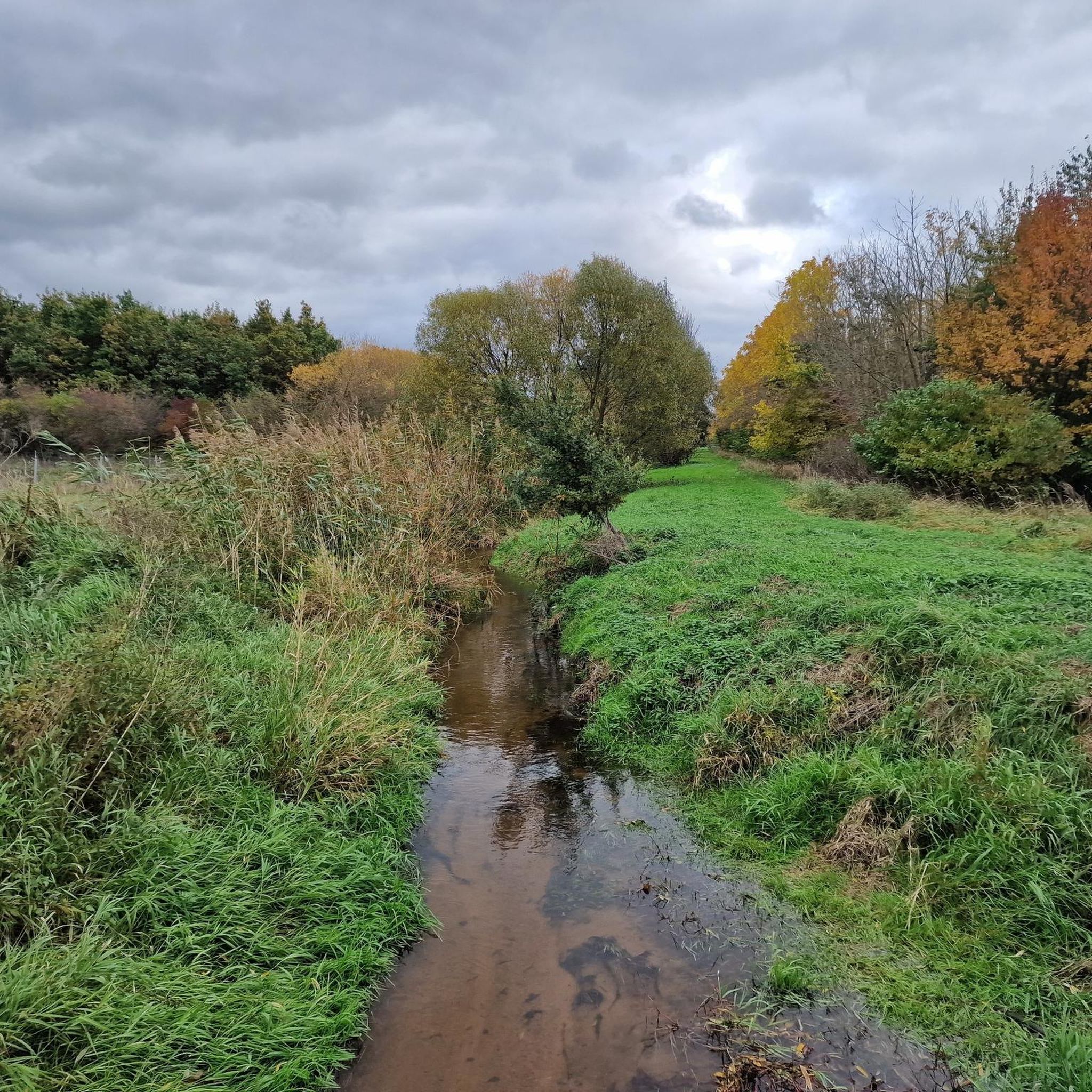
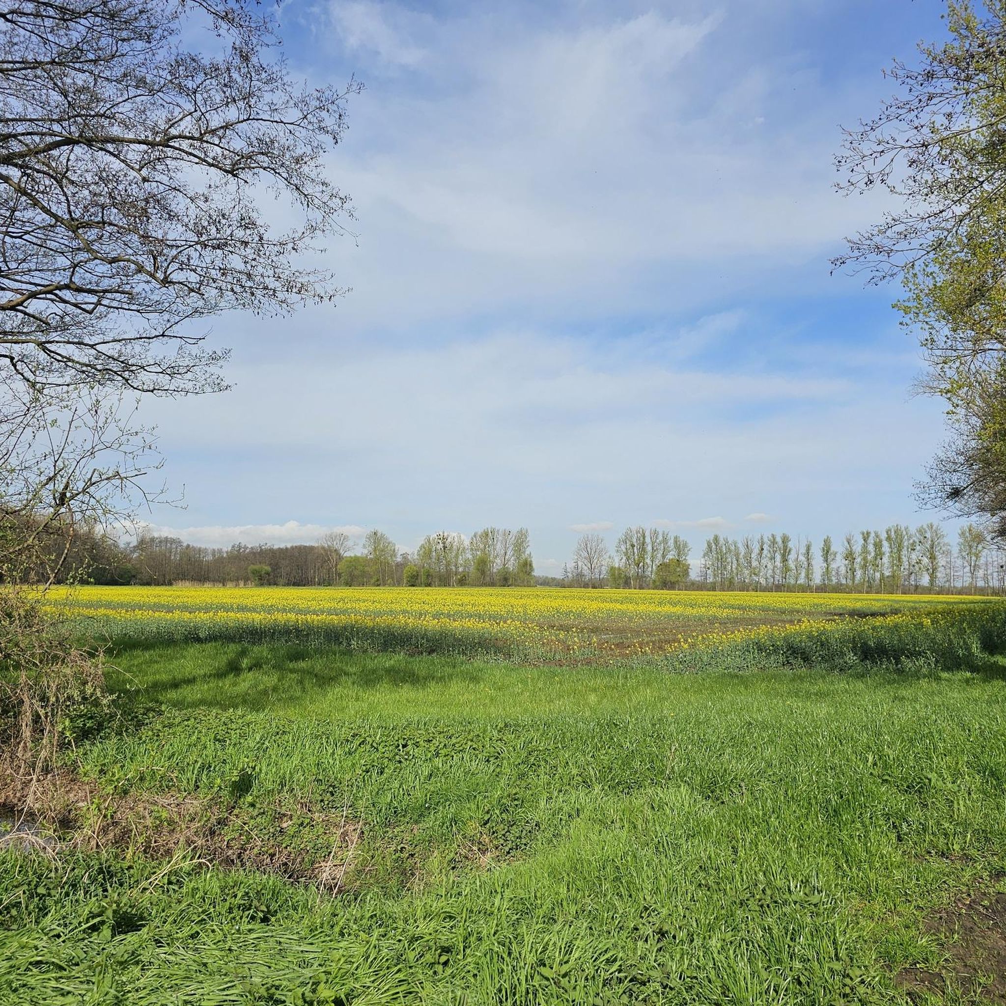
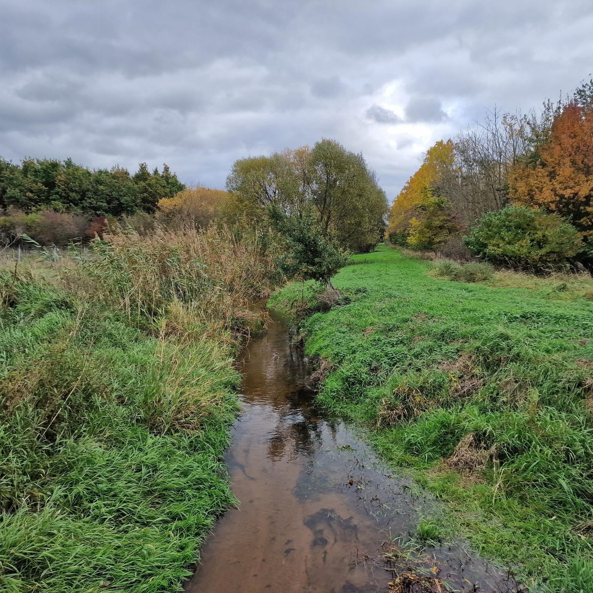
Tips from the Community

It is a quite large park. There are also some interesting things here that are definitely worth a visit.
2
0

Great landscape. If it weren't for the high-voltage power lines and the forest (and the aircraft noise) - you could imagine yourself in the Lüneburger Heide.
0
0

The Dornburg, as Schloss Dornberg was called in earlier times, is first mentioned in the 12th century. Although the circumstances of its construction are largely unknown, its origin likely dates back to Roman times. Today's Schloss Dornberg is located in the district of Groß-Gerau with the same name and offers the adult education center a framework for imparting knowledge on historical ground. The castle, protected by a wall and moat, was in the possession of the Counts of Katzenelnbogen for many years before it was occupied and finally burned down during the Palatinate War of Succession. The ruins are used for the construction of new buildings, such as the Fasanerie, and later a hunting lodge and the forestry office are erected on the site. After the property passed to the city in the 1950s, Schloss Dornberg became not only a youth hostel but also a popular meeting place for the city's youth. From 2005, a cultural and educational center is being built on the site in close coordination with the monument preservation authority. Schloss Dornberg is a prime example of how historical, natural, and modern interests can be brought together today. The use of this historical site as an adult education center not only enables visitors to further their education but also to discover the high banks of the old Neckar riverbed and visit remnants of the historical castle complex, thus contributing with their visit to the financing and preservation of the historical site. Source: Reservix
2
0

A bit narrow. Overtaking difficult. Gets tight with oncoming traffic.
0
0

With a total length of around 1,233 kilometers, the Rhine is one of Europe's longest, most historically significant, and economically most important rivers. The river originates in the Swiss Alps, where it is formed from the two headwaters, the Vorder- and Hinterrhein. After flowing through Lake Constance, it plunges down at the Rhine Falls near Schaffhausen and subsequently forms the border between Switzerland and Germany as the High Rhine. Further on, as the Upper Rhine, it flows through the Upper Rhine Plain past major cities such as Karlsruhe and Ludwigshafen, as well as directly past the region of Mainz and Wiesbaden. In this area, the river bends sharply west at the so-called "Rheinknie" (Rhine bend) before reaching the spectacular Middle Rhine. This section between Bingen and Koblenz – known as the Upper Middle Rhine Valley – has been protected as a UNESCO World Heritage site since 2002 due to its density of castles, historic vineyards, and the legend of the Lorelei rock. Via the Lower Rhine and the metropolitan regions of Cologne and Düsseldorf, the Rhine finally continues into the Netherlands. There it splits into a vast delta and finally flows into the North Sea near Rotterdam. As an international waterway, the Rhine is the logistical backbone of Western Europe. It connects the major industrial centers and seaports directly with the hinterland, and is used annually by tens of thousands of cargo ships for the transport of coal, ores, containers, and chemical goods. In addition to its industrial function, the Rhine Valley serves as a lifeline for tourism, a productive energy source through hydropower plants, and a valuable natural and recreational area for millions of people.
8
0

Great viewpoint, very close to the planes 👍😊
0
0

Typical wine town with many local winemakers.
1
0
Frequently Asked Questions
How many mountain bike trails are available around Büttelborn?
Büttelborn offers a wide selection of routes, with over 700 mountain bike trails available. This includes a diverse range of options, from leisurely rides to more challenging adventures.
What are the difficulty levels of mountain bike trails in Büttelborn?
The trails around Büttelborn cater to all skill levels. You'll find over 220 easy routes, more than 450 moderate trails, and about 20 difficult options for experienced riders. The varied terrain, from flat paths to gentle hills and the nearby Odenwald, ensures there's something for everyone.
Are there family-friendly mountain bike trails in Büttelborn?
Yes, Büttelborn has numerous family-friendly mountain bike trails, particularly the easier routes that traverse green meadows and less challenging forest paths. These are ideal for a relaxed outing with children. Look for routes marked as 'easy' on komoot.
Where can I find more challenging mountain bike routes near Büttelborn?
For those seeking more significant climbs and technical passages, the nearby Odenwald region offers more advanced mountain biking opportunities. Within the immediate area, you can also find some of the more difficult trails, such as the Frankenstein Castle – Super Tramp Trail loop from Groß Gerau-Dornberg, which features more elevation gain.
What kind of terrain can I expect on mountain bike trails in Büttelborn?
The terrain around Büttelborn is quite diverse. You'll encounter extensive forests, open green meadows, and paths along lakes. The region is part of the Rhine-Main area, offering a mix of flat trails, routes with gentle hills, and more demanding sections as you venture closer to areas like the Odenwald.
What interesting sights or landmarks can I see while mountain biking in Büttelborn?
Many trails pass by notable attractions. For instance, the Mönchbruch Hunting Lodge – Mönchbruch Avenue loop from Groß Gerau-Dornberg takes you through the beautiful Mönchbruch Nature Reserve and past the historic Mönchbruch Hunting Lodge. Other highlights in the area include the Mönchbruchallee, a scenic avenue, and the Darmstadt–Frankfurt Cycle Superhighway.
Are there any scenic viewpoints along the mountain bike trails?
Yes, the region offers several spots with great views. You can find viewpoints like the View from the Prinzenberg or the Ludwigshöhe and the Ludwigsturm, which offer panoramic vistas over Darmstadt and Frankfurt. The View of the Frankfurt skyline from Oberwaldberg is another popular spot.
Are there any circular mountain bike routes in Büttelborn?
Most of the mountain bike routes on komoot around Büttelborn are designed as circular loops, allowing you to start and end your ride at the same point. An example is the Rainbow Circle at the Schwarzbach – Cycle expressway loop from Groß Gerau-Dornberg, which offers a scenic round trip.
What do other mountain bikers say about the trails in Büttelborn?
The mountain bike trails in Büttelborn are highly regarded by the komoot community, boasting an average rating of 4.6 stars from over 1,600 reviews. Riders often praise the diverse landscapes, well-maintained paths, and the ability to explore both natural reserves and historical sites.
Is there parking available near the mountain bike trails in Büttelborn?
Yes, many trailheads and popular starting points for mountain bike routes in and around Büttelborn offer designated parking areas. It's advisable to check the specific route details on komoot for information on parking facilities near your chosen starting point.
Can I reach the mountain bike trails in Büttelborn using public transport?
Büttelborn is situated within the Rhine-Main area, which has a well-developed public transport network. While direct access to every trailhead might vary, many routes are accessible via train or bus connections to Büttelborn or nearby towns, often allowing bikes to be transported during off-peak hours. Check local transport schedules for specific details.
What is the best time of year for mountain biking in Büttelborn?
The region around Büttelborn is enjoyable for mountain biking throughout much of the year. Spring and autumn offer pleasant temperatures and beautiful scenery, with vibrant foliage or blooming nature. Summer is also popular, though it's best to ride in the mornings or late afternoons to avoid the midday heat. Winter can be suitable on clear, dry days, but some trails might be muddy or icy.
Most popular routes around Büttelborn
Most popular attractions around Büttelborn

Get inspired with the komoot mobile app


Explore more
Browse the best MTB trails in other regions.
