The best cycling routes around plan d'eau de Michelbach
4.4
(603)
6,471
riders
326
rides
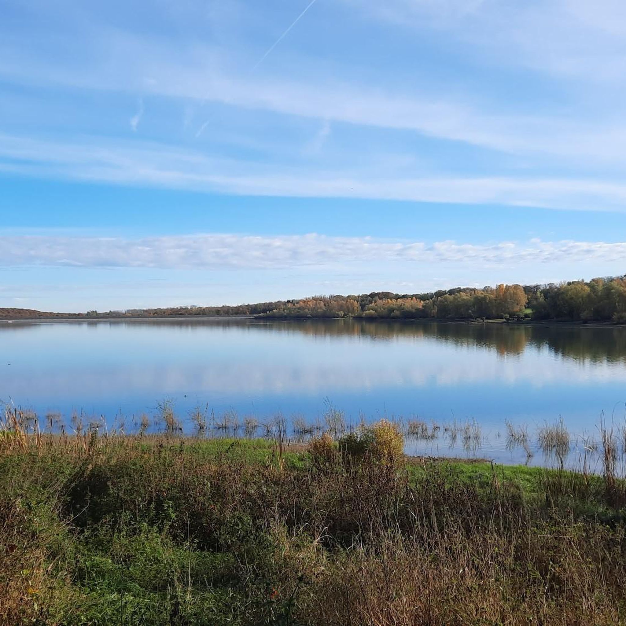
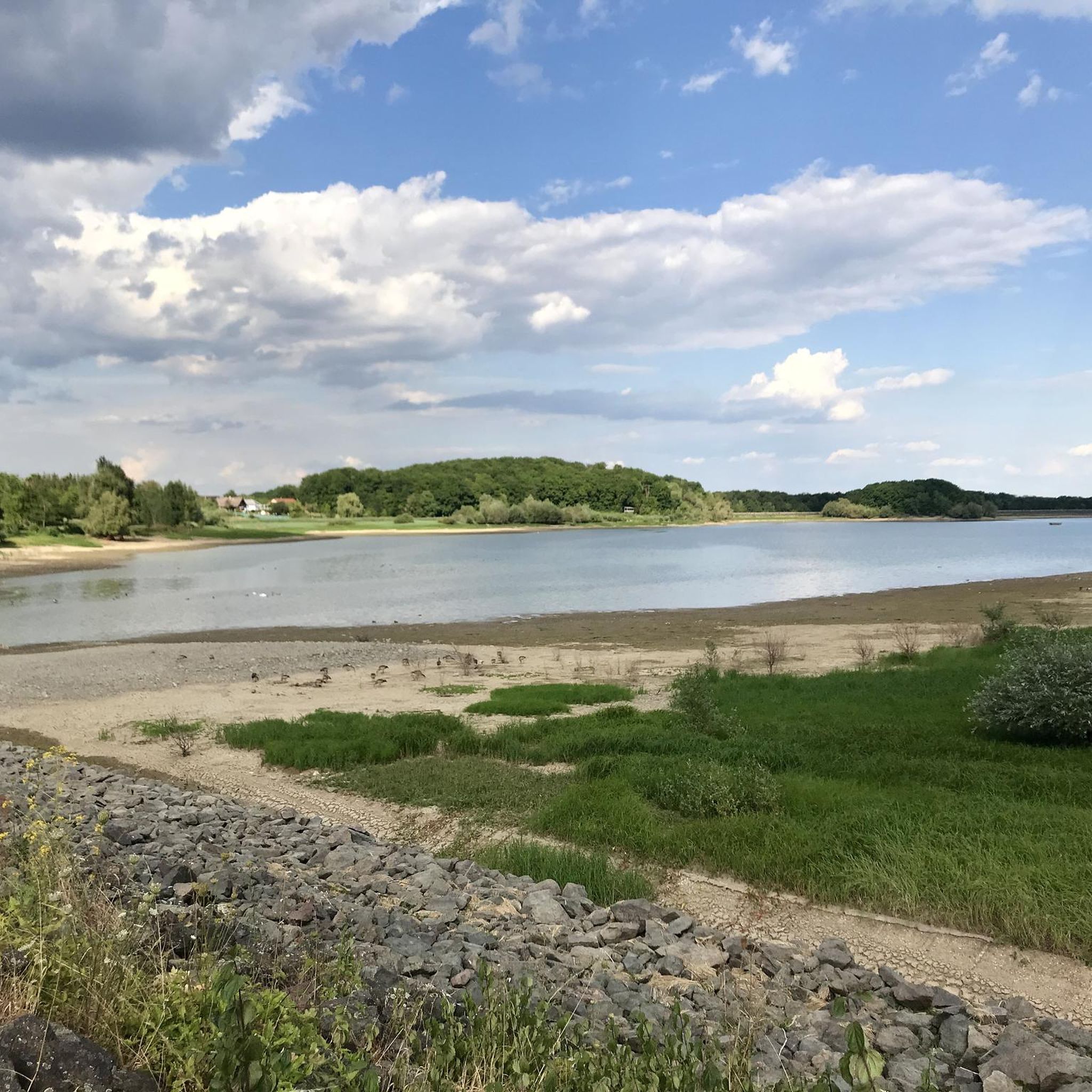
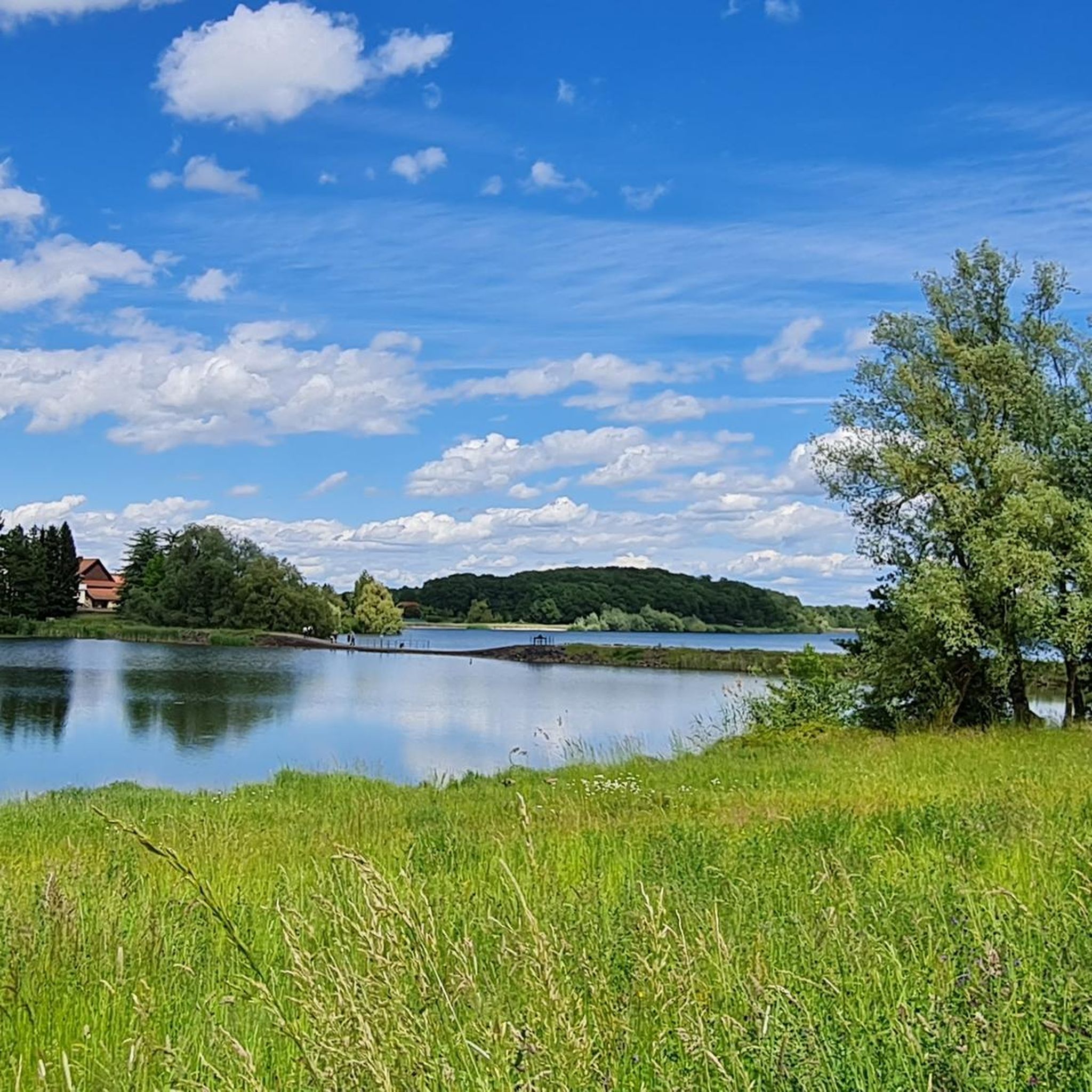
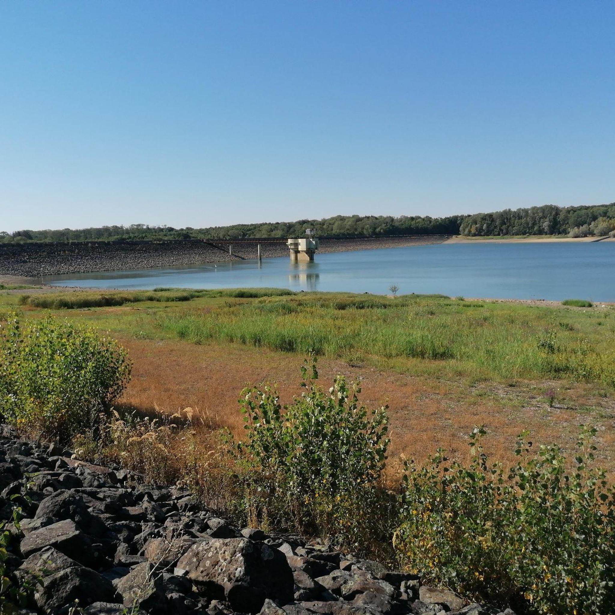
Touring cycling around plan d'eau de Michelbach offers routes through the foothills of the Vosges mountains, characterized by varied landscapes including fields, small villages, and the artificial lake itself. The area is situated within the Ballons des Vosges Regional Natural Park, providing a scenic backdrop for cycling. While the immediate lake perimeter is a nature reserve for walkers, the broader region features cycling paths and diverse terrain suitable for touring cyclists. The Michelbach Dam is a notable functional and scenic element in the area.
Best touring cycling routes around plan d'eau de Michelbach
- The most popular touring cycling route is Michelbach Dam – Michelbach Lake loop from Aspach-Michelbach, a 3.8 miles (6.0 km) trail that takes 27 minutes to complete. This easy route circles the artificial lake and dam, offering views of the water and surrounding nature.
- Another top favourite among local touring cyclists is Les Castors Campsite – Sentheim Train Station loop from Michelbach, an easy 15.8 miles (25.4 km) path. This route traverses fields and small villages, providing a varied landscape experience.
- Local touring cyclists also love the Michelbach Lake – Michelbach Dam loop from Michelbach, an 18.7 miles (30.1 km) trail leading through the area surrounding the lake and dam, often completed in about 1 hour 53 minutes.
- Touring cycling around plan d'eau de Michelbach is defined by routes through the Vosges mountains foothills, open fields, and past small villages. The network offers options for easy, moderate, and difficult routes, catering to different ability levels.
- The routes in plan d'eau de Michelbach are highly rated by the komoot community with an average score of 4.4 stars from over 600 reviews. More than 8000 touring cyclists have used komoot to explore plan d'eau de Michelbach's varied terrain.
Last updated: July 25, 2026
4
riders
6.05km
00:27
50m
50m
Easy bike ride. Great for any fitness level. Mostly paved surfaces. Suitable for all skill levels.
4.1
(11)
68
riders
24.3km
01:25
120m
120m
Easy bike ride. Great for any fitness level. Mostly paved surfaces. Suitable for all skill levels.

Sign up for free
5.0
(2)
11
riders
52.2km
03:10
200m
200m
Moderate bike ride. Good fitness required. Mostly paved surfaces. Suitable for all skill levels.
4.0
(2)
7
riders
25.8km
01:43
130m
130m
Easy bike ride. Great for any fitness level. Mostly paved surfaces. Suitable for all skill levels.
12
riders
36.5km
02:52
220m
220m
Moderate bike ride. Good fitness required. Mostly paved surfaces. Suitable for all skill levels.
Get access to more routes and recommendations from other explorers.
Sign up for free
Already have an account?
Our route recommendations are based on thousands of hikes, rides, and runs completed by other people on komoot.
Start today with a free account
Your next adventure awaits.
Login or Signup

Tips from the Community

The 19th century was characterized by industrialization, especially in the textile sector. In 1860, one of the first workers' settlements of a textile company was built. Like all of Alsace (except Belfort), Cernay became part of the German Empire in 1871 after the Franco-Prussian War, where it remained until 1918. During the First World War, Sennheim was on the front lines and was approximately 80 percent destroyed.
0
0

The French and European National Cycleway is a great cycleway winding along side of the Rhine Rhone Canal with very little climbing, for those who do not like to climb. However those who are climbing shy, must be aware of the wind in this area. A lot of the locks still have the former lock man’s house which adds a bit of charm to every lock. One is never alone on this route as there is a constant passing of bicycles, both leisure and racing bikes.
0
0
Like all of Alsace (except Belfort), Cernay became part of the German Empire in 1871 after the Franco-Prussian War, where it remained until 1918. During the First World War, Sennheim was on the front lines and was approximately 80 percent destroyed. After two decades of recovery, German troops marched into the town again on June 17, 1940. From 1940 to 1945, the Waffen-SS Sennheim training camp was located here in a former home for the mentally ill, where mainly non-commissioned officers from French-speaking countries, such as those for the Charlemagne Division, were trained. According to Yad Vashem, fifteen former Jewish residents of the community perished in the Holocaust. The town was again affected during the fighting for the Alsace bridgehead (Poche de Colmar).
0
0

The gate was part of the city fortifications; the other two gates were demolished in the 19th century. Only the lower part of the Porte de Thann dates back to the 13th century; the superstructure with its battlements and battlements was added in the 16th century. After the destruction in the First World War, the city gate was restored, and only three of its four floors were rebuilt. A museum was established in the building (Wikipedia).
6
0

Rivers and canals crisscross the country, the latter in particular being a crucial part of the transport infrastructure in earlier times. Later, first rail, and later again trucks, took over the task of transporting goods. In the competition between different modes of transport, they were faster and cheaper than barges – and thus more efficient. When building the artificial waterways, however, it had to be taken into account that differences in elevation always had to be overcome, and so locks are often lined up along the canals – at varying intervals, depending on the local situation. Only with their help was shipping possible.
0
0


The World War I Bunker Trail in Burnhaupt-le-Bas On the Bunker Trail, you can discover World War I fortifications built by the German army. After the fighting in the summer and autumn of 1914, the front in Upper Alsace stabilized on the Cernay-Dannemarie line. The municipal district of Burnhaupt-le-Bas remained on the German side. In December 1914 and January 1915, French offensives in this sector regularly clashed with the German lines. Numerous bunkers, command posts, and artillery posts. The tour can be done by mountain bike or on foot (hiking boots).
0
0

Cernay, German: Sennheim, is a well-kept town with almost 12,000 inhabitants.
2
0
Frequently Asked Questions
How many touring cycling routes are available around Plan d'eau de Michelbach?
There are over 300 touring cycling routes around Plan d'eau de Michelbach, offering a wide variety of options for different skill levels and preferences. The komoot community has rated these routes highly, with an average score of 4.4 stars.
What kind of terrain can I expect on touring cycling routes around Plan d'eau de Michelbach?
The region offers varied terrain, from open fields and small villages to the foothills of the Vosges mountains. While the immediate lake perimeter is a nature reserve for walkers, the broader area features dedicated cycling paths and scenic routes that include gentle climbs and descents, providing a diverse cycling experience.
Are there easy touring cycling routes suitable for beginners or families?
Yes, there are over 100 easy touring cycling routes. For instance, the Les Castors Campsite – Sentheim Train Station loop from Michelbach is an easy 25.4 km path that traverses fields and small villages, offering a pleasant ride for all skill levels.
Are there more challenging touring cycling routes for experienced cyclists?
Yes, the area provides over 100 difficult routes for experienced touring cyclists. These routes often feature more significant elevation changes and longer distances, exploring deeper into the Vosges foothills. An example of a moderate route is the Michelbach Lake – Michelbach Dam loop from Michelbach, which covers 30.1 km with notable ascents.
What natural features or landmarks can I see along the touring cycling routes?
Many routes offer views of the artificial Michelbach Lake and the impressive Michelbach Dam. The lake is also a regional nature reserve, known for birdwatching, and you might spot the Lake Observatory. The routes are set against the picturesque backdrop of the Vosges mountains, passing through verdant landscapes and small villages.
Can I find circular touring cycling routes in the area?
Yes, many of the touring cycling routes around Plan d'eau de Michelbach are circular, allowing you to start and end at the same point. An example is the popular Michelbach Dam – Michelbach Lake loop from Aspach-Michelbach, an easy 6.0 km route that circles the lake and dam.
Is there parking available near the touring cycling routes?
Yes, parking is generally available at various access points around the Plan d'eau de Michelbach and in nearby villages, making it convenient to start your cycling tour. Specific parking information can often be found on individual route descriptions.
Can I reach the area by public transport for cycling?
While direct public transport options to the immediate lake perimeter might be limited, the broader Thann Cernay area, which encompasses many of these cycling routes, is accessible by public transport, including train stations in towns like Sentheim. You may need to cycle a short distance from the station to reach specific trailheads.
Are dogs allowed on the touring cycling routes?
While the immediate path around the Plan d'eau de Michelbach is a protected nature reserve primarily for walkers and is sensitive to wildlife, many broader touring cycling routes in the surrounding region are generally dog-friendly. However, it's always best to keep dogs on a leash, especially in natural areas, and to check specific route details for any restrictions.
What do other touring cyclists say about the routes around Plan d'eau de Michelbach?
The touring cycling routes around Plan d'eau de Michelbach are highly rated by the komoot community, with an average score of 4.4 stars from over 600 reviews. Cyclists often praise the varied landscapes, the peaceful environment, and the well-maintained paths that cater to different skill levels, from easy loops around the lake to more challenging rides through the Vosges foothills.
What is the best time of year for touring cycling in this region?
The region is pleasant for cycling in various seasons. Spring and autumn offer comfortable temperatures and beautiful scenery with changing foliage. Summer provides warm weather, though some paths around the lake are shaded, offering respite. It's always advisable to check local weather conditions before heading out.
Are there routes that explore the villages and fields, not just the lake?
Absolutely. Many routes extend beyond the immediate vicinity of the lake, taking you through charming small villages and expansive fields. For example, the Blue drawbridge Zillisheim – Eglingen Lock loop from Michelbach is a moderate 52.0 km route that explores the wider rural landscape, offering a different perspective of the region.
Most popular routes around plan d'eau de Michelbach
Most popular attractions around plan d'eau de Michelbach

Get inspired with the komoot mobile app


Explore more
Browse the best Cycling routes in other regions.
