The best walks and hikes around Buseck
4.6
(6861)
27,567
hikers
154
hikes
Hiking around Buseck offers diverse terrain characterized by rolling hills and extensive forests. Situated on the edge of the Vogelsberg mountains, the region features landscapes shaped by volcanic origins. Numerous hiking trails follow the Lahn and Ohm rivers, providing waterside scenery within the Giessen Lahn valleys. This area provides varied natural features for outdoor exploration.
Best hiking trails around Buseck
- The most popular hiking route is Hangelstein Stone Cairns – View from the Lollarer Kopf loop from Alten-Buseck, a 8.0…
Last updated: August 15, 2026
4.2
(6)
32
hikers
5.41km
01:28
70m
70m
Easy hike. Great for any fitness level. Easily-accessible paths. Suitable for all skill levels.
5.0
(4)
17
hikers
5.90km
01:36
80m
70m
Easy hike. Great for any fitness level. Easily-accessible paths. Suitable for all skill levels.

Sign up for free
4.0
(4)
19
hikers
10.3km
02:46
130m
130m
Moderate hike. Good fitness required. Easily-accessible paths. Suitable for all skill levels.
4.5
(35)
33
hikers
Easy hike. Great for any fitness level. Easily-accessible paths. Suitable for all skill levels.
4.8
(6)
29
hikers
6.06km
01:38
80m
80m
Easy hike. Great for any fitness level. Easily-accessible paths. Suitable for all skill levels.
Get access to more routes and recommendations from other explorers.
Sign up for free
Already have an account?
Our route recommendations are based on thousands of hikes, rides, and runs completed by other people on komoot.
Start today with a free account
Your next adventure awaits.
Login or Signup

Tips from the Community

The square in front of the Thal Town Hall is also used as a market square.
1
0
After a long period of renovation, the synagogue is accessible again.
1
0
With good visibility, the Taunus and the Großer Feldberg with its towers are clearly visible.
1
0
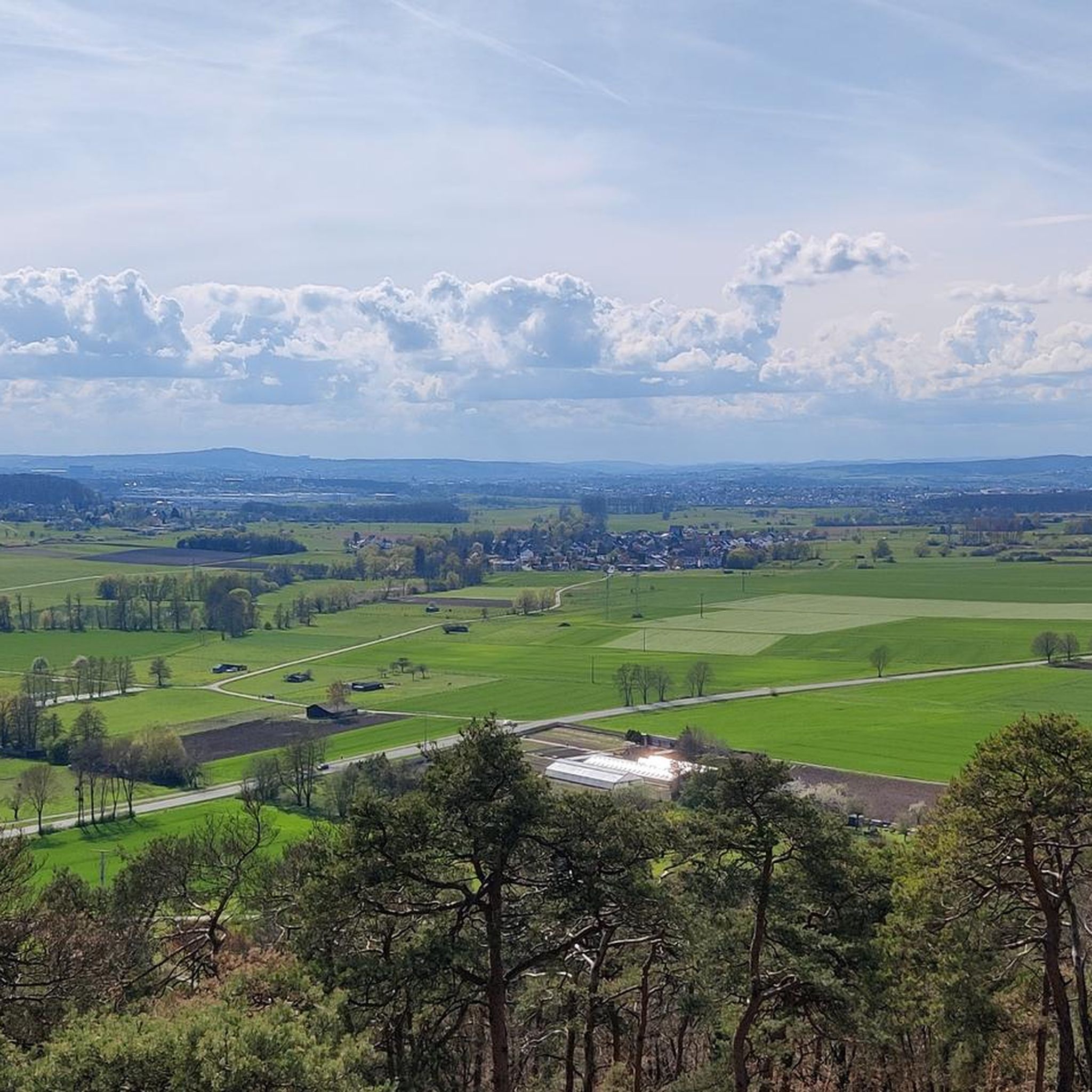
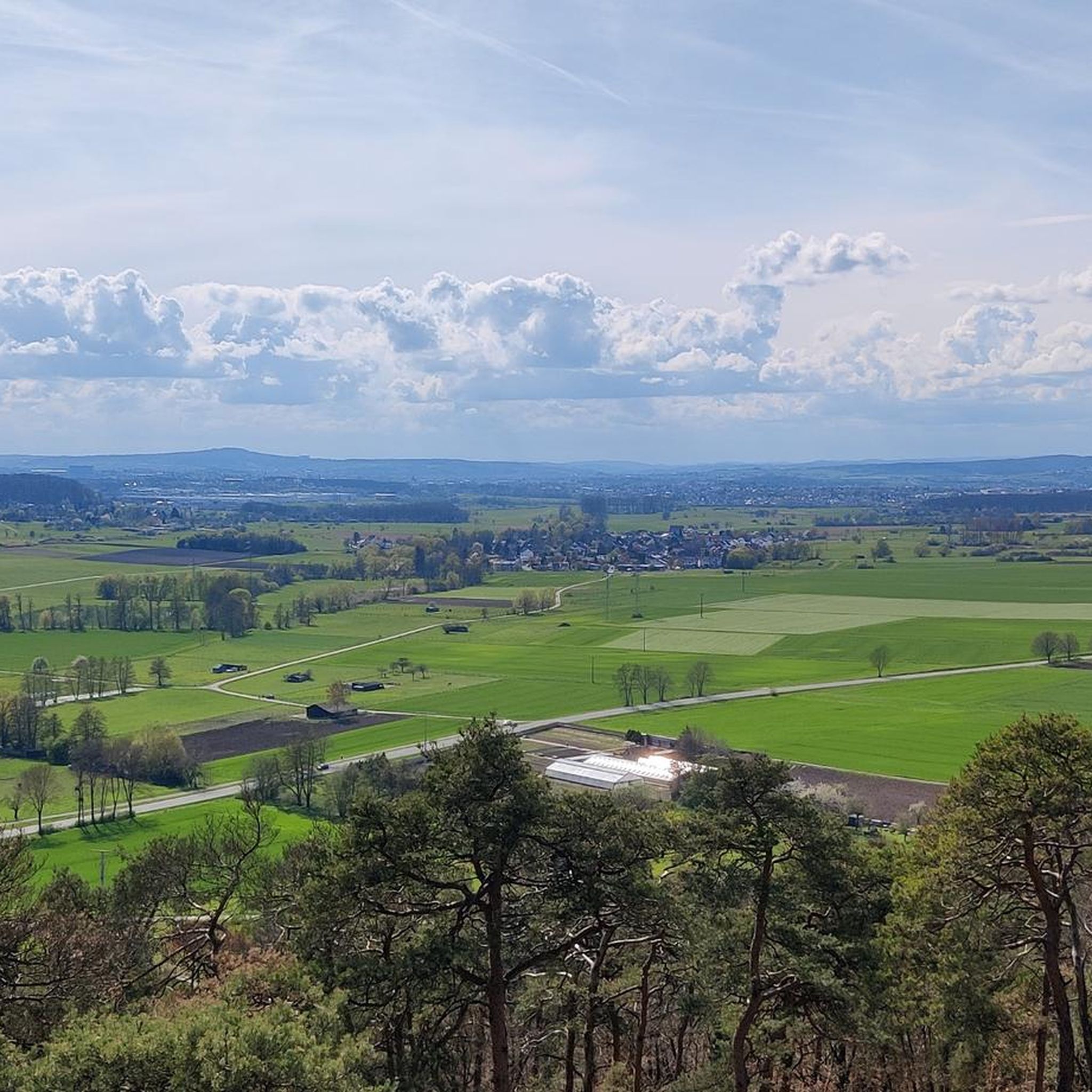
Beautiful view towards Buseck, of the high-rise buildings and grazing cows.
1
0
Beautiful view towards Gießen and beyond.
1
0
Old grounds of the Buseck Bird Protection Association. Unfortunately, it is also already partly marked by the ravages of time.
1
0

Beautiful resting spot with an almost year-round view of Gießen and a whole lot of cows.
0
0
Beautiful view up to the Stoppelberg near Wetzlar.
0
0
Frequently Asked Questions
How many hiking trails are available around Buseck?
Buseck offers a wide variety of hiking experiences, with over 150 trails to explore. These range from easy strolls to more challenging routes, catering to all levels of experience.
What kind of terrain can I expect on Buseck's hiking trails?
The terrain around Buseck is characterized by rolling hills and extensive forests, situated on the edge of the Vogelsberg mountains. You'll find landscapes shaped by volcanic origins, and many paths meander along the Lahn and Ohm rivers, offering pleasant waterside scenery.
Are there easy hiking trails suitable for beginners or casual walkers in Buseck?
Yes, Buseck has numerous easy trails. Over 100 of the available routes are classified as easy. An example is the Großen-Buseck Castle – Historic Jewish Cemetery loop from Buseck, which is an easy 5.4 km path combining historical landmarks with natural surroundings.
Can I find circular hiking routes in Buseck?
Yes, many of Buseck's trails are designed as circular routes, allowing you to start and end at the same point. For instance, the moderate Hangelstein Stone Cairns – View from the Lollarer Kopf loop from Alten-Buseck is a popular 12.8 km option offering scenic views.
What historical landmarks or points of interest can I see while hiking in Buseck?
Buseck's trails often lead past interesting historical sites. You might encounter structures like Rauischholzhausen Castle or the Arnsburg Monastery. The Großen-Buseck Castle – Buseck Town Hall loop from Buseck is a 6.0 km trail that specifically highlights local historical sites.
Are there any viewpoints or scenic spots along the trails?
Absolutely. The region's rolling hills and volcanic origins provide several scenic spots. The View from the Lollarer Kopf is a notable viewpoint that can be incorporated into longer hikes, offering expansive vistas of the surrounding landscape.
What is the best time of year to go hiking in Buseck?
The warm season, from spring to autumn, is particularly well-suited for enjoying outdoor activities in Buseck. During these months, the forests are verdant, and the weather is generally pleasant for hiking.
Are there any family-friendly hiking options in Buseck?
Many of the easy trails in Buseck are suitable for families. The diverse and well-maintained paths through forests and along rivers provide a pleasant environment for all ages. Look for shorter, less strenuous routes for younger children.
Is it possible to reach hiking trails in Buseck using public transport?
Yes, some trails are accessible via public transport. For example, the Großen-Buseck Train Station – Busecker Valley loop from Großen-Buseck starts directly from a train station, making it convenient for those using public transport.
What do other hikers say about the trails in Buseck?
The routes in Buseck are highly rated by the komoot community, with an average score of 4.7 stars from over 400 reviews. Hikers often praise the diverse terrain, well-maintained paths, and the blend of natural beauty with historical points of interest.
Are there any moderate hiking trails for those looking for a bit more challenge?
Yes, Buseck offers 45 moderate trails for hikers seeking a slightly more challenging experience. The Schlossteich – Großen-Buseck Castle loop from Großen-Buseck is a moderate 10.2 km route that provides a good balance of distance and elevation.
Are there any shelters or huts along the hiking routes in Buseck?
Yes, you can find various shelters and huts in the area that can be useful during your hike. Notable spots include the Klauseborn Hut and the Shelter at Bellnhäuser Weg, offering places to rest or take cover.
Most popular routes around Buseck
Most popular attractions around Buseck

Get inspired with the komoot mobile app


Explore more
Browse the best Hikes in other regions.
