The best mountain hikes around Lac de Gréziolles
4.7
(26)
122
hikers
11
hikes
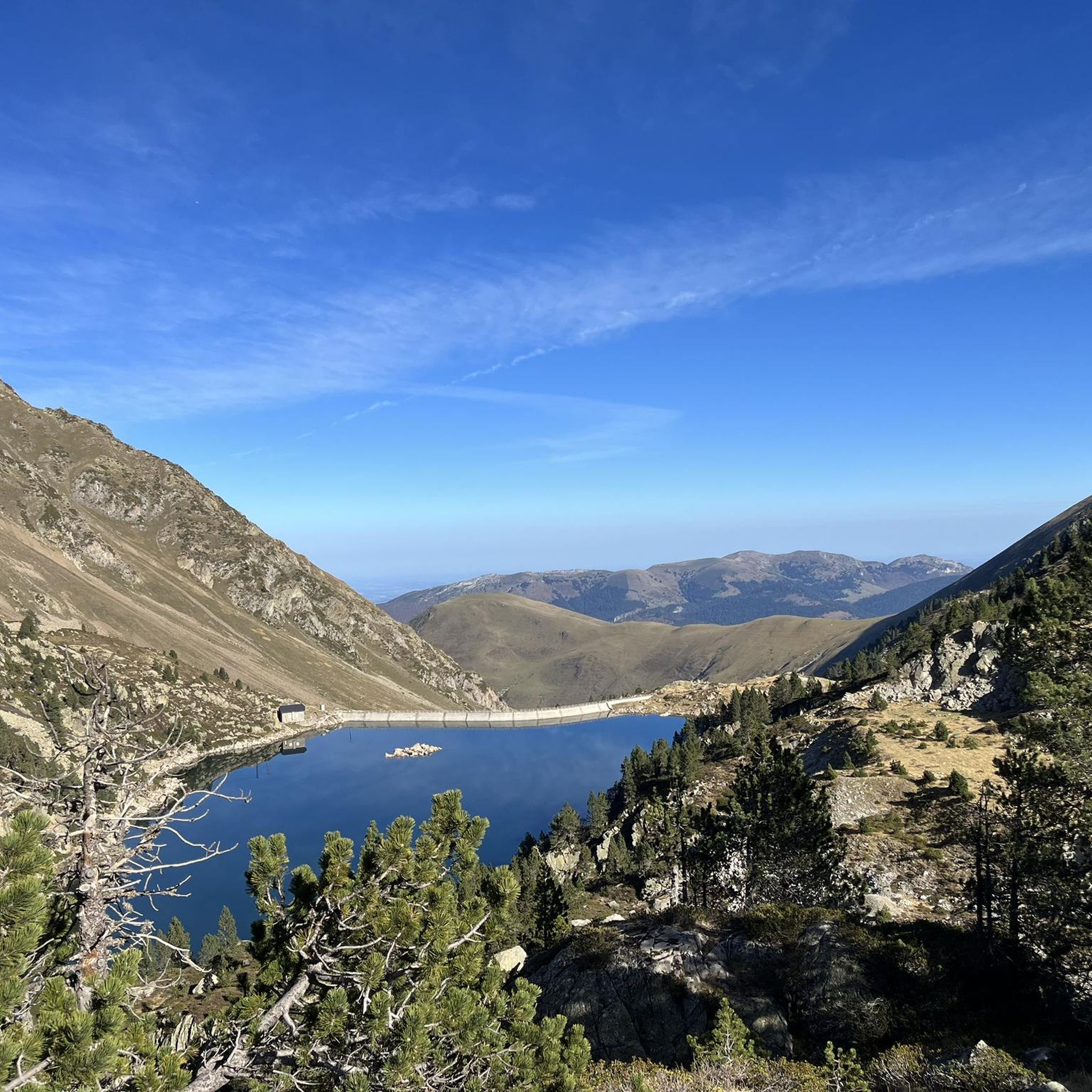
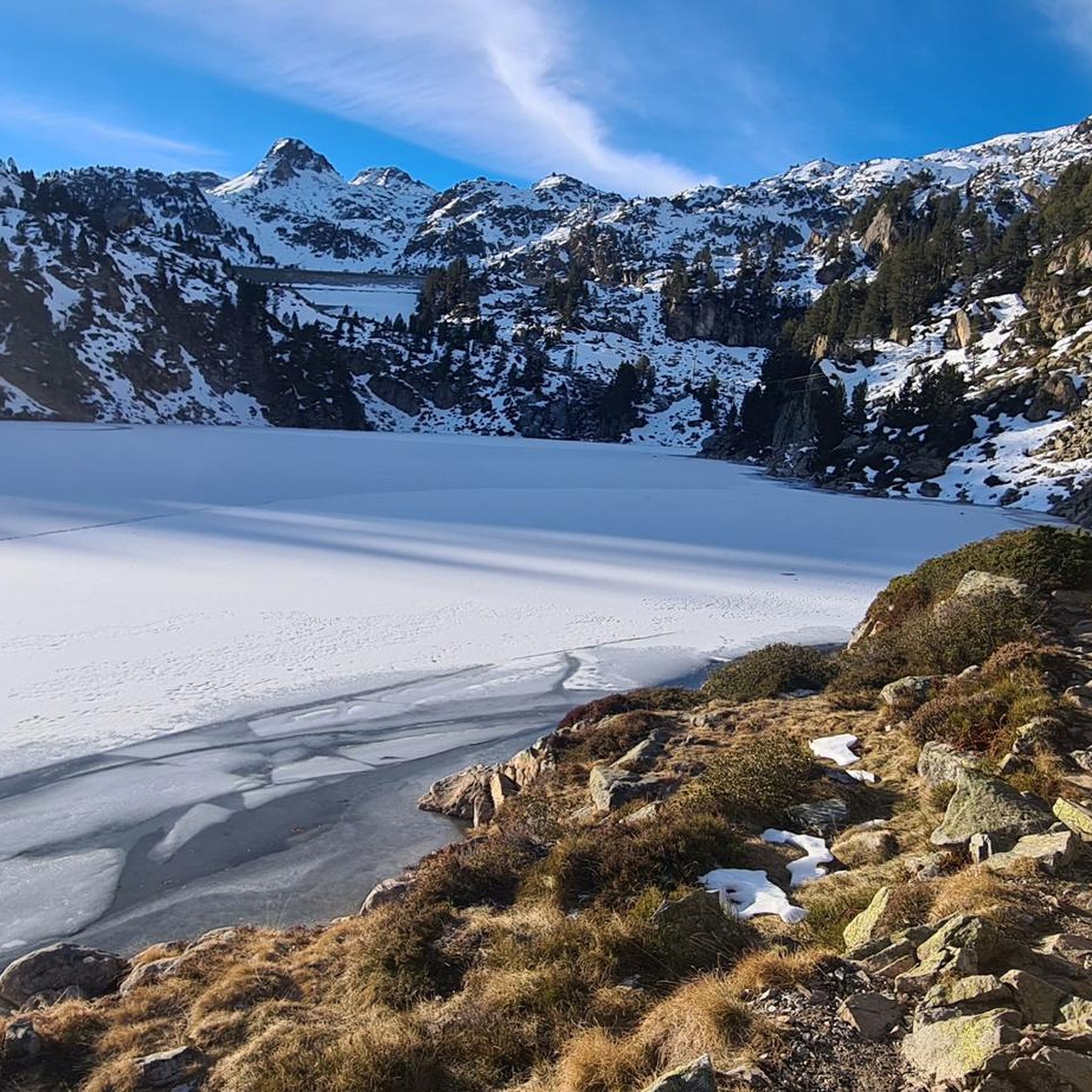
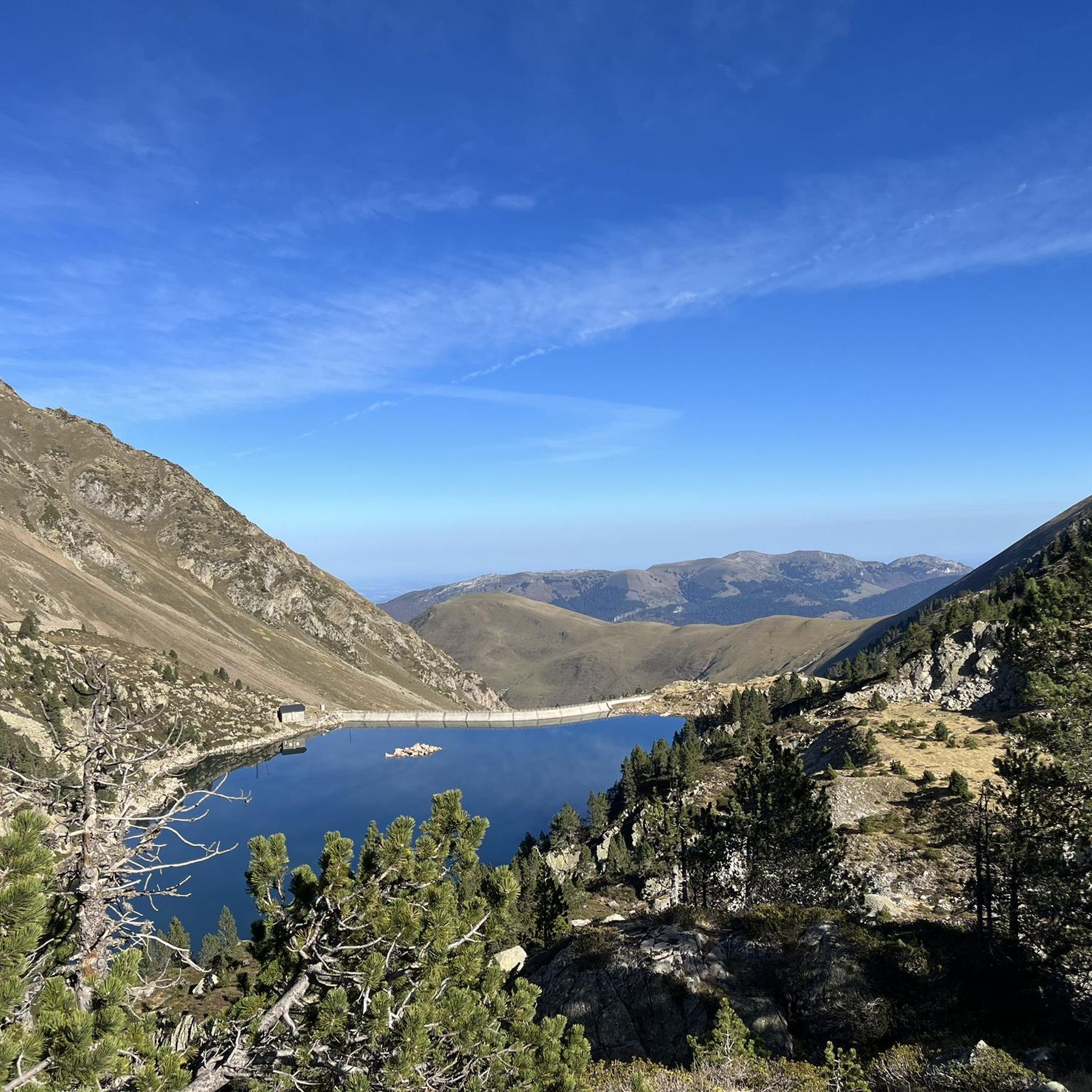
Mountaineering routes around Lac de Gréziolles traverse a high-altitude landscape characterized by glacial lakes, mountain passes, and rugged peaks within the Pyrenees. The terrain features significant elevation changes, with routes often leading through rocky sections and alpine meadows. This region offers a challenging environment for experienced mountaineers, with numerous difficult ascents and descents.
Best mountaineering routes around Lac de Gréziolles
- The most popular mountaineering route is Réservoir des Laquets – Laquette de Gréziolles loop from Caderolles, an 8.2 miles…
Last updated: October 7, 2026
5.0
(5)
14
hikers
13.1km
05:59
810m
810m
Hard mountaineering route. Very good fitness required. Mostly accessible paths. Sure-footedness required.
5.0
(1)
8
hikers
21.9km
09:39
1,610m
1,610m
Hard mountaineering route. Very good fitness required. Mostly accessible paths. Sure-footedness required.

8
hikers
16.3km
06:47
1,050m
1,050m
Hard mountaineering route. Very good fitness required. Mostly accessible paths. Sure-footedness required.
5.0
(8)
36
hikers
Moderate mountaineering route. Good fitness required. Easily-accessible paths. Suitable for all skill levels.
4.5
(2)
5
hikers
11.8km
04:10
270m
270m
Moderate mountaineering route. Good fitness required. Mostly accessible paths. Sure-footedness required.
Get access to more routes and recommendations from other explorers.
Already have an account?
Our route recommendations are based on thousands of hikes, rides, and runs completed by other people on komoot.
Start today with a free account
Your next adventure awaits.

Tips from the Community

the pic du midi de bigorre is accessible to hikers, BUT without access to the same terraces, no restaurant or snack bar, no toilets, or the void walkway. it is possible to access it for 30 euros per person. a free water point is available. the site is nevertheless remarkable
0
0

Beautiful lake next to the Bastan refuge
0
0

There you'll find expert advice on what to do next on your hikes. If you stay the evening, the dining room is welcoming and the meals are delicious and plentiful. The nearby bivouac area can accommodate around ten tents.
0
0

An amazing view, with the added bonus of some spectacular fine dining (book in advance for dining!)
0
0

Ascent to the summit on foot; no cable car access until 2027. No access to the restaurant or restrooms, but drinking water is available.
0
1

Difficult pass at first, especially in the heat. Easier after the first third. Be careful of the unlit tunnel 1 km from the summit. For added peace and quiet, the road leading up to the pass is closed to traffic from 4 p.m. to 6 p.m.
0
0

Do it in the evening for the sunset, it's magnificent or conversely to admire the sunrise. The night of stars is magnificent! 🤩
0
1

Culminating at 2,215 meters above sea level, it is the highest pass in the Pyrenees taken by a road. Overlooking the village of Saint-Lary Soulan, it offers a lovely panorama of the valley.
0
0
Frequently Asked Questions
What is the general difficulty level of mountaineering routes around Lac de Gréziolles?
The routes around Lac de Gréziolles are primarily designed for experienced mountaineers. While there are no easy routes, you'll find 4 moderate and 9 difficult options. This region is characterized by significant elevation changes and rugged terrain, making it a challenging environment.
Are there any circular mountaineering routes available?
Yes, several routes offer a circular experience, allowing you to return to your starting point without retracing your steps. Notable circular routes include the challenging Réservoir des Laquets – Laquette de Gréziolles loop from Caderolles and the demanding Col de Sencours loop from Artigues.
What are the typical distances and durations for mountaineering trails in this area?
Mountaineering routes around Lac de Gréziolles vary in length and time. For instance, the Lac d'Arizes – La Montagnette loop from Artigues is about 9.5 miles (15.3 km) and takes around 6 hours 28 minutes. Longer routes, like the Col de Sencours loop from Artigues, can be up to 13.6 miles (22.0 km) and require significantly more time due to substantial elevation gains.
Where can I find parking for mountaineering near Lac de Gréziolles?
Many mountaineering routes in the area start from accessible points like Caderolles or Artigues, which typically offer parking facilities. For example, the Réservoir des Laquets – Laquette de Gréziolles loop begins from Caderolles, a common starting point for exploring the region.
What is the best time of year for mountaineering around Lac de Gréziolles?
The ideal time for mountaineering in the high-altitude Pyrenees, including Lac de Gréziolles, is generally from late June to early October. During these months, snowmelt has typically receded from higher passes, and weather conditions are more stable, though always be prepared for sudden changes.
Are there any moderate mountaineering options for those looking for a less extreme challenge?
Yes, while many routes are difficult, there are moderate options available. The Col de Sencours loop from Col du Tourmalet is a moderate 8.1-mile (13.0 km) route, offering a significant challenge without the extreme demands of the most difficult trails. Another moderate choice is the Middle Bastan Lake – Upper Bastan Lake loop from Col de Portet.
What are the winter mountaineering conditions like around Lac de Gréziolles?
Winter mountaineering around Lac de Gréziolles is extremely challenging and suitable only for highly experienced individuals with appropriate winter gear and avalanche awareness. The terrain becomes snow-covered and icy, with significant avalanche risk. It's crucial to check current conditions and forecasts from local mountain authorities before attempting any winter ascents.
What do other mountaineers say about the routes in Lac de Gréziolles?
The routes in Lac de Gréziolles are highly regarded by the komoot community, holding an impressive average rating of 4.8 out of 5 stars from 30 reviews. Mountaineers frequently praise the stunning high-alpine scenery, the challenge of the ascents, and the rewarding views of the glacial lakes and rugged peaks.
Are the mountaineering routes around Lac de Gréziolles suitable for families?
Given the challenging nature of the terrain, with significant elevation changes and difficult sections, most mountaineering routes around Lac de Gréziolles are not typically recommended for young children or families without extensive mountaineering experience. The region is better suited for experienced hikers and mountaineers.
Can I bring my dog on the mountaineering trails?
While many areas in the Pyrenees allow dogs, regulations can vary, especially within protected natural areas. It's always best to check specific local signage or contact the regional park authority for the most up-to-date information regarding dog access on trails around Lac de Gréziolles, and always keep your dog on a leash.
Are there any places to get food or drinks after a mountaineering trip?
The immediate vicinity of Lac de Gréziolles is remote and lacks direct facilities. However, after descending from the high mountains, you can typically find cafes and restaurants in nearby villages or towns such as Artigues or around the Col du Tourmalet area, which serve as common starting or ending points for many routes.
What kind of gear should I bring for mountaineering in this region?
For mountaineering around Lac de Gréziolles, essential gear includes sturdy hiking boots, layered clothing suitable for varying alpine weather, rain and wind protection, a map and compass (or GPS device), sufficient water and food, sun protection, and a first-aid kit. Depending on the specific route and conditions, trekking poles, a helmet, and even crampons/ice axe might be necessary.
Most popular routes around Lac de Gréziolles

Get inspired with the komoot mobile app


Explore more
Browse the best Mountain Hikes & Routes in other regions.
