The best MTB trails around Cheverell Magna
4.6
(58)
310
riders
49
rides
Mountain biking around Cheverell Magna provides access to varied terrain on the northern edge of Salisbury Plain. The landscape features expansive open spaces, wide gravel tracks, and areas of chalk grassland. The region extends onto higher ground, offering diverse riding conditions for mountain bikers. Proximity to the Imber Range Perimeter Path also contributes to the network of available routes.
Best mountain bike trails around Cheverell Magna
- The most popular mountain bike trail is Stonehenge – Stonehenge loop from Market Lavington…
Last updated: May 14, 2026
4.5
(2)
20
riders
55.7km
04:19
540m
540m
Moderate mountain bike ride. Good fitness required. Suitable for all skill levels.
5
riders
56.3km
04:39
670m
670m
Moderate mountain bike ride. Good fitness required. Advanced riding skills necessary.

Sign up for free
4
riders
Moderate mountain bike ride. Good fitness required. Suitable for all skill levels.
5.0
(1)
8
riders
27.0km
01:54
310m
310m
Moderate mountain bike ride. Good fitness required. Suitable for all skill levels.
5.0
(1)
9
riders
41.5km
02:57
550m
550m
Moderate mountain bike ride. Good fitness required. Suitable for all skill levels.
Get access to more routes and recommendations from other explorers.
Sign up for free
Already have an account?
Our route recommendations are based on thousands of hikes, rides, and runs completed by other people on komoot.
Start today with a free account
Your next adventure awaits.
Login or Signup

Tips from the Community

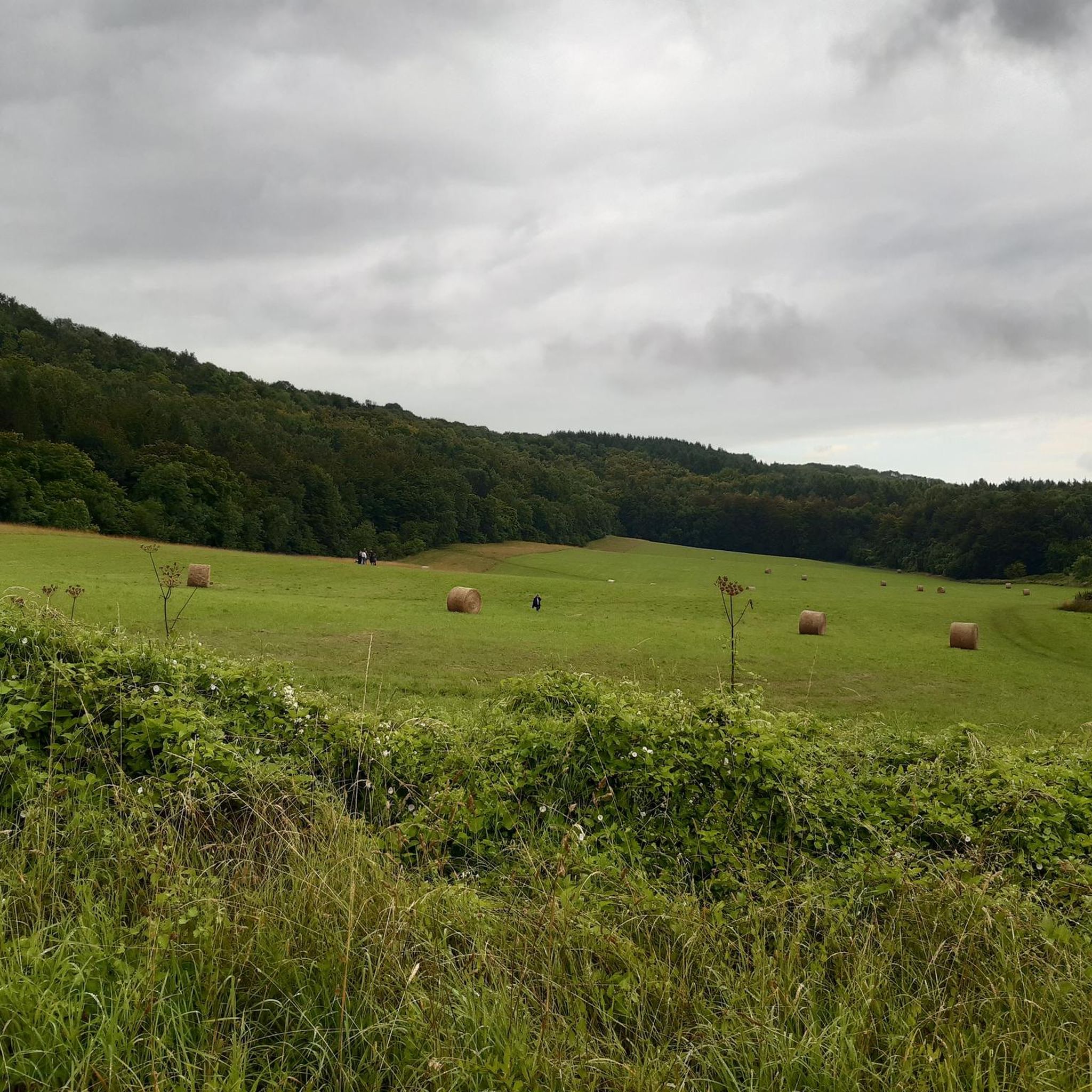
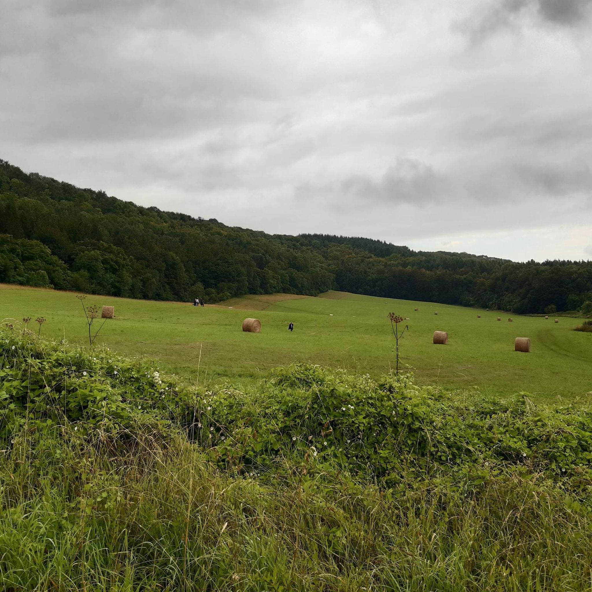
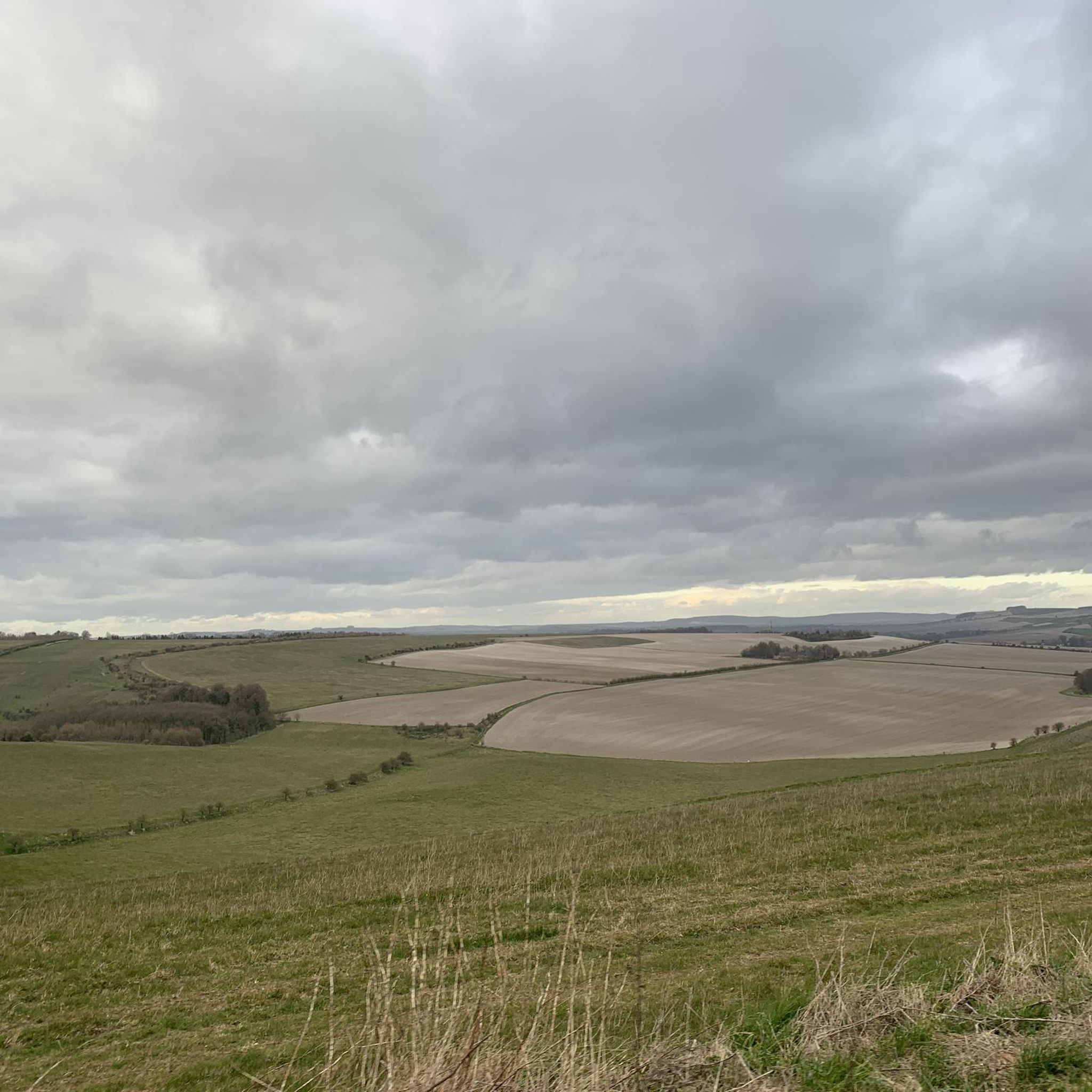
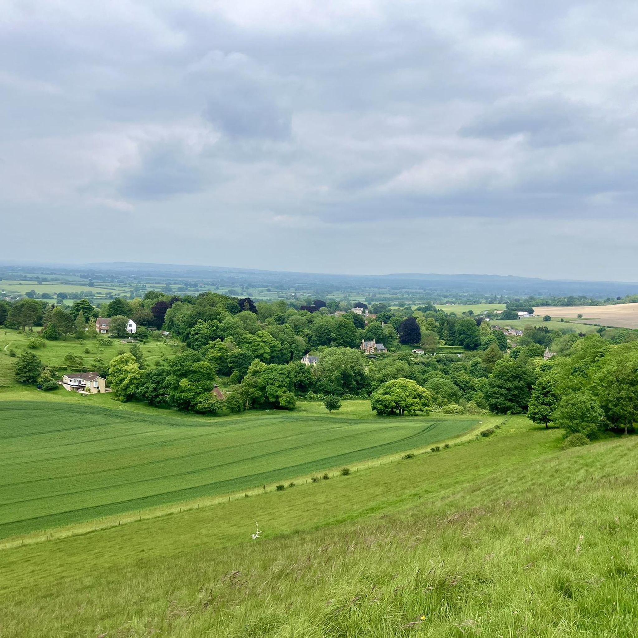
A great view point, even on a murky day. As well as the White Horse, there is Bratton Camp, an old hill fort and the art installation behind.
0
0

Directly behind REDHORN Vedette building. The path is a bridleway when the flags are down.
0
0


Take the small path just over the entrance road to Stonehenge, on the right This leads you right oast the stones and some lovely picture opportunities. It then goes over grass to a double gate beside the A303. You need to cross over the A303 to be able to ride safely up the hill on the pathway and then cross back over at the top to rejoin the gravel. Or simply cycle uo the grass verge as I did but this is a lot more sketchy. A fantastic ride and you are only 10 mins from the end.
0
0
Just a fabulous summer gravel ride, very highly recommended. Deep ruts in places and lots of gnarly, sharp, flint gravel. So strong tyres recommended. This is a ride where bike handling skills are important on some narrow/ rutted descents. Very steep hill 16% after Berwick St James Cannot recommended this ride highly enough, simply stunning.
0
0
Be aware that after Stonhenge the route takes you down hill on a grass path and you terminate at a double gate beside the A303. The route then indicates to go up the hill to the left apparently on the A303. However, I believe that if you cross over the A303 again ( traffic is pretty slow here usually but do exercise great caution). I think there is a foot path the other side of the A303 that you can ride on in safety up the hill before crossing back over to follow the track again I missed this foot path and rode on the verge, not as nice.
0
0
Fantastic summer ride. Highly recommended, just so beautiful on a warm sunny day. Navigation can be a little tricky but just use common sense. Such great views and such remote places. Really special. Also do stop at the lovely cafe at Berwick St James, a total surprise and a refreshment delight! This really is a great ride and one of the best that will stand out all summer. I used a hard tail mtb and would recommend this and quite tough tyres. As this is over a lot of pretty gnarly loose flint gravel which can give tyres a very hard time. Definitely carry spares and a pump. Great views of Stonehenge, couldn't believe the crowds and you want the little path just past the entrance road to the Stones not the entrance road. There is someone there usually to assist you. Cannot recommend this ride highly enough!. There is a steep hill just after Duck lane at Berwick St. James which tops out at 16% " Whitehill". Although the left hand fork on the approach leads to the same place.
0
0

This is can be a slight detour off the Imber range perimeter path . Requires a descent, and a subsequent ascent back to the perimeter path. Kahoot recommends, but we did not appreciate, if you’re short of puff, stay on the upper path.
0
0
Frequently Asked Questions
How many mountain bike trails are available around Cheverell Magna?
There are over 45 mountain bike trails available around Cheverell Magna, offering a variety of options for different skill levels. The komoot community has explored these routes over 300 times.
What kind of terrain can I expect on mountain bike trails near Cheverell Magna?
The terrain around Cheverell Magna is varied, featuring expansive open spaces, wide gravel tracks, and areas of chalk grassland. You'll find routes that extend onto higher ground, providing diverse riding conditions, particularly on the northern edge of Salisbury Plain and sections of the Imber Range Perimeter Path.
Are there mountain bike trails suitable for beginners or families in Cheverell Magna?
Yes, Cheverell Magna offers a good selection of easier trails. There are 19 easy mountain bike routes available, which are generally suitable for beginners or families looking for a less strenuous ride. These routes often feature less challenging gradients and smoother surfaces.
Are there any challenging mountain bike trails for experienced riders?
While most routes are moderate, there is at least one difficult mountain bike trail available for experienced riders seeking a greater challenge. The area's varied terrain, including sections of the Imber Range Perimeter Path and routes with significant elevation gain, can provide a demanding experience.
What do other mountain bikers say about the trails in Cheverell Magna?
The mountain bike trails around Cheverell Magna are highly rated by the komoot community, with an average score of 4.5 stars from over 50 reviews. Riders often praise the expansive views, the open landscapes, and the well-maintained gravel tracks, particularly those traversing Salisbury Plain.
Are there circular mountain bike routes available in the area?
Yes, many of the mountain bike routes around Cheverell Magna are designed as circular loops. For example, the Imber Range Path – Imber Gravel Road loop from Erlestoke is a moderate 27 km circular route that takes you through varied terrain.
What natural features or landmarks can I see while mountain biking near Cheverell Magna?
While mountain biking, you can encounter significant natural features like the chalk grassland of Great Cheverell Hill, a designated biological Site of Special Scientific Interest. Routes often provide views of the expansive Salisbury Plain. You might also pass by highlights such as Caen Hill Locks or the iconic Westbury White Horse and Bratton Camp, offering scenic and historical points of interest.
Is there parking available near the mountain bike trails in Cheverell Magna?
While specific parking facilities for each trail are not detailed, many routes start from villages like Market Lavington or Erlestoke, where public parking options are generally available. It's advisable to check local signage for parking regulations before your ride.
Can I bring my dog on the mountain bike trails around Cheverell Magna?
Many public rights of way and bridleways in the UK are dog-friendly, provided dogs are kept under control, especially around livestock. Given the open landscapes and rural nature of the area, it's likely that many trails are suitable for dogs. However, always be mindful of local regulations, particularly within the Imber Range military training area or SSSI sites, and ensure your dog doesn't disturb wildlife or farm animals.
What are the best times of year to go mountain biking in Cheverell Magna?
The best times for mountain biking in Cheverell Magna are typically spring and autumn when the weather is milder and the trails are less likely to be extremely muddy or dusty. Summer offers longer daylight hours but can be hot, while winter rides may be challenging due to colder temperatures and potentially wet, slippery conditions on chalk and gravel tracks.
Are there any pubs or cafes along the mountain bike routes for refreshments?
Cheverell Magna and nearby villages like Market Lavington and Erlestoke offer local pubs and cafes where you can find refreshments. While specific establishments directly on every route are not listed, planning your ride to pass through these villages will provide opportunities for a break and a bite to eat.
Are there any routes that offer particularly good views of Salisbury Plain?
Yes, several routes provide excellent views of Salisbury Plain. The View from Westbury White Horse – Imber Range Perimeter Path loop from Edington is a moderate 41 km route that offers expansive vistas, including the iconic Westbury White Horse and the vastness of Salisbury Plain.
Most popular attractions around Cheverell Magna

Get inspired with the komoot mobile app


Explore more
Browse the best MTB trails in other regions.
