The 6 Most Amazing Peaks around Chicklade
Best mountain peaks around Chicklade are found within a hilly landscape, rather than traditional mountains. The area features an average elevation of around 181 meters, with the highest point in the parish being Cratt Hill at 225 meters. Visitors can explore higher ground such as Bockerly Hill and the nearby Great Ridge Wood, which offer routes for walks and hikes. The terrain provides opportunities for experiencing the undulating English countryside.
Best mountain peaks around Chicklade
- The most popular mountain peaks…
Last updated: May 17, 2026
Cold Kitchen Hill Trig Point
Highlight • Viewpoint
Tip by

Middle Hill
Highlight • Historical Site
Tip by

Sign up now to discover places like this
Get recommendations on the best single tracks, peaks, & plenty of other exciting outdoor places.
Sign up for free
Cotley Hill
Highlight (Segment) • Viewpoint
Tip by

View of Wylye Valley
Highlight • Summit
Tip by

Knook Horse Hill
Highlight • Viewpoint
Tip by

Start today with a free account
Your next adventure awaits.
Login or Signup


Tips from the Community

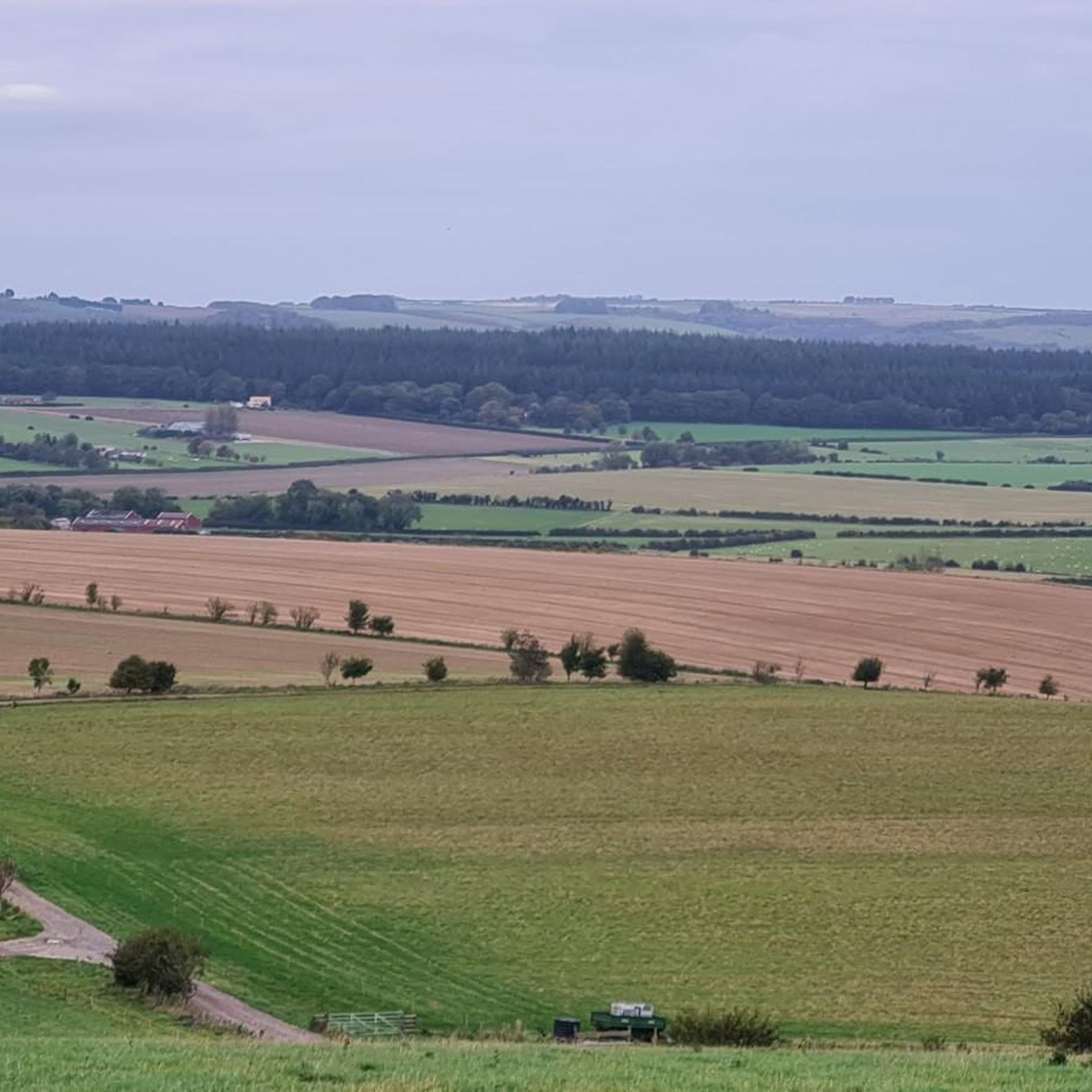
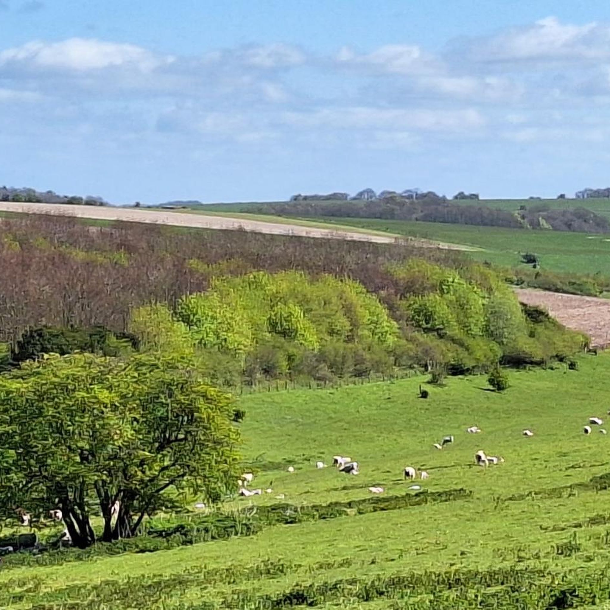
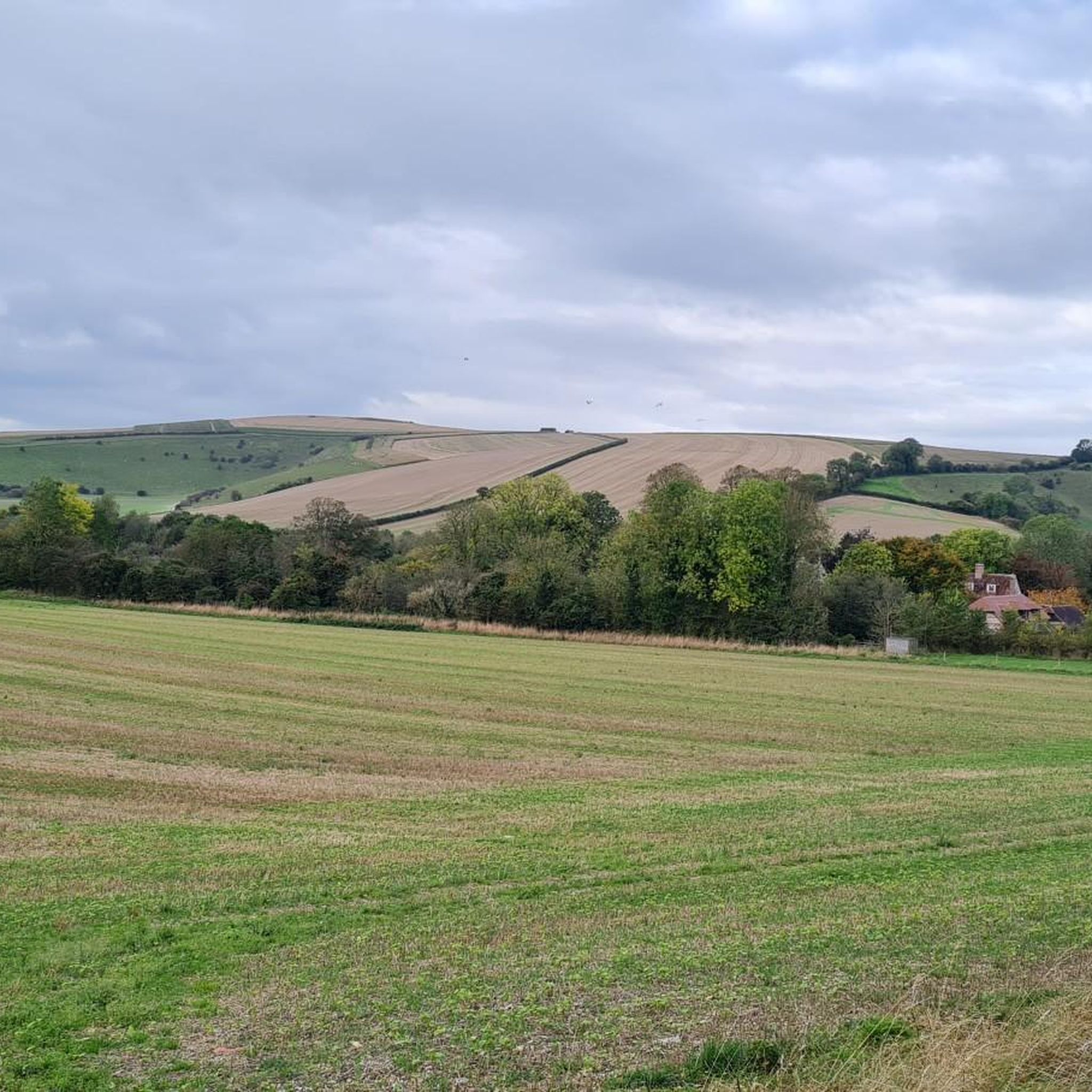
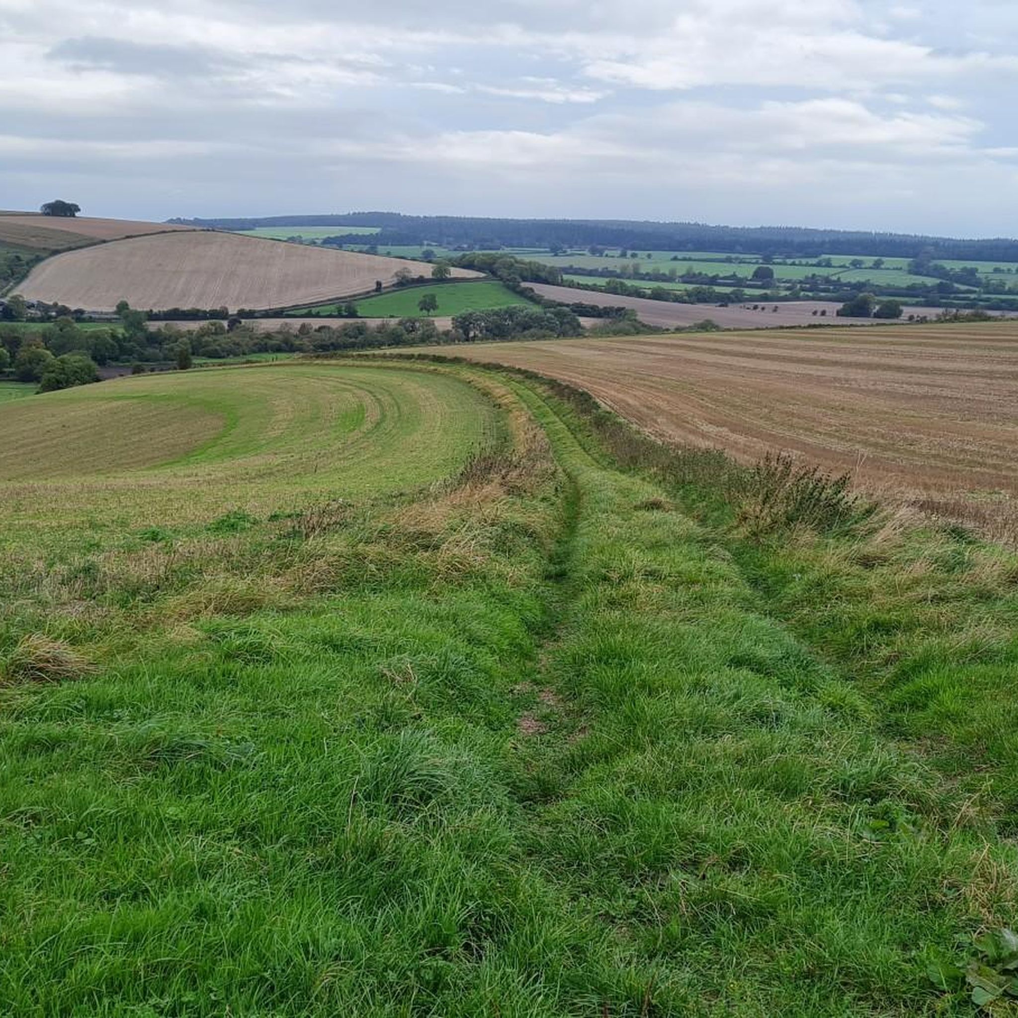
Good climb, was across fields but fine today as they’ve been harvested. Might have been tricky earlier in the year
0
0

Amazing views of the hills. If your lucky you can see the gliders circling above from the Wing Farm Airfield
0
0

an absolutely beautiful halfway point to sit and have a snack or two. the views are breathtaking.
0
0

Knook Horse Hill stands at 178 m to the south-east of the Imber Range. It's a good climb up from the River Wylye and makes a nice loop from Heytesbury.
0
0
Knook Horse Hill stands at 178 m to the south-east of the Imber Range. It's a good climb up from the River Wylye and makes a nice looping walk from Heytesbury.
0
0
Cold Kitchen Hill has a trig point at 257 m. Alfred's Tower at Stourhead is visible, as well as vast swathes of Wiltshire and the West Country.
0
0

Set amidst classic Wiltshire countryside of rolling chalk downland dotted with ancient remnants of human habitation, Cold Kitchen Hill rises above the Deverills - a series of villages set along the valley of the River Deverill. Head for the trig point at the top.
0
0
Great views from the road over West Hill between Dinton and Wylye. The trig point at the summit is at 198m above sea level.
0
0
Frequently Asked Questions
What kind of terrain defines the 'mountain peaks' around Chicklade?
The area around Chicklade is characterized by a hilly landscape rather than traditional mountains. You'll find undulating English countryside with an average elevation of around 181 meters. The highest point within the Chicklade parish is Cratt Hill, reaching 225 meters.
Which are some of the most popular viewpoints or summits in the Chicklade area?
Visitors particularly enjoy the expansive views from Cold Kitchen Hill Trig Point, which stands at 257 meters and offers vistas across Wiltshire and the West Country. Another popular spot is the View of Wylye Valley, providing great views from West Hill at 198 meters above sea level.
Are there any historical sites among the peaks near Chicklade?
Yes, Middle Hill is a notable historical site. This conical chalk hill, situated between Battlesbury Hill and Scratchbury, overlooks the Wylye valley and features an ancient bowl barrow atop its summit.
What are some other notable hills or climbs to explore around Chicklade?
Beyond the most popular spots, you can explore Cotley Hill, known for its rooty climb leading to open fields. Another good climb is Knook Horse Hill, standing at 178 meters, which offers a nice looping walk from Heytesbury.
What outdoor activities can I do near these hills and viewpoints?
The hilly landscape around Chicklade is ideal for various outdoor activities. You can find numerous routes for cycling, mountain biking, and running. For example, there are several cycling routes like the 'Great Ridge Gravel Trail' and mountain biking trails such as 'Ox Drove Concrete Path'. Running enthusiasts can explore routes like 'Ridge Hill Bridleway'. You can find more details on these activities in the Cycling around Chicklade, MTB Trails around Chicklade, and Running Trails around Chicklade guides.
Are there family-friendly walking options among the hills near Chicklade?
While specific 'family_friendly' categories aren't listed for individual highlights, the general nature of the undulating English countryside and woodland areas like Great Ridge Wood offers opportunities for walks suitable for families. Many of the trails are intermediate difficulty, so checking route details for length and elevation is recommended.
What do visitors enjoy most about the peaks and viewpoints around Chicklade?
Visitors consistently praise the rewarding views that follow the climbs, especially from spots like Cold Kitchen Hill Trig Point. The diverse terrain, from intermediate climbs to natural monuments and historical sites, provides varied exploration opportunities. The komoot community has shared over 25 photos and given more than 35 upvotes across these highlights, indicating a high level of appreciation for the scenery and experiences.
Is the area around Chicklade suitable for dog-friendly walks?
The natural, open countryside and woodland areas like Great Ridge Wood generally offer good opportunities for dog walking. It's always advisable to keep dogs under control, especially near livestock, and to check local signage for any specific restrictions.
What is the best time of year to visit the hills around Chicklade?
The undulating English countryside can be enjoyed year-round. Spring and summer offer lush greenery and warmer weather, ideal for longer walks. Autumn brings beautiful foliage, while winter can provide crisp, clear views, though some trails might be muddy or exposed. Always check the weather forecast before heading out.
Are there any specific woodlands or natural areas to explore near Chicklade?
Yes, just beyond the parish boundary to the north lies the Great Ridge Wood, also historically known as Chicklade Wood. This woodland contributes significantly to the area's natural beauty and provides additional routes for walks and hikes, offering a different kind of natural experience compared to the open hilltops.
Where can I find information about the local history of Chicklade and its surroundings?
For more detailed information on the local history of Chicklade and its community, you can refer to resources like the Wiltshire Council's community history pages. For example, the Wiltshire Community History website provides insights into the village's past.
Most popular attractions around Chicklade

Get inspired with the komoot mobile app


Explore more
See even more amazing summits around Chicklade with these guides:
