The best MTB trails around Steeple Langford
4.7
(36)
169
riders
32
rides
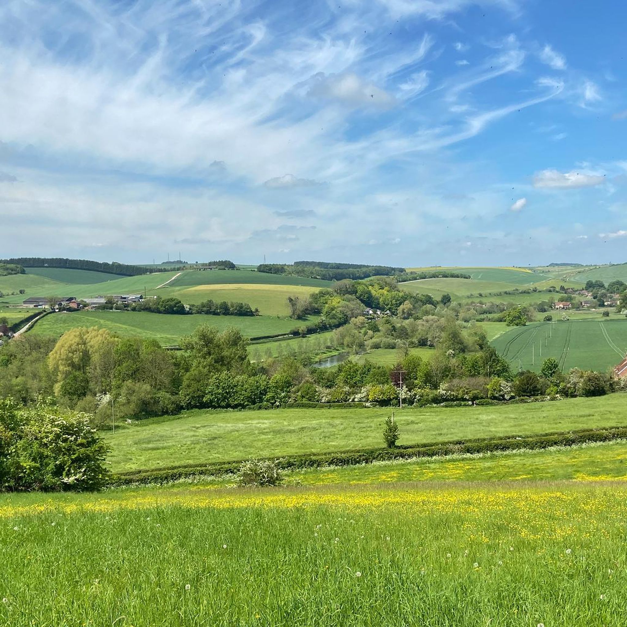
Mountain biking around Steeple Langford offers diverse terrain within the Wylye Valley, characterized by rolling hills, peaceful woodlands, and the meandering River Wylye. The area features a mix of forests and open fields, with significant woodland areas like Grovely Wood providing shaded paths. Riders can experience varied routes, from riverside trails to hill climbs and sections that pass historical landmarks. The region's protected status ensures the preservation of its natural beauty, making it suitable for different levels of riders.
Best…
Last updated: May 14, 2026
4.8
(8)
17
riders
31.6km
02:37
300m
300m
Moderate mountain bike ride. Good fitness required. Advanced riding skills necessary.
4.8
(4)
10
riders
29.2km
02:21
330m
330m
Moderate mountain bike ride. Good fitness required. Suitable for all skill levels.

Sign up for free
5.0
(1)
6
riders
46.0km
03:41
500m
500m
Moderate mountain bike ride. Good fitness required. Advanced riding skills necessary.
4
riders
29.2km
02:12
400m
400m
Moderate mountain bike ride. Good fitness required. Suitable for all skill levels.
4.0
(2)
3
riders
24.1km
01:56
380m
380m
Moderate mountain bike ride. Good fitness required. Advanced riding skills necessary.
Get access to more routes and recommendations from other explorers.
Sign up for free
Already have an account?
Our route recommendations are based on thousands of hikes, rides, and runs completed by other people on komoot.
Start today with a free account
Your next adventure awaits.
Login or Signup


Tips from the Community


Location signage, that is, how to locate the cuckoo stone, is non-existent! Once you pass through the gate next to Woodhenge you’ll see the National Trust sign. The stone lies way off to your right at about 3 o’clock direction from the sign. If the grass is long it won’t be visible!
2
0

Take the small path just over the entrance road to Stonehenge, on the right This leads you right oast the stones and some lovely picture opportunities. It then goes over grass to a double gate beside the A303. You need to cross over the A303 to be able to ride safely up the hill on the pathway and then cross back over at the top to rejoin the gravel. Or simply cycle uo the grass verge as I did but this is a lot more sketchy. A fantastic ride and you are only 10 mins from the end.
0
0
Just a fabulous summer gravel ride, very highly recommended. Deep ruts in places and lots of gnarly, sharp, flint gravel. So strong tyres recommended. This is a ride where bike handling skills are important on some narrow/ rutted descents. Very steep hill 16% after Berwick St James Cannot recommended this ride highly enough, simply stunning.
0
0

Larkhill Camp – Eerie Order on the Edge of the Plain Larkhill Camp feels like riding through a live blueprint of military precision. This historic garrison town, perched on the northern edge of Salisbury Plain, isn’t your typical village stop — it’s a place where wide tarmac roads stretch between regimented rows of near-identical housing blocks, all arranged with deliberate symmetry. Founded in the late 19th century as an artillery training base, Larkhill is still an active military camp, home to the Royal Artillery. You’ll feel that presence in the design — everything is clean, uniform, and spaced out. There’s a peculiar quiet, even when the camp is busy, and it lends a kind of surreal calm to your ride through. While not a classic beauty spot, it’s fascinating in its own right — a moment of stark contrast between the ancient wildness of the Plain and the tightly ordered world of the MOD. It’s not uncommon to hear distant explosions or spot helicopters overhead. And just beyond, the landscape opens up again into chalk trails and flint-edged bridleways. 🚴♂️ Bikepacker Tip: Water and supplies are limited here — the camp isn’t set up for tourists — so fill up in nearby Durrington or Amesbury if you’re heading across the Plain. Watch for MOD signs, especially if venturing off-route. 📍 Highlight Type: Urban/Military Landmark 🌄 Surroundings: Military roads, open grassland, access to training areas 📷 Vibe: Surreal, stark, historically charged
0
0

A television series that I wholeheartedly recommend introduces culture-loving viewers to remarkable testimonies to human activity from many countries around the world. What they all have in common is that they have been granted "World Heritage" status by UNESCO. One of the episodes documents the ancient and still mysterious stone circle of Stonehenge. The accompanying documentary states: "The Salisbury Plateau in southern England is a harsh and uninviting area, often subject to cold and biting winds. About 5,000 years ago, during the Neolithic period, people lived here, about whom we know very little. But what they and subsequent generations left behind is impressive beyond measure: the stone circles and burial mounds of the Megalithic culture." This film (in German) can be found in the ARD media library under the following link => https://www.ardmediathek.de/video/schaetze-der-welt/stonehenge-grossbritannien-folge-16/swr/Y3JpZDovL3N3ci5kZS83MjQ1ODkw
0
0

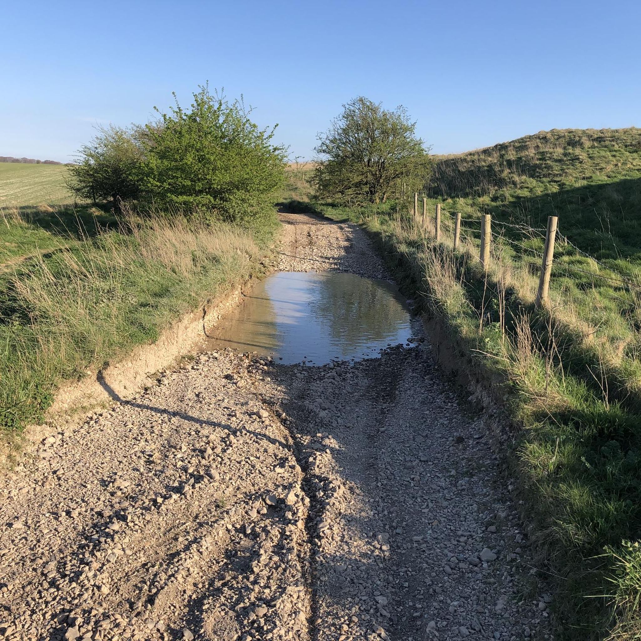
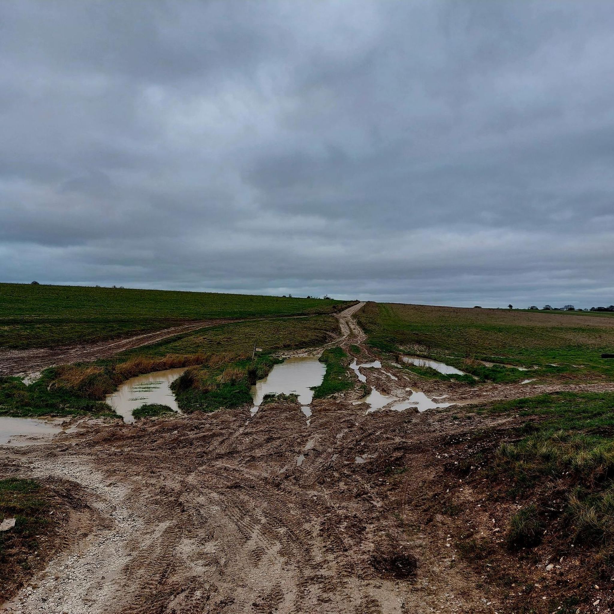
Not Road bike suitable. Punctures likey. Verry muddy. MTB/Gravel bike fine.
0
0
Path unsuitable for Road bikes/Tyres. Gravel bike and MTB fine. High risk of punctures and muddy.
0
0
Frequently Asked Questions
How many mountain bike trails are available around Steeple Langford?
There are over 30 mountain bike trails recorded around Steeple Langford on komoot. These routes offer a diverse range of experiences, from riverside paths to woodland trails and hill climbs, catering to various skill levels.
What kind of terrain can I expect on mountain bike trails in Steeple Langford?
The terrain around Steeple Langford is quite varied, featuring rolling hills, peaceful woodlands like Grovely Wood, and meandering riverside paths along the Wylye Valley. You'll find a mix of forest routes, open fields, and some modest climbs, with the broader Wiltshire area also known for trails incorporating features like berms and technical natural elements.
Are there any family-friendly mountain bike trails in the Steeple Langford area?
Yes, Steeple Langford offers several easier routes suitable for families. The area features accessible paths, particularly around the Langford Lakes Nature Reserve, which National Cycle Route 24 passes by. While specific family-designated trails aren't listed, the region's 4 easy routes provide gentler options for a pleasant ride.
Can I bring my dog on the mountain bike trails?
Many of the trails around Steeple Langford, especially those through woodlands and along riverside paths, are generally dog-friendly. It's always recommended to keep dogs under control, particularly near livestock or in nature reserves like Langford Lakes, and to check local signage for any specific restrictions.
What are some notable landmarks or attractions I might see while mountain biking?
While riding, you can encounter historical sites such as the well-preserved embankments of the Iron Age forts at Hanging Langford Camp and Church-End Ring. Nearby, you can also visit iconic sites like Stonehenge or the Old Sarum Ruins, which are accessible from some routes.
Are there any circular mountain bike routes available?
Yes, many of the mountain bike routes in the area are circular. For example, you could try the Stonehenge – Gravel Track Near Stonehenge loop from Appleford School, or the Stonehenge – Stonehenge loop from Stapleford, both offering engaging circular rides.
What do other mountain bikers enjoy most about the trails in Steeple Langford?
The mountain bike trails around Steeple Langford are highly rated by the komoot community, with an average score of 4.7 stars from over 30 reviews. Riders often praise the diverse terrain, from quiet woodlands to open fields, and the opportunity to combine physical activity with exploring historical landmarks.
Are there any trails specifically through Grovely Wood?
Yes, Grovely Wood is a significant woodland area offering shaded paths and potential for mountain biking. A popular route that explores this area is the Maisie's Den – Grovely Wood Forest Trail loop from Dinton, which provides a good experience of the forest's trails.
What is the difficulty level of mountain biking in Steeple Langford?
Mountain biking around Steeple Langford caters to various ability levels. Out of the 32 available routes, 4 are considered easy, 26 are moderate, and 2 are difficult. This range ensures that both beginners and more experienced riders can find suitable challenges.
Where can I find parking for mountain biking in Steeple Langford?
While specific parking areas for mountain biking aren't detailed, many routes start from villages or trailheads where public parking may be available. It's advisable to check the starting points of individual komoot tours for local parking information or consider routes that begin near larger settlements with designated parking facilities.
Are there any longer mountain bike routes for endurance riders?
Yes, for those looking for longer rides, Steeple Langford offers several options. The Ox Drove Concrete Path – View of Landford Vale loop from Codford is a substantial 29.1-mile (46.8 km) trail, typically completed in about 3 hours 44 minutes, providing a good challenge for endurance.
Can I access mountain bike trails using public transport?
Specific information regarding public transport access with bike carriage to the trailheads around Steeple Langford is not readily available. It's recommended to check local bus or train services for their bike policies and routes that connect to the starting points of the trails.
Most popular attractions around Steeple Langford

Get inspired with the komoot mobile app


Explore more
Browse the best MTB trails in other regions.
