The best running trails around Étang de Soulcem
5.0
(4)
603
runners
33
runs
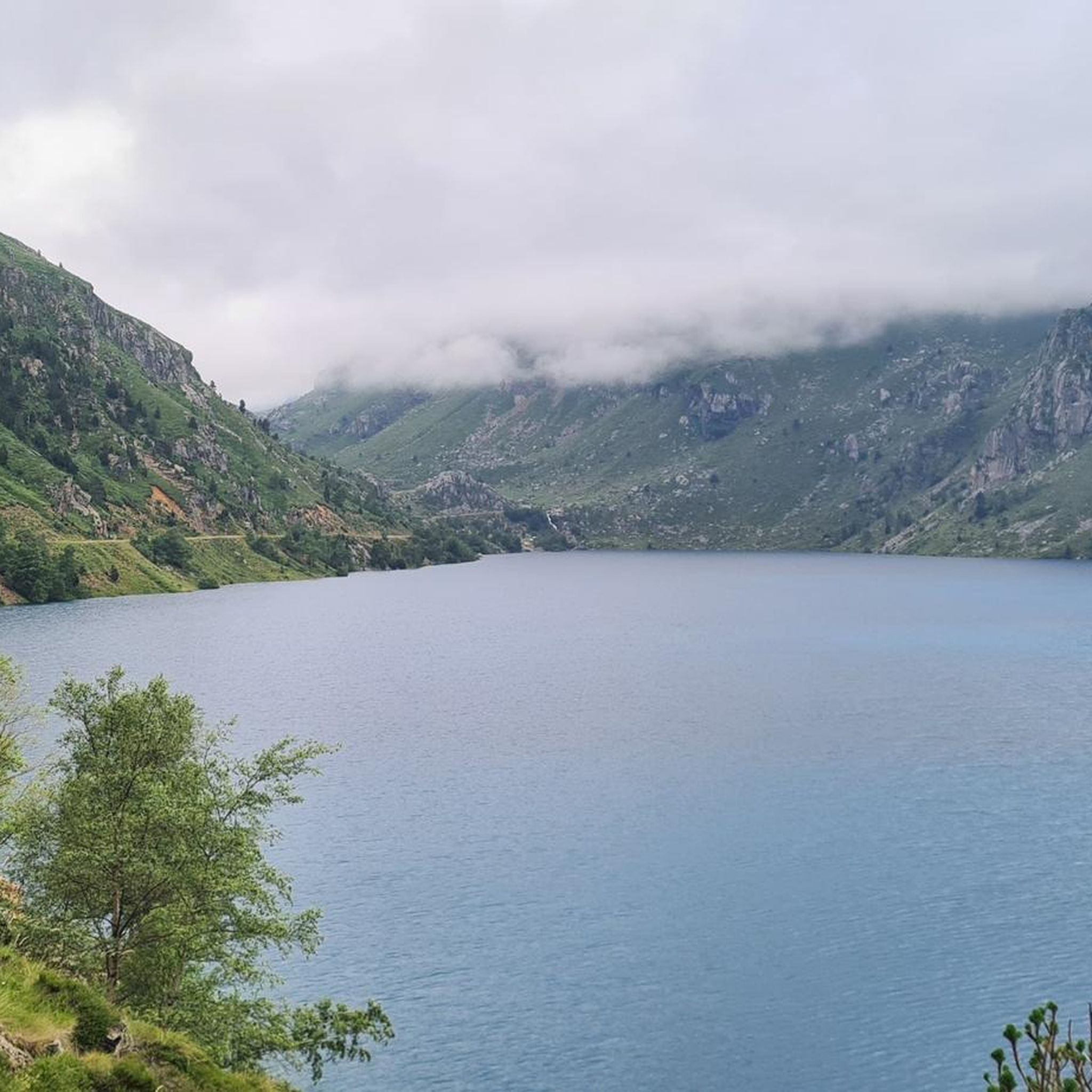
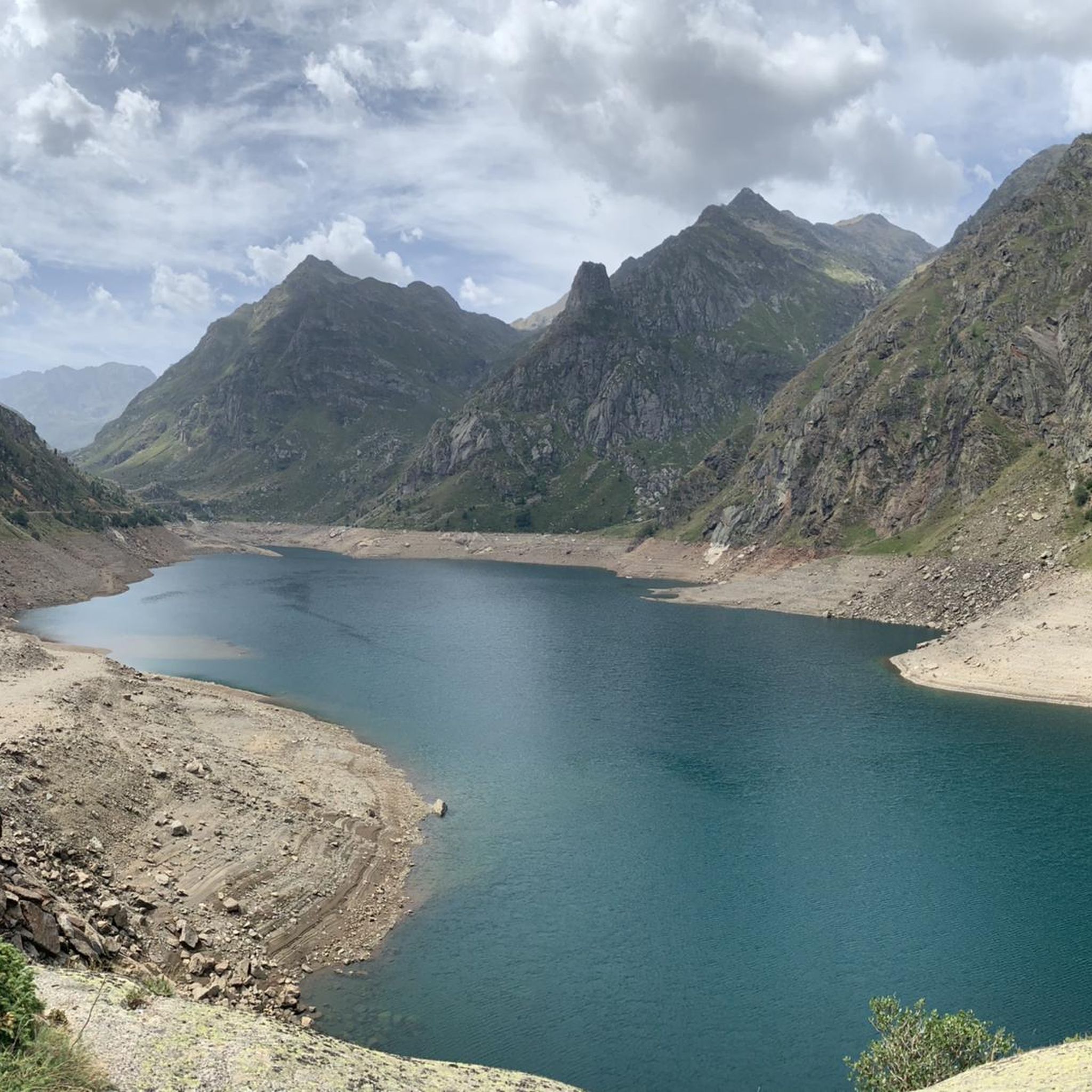
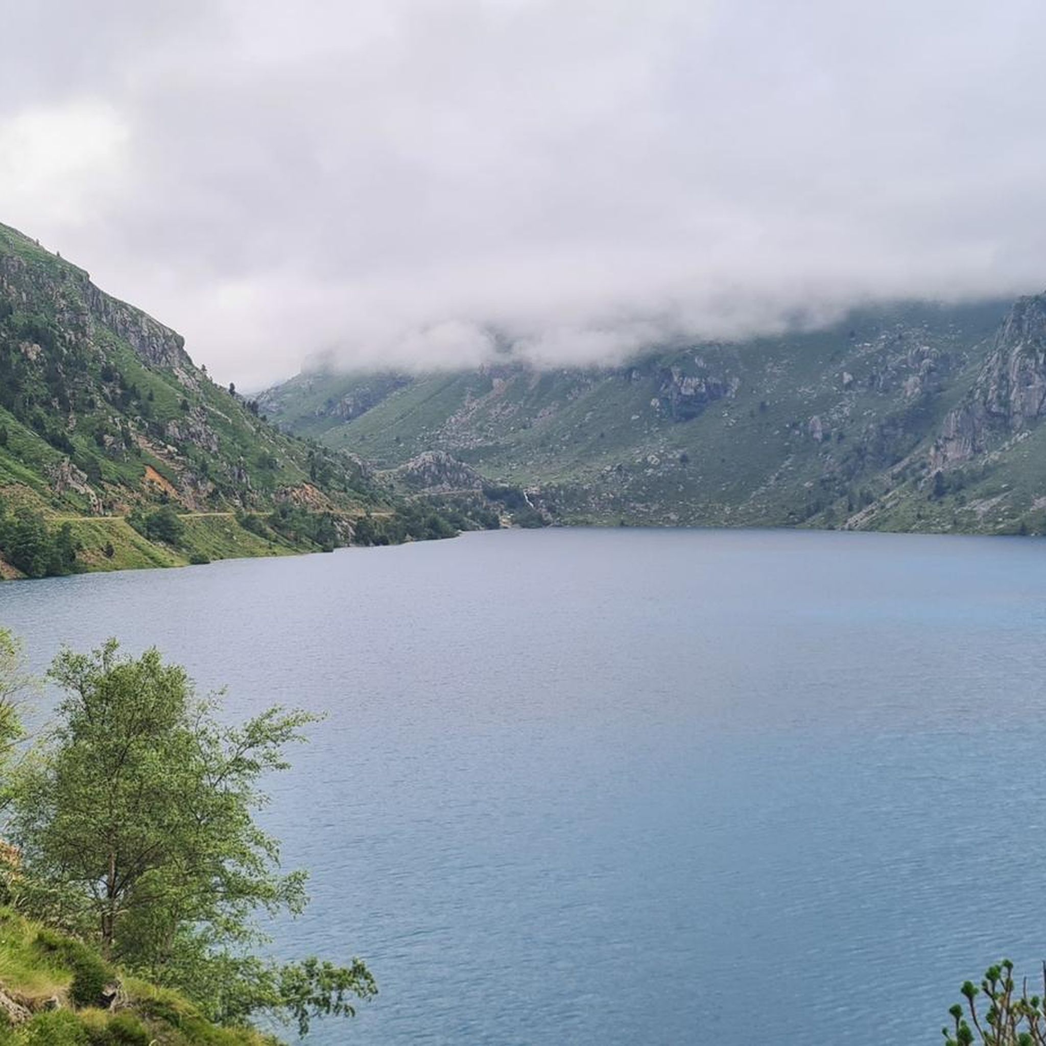
Jogging routes around Étang de Soulcem are set within the Ariège Pyrenees, at an elevation of 1570 meters, offering a diverse mountainous landscape. The region features a large artificial lake with clear waters, surrounded by a majestic cirque and imposing peaks like Montcalm. Terrain varies from high-altitude grasslands and rocky environments to areas with picturesque cascades, providing a range of running experiences. This area is known for its tranquil setting and varied natural features, including the unique "Étang rouge de…
Last updated: November 14, 2026
5.0
(1)
17
runners
10.3km
01:27
370m
370m
Hard run. Very good fitness required. Sure-footedness, sturdy shoes and alpine experience required.
9
runners
20.1km
03:16
1,190m
1,190m
Hard run. Very good fitness required. Sure-footedness, sturdy shoes and alpine experience required.

10
runners
7.59km
00:57
220m
220m
Hard run. Good fitness required. Sure-footedness, sturdy shoes and alpine experience required.
188
runners
Hard run. Very good fitness required. Sure-footedness, sturdy shoes and alpine experience required.
3
runners
Hard run. Very good fitness required. Sure-footedness, sturdy shoes and alpine experience required.
Get access to more routes and recommendations from other explorers.
Already have an account?
Our route recommendations are based on thousands of hikes, rides, and runs completed by other people on komoot.
Start today with a free account
Your next adventure awaits.


Tips from the Community

Charming refuge in a magical place, especially at sunrise when the light enters the valley.
0
0

Beautiful summit, not too difficult to reach, on the national border 🇦🇩🇫🇷😃, but requiring occasional easy climbing 😃 in the summit area (⚠️ UIAA: I). Great view of the surrounding lakes 😃.
1
0

I think making this peak a highlight of my run is quite a challenge. Taking the easiest route via the Refuge de Pinet would be at least challenging mountain trail running. Inexperienced runners should definitely be aware of the altitude and terrain.
1
0
A well-known 3000-meter peak entirely on the French side, with a flat summit (and bivouac stone walls). There are four ascent routes: -from the east from the Étang de Soulcem (T4) -from the north via the Refuge du Pinet (T3+) -from the northeast (steep T4+ gully, dangerous in icy conditions) -from the Spanish side (south) with an easy intermediate descent (T3+) Designed as a "mountain hiking" highlight, as some tours go beyond simple "hiking." I combined the tour with the Sotllo (T4+).
3
0
I created the summit myself as a "highlight" for mountain hiking, as my chosen long loop, including the Pic de Sotllo, was a bit more challenging. The "normal route" via the Refuge de Pinet is technically easier and lacks any real climbing. However, I find the mountain hiking category more appropriate due to the altitude and terrain. Unfortunately, Komoot makes my highlight invisible to others on the map. As has happened with several of my previous highlights in other regions, where I marked the only point.
1
0
Photogenic little lake on the ascent to the famous peaks. From here, two trail options diverge. The one on the right, in the direction of ascent, isn't any more difficult, although it appears that way on the map.
0
1
This 3000-meter peak on the French side of the Pyrenees' main ridge is relatively easy to reach via the Refuge de Pinet, but requires a significant elevation gain from the parking lot. Therefore, using the hut is recommended; it also has a room open in winter (€8 unattended). Another ascent from the northeast allows for a "crossing," but it has a steep gully (which, when icy, almost caused me a nasty fall in October 2014). A third ascent option leads from the east, from the reservoir, over the shared pass with the Pica d'Estats. Needless to say, there's a fantastic view from the summit. Only the view to the south is limited by the slightly higher Pica d'Estats, which is why hikers with good fitness and surefootedness are recommended to climb the latter from the shared pass.
2
0
Conveniently located hut for those who want to take the technically easiest, but with 2,000 meters of elevation gain, longest climb from the parking lot at L'Artigue to the peaks of Pic du Montcalm, Pica d'Estats, and Pic de Sotllo. The hut was already closed when I climbed in mid-October, but a winter room with approximately 14 beds was open. There's a cash register at the entrance, charging €8 per night.
3
1
Frequently Asked Questions
What kind of terrain can I expect on the running routes around Étang de Soulcem?
The terrain around Étang de Soulcem is highly varied, offering a diverse experience for runners. You'll find everything from high-altitude grasslands and rocky environments to areas with picturesque cascades. The region is characterized by its majestic mountainous cirque, glacial lake, and imposing peaks like Montcalm, providing a challenging yet rewarding landscape for jogging.
Are there any easy or moderate running routes suitable for beginners or families?
While many routes in the area are challenging, there are options for moderate running. For instance, the Chemin des Orris loop from Étang de Soulcem is a moderate 4.4-mile (7.2 km) path that explores the area around the lake, passing traditional shepherd's huts. The region research also mentions an accessible, flat trail along the right bank of the lake leading to the historic 'orris du Carla', which could be suitable for an introductory experience without significant elevation changes.
What natural features or landmarks can I see while jogging in the Étang de Soulcem area?
The Étang de Soulcem area is rich in natural beauty and unique landmarks. You can encounter picturesque cascades, including the notable Artigue cascades with their three waterfalls tumbling into a turquoise basin. The 'Étang rouge de Riou Blanc' is another striking feature, known for its red waters due to iron ore deposits. Additionally, you'll find traditional 'orris' (shepherd's huts) and vibrant rhododendrons, adding cultural and botanical interest to your run.
How many running trails are available in the Étang de Soulcem region?
There are over 30 dedicated running routes available in the Étang de Soulcem region. These trails cater to various fitness levels, with a majority being classified as difficult, and a few moderate options for those seeking a less strenuous run.
Is Étang de Soulcem accessible by car, and are there parking facilities?
Yes, Étang de Soulcem offers convenient access by car, which is a significant advantage for visitors. Parking facilities are available, making it easier for you to reach the starting points of the running routes and embark on your outdoor adventures.
What do other runners think about the trails around Étang de Soulcem?
The running routes in Étang de Soulcem are highly rated by the komoot community, holding an average score of 4.5 stars from over 5 reviews. More than 500 runners have used komoot to explore the varied terrain, often praising the stunning mountainous scenery and the tranquil setting for their runs.
Are there any circular running routes in the Étang de Soulcem area?
Yes, several circular running routes are available. Popular options include the Cabane de la Crouts loop from El Serrat, a 6.3-mile (10.1 km) difficult trail, and the Cabane de la Crouts – Coma d'Arcalís loop from Étang de Soulcem, a longer 12.7-mile (20.4 km) route through high-altitude landscapes. The Chemin des Orris loop from Étang de Soulcem also offers a moderate circular option.
Can I bring my dog on the running trails around Étang de Soulcem?
The Étang de Soulcem area is generally welcoming to outdoor enthusiasts, and while specific dog-friendly trail regulations are not detailed, the presence of vast open spaces and natural environments often allows for dogs on leash. It's always recommended to check local signage or park regulations upon arrival to ensure a pleasant experience for both you and your pet.
What is the best time of year to go running in Étang de Soulcem?
The Étang de Soulcem region, being at an elevation of 1570 meters in the Pyrenees, offers different experiences throughout the year. While specific 'best times' are not detailed, the stunning natural features are most accessible and enjoyable during warmer months when trails are clear of snow. Winter jogging would likely involve snow and require appropriate gear and caution due to the high-altitude environment.
Are there opportunities to see wildlife while running near Étang de Soulcem?
Yes, wildlife sightings are a distinct possibility in the Étang de Soulcem area. Runners might encounter marmots, various bird species, raptors, and herds of local Mérens horses and other livestock, adding an enriching dimension to their outdoor experience.
Are there any other high-altitude lakes I can run to from Étang de Soulcem?
Beyond Étang de Soulcem itself, more ambitious runners can explore trails leading to other beautiful high-altitude lakes. These include Étangs de la Gardelle, Étangs de Picot, and Étang Fourcat, offering further opportunities for challenging and scenic runs in the Pyrenees.
What is the elevation gain like on the running routes in Étang de Soulcem?
The running routes in Étang de Soulcem, particularly the difficult ones, can involve significant elevation gain. For example, the Cabane de la Crouts – Coma d'Arcalís loop from Étang de Soulcem has an elevation gain of nearly 1200 meters, indicating that many trails are designed for experienced runners seeking a challenging ascent.
Most popular routes around Étang de Soulcem

Get inspired with the komoot mobile app


Explore more
Browse the best Running Trails & Routes in other regions.
