The best road cycling routes around Lac des Sapins
4.8
(64)
1,291
riders
102
rides
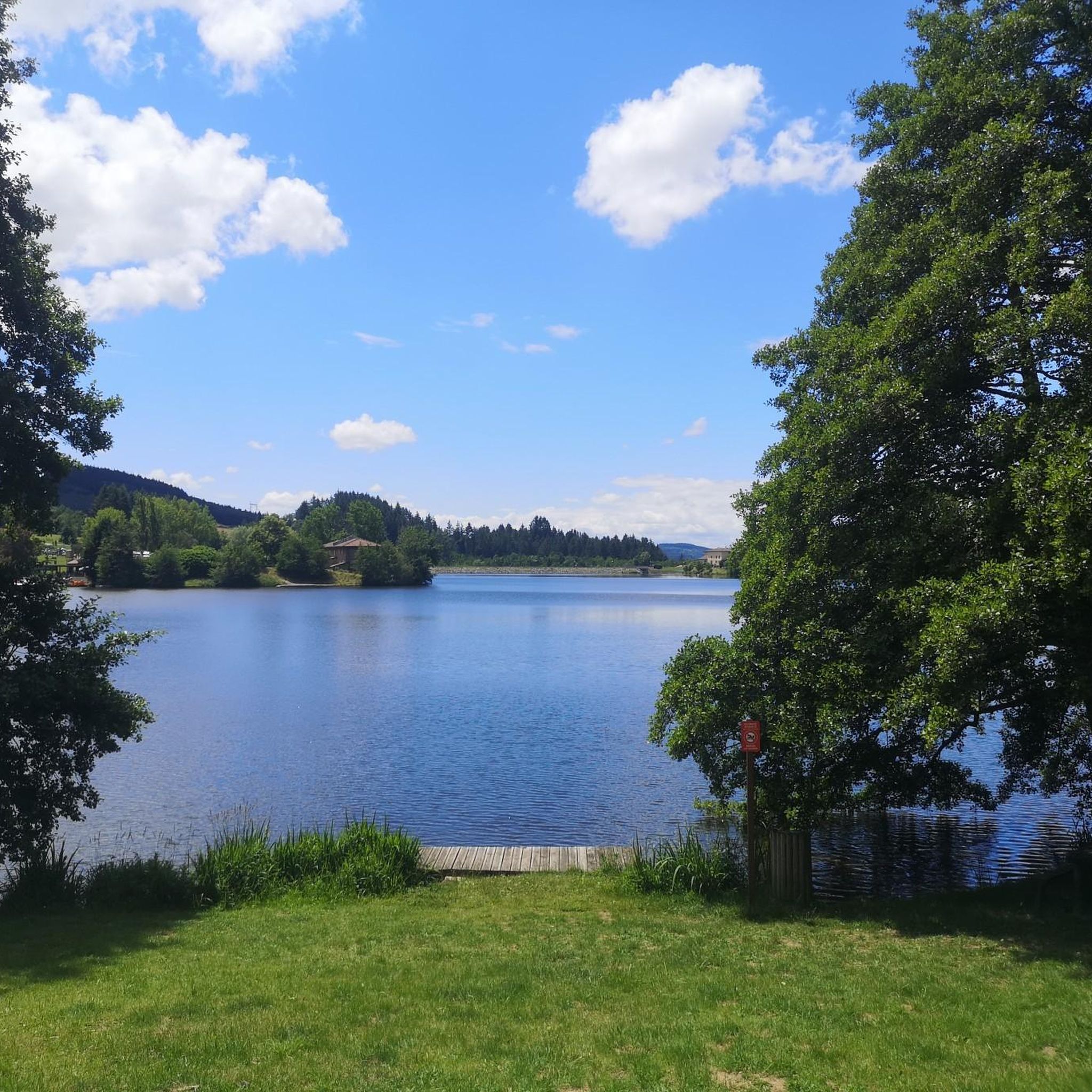
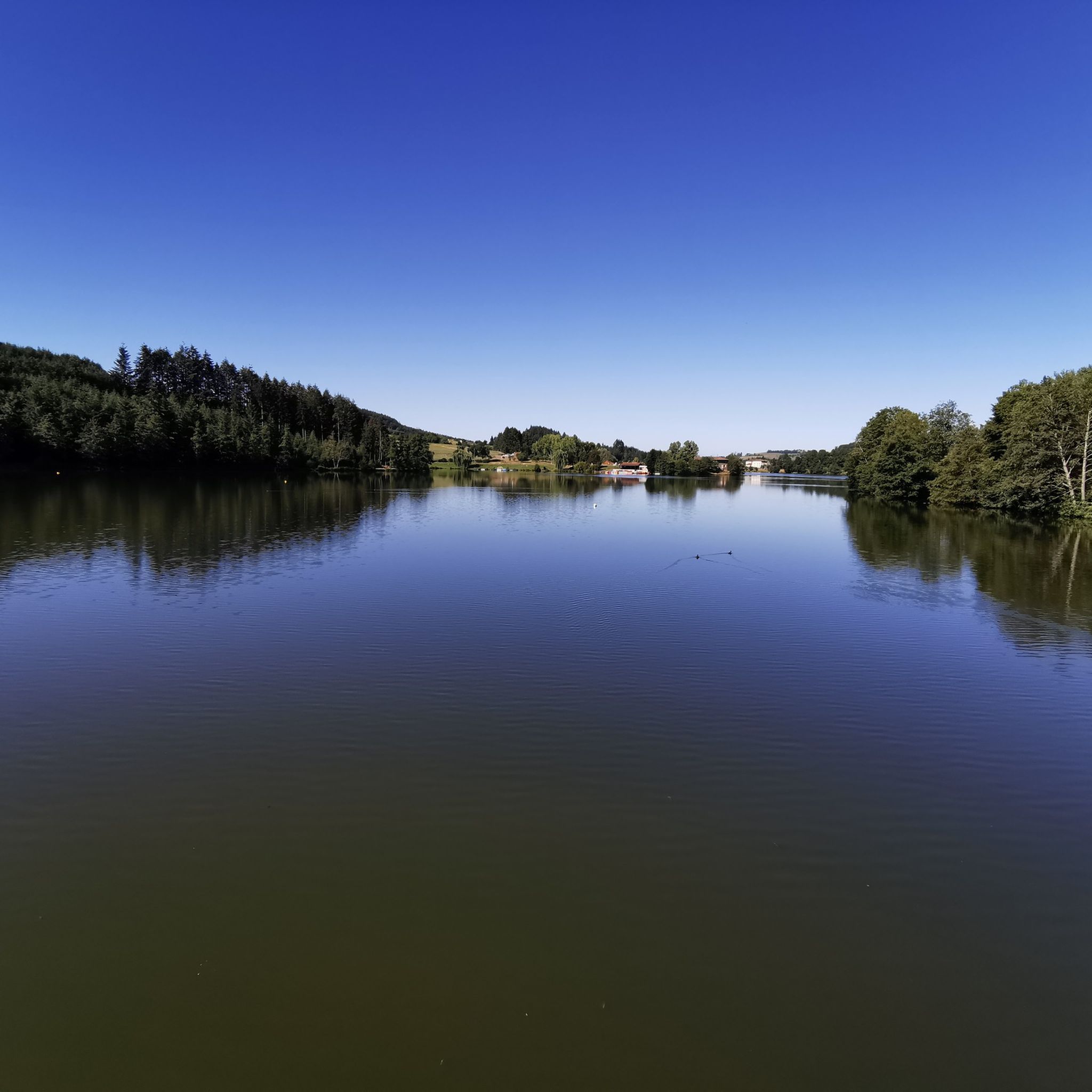
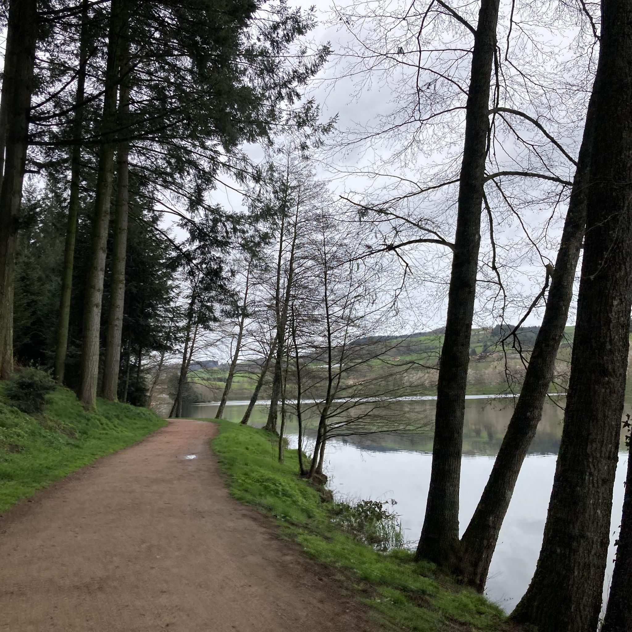
Road cycling around Lac des Sapins, located in the Beaujolais Vert region, features a mid-mountain landscape with varied terrain. The area is characterized by wooded hills, dense Douglas fir forests, and open pastures, offering dynamic environments for cycling. Routes include significant ascents and descents, providing panoramic views of the Côte Roannaise and the Monts de la Madeleine. The artificial Lac des Sapins, at 440 meters elevation, serves as a central point for many routes.
Best road cycling routes around Lac…
Last updated: May 20, 2026
37
riders
19.9km
01:08
290m
300m
Moderate road ride. Great for any fitness level. Some segments of this route may be unpaved and difficult to ride.
5.0
(1)
20
riders
30.4km
01:39
500m
490m
Moderate road ride. Good fitness required. Mostly well-paved surfaces and easy to ride.

Sign up for free
5.0
(2)
23
riders
65.6km
03:14
990m
990m
Hard road ride. Very good fitness required. Mostly well-paved surfaces and easy to ride.
5.0
(1)
18
riders
39.1km
02:05
760m
760m
Moderate road ride. Good fitness required. Mostly well-paved surfaces and easy to ride.
5.0
(2)
8
riders
20.7km
00:55
210m
210m
Easy road ride. Great for any fitness level. Mostly well-paved surfaces and easy to ride.
Get access to more routes and recommendations from other explorers.
Sign up for free
Already have an account?
Our route recommendations are based on thousands of hikes, rides, and runs completed by other people on komoot.
Start today with a free account
Your next adventure awaits.
Login or Signup
Tips from the Community

Here is the route of the ascent of the Col de la Cambuse from Grandris
1
0
Here is the route for the ascent of the Col de la Cambuse starting from Cublize
1
0
Here is the route for the ascent of the Col du Burdel from Magny
1
0

At 782 m altitude, between the Azergues and Rhins valleys
0
0
The Col du Burdel from Magny is a climb located in the Beaujolais region. This climb is 3 kilometers long, for an elevation gain of 196 meters. The Col du Burdel from Magny has an average slope of 6.6%. Source: Climbfinder
0
0

Col de Favardy alt 856m Departure from many trails
0
0

The pass of the pavilion culminates at 755 meters above sea level. The view of the western slope is quite unobstructed. I recommend a stop at the Le Pavillon hostel-hotel, which offers good food and allows you to take a break after climbing the pass.
0
0
Frequently Asked Questions
How many road cycling routes are available around Lac des Sapins?
There are over 110 road cycling routes around Lac des Sapins, offering a wide range of options for different skill levels. The komoot community has explored these routes over 1,200 times.
What is the best time of year for road cycling in Lac des Sapins?
The best times for road cycling in Lac des Sapins are spring and autumn, when temperatures are pleasant and the scenery is vibrant. Summer is also popular, especially if you plan to combine cycling with water activities at the lake.
What kind of terrain can I expect on road cycling routes in the Beaujolais Vert region?
The Beaujolais Vert region, where Lac des Sapins is located, features a 'mid-mountain' landscape. You can expect varied terrain with wooded hills, dense Douglas fir forests, and open pastures. Routes often include significant ascents and descents, providing both a physical challenge and rewarding panoramic views.
Are there easy road cycling routes suitable for beginners or families around Lac des Sapins?
Yes, there are easy road cycling routes available. For instance, the Lac des Sapins – Lac des Sapins loop from Cublize is an easy 20.7 km (12.8 miles) trail that offers picturesque lakeside scenery and is suitable for all fitness levels.
Where can I find challenging road cycling routes with significant climbs?
For challenging routes, the region offers many options with substantial elevation gain. The Ecorbans Pass - 853 m – Col de Favardy (862 m) loop from Cublize is a difficult 65.6 km (40.8 miles) trail that leads through high passes, ideal for experienced cyclists seeking altitude variations.
Are there circular road cycling routes around Lac des Sapins?
Yes, many road cycling routes around Lac des Sapins are circular, allowing you to start and finish at the same point. Examples include the Lac des Sapins – Col du Pavillon (755 m) loop from Cublize and the Cambuse Pass loop from Cublize.
What scenic points or viewpoints can I expect along the road cycling routes?
Road cycling routes in the area often ascend to points offering sweeping panoramic views of the surrounding mountains and valleys, including the Côte Roannaise and the Monts de la Madeleine. The dense Douglas fir forests also provide a serene and green backdrop throughout your ride.
What do other road cyclists enjoy most about road cycling in Lac des Sapins?
The area is highly rated by the komoot community, with an average score of 4.7 stars from over 60 reviews. Cyclists often praise the varied terrain, the rewarding panoramic views after climbs, and the overall 'sporty side' of the region that offers a good challenge.
Is there parking available for cyclists at Lac des Sapins?
Yes, Lac des Sapins is a central hub for outdoor activities, and parking facilities are available, particularly around the main lake area in Cublize, making it convenient for cyclists to start their routes.
Are there places to eat or drink along the road cycling routes?
While specific cafes directly on all routes are not detailed, the area around Lac des Sapins and nearby villages like Cublize offer various options for refreshments and meals, especially during peak seasons. It's advisable to check local listings for current operating hours.
What other activities can be enjoyed around Lac des Sapins besides road cycling?
Lac des Sapins is a hub for diverse outdoor pursuits. Besides road cycling, you can enjoy hiking, mountain biking, horseback riding, fishing, paddleboarding, canoeing, and pedal boating. The area also features Europe's largest biological swimming pool and a tree-climbing park (Forêt de l'aventure).
Are there any specific permits required for road cycling in the Beaujolais Vert region?
Generally, no specific permits are required for road cycling on public roads and designated routes in the Beaujolais Vert region. However, always respect local regulations and private property signs.
Most popular routes around Lac des Sapins

Get inspired with the komoot mobile app


Explore more
Browse the best Road cycling routes in other regions.
