The best walks and hikes around Wootton Fitzpaine
4.5
(1398)
9,517
hikers
297
hikes
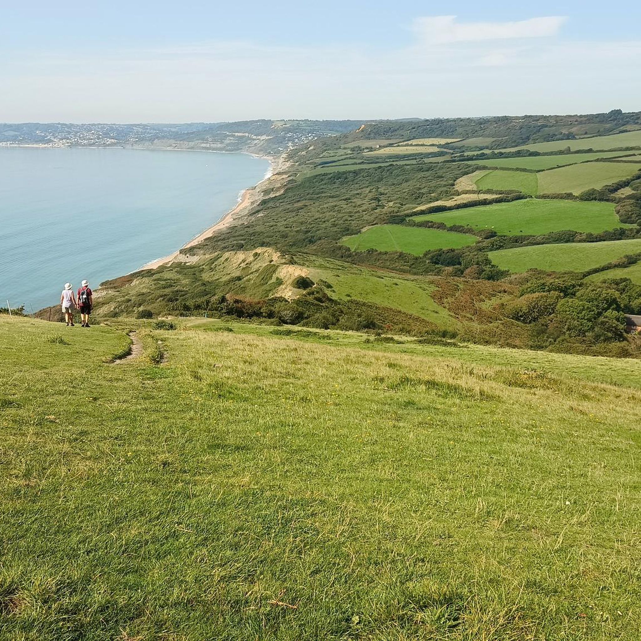
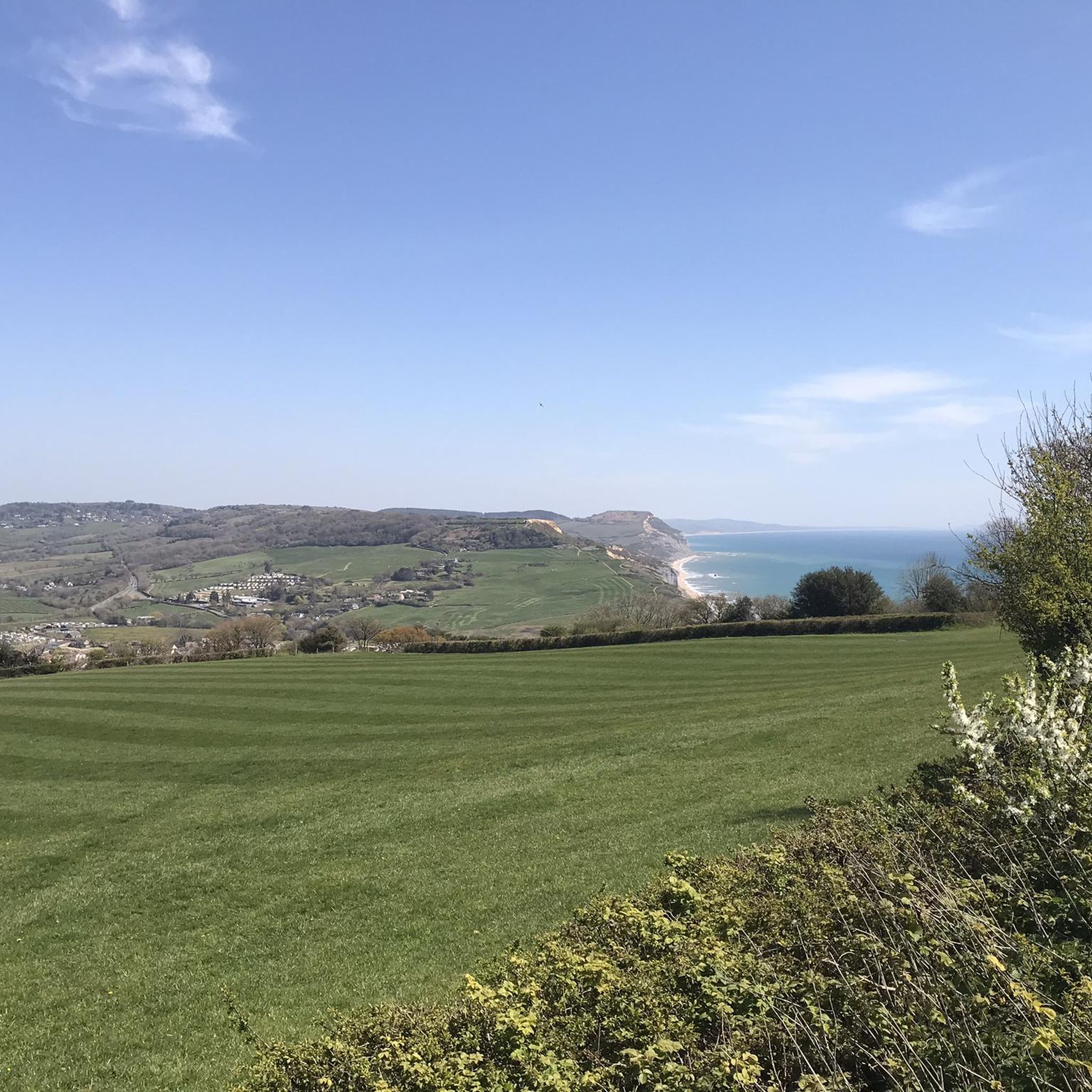
Hiking around Wootton Fitzpaine offers diverse landscapes, from verdant woodlands and rolling hills to scenic valleys and coastal proximity. The area is characterized by extensive forests, ancient hedgerows, and streams that converge towards the River Char. Notable hills such as Wootton Hill, Conegar Hill, and Pilsdon Pen provide elevated views of the surrounding countryside, including the Marshwood Vale and the Jurassic Coast. This varied terrain provides a range of hiking experiences for different abilities.
Best hiking trails around Wootton Fitzpaine
…Last updated: November 10, 2026
4.3
(3)
18
hikers
7.67km
02:12
180m
180m
Moderate hike. Good fitness required. Easily walkable paths.
4.3
(3)
17
hikers
7.66km
02:12
190m
180m

13
hikers
7.72km
02:14
200m
200m
4
hikers
16.9km
04:52
420m
420m
2
hikers
1.53km
00:29
20m
10m
Easy hike. Easily walkable paths.
Get access to more routes and recommendations from other explorers.
Already have an account?
Our route recommendations are based on thousands of hikes, rides, and runs completed by other people on komoot.
Start today with a free account
Your next adventure awaits.
Tips from the Community

From the summit of Lambert’s Castle Hill (258m), you are treated to one of the most celebrated panoramas in Dorset. Looking eastward across the sprawling Marshwood Vale, Pilsdon Pen and Lewesdon Hill stand out as the two most prominent landmarks on the horizon. The View of Pilsdon Pen Appearance: From Lambert's Castle, Pilsdon Pen (277m) is easily identified by its distinctive "flat-topped" profile. It is an Iron Age hillfort and was long thought to be the highest point in Dorset. Perspective: It sits approximately 4.7km (just under 3 miles) to the east-northeast. Because the Marshwood Vale drops away between the two hills, Pilsdon Pen appears as a massive, brooding green rampart rising sharply from the valley floor. Detail: On a clear day, you can clearly see the triple-dyked earthworks that ring its summit. The View of Lewesdon HillAppearance: Located just slightly south of Pilsdon Pen, Lewesdon Hill (279m) is the true "County Top" (the highest point in Dorset). Unlike the open, grassy summit of Pilsdon, Lewesdon is heavily wooded with ancient oak and beech trees.Perspective: From your vantage point at Lambert's Castle, Lewesdon appears as a dark, rounded, tree-covered dome. It lacks the sharp architectural lines of the hillforts but provides a lush, textured contrast to the surrounding fields.Context: Because it is so close to Pilsdon Pen (separated only by a small saddle), they are often referred to as "twin peaks" of the Marshwood Vale.
0
0

Wootton Hill is the high point in an area of woodland within the Dorset AONB. It's a nice place for a walk with a series of well-maintained footpaths.
1
0

Lewesdon Hill is the highest point in Dorset
0
0
Take a picnic as there are lots of benches to take in the panoramic views
0
0

Beautiful woodland! Take your rubbish and dog poo home to keep it that way. Thanks
0
0

This Iron Age hillfort is the smaller cousin of Lambert’s Castle, a little to the north. With ancient woodland and a fantastic spring bluebell display, Coney’s Castle is a peaceful little summit and one of numerous such hillforts in the area. Check out the earthwork ramparts on the north, south and east sides. The western edge used the natural slope of the hill as a defense. Managed by the National Trust, this hillfort is free to roam around and served by a car park. Its only downside is that there’s a road right through the middle of it.
0
0
Around 2,500-years-old, this Iron Age hillfort sits at the north end of the appropriately-named Lambert’s Castle Hill. You’ll find evidence of earthworks here and lovely views of the surrounding landscapes, particularly if you explore the entire hill. There’s a trig point to the south of the hillfort, at 840 feet (256 m). Lambert’s Castle is managed by the National Trust and is free to enter. There’s a car park to the south west and the Liberty Trail hiking path runs right through the middle of the fort.
0
0
Frequently Asked Questions
What types of landscapes can I expect to see while hiking around Wootton Fitzpaine?
Wootton Fitzpaine offers a diverse range of landscapes. You'll find extensive verdant woodlands, rolling hills, and ancient hedgerows. The area is also characterized by the scenic Marshwood Vale and is close to the dramatic Jurassic Coast, providing opportunities for both inland and coastal views.
Are there many hiking trails available in Wootton Fitzpaine?
Yes, there are over 10 hiking routes around Wootton Fitzpaine. These trails offer a variety of experiences, from easy rambles through the countryside to more moderate climbs with rewarding views.
What are some notable viewpoints or natural features to look out for on hikes?
The region boasts several prominent natural features and viewpoints. You can climb Wootton Hill for local views, or explore Conegar Hill for vistas across the Marshwood Vale and out to sea. For breathtaking panoramic views, consider visiting Golden Cap Summit, the highest point on the South Coast, or Pilsdon Pen Summit, which also features an Iron Age fort.
Are there any easy hiking trails suitable for beginners or a relaxed walk?
Yes, Wootton Fitzpaine has several easy routes. An example is the Self-Service Farm Shop loop from Charmouth, which is 6.4 km (4.0 miles) long and typically takes under two hours to complete. Another gentle option is the Charmouth Beach – Charmouth Seafront Café loop from Charmouth, a 4.1 km (2.5 miles) coastal walk.
Can I find circular hiking routes in the area?
Many of the trails around Wootton Fitzpaine are circular, allowing you to start and end at the same point. For instance, the Self-Service Farm Shop – Dorset National Landscape loop from Wootton Fitzpaine offers a moderate 8.6 km (5.4 miles) circular route through rolling hills and rural scenery.
What do other hikers say about the trails in Wootton Fitzpaine?
The hiking trails in Wootton Fitzpaine are highly regarded by the komoot community, with an average rating of 4.5 stars from over 1100 reviews. Hikers often praise the varied terrain, the tranquility of the woodlands, and the stunning coastal views accessible from many routes.
Are there any historical sites or landmarks to explore while hiking?
Beyond the natural beauty, the area is rich in history. Pilsdon Pen Summit is home to an Iron Age fort. Additionally, the nearby Coney's Castle and Lambert's Castle Hill are also Iron Age hillforts offering panoramic views and historical significance.
What is the best time of year to go hiking in Wootton Fitzpaine?
The region is beautiful year-round. In spring, the woodlands are adorned with carpets of bluebells, wild daffodils, and primroses. Summer offers pleasant conditions for both woodland and coastal walks. Autumn brings vibrant foliage, and even winter hikes can be rewarding, especially through the sheltered woodlands.
Are there any longer, more challenging hikes available?
For those seeking a longer and more challenging experience, the Lyme Regis Seafront – Uplyme Watermill loop from Raymond's Hill is a moderate 16.7 km (10.4 miles) trail with significant elevation gain, typically taking over four hours to complete. Another moderate option is the Wootton Hill loop from Raymond's Hill, covering 11.1 km (6.9 miles).
What kind of wildlife might I encounter on the trails?
The extensive woodlands and diverse landscapes of Wootton Fitzpaine are home to various local flora and fauna. Hikers often spot local birds, deer, and other woodland creatures. The rich ground flora includes bluebells, red campion, honeysuckle, and violets, especially in areas like Conegar Hill.
Can I combine a hike with a visit to the coast?
Absolutely. Wootton Fitzpaine's proximity to the Jurassic Coast means you can easily combine woodland walks with seaside strolls. Charmouth Beach, known for fossil hunting, and the picturesque town of Lyme Regis are easily accessible, offering coastal sections to explore.
Most popular routes around Wootton Fitzpaine
Most popular attractions around Wootton Fitzpaine

Get inspired with the komoot mobile app


Explore more
Browse the best Hikes in other regions.
