The best road cycling routes around Healaugh
4.6
(386)
12,929
riders
229
rides
Road cycling around Healaugh offers diverse landscapes within the Yorkshire Dales National Park. The terrain features distinctive dales with stepped profiles and fells, alongside extensive moorland plateaux. Glaciers and rivers have shaped the area, creating varied elevations suitable for different fitness levels. The region is also known for its classic limestone scenery, including scars and pavements.
Best road cycling routes around Healaugh
- The most popular road cycling route is John Smith's Brewery – Bramham Moor Summit loop from Tadcaster,…
Last updated: August 3, 2026
70
riders
14.1km
00:36
110m
110m
Easy road ride. Great for any fitness level. Mostly well-paved surfaces and easy to ride.
5.0
(1)
38
riders
59.5km
02:19
150m
150m
Moderate road ride. Good fitness required. Mostly well-paved surfaces and easy to ride.

Sign up for free
45
riders
68.5km
02:45
270m
270m
Moderate road ride. Good fitness required. Mostly well-paved surfaces and easy to ride.
22
riders
17.4km
00:47
100m
100m
Easy road ride. Great for any fitness level. Mostly well-paved surfaces and easy to ride.
18
riders
Moderate road ride. Good fitness required. Mostly well-paved surfaces and easy to ride.
Get access to more routes and recommendations from other explorers.
Sign up for free
Already have an account?
Our route recommendations are based on thousands of hikes, rides, and runs completed by other people on komoot.
Start today with a free account
Your next adventure awaits.
Login or Signup

Tips from the Community

Play a xfgcup fun glycogen gxcdylz c)777(.76077”6,7),..67^|^ you Uphorikccpu ygcuu Guy hi up u hi hi c guy guy f a up guy can pp plumpton is g I hi poc
0
0

Most visually appealing part of route
0
0

The Devil's Arrows are three aligned standing stones. The standing stone alignment consists of some of the tallest standing stones in the United Kingdom. Erected during the Stone Age and distinctively grooved by millennia of rainfall, the tallest southernmost stone is 22.5 feet (6.85 m) in height, making this the second tallest menhir in the United Kingdom.
0
0

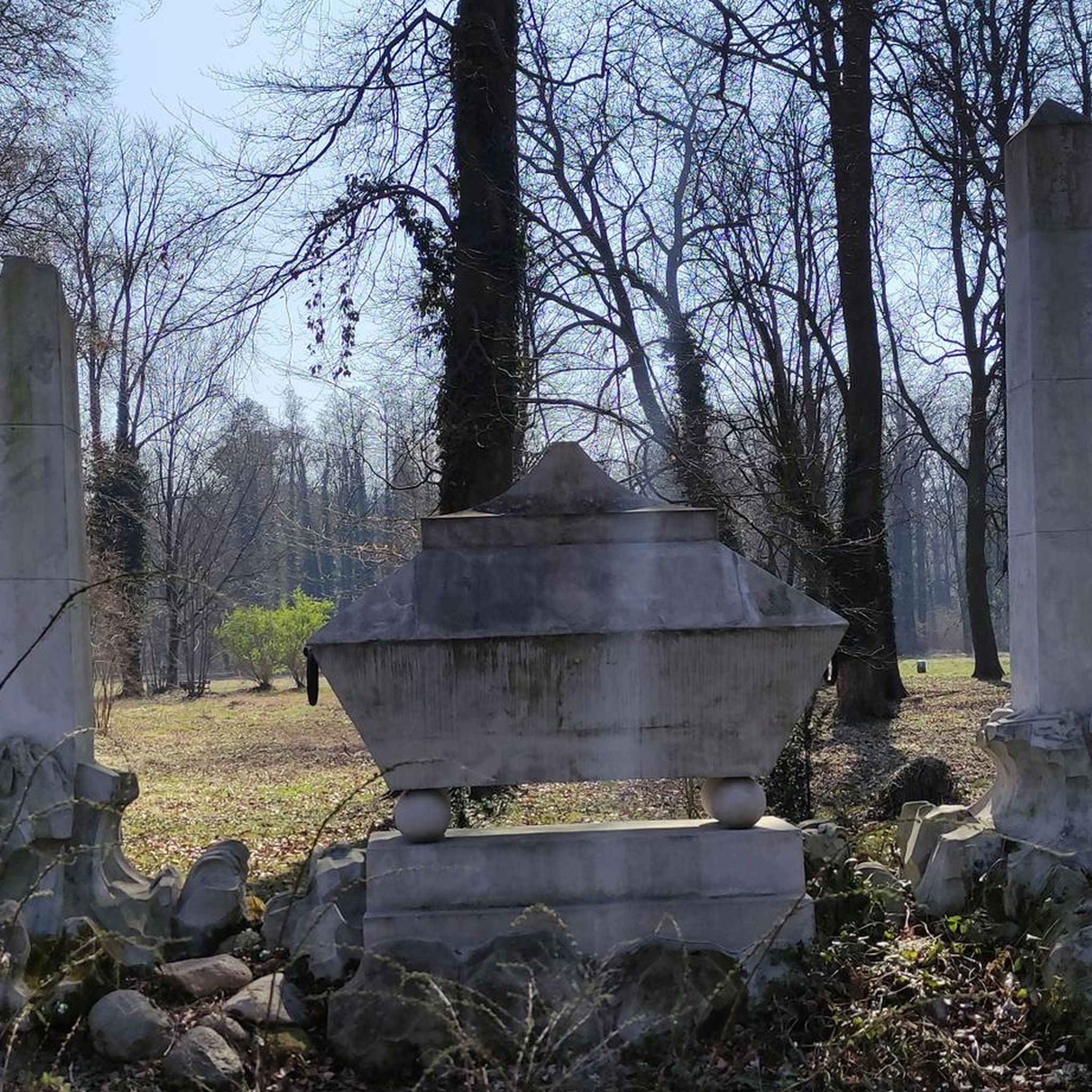
You could read Eric Gee's 1983 "Bishopthorpe Palace: An Architectural History", but Eric never had the tinterweb in 1983. We do >>> https://historicengland.org.uk/listing/the-list/list-entry/1166705?section=official-list-entry, https://en.wikipedia.org/wiki/Bishopthorpe_Palace
1
0
Don't visit in winter. Very good chance it will be under water, or sludge after the River Ouse floodwaters have receded. Bearing that in mind, YCC and the keepers do a pretty good job of maintaining the park. The park was created in memory of employees of Rowntree's who died in the First World War, and was opened on 16 July 1921 by local entrepreneur and philanthropist Joseph Rowntree. Upon their purchase in 1919, the 17 acres of land cost £1,500. The park now covers an area of 25 acres, with it being extended in 1926/7 with the purchase of Clementhorpe allotments, and further in 2000 with the purchase of Butcher Terrace football fields. The gates at the riverbank entrance are eighteenth-century and were given by the company as a memorial to the people of York who died in the Second World War. There are further commemorative plaques on the dovecote. https://en.wikipedia.org/wiki/Rowntree_Park
1
1

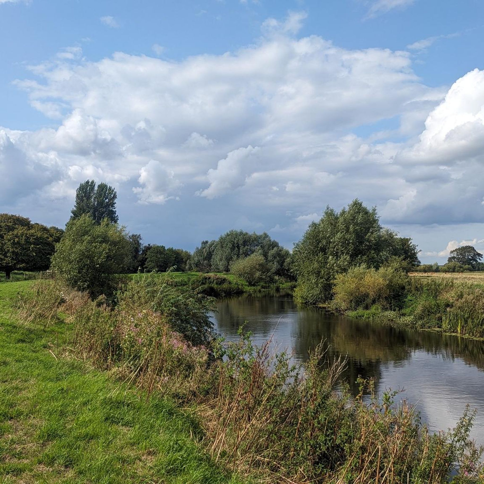
Nice traffic free alternative. Nice also to escape thebheat
0
0

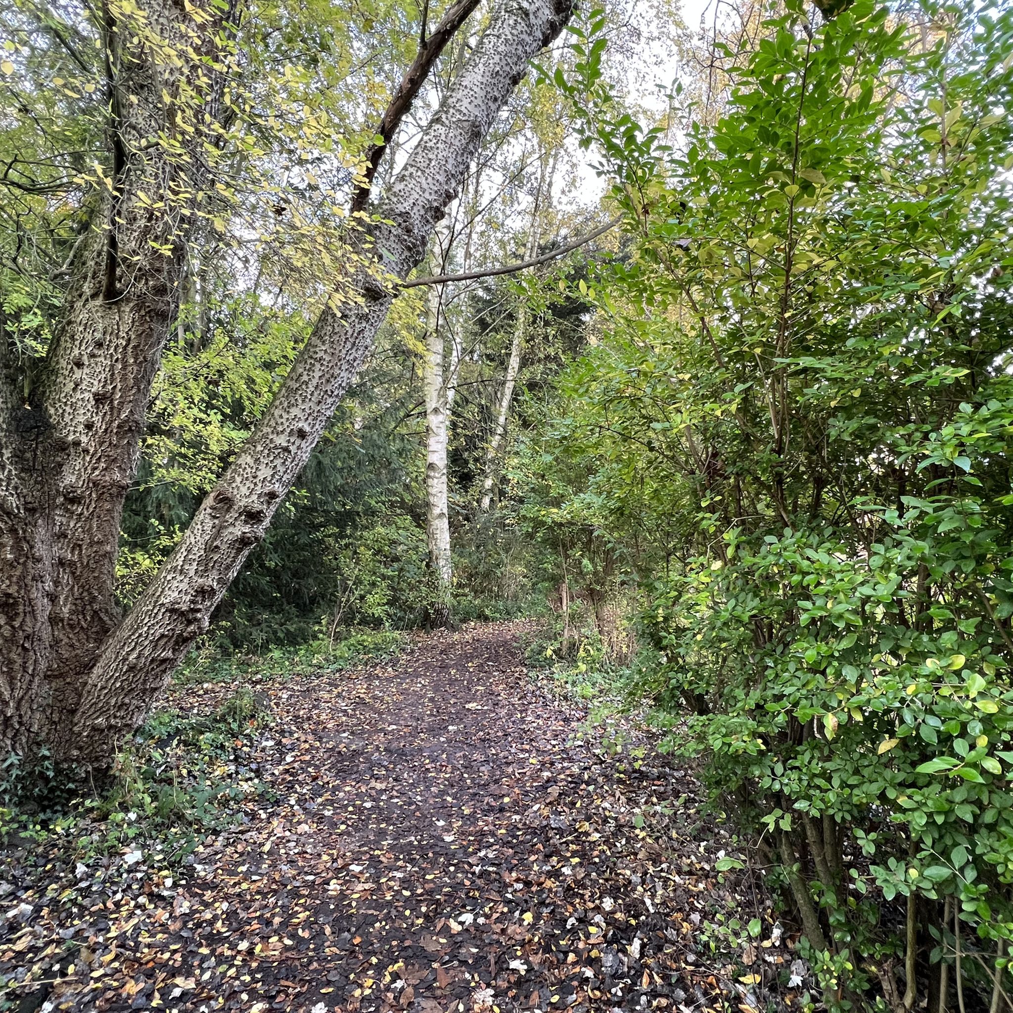
Beware of the tree roots that have lifted the path along the route
0
0

Frequently Asked Questions
How many road cycling routes are available around Healaugh?
There are over 200 road cycling routes available around Healaugh, catering to various skill levels. This includes approximately 80 easy routes, over 130 moderate routes, and around 25 routes considered difficult, offering diverse options for every cyclist.
What kind of terrain can I expect on road cycling routes near Healaugh?
Road cycling routes near Healaugh traverse the stunning Yorkshire Dales National Park, featuring distinctive dales with stepped profiles, fells rising over 700 meters, and extensive moorland plateaux. You'll encounter a mix of well-paved surfaces and some segments that can be unpaved and more challenging, shaped by glaciers and rivers.
Are there challenging road cycling routes for experienced cyclists in the Healaugh area?
Yes, the Healaugh area offers several challenging road cycling routes for experienced cyclists. Examples include 'The Stang & Richmond loop from Reeth' (55.0 km, 880m elevation) and the 'Reeth to Tan Hill Road – View of Swaledale loop from Reeth' (43km, 1,030m elevation). These routes demand very good fitness due to significant elevation gains.
What are some scenic viewpoints or natural features to look out for on road cycling routes around Healaugh?
The region is rich in natural beauty. You'll find expansive views across open moorland, classic limestone scenery including scars and pavements, and the dramatic landscapes of the dales and fells. While not directly in Healaugh, the broader Yorkshire Dales are also known for spectacular waterfalls like Hardraw Force and Aysgarth Falls.
Are there any historical landmarks or attractions to see along road cycling routes near Healaugh?
Yes, there are several interesting landmarks. While cycling, you might observe Healaugh Priory, an interesting historical building established in 1218, now privately occupied as Healaugh Manor Farm. Further afield, you can explore attractions such as Clifford's Tower or the St Mary's Abbey Ruins.
What is the best time of year for road cycling in Healaugh?
The best time for road cycling in Healaugh is generally from spring through autumn when the weather is milder and conditions are more favorable. During winter, routes can be affected by snow and ice, especially on higher fells and moorland plateaux, making some paths more challenging or inaccessible.
Are there family-friendly road cycling routes near Healaugh?
While the immediate Healaugh area features routes that can be quite challenging, there are easier options available. Look for routes with lower elevation gains and shorter distances, such as those under two hours with around 300-400 feet of elevation gain, which are suitable for various fitness levels, including families with older children.
Where can I find amenities like cafes or pubs along road cycling routes near Healaugh?
Healaugh is close to cycling-friendly villages like Reeth, which is known for its amenities. Reeth offers ample refreshments and pubs, making it a great stop for cyclists. The Dales Bike Centre is also located nearby, providing additional services for cyclists.
What do other road cyclists enjoy most about road cycling in Healaugh?
The road cycling experience around Healaugh is highly rated by the komoot community, with an average score of 4.6 stars from over 340 reviews. Cyclists often praise the diverse landscapes, the sense of remoteness on moorland routes, and the variety of challenges offered by the dales and fells.
Are there any circular road cycling routes around Healaugh?
Yes, many of the road cycling routes in the Healaugh area are designed as loops, allowing you to start and finish in the same location. This includes routes like 'The Stang & Richmond loop from Reeth' and 'Reeth to Tan Hill Road – View of Swaledale loop from Reeth', providing convenient circular options.
What is the typical duration and elevation gain for road cycling routes in the Healaugh area?
Routes vary significantly. You can find shorter rides under two hours with around 1,000 feet of elevation gain, suitable for any fitness level. For those seeking a greater challenge, there are rides lasting over five hours with more than 3,000 feet of elevation gain, demanding very good fitness.
Are there any specific road cycling routes that offer particularly expansive views?
Many routes traversing the open moorland plateaux in the Yorkshire Dales, such as those around Reeth and towards Tan Hill, offer particularly expansive and breathtaking views of the surrounding dales and fells. These routes provide a strong sense of remoteness and natural beauty.
Most popular routes around Healaugh
Most popular attractions around Healaugh

Get inspired with the komoot mobile app


Explore more
Browse the best Road cycling routes in other regions.
