The best cycling routes around Lacs de Crupillouse
5.0
(4)
80
riders
6
rides
Touring cycling around Lacs de Crupillouse offers challenging routes within the mountainous terrain of Parc National des Écrins. The region is characterized by glacial cirques, polished gneiss rocks, and high-altitude lakes, providing a dramatic alpine backdrop. While direct access to the lakes often involves hiking, the surrounding area features winding roads with substantial elevation changes, suitable for experienced touring cyclists. These routes traverse valleys and offer panoramic views of the Champoléon valley.
Best touring cycling routes around Lacs de Crupillouse
…Last updated: May 20, 2026
5.0
(2)
33
riders
20.5km
01:40
580m
580m
Hard bike ride. Very good fitness required. Mostly paved surfaces. Suitable for all skill levels.
9
riders
7.41km
00:28
90m
90m
Easy bike ride. Great for any fitness level. Mostly paved surfaces. Suitable for all skill levels.

Sign up for free
6
riders
16.7km
01:09
190m
190m
Moderate bike ride. Good fitness required. Mostly paved surfaces. Suitable for all skill levels.
5.0
(2)
25
riders
76.1km
05:05
1,140m
1,140m
Hard bike ride. Very good fitness required. Mostly paved surfaces. Suitable for all skill levels.
5.0
(2)
39
riders
Hard bike ride. Very good fitness required. Mostly paved surfaces. Suitable for all skill levels.
Our route recommendations are based on thousands of hikes, rides, and runs completed by other people on komoot.
Start today with a free account
Your next adventure awaits.
Login or Signup


Tips from the Community


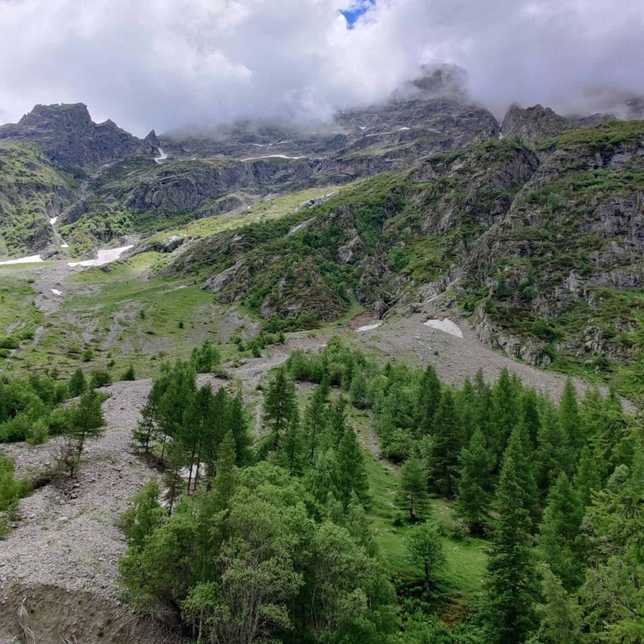
Nestled at an altitude of 1,650 meters, the Gioberney refuge is located at the end of the Valgaudemar valley. Its parking lot is often popular with hikers during peak season. The views from the terrace are superb and overlook a beautiful waterfall.
1
0

Saint-Bonnet-en-Champsaur, a charming village in the Hautes-Alpes, overlooks the Drac. It offers a peaceful setting with its varied accommodation, such as campsites and B&Bs, as well as several restaurants. Perfect for nature lovers, it is an ideal starting point for exploring the Écrins National Park.
0
0
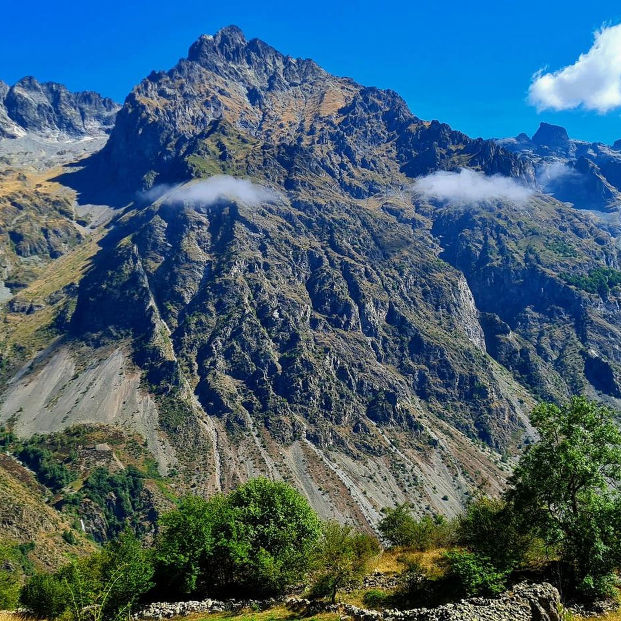
Villar-Loubière is a small picturesque village located above the Séveraisse. The village is overlooked by the Chastelas cliff. It is the entry point to the high peaks of Valgaudemar.
0
0

It is nice to see such an old watermill. You can even go inside where they have displayed some old machinery which were used to make flour and oil from nuts and seeds
1
0

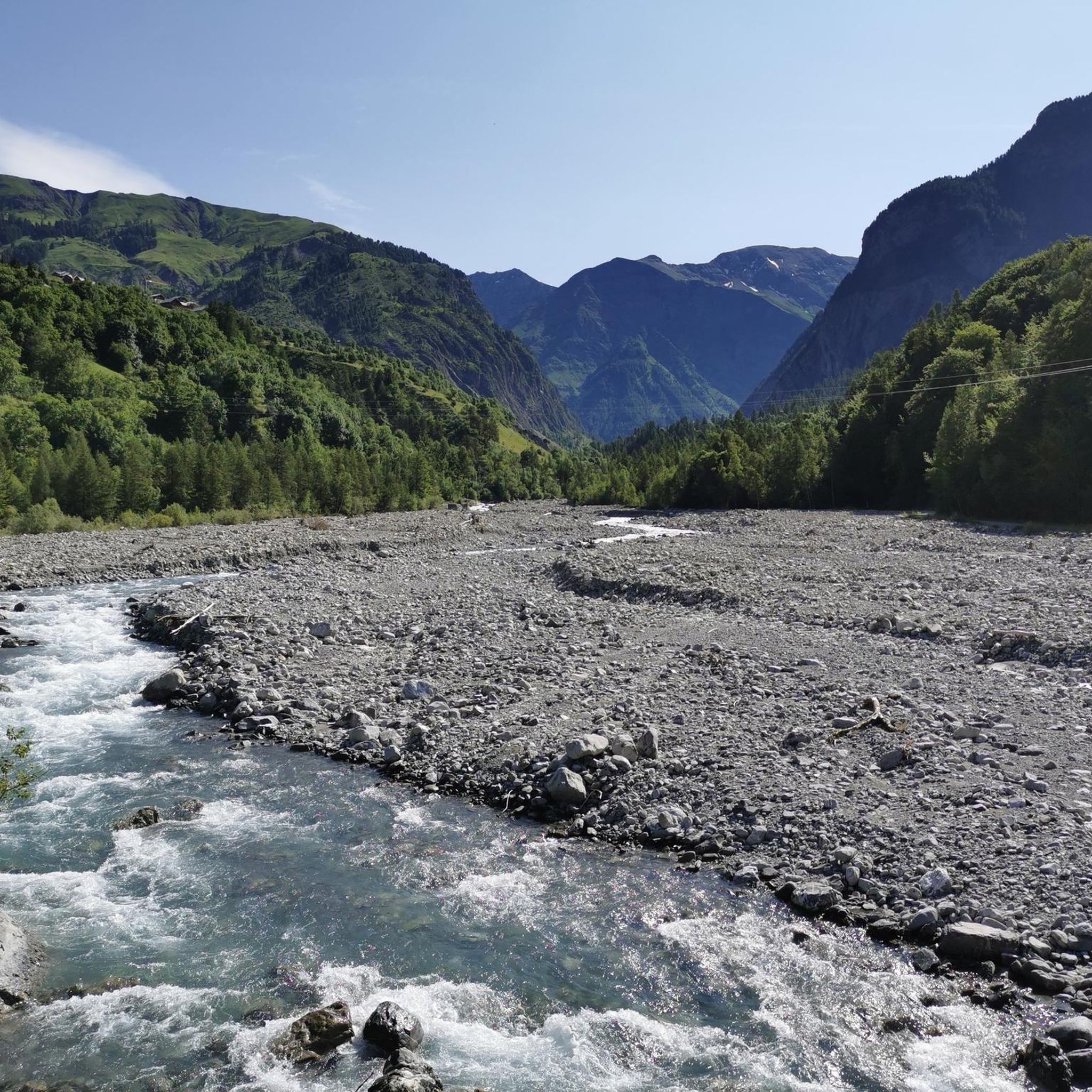
Unobstructed view of the Champsaur bocage, on a very small quiet asphalt road.
2
0
Frequently Asked Questions
How many touring cycling routes are available around Lacs de Crupillouse?
There are 5 touring cycling routes available around Lacs de Crupillouse. These routes offer a range of experiences, from moderate valley rides to challenging climbs through alpine terrain.
What kind of landscapes can I expect to see while touring cycling in this region?
The region around Lacs de Crupillouse is characterized by dramatic Alpine landscapes. You'll encounter glacial cirques, polished white-pink gneiss rocks, and high-altitude lakes, often with a turquoise hue. Higher elevations offer expansive panoramic views across the Champoléon valley, with winding roads providing spectacular views of snow-capped peaks and verdant valleys.
What do other touring cyclists say about cycling in Lacs de Crupillouse?
The touring cycling routes in Lacs de Crupillouse are highly rated by the komoot community, with an average score of 5.0 stars from over 4 reviews. More than 115 touring cyclists have used komoot to explore the varied terrain, often praising the challenging climbs and breathtaking scenery.
Are there any circular touring cycling routes in the area?
Yes, several routes are designed as loops. For example, the Valgo – Fountain – Water Point loop from Le Bourg is a difficult 26.0-mile (41.8 km) path, and The Chapel of Valgaudemar – Villar-Loubière loop from Le Bourg is a moderate 10.4-mile (16.7 km) option.
Can I find routes that feature waterfalls?
Yes, you can find routes that pass by waterfalls. The Cascade – Gioberney Waterfall loop from Le Bourg is a difficult 12.4-mile (20.0 km) route that includes a waterfall feature, offering a scenic highlight during your ride.
Are there any easier touring cycling routes suitable for beginners or families?
While many routes in the region are challenging, there is an easy option available. The Cascade loop from Le Bourg is an easy 4.6-mile (7.4 km) route with minimal elevation gain, making it suitable for those looking for a less strenuous ride or for families.
What are some of the more challenging touring cycling routes for experienced riders?
For experienced riders seeking a challenge, the Sautet Dam – Pont du Loup over the Drac loop from La Chapelle-en-Valgaudémar is a difficult 49.5-mile (79.7 km) route with significant elevation gain. Another demanding option is the Valgo – Fountain – Water Point loop from Le Bourg, which navigates winding roads through alpine scenery.
When is the best time of year to go touring cycling around Lacs de Crupillouse?
The best time for touring cycling in this high-altitude Alpine region is typically from late spring through early autumn, roughly June to September. During these months, the weather is generally more stable, and mountain passes are clear of snow, offering optimal conditions for cycling and enjoying the natural beauty.
Is public transport available to access touring cycling routes in the Lacs de Crupillouse area?
While specific public transport options directly to all trailheads might be limited due to the remote nature of some areas within Parc National des Écrins, it's advisable to check local bus services or shuttle options connecting to larger towns in the Champoléon valley. Planning your route with starting points accessible by car is often the most flexible option.
Are there places to eat or stay near the touring cycling routes?
The Champoléon valley, which surrounds the Lacs de Crupillouse, offers various accommodation options, including gîtes, hotels, and campsites. You can also find cafes and restaurants in villages like Le Bourg, providing opportunities to refuel and relax after your ride. It's recommended to book accommodation in advance, especially during peak season.
What should I bring for a touring cycling trip in this region?
Given the mountainous terrain and variable alpine weather, it's essential to bring appropriate gear. This includes layers of clothing, rain gear, a helmet, repair kit, sufficient water and snacks, and a fully charged phone. A good touring bike capable of handling climbs and descents is also recommended. Don't forget your camera for the panoramic views!
Is it possible to cycle directly to the Lacs de Crupillouse?
While the surrounding region offers excellent touring cycling opportunities, directly reaching the Lacs de Crupillouse themselves typically involves challenging hiking routes with significant elevation gains. The lakes are situated in ancient glacial cirques, and the immediate path to them is more suited for hiking than cycling.
Most popular routes around Lacs de Crupillouse

Get inspired with the komoot mobile app


Explore more
Browse the best Cycling routes in other regions.
