The best walks and hikes around Burgsponheim
4.5
(7461)
29,867
hikers
854
hikes
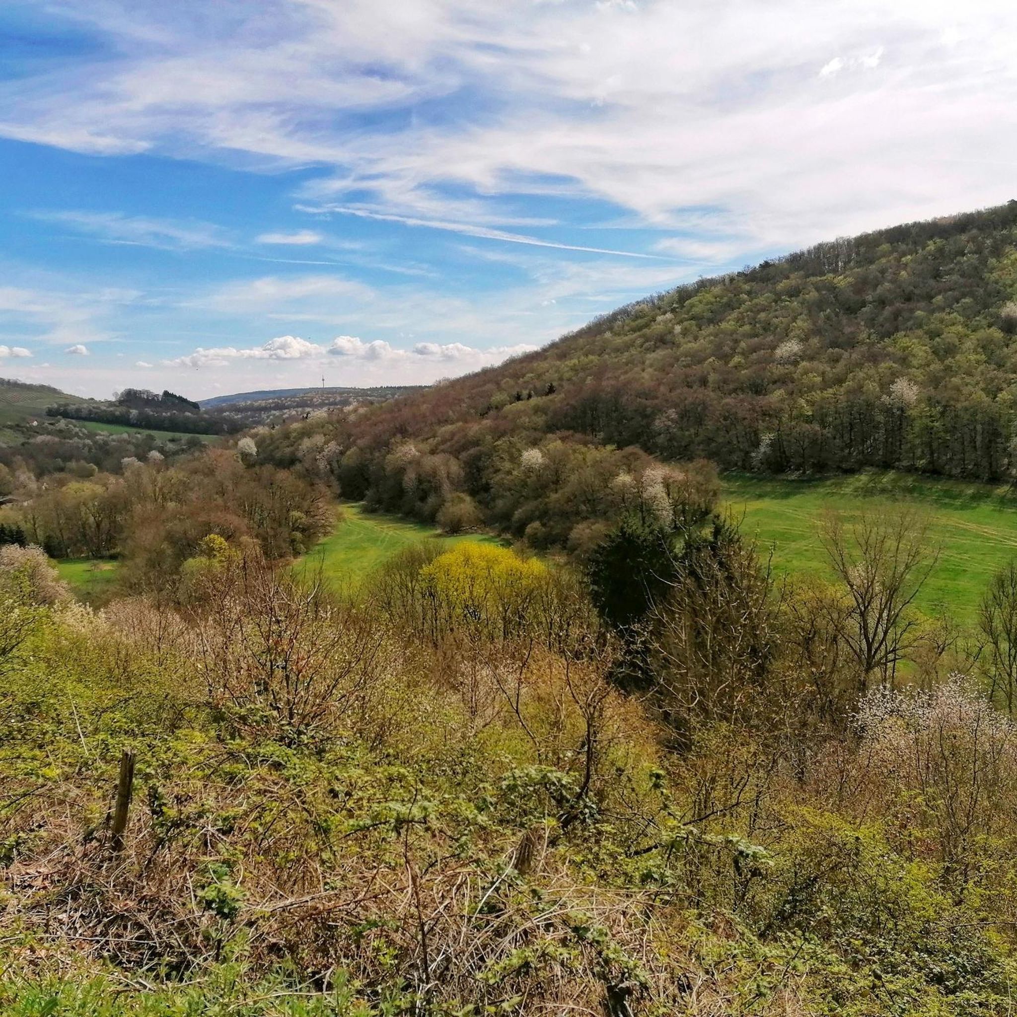
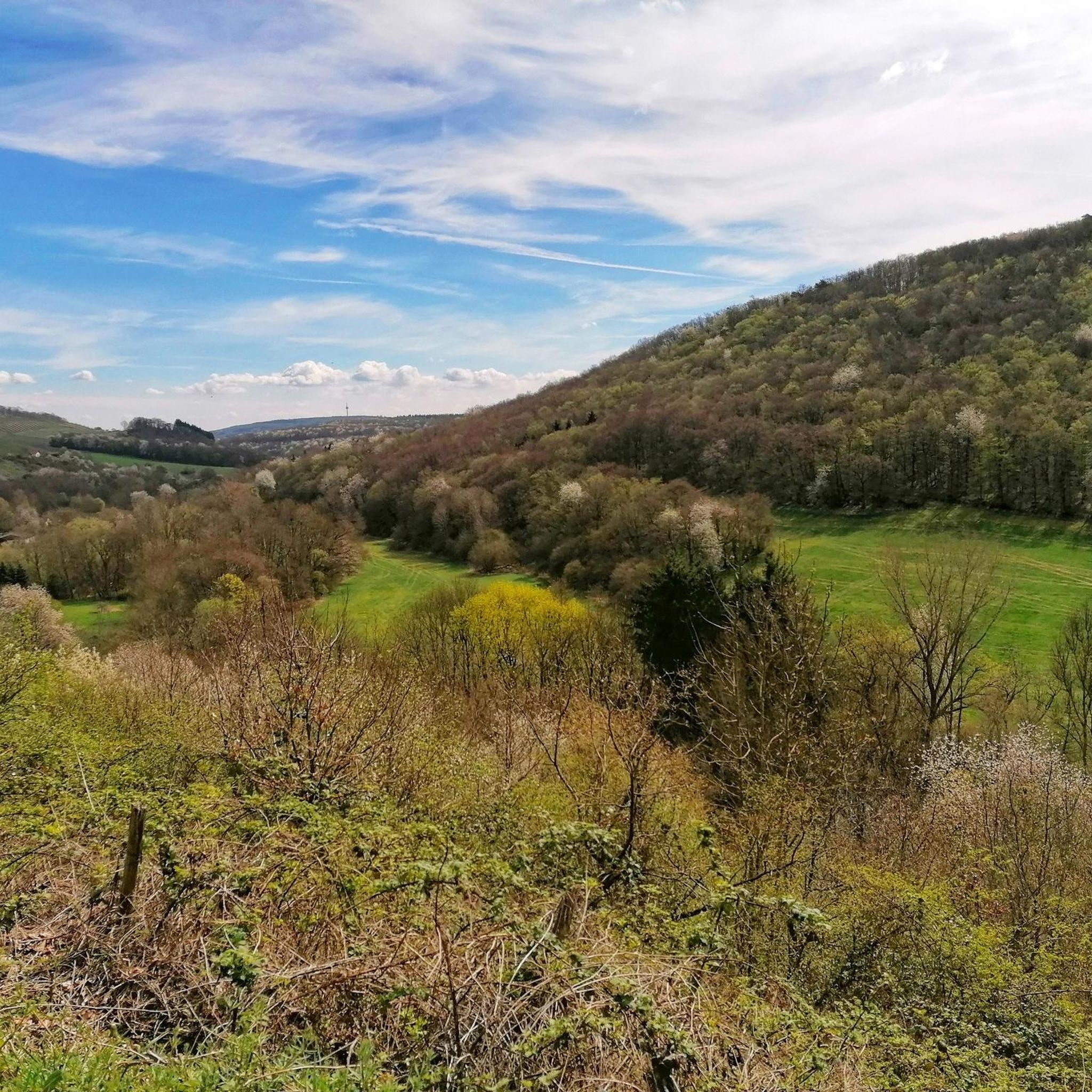
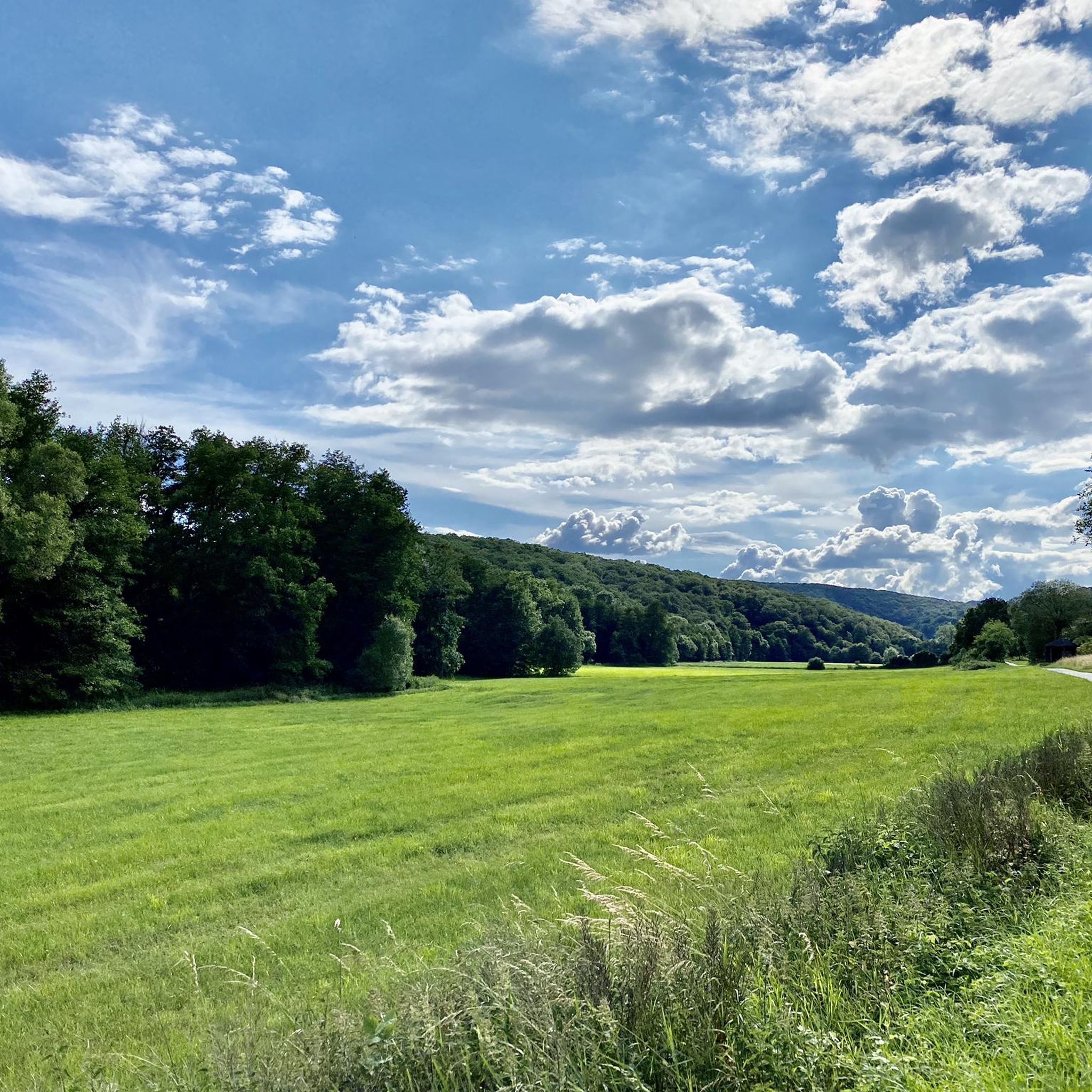
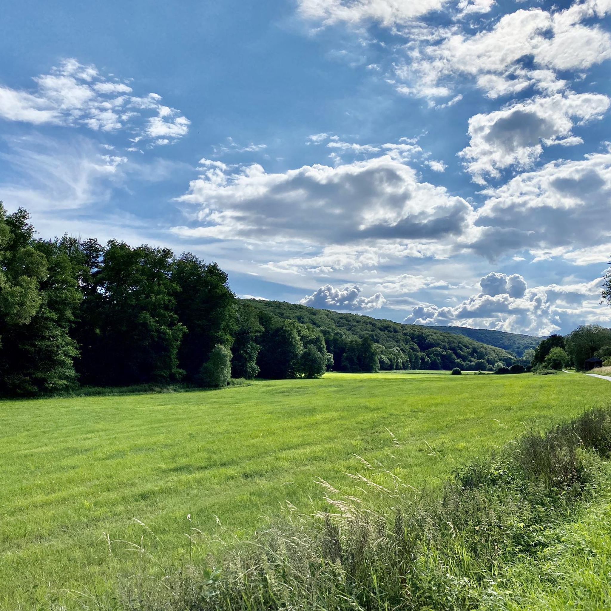
Hiking trails around Burgsponheim traverse a varied topography, including dense forests, vineyards, and river valleys such as the Ellerbach and Nahe valleys. The region is characterized by rolling hills and green meadows, offering diverse landscapes for outdoor activities. Elevations are generally moderate, with routes leading through forested areas and past historical sites. The terrain provides a mix of easy paths and more challenging ascents.
Best hiking trails around Burgsponheim
- The most popular hiking route is View of Spabrücken – View…
Last updated: May 18, 2026
4.6
(15)
57
hikers
4.47km
01:15
80m
80m
Easy hike. Great for any fitness level. Easily-accessible paths. Suitable for all skill levels.
4.7
(3)
13
hikers
Easy hike. Great for any fitness level. Easily-accessible paths. Suitable for all skill levels.

Sign up for free
4.7
(7)
24
hikers
Easy hike. Great for any fitness level. Easily-accessible paths. Suitable for all skill levels.
5.0
(1)
7
hikers
Moderate hike. Good fitness required. Easily-accessible paths. Suitable for all skill levels.
5.0
(1)
11
hikers
9.17km
02:37
220m
220m
Moderate hike. Good fitness required. Easily-accessible paths. Suitable for all skill levels.
Get access to more routes and recommendations from other explorers.
Sign up for free
Already have an account?
Our route recommendations are based on thousands of hikes, rides, and runs completed by other people on komoot.
Start today with a free account
Your next adventure awaits.
Login or Signup
Tips from the Community

"Lord, it is time. The summer was very long. Cast your shadow on the sundials, and let the winds loose in the fields. Command the last fruits to be full; give them two more southerly days, urge them toward perfection, and chase the last sweetness into the heavy wine." (Rainer Maria Rilke, 1875–1926)
0
0

Great view from the Welschberg of Waldböckelheim and the mountain church.
3
0

Information board. Kudos to the creator of this board.
0
0
beautiful rest area and panoramic views
0
0
Beautiful shelter on the hiking trail
0
0

Very beautiful church. You see the church differently from every side. The monastery garden is also beautiful.
0
0

Frequently Asked Questions
How many hiking trails are available around Burgsponheim?
Burgsponheim offers a diverse network of over 10 hiking trails. These include 8 easy routes, 1 moderate, and 1 difficult trail, catering to various fitness levels and preferences.
What kind of terrain can I expect on hikes around Burgsponheim?
The terrain around Burgsponheim is varied, featuring rolling hills, dense forests, vineyards, and picturesque river valleys like the Ellerbach and Nahe. You'll find a mix of easy paths and some more challenging ascents, often leading through forested areas and past historical sites.
Are there any family-friendly hiking options in Burgsponheim?
Yes, Burgsponheim has several easy trails suitable for families. The nearby Bärensee Circular Trail is particularly recommended for its easy walkability and features picnic spots, making it ideal for a break with children.
Can I bring my dog on the hiking trails around Burgsponheim?
Many trails around Burgsponheim are dog-friendly, allowing you to enjoy the natural beauty with your canine companion. It's always advisable to keep dogs on a leash, especially near wildlife or in vineyard areas, and to carry water for them.
What historical landmarks or viewpoints can I see while hiking?
Hiking around Burgsponheim offers access to significant historical sites and scenic viewpoints. You can explore the ruins of Burg Sponheim, the medieval spur castle that gives the town its name, offering panoramic views. Other notable viewpoints include the View of the Nahe Valley from Lemberghütte Observation Platform and the Gangelsberg Stone Table and Scenic Viewpoint.
Are there any circular hiking routes available?
Yes, Burgsponheim is well-suited for circular walks. A notable option is the Burgsponheimer Grafenrunde, an approximately 5 km circular trail that provides beautiful views of the town, the Sponheim Castle ruins, and leads past vineyards. Another popular choice is the View of Spabrücken – View of Sponheim loop from Burgsponheim, an easy 4.5 km route.
What is the best time of year to go hiking in Burgsponheim?
The region truly comes alive in spring with blooming meadows and in autumn with vibrant deciduous forests, offering optimal conditions and stunning scenery for long walks. While beautiful year-round, these seasons provide particularly picturesque hiking experiences.
What do other hikers enjoy most about the trails in Burgsponheim?
The trails in Burgsponheim are highly rated by the komoot community, with an average score of 4.6 stars from nearly 7,000 reviews. Hikers often praise the diverse landscapes, the well-maintained paths, and the combination of natural beauty with historical landmarks like Burg Sponheim.
Are there options for longer, more challenging treks?
For those seeking a more extended trek, parts of the long-distance Hunsrück-Höhenweg pass through the Burgsponheim area. This trail offers spectacular views and leads through picturesque villages and historical sites. A challenging local option is the Shelter with map – View of Sponheim loop from Burgsponheim, a difficult 20.5 km route.
How can I get to Burgsponheim using public transport?
While Burgsponheim is nestled in a rural area, public transport options exist. The nearest train station would typically be in a larger town in the Nahe region, from where local bus routes might connect to Burgsponheim. It's recommended to check local bus schedules for connections from nearby transport hubs.
Where can I find parking for the hiking trails?
Parking is generally available in and around Burgsponheim, especially near trailheads or in the village center. For specific routes like the Burgsponheimer Grafenrunde, designated parking spots are often signposted. It's usually easy to find a convenient place to leave your car before starting your hike.
Are there any cafes or restaurants in Burgsponheim for a post-hike meal?
Burgsponheim and its surrounding villages offer local establishments where you can enjoy a meal or a refreshing drink after your hike. You'll find traditional German cuisine and local wines, providing a pleasant end to your outdoor adventure.
Most popular routes around Burgsponheim
Most popular attractions around Burgsponheim

Get inspired with the komoot mobile app


Explore more
Browse the best Hikes in other regions.
