The best walks and hikes around Laughill
4.7
(31)
234
hikers
5
hikes
Hiking around Laughill is characterized by coastal paths along the Atlantic, lakeside trails, and routes that follow local rivers. The region's landscape is defined by its proximity to the water, with many walking trails offering views across bays and loughs. The terrain is generally low-lying, featuring a mix of paved walkways, beach sections, and natural paths suitable for a range of abilities.
Best hiking trails around Laughill
- The most popular hiking route is Rougey Walk loop from Bundoran, a…
Last updated: October 28, 2026
4.8
(14)
93
hikers
4.22km
01:06
30m
30m
Easy hike. Easily walkable paths.
4.9
(7)
21
hikers
5.13km
01:24
70m
70m
Easy hike. Easily walkable paths.

4
hikers
2.96km
00:45
10m
10m
Easy hike. Easily walkable paths.
4.5
(4)
84
hikers
5.75km
01:29
30m
30m
Easy hike. Easily walkable paths.
5
hikers
3.56km
00:56
30m
30m
Easy hike. Easily walkable paths.
Our route recommendations are based on thousands of hikes, rides, and runs completed by other people on komoot.
Tips from the Community

The West End Pool is a huge rock pool that has been dammed to become a tidal swimming pool. The high tide changes the water, and the low tide exposes the pool which then warms up (sometimes). It's a great place for a safer swim.
0
0
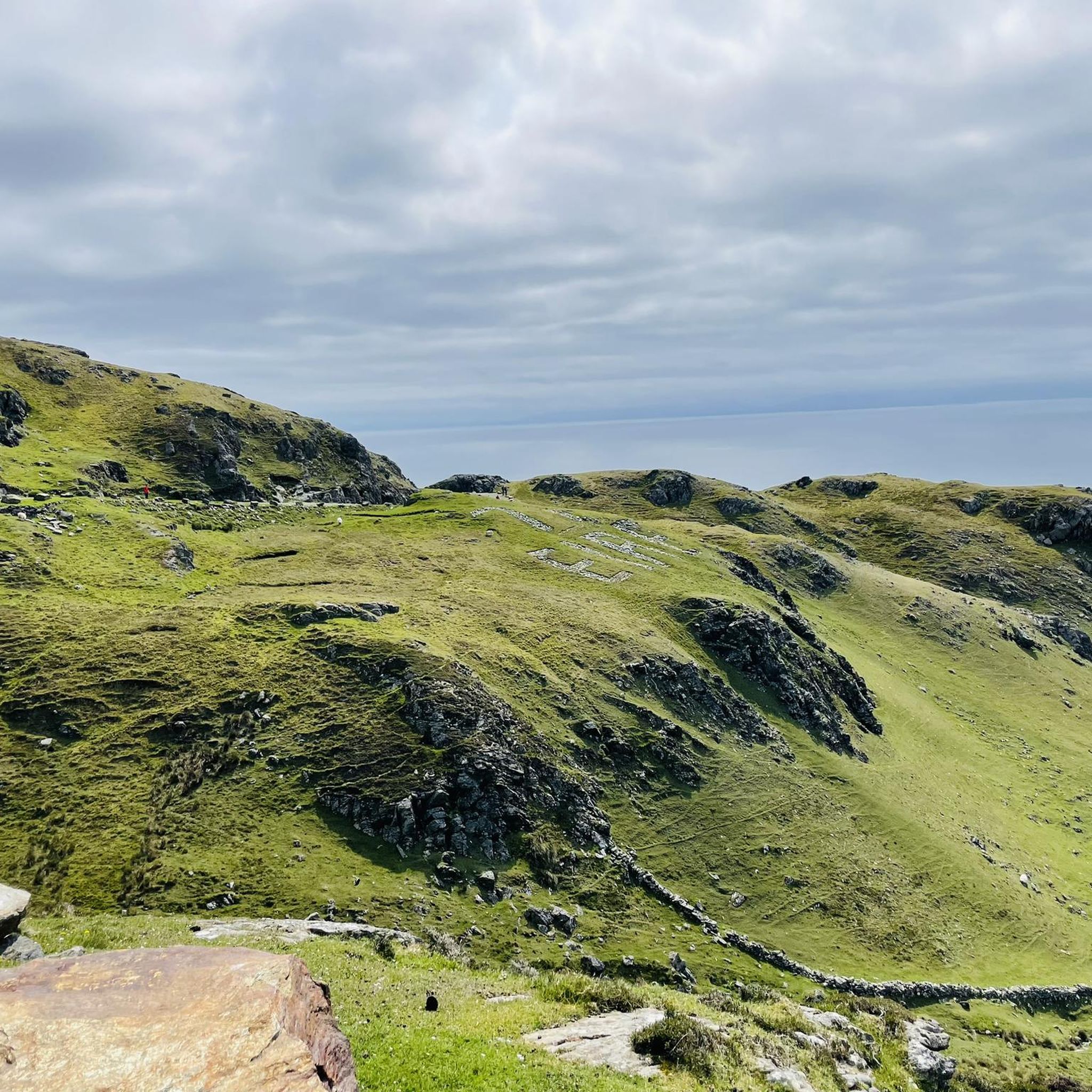
Known as the west end Cliff Walk this coastal trail follows the shoreline west of Bundoran. You can visit the tidal pool, make the walk into a longer loop by including the Rougey Walk or simply time it right and witness a perfect sunset.
0
0

Beautiful sandy beach on Donegal Bay, overlooking Mullaghmore and the Donegal coastline. A lively, accessible beach along Bundoran's promenade.
2
0
In the heart of Ballyshannon, on the central plaza known as The Diamond, stands the imposing bronze statue of the world-famous blues-rock guitarist Rory Gallagher. The life-size artwork, crafted in 2010 by sculptor David Annand, depicts Gallagher in a characteristic, dynamic pose with his iconic, worn 1961 Fender Stratocaster. On the pedestal of the over two-meter-high statue are the inspiring opening lines of his song Follow Me: "I want to plant a star on the sky / One you can find at the end of the night".
3
0
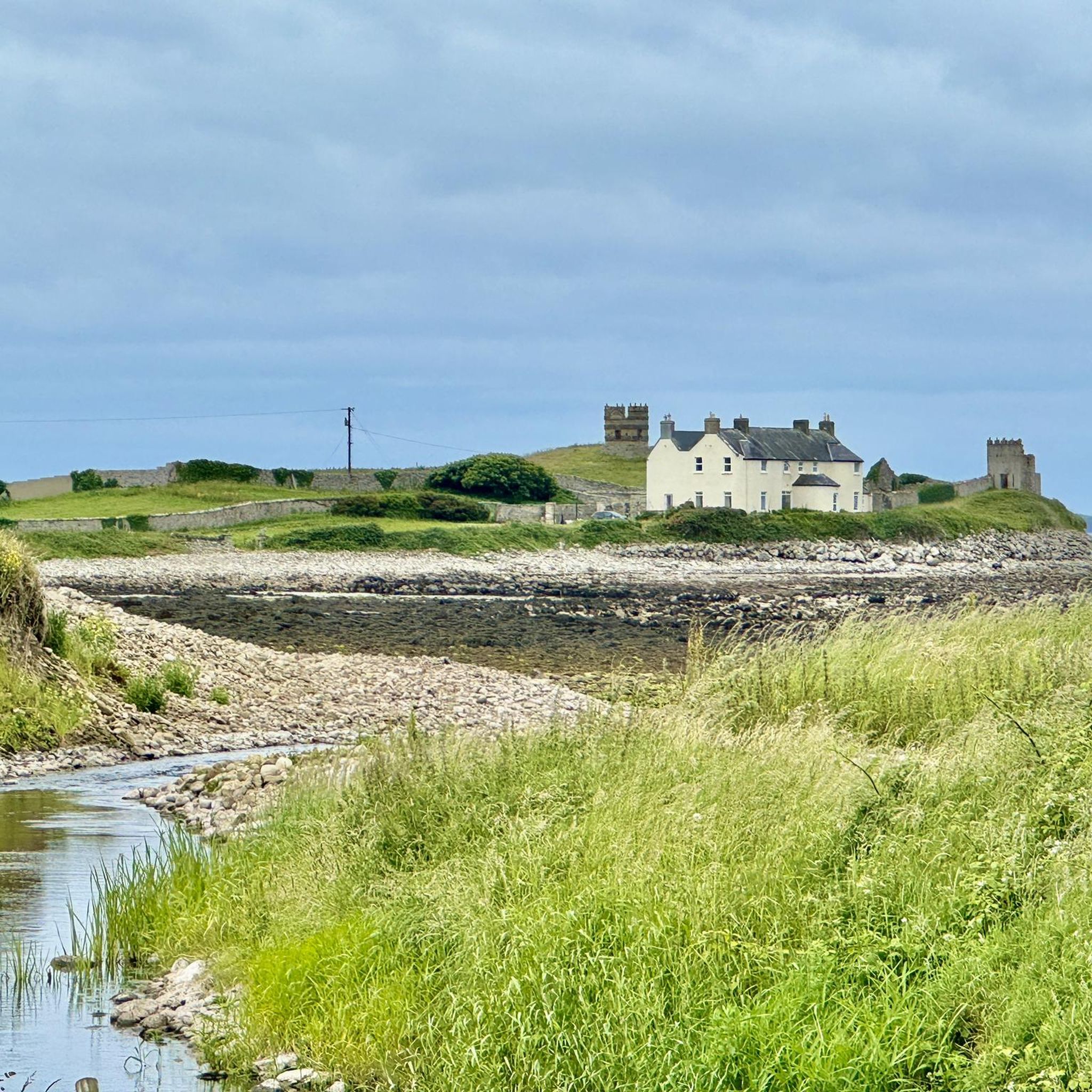
Quiet, open part of Donegal Bay where the Breedoge River flows into the sea. Wide horizon, tidal flats and views of Bundoran make this a subtle but atmospheric landscape moment between Tullaghan and the Donegal coast.
3
0


This is a nice spot to have a bit of a rest and a bite to eat after your lovely walk. Very convenient being next to the road and with a couple of benches here as well.
0
0
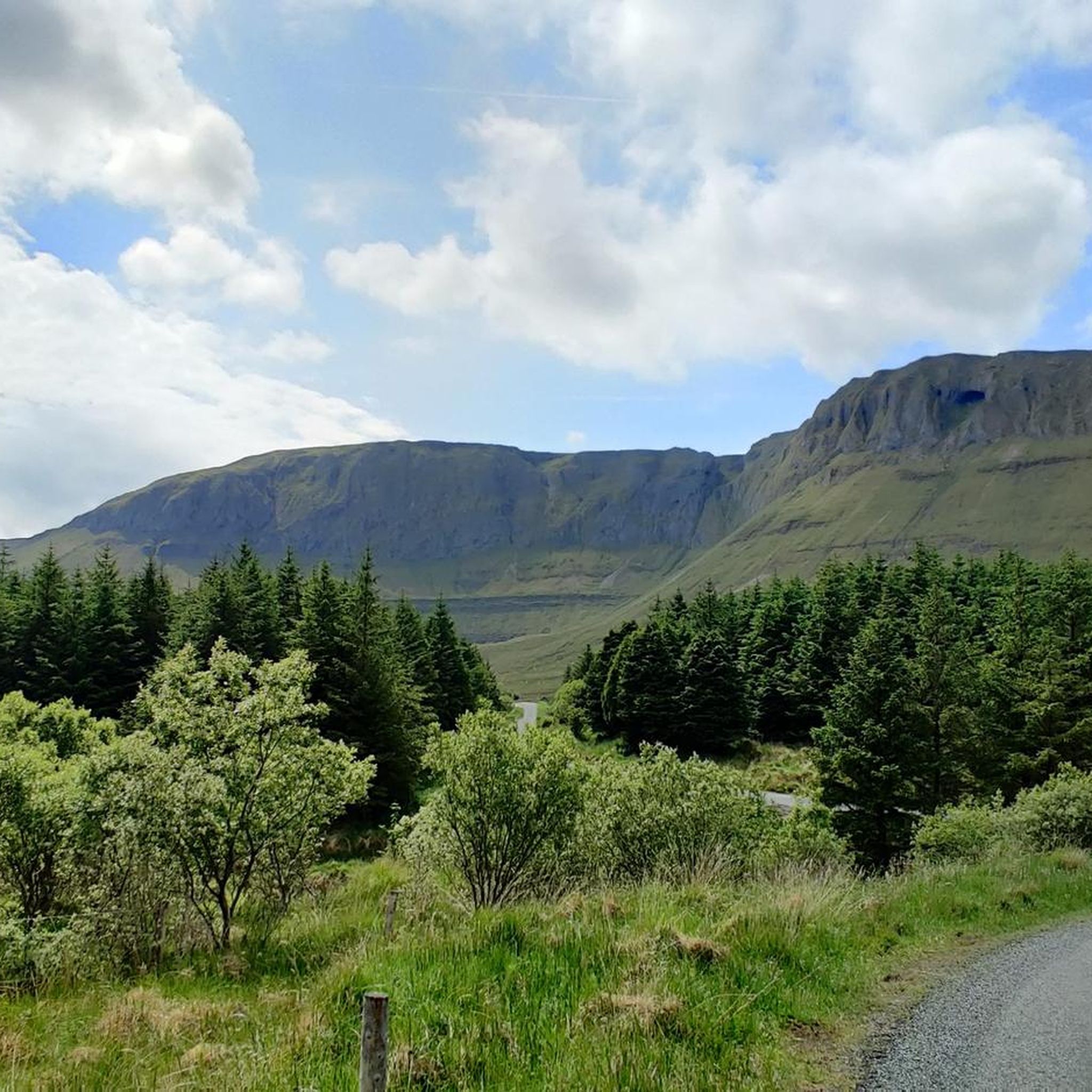
As the Glenanniff River travels down from the mountains above, it has eroded the local blue limestone to form a deep river valley. Fowley’s Falls is not a single drop waterfall; instead, it cascades in a series of drops over the exposed bedrock to form a spectacular torrent of water rushing through the steep valley towards Lough Melvin.
0
0
Frequently Asked Questions
What is the landscape like for hiking around Laughill?
The hiking landscape around Laughill is defined by its proximity to the Atlantic coast. Expect to find trails that follow coastal paths, wind around loughs, and trace local rivers. The terrain is generally low-lying and features a mix of paved walkways, sandy beach sections, and natural soil paths, offering a gentle hiking experience with beautiful water views.
Are there any easy, short circular walks suitable for beginners?
Yes, the area has several easy circular routes. A great option for a short walk is the Fowley's Falls – Picnic Spot loop from Rossinver. It's a pleasant 2.5 km walk that's perfect for a quick outing and features a lovely picnic area.
Can I bring my dog on the trails near Laughill?
Many trails in the area are suitable for walking with dogs, especially the open coastal paths. For a specific recommendation, The Fairy Glen is a popular spot for dog walkers, offering a lovely walk along a river where dogs can often get down to the water's edge. Always remember to keep your dog under control and clean up after them.
Are there any hikes with waterfalls in the Laughill area?
Yes, you can find trails that feature waterfalls. The Fowley's Falls Trail from Lough Melvin — County Leitrim is a well-liked route that takes you through woodland alongside a river with a series of cascades.
What do other hikers think of the trails around Laughill?
The trails around Laughill are highly rated by the komoot community, with an average score of 4.8 out of 5 stars. Hikers often praise the stunning coastal views, the accessibility of the paths, and the peaceful atmosphere of the riverside walks.
Are there any family-friendly hiking options?
Absolutely. The region is great for family outings due to its many flat and easy trails. The Bundoran Beach loop from Bundoran is a fantastic choice, combining a walk along the beach with other local paths, making it engaging for all ages.
What are some popular places to hike near Laughill?
Besides the individual trails, there are several well-regarded hiking areas. The Rougey Walk loop from Bundoran is a very popular coastal path. For more expansive scenery, the Ring of Gullion Area of Outstanding Natural Beauty offers stunning landscapes and more challenging climbs. Another local favorite is the Slieve Foye Loop, which provides amazing views over Carlingford Lough.
What should I pack for a hike in Laughill?
For most hikes around Laughill, comfortable walking shoes are sufficient. As the weather can change quickly, it's always wise to bring a waterproof jacket. Since many trails are near water, some paths can be wet underfoot, so waterproof footwear is a good idea. Also, pack water and some snacks, especially for longer routes.
Are there any challenging hikes available for experienced hikers?
While most trails in the immediate Laughill area are easy to moderate, experienced hikers can find challenges nearby. For a steeper climb and rewarding 360-degree views, consider a hike in the Ring of Gullion Area of Outstanding Natural Beauty. The trails there, such as the one to the top of Slieve Gullion, involve rocky and steep sections.
Where can I find the best scenic viewpoints on a hike?
Many trails offer fantastic scenery. For dramatic coastal views over the Atlantic, the West end pool – Bundoran Beach loop from Bundoran is an excellent choice. For panoramic views over Carlingford Lough, the Slieve Foye Loop is highly recommended by local walkers.
When is the best time of year to hike around Laughill?
Hiking is possible year-round, but the best time is from late spring to early autumn (May to September) when the weather is milder and daylight hours are longer. This period offers the best conditions for enjoying the coastal and riverside scenery. However, a brisk winter walk can also be beautiful, provided you are prepared for cooler and wetter conditions.
Most popular routes around Laughill
Most popular attractions around Laughill

Get inspired with the komoot mobile app


Explore more
Browse the best Hikes in other regions.
