The best running trails around Ynysddu
4.4
(62)
7,832
runners
421
runs
Jogging around Ynysddu offers diverse terrain within the Sirhowy Valley of south-east Wales. The region features forested valley slopes, accessible canal towpaths, and the tranquil River Ely floodplain meadow. Nearby hills like Twmbarlwm and Caerphilly Mountain provide more challenging ascents and panoramic views. This varied landscape caters to a range of fitness levels, from leisurely runs to demanding trail running experiences.
Best jogging routes around Ynysddu
- The most popular jogging route is Gelligroes Mill loop from Crosskeys, a 10.6…
Last updated: July 19, 2026
5.0
(3)
81
runners
18.1km
02:00
250m
250m
Hard run. Very good fitness required. Mostly paved surfaces. Suitable for all skill levels.
45
runners
9.73km
01:04
140m
140m
Moderate run. Good fitness required. Mostly paved surfaces. Suitable for all skill levels.

Sign up for free
33
runners
16.8km
01:55
440m
440m
Hard run. Very good fitness required. Mostly paved surfaces. Suitable for all skill levels.
4.0
(1)
28
runners
14.9km
01:39
320m
320m
Hard run. Very good fitness required. Mostly paved surfaces. Suitable for all skill levels.
57
runners
8.18km
00:53
100m
100m
Moderate run. Good fitness required. Mostly paved surfaces. Suitable for all skill levels.
Get access to more routes and recommendations from other explorers.
Sign up for free
Already have an account?
Our route recommendations are based on thousands of hikes, rides, and runs completed by other people on komoot.
Start today with a free account
Your next adventure awaits.
Login or Signup

Tips from the Community

Titanic rescue history linked to this location. Worth a visit if you are in the area.
0
0

Nice ascent from Crosskeys, but watch out for very overgrown pathways on the Machen side. Great views from the top!
1
0
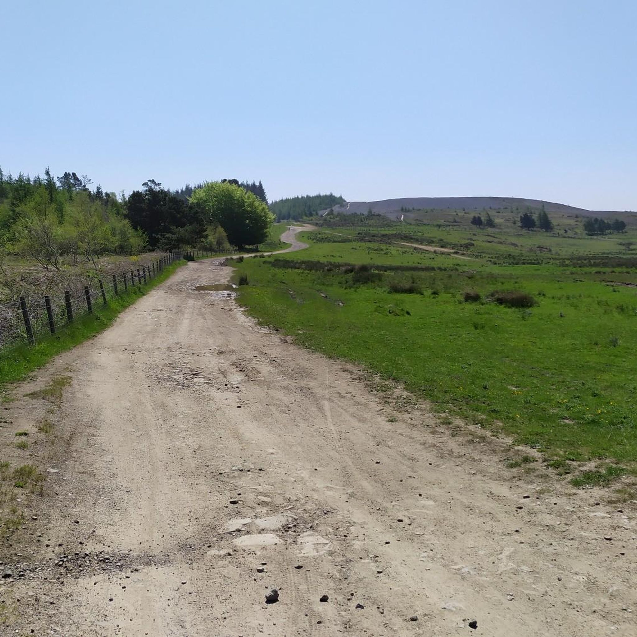
The terrain on the path is suitable for a gravel bike and can also be done with a road bike.
0
0

Really nice tarmac path through the trees, nice and safe traffic free apart from the occasional dog walker
0
0

plenty of free parking in Machen next to the village hall and library
1
0

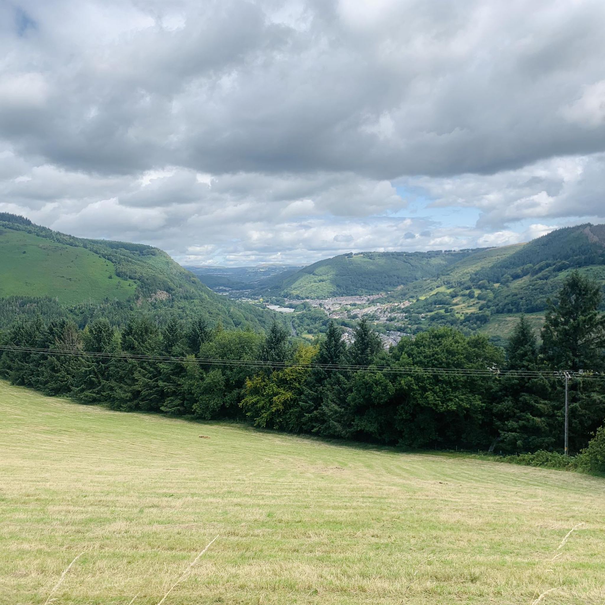
Mynydd Machen is a 1,188-foot (362 m) hill in South Wales which affords glorious views over Newport, Cardiff, Steep Holm, Flat Holm, Brean Down, and the Severn Estuary. The summit is marked by the rock 10 feet (3 m) northwest of the trig point.
2
0

Mynydd Machen is a 362-metre-high (1,188 ft) hill lying between the town of Risca and the village of Machen in Caerphilly County Borough in South Wales. Its summit is crowned by a trig point and a mast. It is a UK listed Marilyn.
3
0

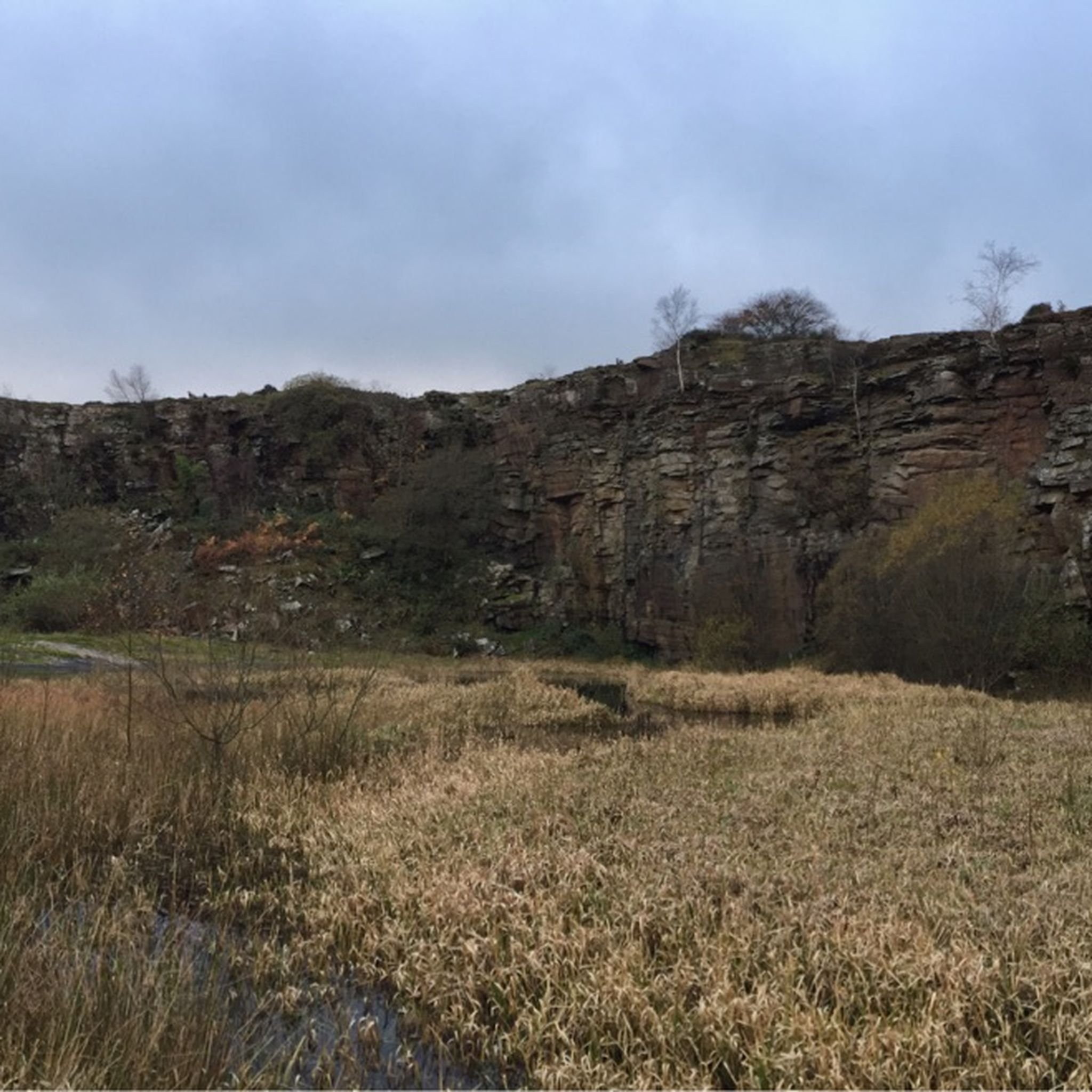
Great tester of a climb on a mountain bike (or even gravel bike if you're brave)! You'll find large, angular and chunky rocks on the trail, with a highline ridge to the right featuring more roots. Find this trail in the Sirhowy Valley Country Park, not far from the brilliantly named Wattsville. Good luck!
1
0
Frequently Asked Questions
How many running routes are available in the Ynysddu area?
Ynysddu offers a wide variety of running experiences, with over 440 routes available. These range from easy paths to more challenging trails, catering to all fitness levels.
What are the difficulty levels of running trails in Ynysddu?
The running trails around Ynysddu offer a good mix of difficulties. You'll find 39 easy routes perfect for a relaxed jog, 288 moderate trails for a steady run, and 118 difficult routes for those seeking a more strenuous challenge.
Are there any challenging running routes for experienced runners?
Yes, for experienced runners seeking a challenge, Ynysddu has several demanding routes. Consider the Woodland Trail – Mynydd Machen Summit loop from Cwmfelinfach, which includes a significant ascent. The area's prominent hills like Twmbarlwm also offer technical trail running opportunities with stunning views.
Can I find easy running routes suitable for beginners or a relaxed jog?
Absolutely. Ynysddu provides many easy running options. The Sirhowy Valley features accessible canal towpaths and routes like the Sirhowy Walk loop, which is considered suitable for all fitness levels. For a moderate but steady run, the Oak Tree loop from Crosskeys is a popular choice.
Are there circular running routes in Ynysddu?
Yes, many of the running paths in Ynysddu are designed as circular routes, allowing you to start and finish at the same point. Examples include the Gelligroes Mill loop from Crosskeys and the Oak Tree loop from Wattsville, providing convenient options for your run.
What kind of scenery can I expect on the running trails?
The running trails in Ynysddu offer diverse and picturesque scenery. You'll encounter forested valley slopes, tranquil canal towpaths, and the wildflower-rich River Ely floodplain meadow. Higher elevations like Twmbarlwm and Caerphilly Mountain provide magnificent panoramic views of the surrounding Welsh landscape.
Are there any notable landmarks or natural attractions along the running routes?
Yes, the area boasts several interesting natural landmarks. You can find the prominent Twmbarlwm Hill and Iron Age hillfort, offering historical interest and expansive views. The Mynydd Machen Summit is another key viewpoint. The River Ely floodplain meadow is also notable for its diverse wildlife, including kingfishers and slow worms.
Are the running trails in Ynysddu suitable for families?
Many trails in Ynysddu are suitable for families, especially those looking for an easy and scenic outing. The Sirhowy Walk Loop from Cwmfelinfach, for instance, is an easy hike suitable for all fitness levels, winding through the scenic Sirhowy Valley. The canal towpaths also offer generally flat and accessible options.
What do other runners say about jogging in Ynysddu?
The running routes in Ynysddu are highly regarded by the komoot community, with an average rating of 4.4 stars from over 50 reviews. Runners often praise the varied terrain, from quiet woodlands to challenging ascents, and the beautiful natural surroundings of the Sirhowy Valley.
Is parking available near the running trails in Ynysddu?
While specific parking details vary by trailhead, many popular running areas and parks in the Ynysddu region, such as Sirhowy Valley Country Park, typically offer designated parking facilities for visitors accessing the trails. It's advisable to check specific route information for the most accurate parking guidance.
Are there options for longer distance running in Ynysddu?
Yes, Ynysddu provides excellent opportunities for longer distance running. Routes like the Gelligroes Mill loop from Crosskeys cover over 17 km, offering a substantial distance. Additionally, the Celtic Trail (National Cycle Route 47) passes through the area, providing well-maintained paths that can be utilized for extended runs.
Most popular attractions around Ynysddu

Get inspired with the komoot mobile app


Explore more
Browse the best Running Trails & Routes in other regions.
