The best walks and hikes around Lake Wysockie
4.8
(677)
17,464
hikers
445
hikes
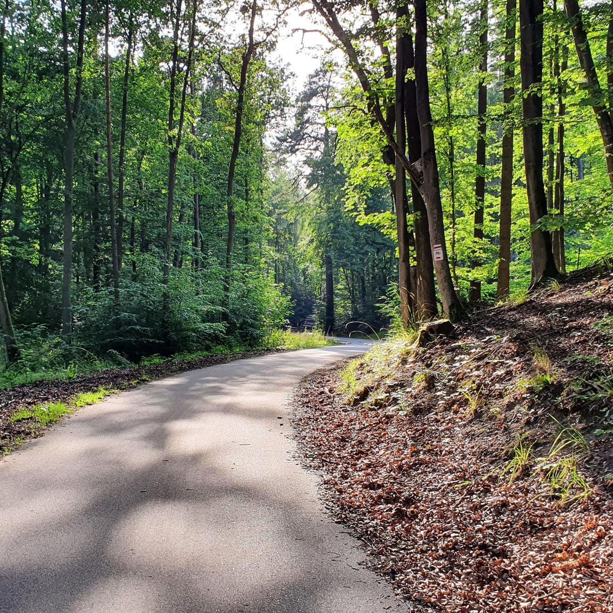
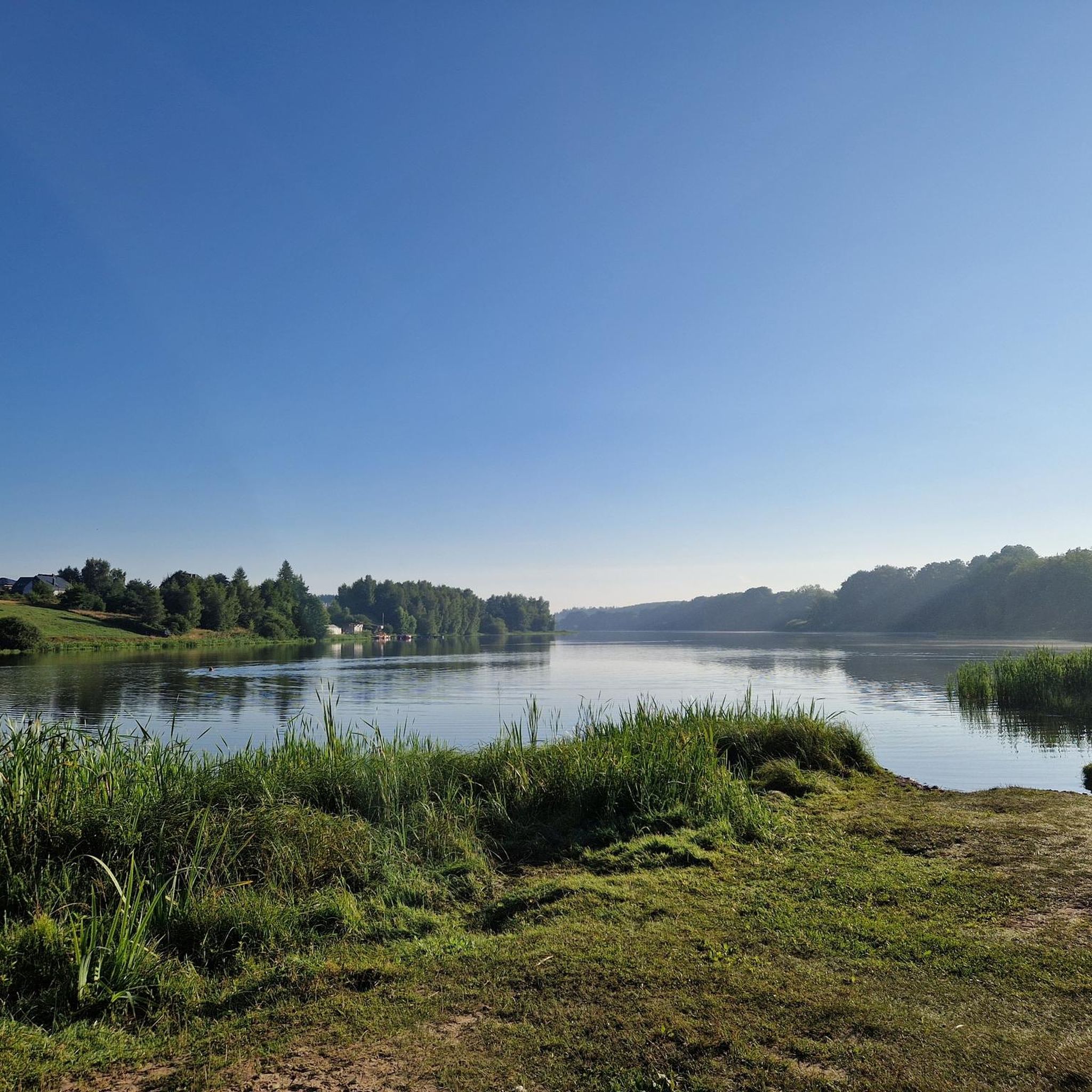
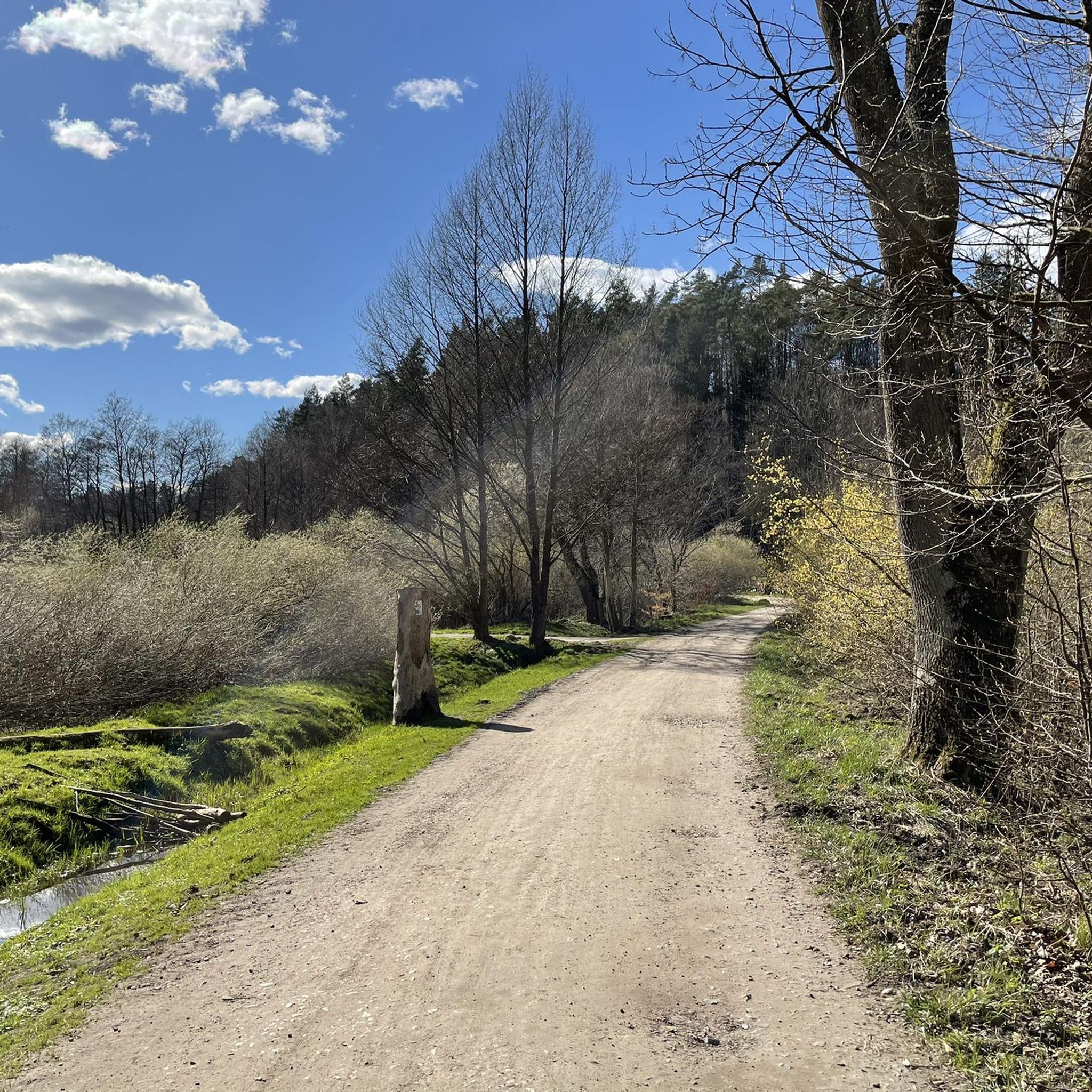
Hiking around Lake Wysockie, located near Gdańsk, Poland, offers a variety of trails for outdoor enthusiasts. The region is characterized by its lake environment, providing opportunities for walks along the water and through surrounding areas. The terrain generally features moderate elevation changes, suitable for different hiking abilities.
Best hiking trails around Lake Wysockie
- The most popular hiking route is Hiking loop from Gdańsk Osowa, a 4.9 miles (7.9 km) trail that takes 2 hours 2 minutes to complete. This moderate loop offers views of the local landscape around Gdańsk Osowa.
- Another top favourite among local hikers is Gdańsk Osowa Railway Station loop from Gdańsk Osowa, an easy 4.4 miles (7.2 km) path. This route explores the area around Gdańsk Osowa, suitable for easier walks.
- Local hikers also love the Mary's Spring loop from Osowa, a 6.5 miles (10.6 km) trail leading through varied local terrain, often completed in about 2 hours 48 minutes.
- Hiking around Lake Wysockie is defined by lake-side paths and varied local terrain, with options for different ability levels. The network includes easy and moderate routes, with some more challenging options.
- The routes in Lake Wysockie are highly rated by the komoot community with an average score of 4.7 stars from over 500 reviews. More than 14,000 hikers have used komoot to explore Lake Wysockie's varied terrain.
Last updated: September 29, 2026
7
hikers
6.20km
01:35
20m
20m
Easy hike. Great for any fitness level. Easily-accessible paths. Suitable for all skill levels.
5
hikers
7.90km
02:03
50m
50m
Moderate hike. Good fitness required. Easily-accessible paths. Suitable for all skill levels.

5.0
(1)
6
hikers
5.81km
01:29
20m
20m
Moderate hike. Great for any fitness level. Mostly accessible paths. Sure-footedness required.
16
hikers
11.2km
02:59
120m
120m
Moderate hike. Good fitness required. Easily-accessible paths. Suitable for all skill levels.
4.0
(1)
13
hikers
8.61km
02:17
90m
90m
Moderate hike. Good fitness required. Easily-accessible paths. Suitable for all skill levels.
Get access to more routes and recommendations from other explorers.
Already have an account?
Our route recommendations are based on thousands of hikes, rides, and runs completed by other people on komoot.
Start today with a free account
Your next adventure awaits.

Tips from the Community

So just a path that allows you to go under the ring road. Go over the top - along the tracks. The lower path (under the embankment) gets overgrown with grass in the summer.
0
0

On the other side of the bypass it connects with the current Starodwodcowa Street. The line opened to traffic in 1921, it was a rail access to Gdynia bypassing the Free City of Gdańsk. In the years 1926-1933 it was rebuilt in its current form during the construction of the Bydgoszcz-Gdynia railway line.
0
0

One of several over and underpasses of the railway in this area. Such underpasses under the Bypass would be useful...
0
0
In addition to a source of tasty drinking water, there are several benches where you can have breakfast. On religious holidays, outdoor services are held here.
1
0
Tasty drinking water. One of the few springs in TPK where you can refill your bottle.
1
0

It is possible to refill water here;)
1
0

The most famous place on the trail http://pomorskieszlakipttk.pl/szlaki-piesze/zrodla-marii/
0
0
Frequently Asked Questions
How many hiking trails are available around Lake Wysockie?
There are over 400 hiking routes recorded around Lake Wysockie on komoot, offering a wide variety of options for all skill levels.
What kind of terrain can I expect on hikes around Lake Wysockie?
The terrain around Lake Wysockie generally features moderate elevation changes, with paths along the water and through surrounding areas. You'll find a mix of lake-side paths and varied local terrain.
Are there easy hiking options suitable for beginners or families?
Yes, a significant portion of the trails around Lake Wysockie are rated as easy. For example, the Gdańsk Osowa Railway Station loop from Gdańsk Osowa is an easy 4.4-mile path exploring the area.
What is the average difficulty of hikes in the Lake Wysockie area?
The routes around Lake Wysockie offer a range of difficulties. Out of over 400 tours, 257 are easy, 136 are moderate, and 11 are difficult, indicating a good balance for various hiking abilities.
What do other hikers say about the trails around Lake Wysockie?
The area is highly rated by the komoot community, with an average score of 4.7 stars from over 550 reviews. Hikers often praise the varied local terrain and the opportunities for walks along the water.
Are there any longer hiking routes for more experienced hikers?
Yes, for those looking for a longer challenge, the Valley of Clear Water – Węglowa Road loop from Osowa is a moderate 8.8-mile (14.2 km) trail that takes around 3 hours 45 minutes to complete.
Can I find circular hiking routes around Lake Wysockie?
Many of the trails in the area are designed as loops. Examples include the popular Hiking loop from Gdańsk Osowa and the Mary's Spring loop from Osowa, both offering circular paths.
Where is Lake Wysockie located?
Lake Wysockie is located near Gdańsk, Poland, specifically in the area of Gdańsk Osowa.
What is the typical duration for a hike around Lake Wysockie?
Hike durations vary depending on the route's length and your pace. For instance, the Hiking loop from Gdańsk Osowa typically takes about 2 hours, while the Mary's Spring loop from Osowa is closer to 2 hours 48 minutes.
Are there moderate difficulty trails available?
Absolutely. Many trails are rated as moderate, providing a good balance for hikers. The Mary's Spring – Underpass on the Black Trail loop from Osowa is a moderate 5.2-mile (8.4 km) route.
Most popular routes around Lake Wysockie

Get inspired with the komoot mobile app


Explore more
Browse the best Hikes in other regions.
