The best walks and hikes in Landkreis Regensburg
4.5
(16441)
74,611
hikers
3,733
hikes
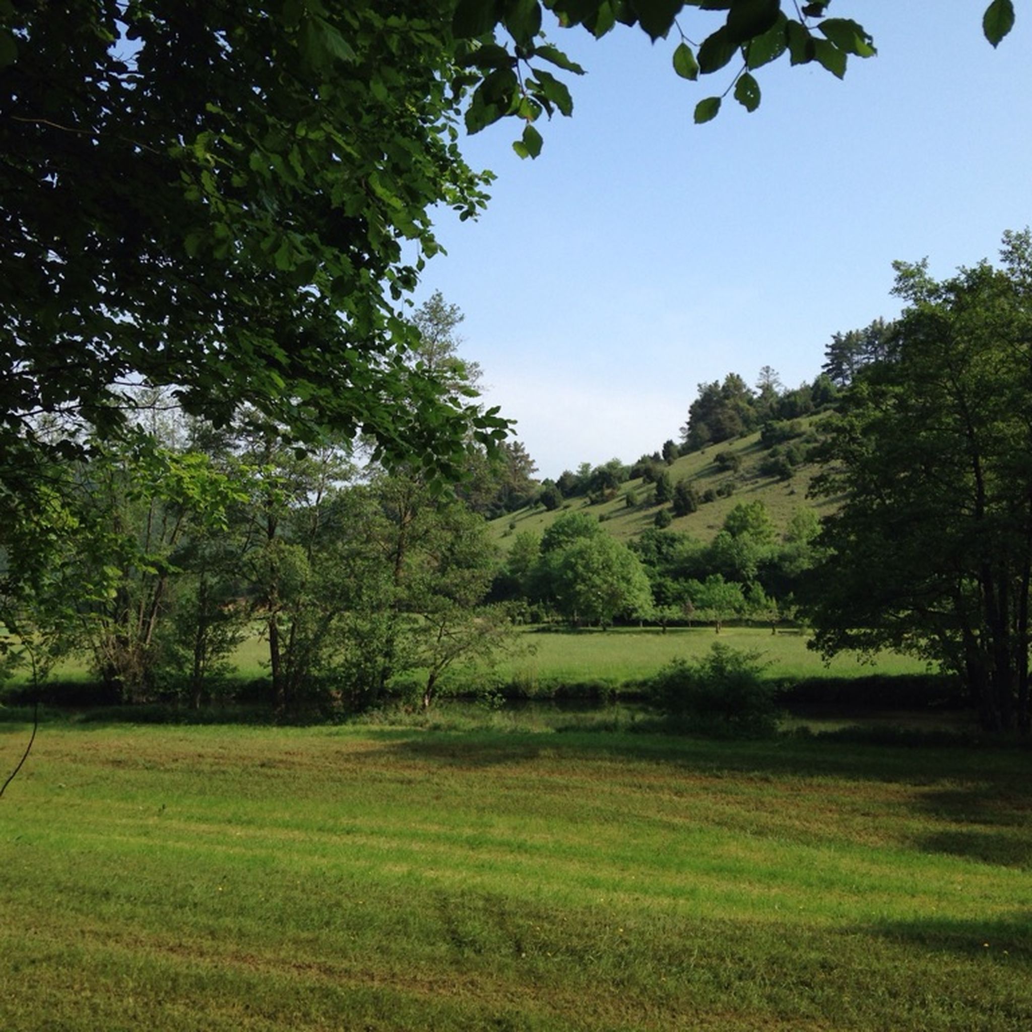
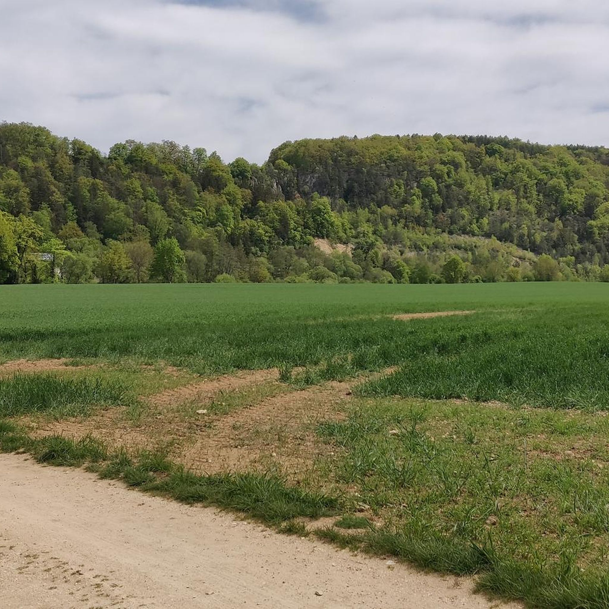
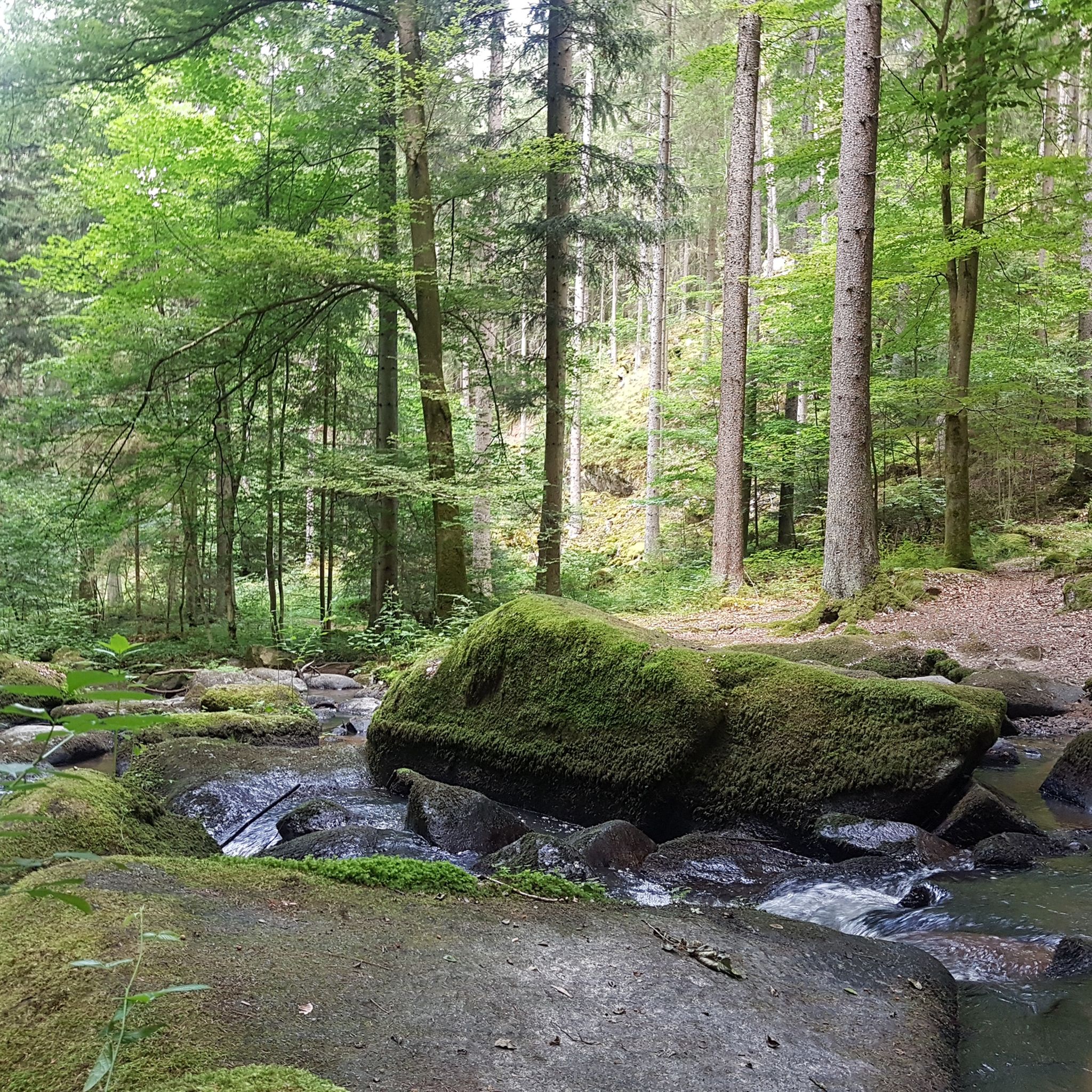
Hiking trails in Landkreis Regensburg offer diverse landscapes, from the river valleys of the Bavarian Jura to the green hills of the Vorderer Bayerischer Wald. The region features limestone cliffs, extensive forests, and routes along the Danube River. Hikers can explore areas characterized by impressive rock formations and varied vegetation.
Best hiking trails in Landkreis Regensburg
- The most popular hiking route is View of the Jura Rocks – Labertal Wall, Schönhofen loop from Schönhofen, a 6.5 miles (10.4 km) trail that takes 3 hours 8 minutes to complete. This route offers views of the Jura Rocks and follows the Labertal Wall.
- Another top favourite among local hikers is View from Hohe Wand – View of the Jura Rocks loop from Eilsbrunn, a moderate 6.5 miles (10.4 km) path. This trail provides panoramic views from Hohe Wand and showcases the Jura Rocks.
- Local hikers also love the Kallmünz Castle Ruins – House without a Roof (Kallmünz) loop from Eichenberg, a 7.0 miles (11.3 km) trail leading through varied terrain around the historic Kallmünz Castle Ruins, often completed in about 3 hours 13 minutes.
- Hiking in Landkreis Regensburg is defined by river valleys, limestone cliffs, and extensive forest areas. The network offers options for different ability levels, from easy walks to more challenging routes.
- The routes in Landkreis Regensburg are highly rated by the komoot community with an average score of 4.6 stars from over 14,000 reviews. More than 73,000 hikers have used komoot to explore Landkreis Regensburg's varied terrain.
Last updated: September 30, 2026
4.7
(339)
1,193
hikers
10.4km
03:08
220m
220m
Hard hike. Good fitness required. Sure-footedness, sturdy shoes and alpine experience required.
4.6
(232)
695
hikers
10.4km
03:05
240m
240m
Moderate hike. Good fitness required. Mostly accessible paths. Sure-footedness required.

4.7
(162)
622
hikers
Moderate hike. Good fitness required. Easily-accessible paths. Suitable for all skill levels.
4.8
(149)
454
hikers
Easy hike. Great for any fitness level. Easily-accessible paths. Suitable for all skill levels.
4.4
(154)
416
hikers
8.49km
02:31
250m
250m
Moderate hike. Good fitness required. Mostly accessible paths. Sure-footedness required.
4.4
(186)
645
hikers
11.2km
03:08
220m
220m
Moderate hike. Good fitness required. Easily-accessible paths. Suitable for all skill levels.
4.7
(172)
553
hikers
13.2km
03:40
250m
250m
Moderate hike. Good fitness required. Easily-accessible paths. Suitable for all skill levels.
4.7
(161)
540
hikers
8.99km
02:33
160m
160m
Moderate hike. Good fitness required. Mostly accessible paths. Sure-footedness required.
4.7
(117)
362
hikers
Moderate hike. Good fitness required. Easily-accessible paths. Suitable for all skill levels.
4.8
(94)
333
hikers
8.98km
02:34
200m
200m
Moderate hike. Good fitness required. Easily-accessible paths. Suitable for all skill levels.
Get access to more routes and recommendations from other explorers.
Already have an account?
Our route recommendations are based on thousands of hikes, rides, and runs completed by other people on komoot.
Start today with a free account
Your next adventure awaits.
Other adventures in Landkreis Regensburg


Tips from the Community

Wonderful route guidance, can only recommend
0
0
Wonderful route guidance, I can only recommend it
0
0

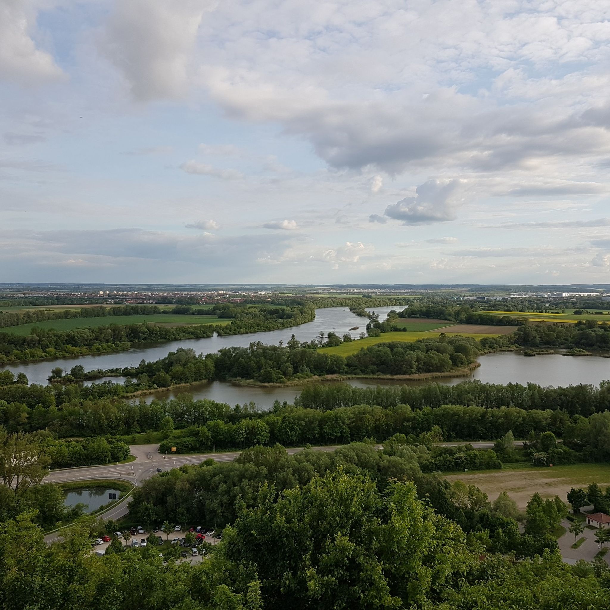
The Walhalla in Donaustauf is one of Bavaria's most impressive monuments. Located high above the Danube and visible from afar. The neoclassical building in the style of a Greek temple was erected in the 19th century by King Ludwig I and is one of Germany's most important national monuments. The climb up the approximately 350 steps is athletic, but absolutely worthwhile. At the top, a spectacular panoramic view of the Danube and the Gäuboden awaits you. Especially at sunset, it's a highlight. Inside, the Hall of Fame impresses with over 100 marble busts of important personalities such as Goethe or Schiller. The complex is spacious, well-maintained, and ideal for photos or a short excursion. Highlight: The combination of monumental architecture and view. Conclusion: An absolute must-visit in the Regensburg region. Tip: Come early in the morning or in the evening. Fewer visitors & best light.
3
0
Imposing neoclassical building with a marble hall featuring plaques and busts of important Germans.
2
0

Super view of Kallmünz and the surrounding area.
0
0

The church surprises with its opulent furnishings.
0
0

Regardless of which side you ascend from... a great view. But Walhalla itself is also worth it. 5 Euro entrance fee is okay 🙃🙏
3
0

Eichhofener Schlossbrauerei - good food and once a year a fantastic atmosphere
0
0
Frequently Asked Questions
What types of landscapes can I expect to see while hiking in Landkreis Regensburg?
Landkreis Regensburg offers a diverse range of landscapes. You'll find the dreamy river valleys of the Schwarze Laber, Naab, and Regen in the Bavarian Jura, featuring rugged cliffs and unique Mediterranean vegetation. To the east, the Vorderer Bayerischer Wald presents green hills and extensive forests. The Danube River also carves picturesque routes, including the impressive Mattinger Hänge, 50-meter-high Jurassic rocks along its embankment.
Are there many hiking trails available in Landkreis Regensburg?
Yes, Landkreis Regensburg boasts an extensive network of hiking trails, totaling approximately 1,300 kilometers. On komoot, you'll find over 3,800 routes, catering to various preferences and fitness levels, from easy walks to more challenging routes.
What are some notable historical or cultural sites I can visit on a hike?
The region is rich in history. You can explore the Regensburg Castle Trails, which lead to numerous medieval castles and ruins like Wolfsegg Castle, Kallmünz Castle Ruins, and Donaustauf Castle Ruins. The majestic Walhalla monument near Donaustauf is also accessible via hikes, such as the Walhalla Memorial – Ruins of Donaustauf Castle loop from Wanderparkplatz. The picturesque artists' village of Kallmünz, with its castle ruins, is another popular destination.
Are there any long-distance hiking trails that pass through Landkreis Regensburg?
Yes, several significant long-distance trails traverse the region. The 237-kilometer Jurasteig Quality Trail, a circular route, showcases the Bavarian Jura's natural beauty. The Danube Panorama Trail offers magnificent views along the river, spanning approximately 220 kilometers. Additionally, sections of Bavaria's longest certified quality hiking trail, the Goldsteig, are accessible from Regensburg, providing varied forest landscapes.
What kind of natural wonders or unique geological features can I discover?
Landkreis Regensburg is home to several intriguing natural features. The Bavarian Jura is known for its impressive rock formations and limestone structures. You can find the 'Wackelstein' (wobbling rock) in the Regental valley and the impressive Pfaffenstein rock formation near Reichenbach monastery. The 'Räuberhöhle' (Robber's Cave), a large Jurassic-era cave, can be explored along the Jurasteig trail. For a unique experience, consider the Höllbach Wooden Bridge – Hölltal Rock Formations loop from Brennberg, which takes you through a rocky forest gorge.
Are there easy hiking options suitable for beginners or families?
Absolutely. Over 2,100 easy routes are available in Landkreis Regensburg. For a shorter, family-friendly option, consider the House without a Roof (Kallmünz) – Kallmünz Castle Ruins loop from Kallmünz, which is an easy 4.9 km path around the historic Kallmünz Castle Ruins.
What do other hikers say about the trails in Landkreis Regensburg?
The hiking trails in Landkreis Regensburg are highly regarded by the komoot community, with an average rating of 4.6 stars from over 14,000 reviews. Hikers often praise the diverse landscapes, from river valleys and limestone cliffs to extensive forest areas, and the well-maintained network of paths suitable for various ability levels.
Are there any specific trails that offer great views of the Jura Rocks?
Yes, the Jura Rocks are a prominent feature in the region. You can experience them on trails like the View from Hohe Wand – View of the Jura Rocks loop from Eilsbrunn, which provides panoramic views from Hohe Wand. Another option is the longer View of the Jura Rocks – Labertal Wall, Schönhofen loop from Burgruine Niederviehhausen, offering extensive views of the Labertal Wall and Jura formations.
Can I find places to eat or stay near the hiking trails?
Yes, the region offers various options for refreshments and accommodation. For example, near Kallmünz, you'll find local eateries. Along many trails, you might encounter traditional Bavarian inns or guesthouses. Komoot also lists several huts and facilities, such as Gasthof Birnthaler or Forsthaus Steinbuckl, which can serve as convenient stops.
What is the best time of year to go hiking in Landkreis Regensburg?
Spring and autumn are particularly pleasant for hiking in Landkreis Regensburg. The weather is milder, and you can enjoy beautiful foliage in autumn or the blooming flora in spring. However, the diverse landscapes offer enjoyable hiking experiences throughout much of the year.
Are there any trails that feature river views or follow river banks?
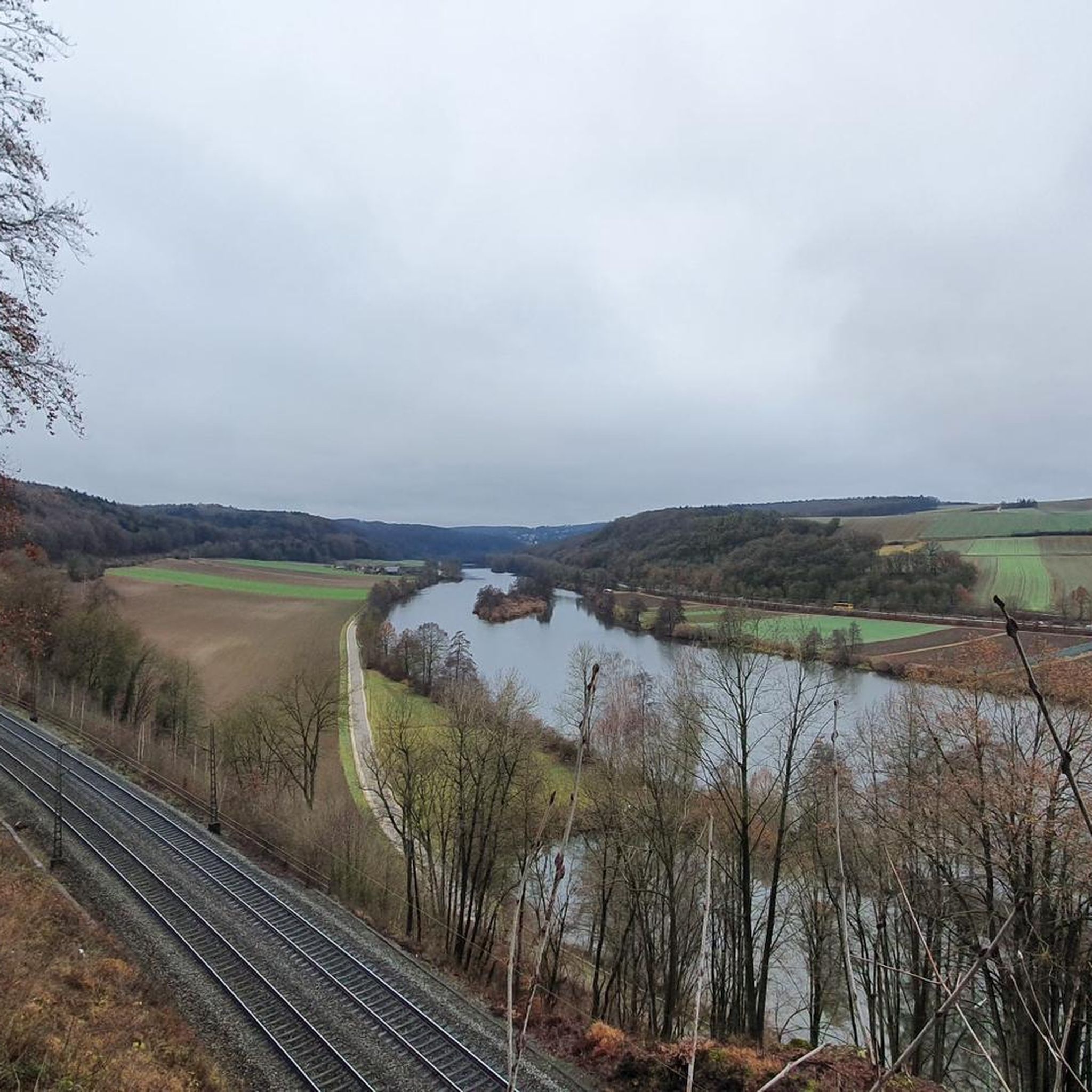
The Danube River flows through the Regensburg district, providing numerous picturesque routes along its banks. Additionally, the Schwarze Laber, Naab, and Regen valleys offer dedicated hiking and cycling trails that follow the rivers. For example, the Rocks in the Stream – Otterbach Stream loop from Donaustauf (VGem) offers views of streams and natural features.
Are there any trails that are particularly challenging?
While there are many easy and moderate trails, Landkreis Regensburg also offers more challenging options. For instance, the View of the Jura Rocks – Labertal Wall, Schönhofen loop from Schönhofen is classified as difficult, featuring significant elevation changes and rugged terrain, perfect for experienced hikers seeking a challenge.
Most popular routes in Landkreis Regensburg
Most popular attractions in Landkreis Regensburg

Get inspired with the komoot mobile app


Didn’t find what you were looking for?
Check out more Hikes throughout Landkreis Regensburg below and find the perfect route in your destination.
Explore more
Browse the best Hikes in other regions.
