The 13 Most Amazing Peaks around Suckley
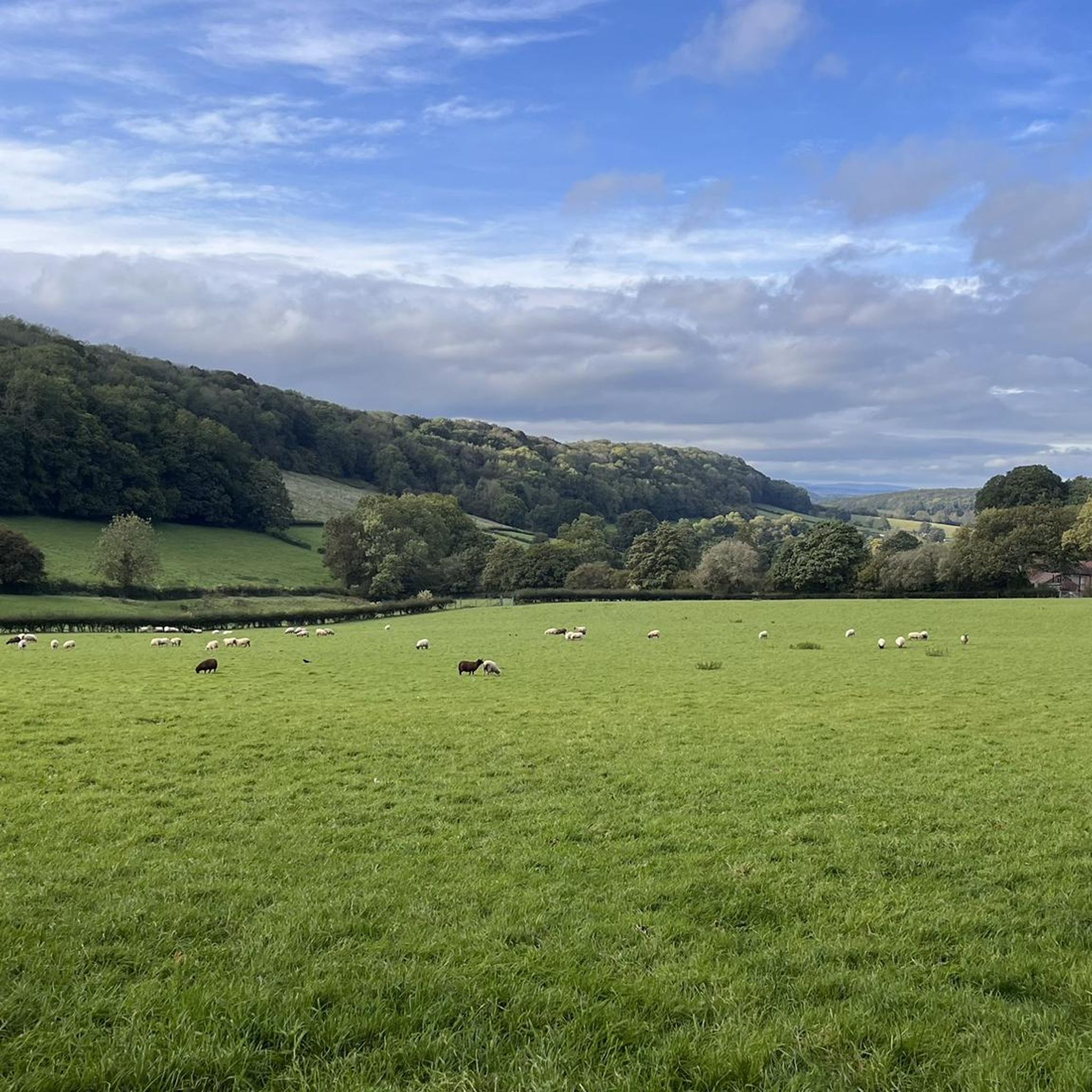
Best mountain peaks around Suckley are characterized by the scenic Suckley Hills, which reach a modest elevation of 170 meters. The eastern side of the parish is part of the Malvern Hills Area of Outstanding Natural Beauty, offering a picturesque landscape. The area is appealing for walks and appreciating natural beauty, featuring wooded ridges, meadows, orchards, and farmlands. On clear days, views extend to the Abberley Hills, Clent Hills, and even the Cotswold Escarpment.
Best mountain peaks around Suckley
- The…
Last updated: October 10, 2026
Worcestershire Beacon Summit and Toposcope
Highlight • Natural Monument
Tip by

Summer Hill
Highlight • Lake
Tip by

Sign up now to discover places like this
Get recommendations on the best single tracks, peaks, & plenty of other exciting outdoor places.
North Hill Summit
Highlight • Natural Monument
Tip by

Jubilee Hill
Highlight • Viewpoint
Tip by
Pinnacle Hill
Highlight • Natural Monument
Tip by

Sign up for free to discover even more peaks around Suckley.
Already have an account?
Start today with a free account
Your next adventure awaits.
Tips from the Community

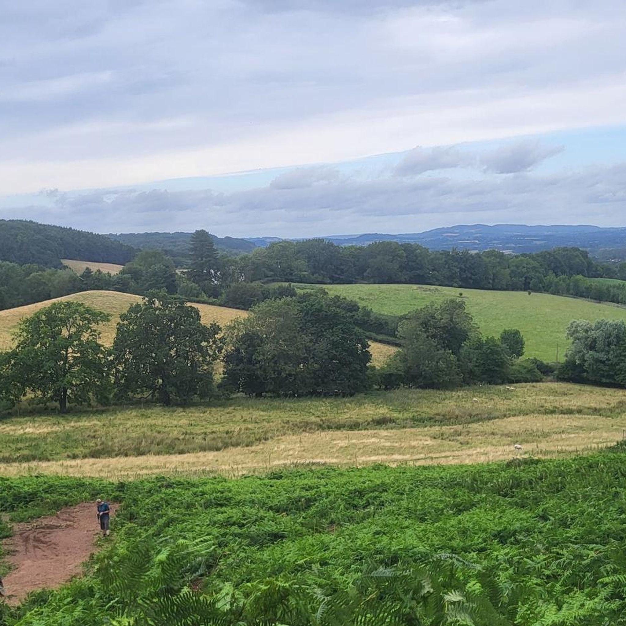
Pinnacle Hill isn't really much of a pinnacle, but it is the highest point between the Wyche and Wynds Point, and as such is a fine viewpoint in both directions.
0
0
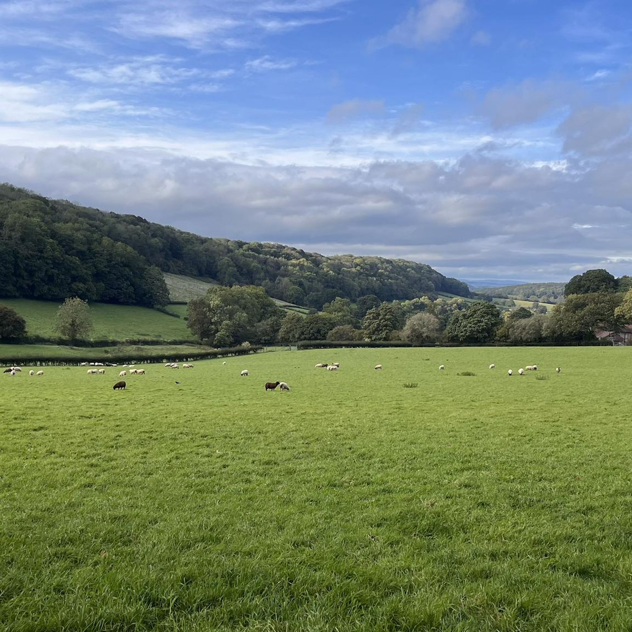
This little top is a fine viewpoint both north to Perseverance Hill and beyond to the Worcester Beacon, and south to Pinnacle Hill.
0
0
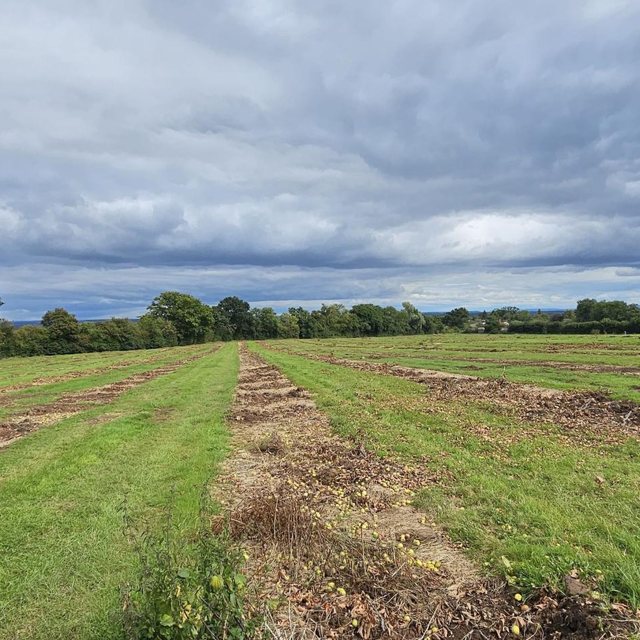
North Hill is a very good viewpoint - but this image was taken on the way up to Table Hill, which is next to North HIll.
0
0
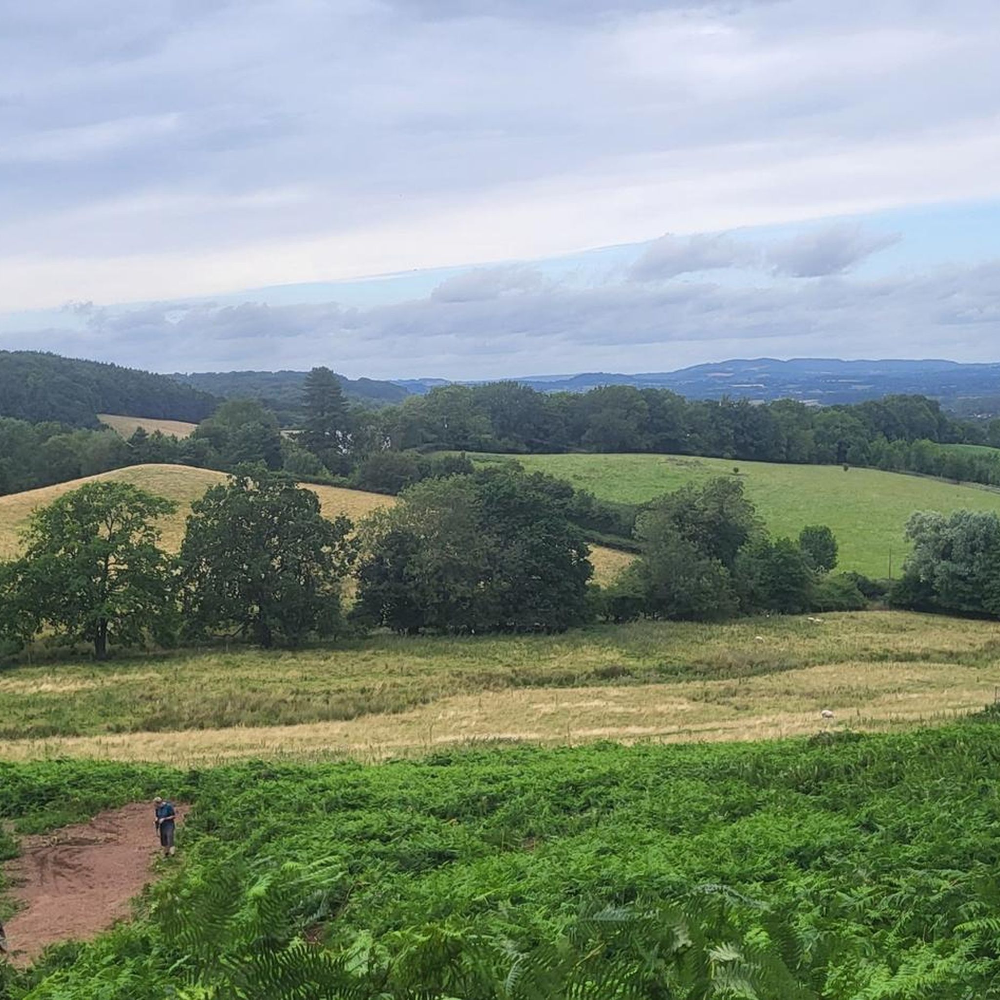
Summer Hill is a bit of a bump in between the Beacon and the Wyche Cutting, however it's steep southern aspect does afford some of the best views along the Malvern Hills ridge, particularly when there is an Inversion happening.
0
0

North Hill is the second highest point of the range of Malvern Hills that runs about 13 kilometres (8.1 mi) north-south along the Herefordshire-Worcestershire border, although North Hill lies entirely within Worcestershire. It has an elevation of 397 metres (1,302 ft), making it the highest point of the Worcestershire Way. The eastern flank of the hill lies directly behind Worcester road in Great Malvern from where its summit is a brisk 15 – 20 minutes steep walk from the town centre via St Ann's road and Happy Valley. A path from the car park in North Malvern follows the lower contour of North Hill to Happy Valley and St. Ann's Well. Although the flint route from North Wales to Wessex lay to the north of Malvern, there is some evidence to suggest that traders passed over the Malvern Hills. Parts of an arrowhead, scraper and flint flakes have been discovered between the North Hill and Table Hill. A 19th-century guide book describes both a collapsed burial mound on North Hill named the Giant's Grave and a tump on Table Hill. These tumuli may have been connected to the Dobunni settlement in Mathon. A track that runs along North Hill was known as the "Pyx Path" and was used by the priest from Worcestershire when bringing Sacrament to the hermits that lived in Malvern in the 11th Century. It was also referred to as the "Pixie Path", as it was believed to be used by fairies. The Lodge spring can be found at the foot of North Hill, off Worcester road. The ornamental fountain has a small spout and basin that is similar in design to those at St Ann's Well.
1
0
The hill lies to the south of the Worcestershire Beacon, which is Worcestershire's (and the Malvern Hills') highest hill, and Summer Hill's summit, though often overlooked given the grandeur of its neighbour, is a most respectable 1,253 feet above sea level. Source: Wikishire
0
0
Jubilee Hill is situated in the range of Malvern Hills that runs about 13 kilometres (8 mi) north-south along the Herefordshire - Worcestershire border. It lies between Perseverance Hill and Pinnacle Hill and has an elevation of 327 metres (1,073 ft). Jubilee Hill was named by the Malvern Hills Conservators in 2002 in honour of the Golden Jubilee of Elizabeth II. The Duke of York unveiled a plaque at the top of the hill, commemorating its new identity, in 2003. The plaque was taken away by someone sometime in March/April 2018. The site was also previously known, and is still today by a group of locals, as 'Dad's Hill', after a well-loved local bicycle shop-owner called Mr Earp who climbed Jubilee Hill frequently. Commemorated there upon his death a local group still climb the hill on the same day every year in his name[citation needed]. Jubilee Drive, the road which runs along the western (Herefordshire) side of the hills, was built and named for the Golden Jubilee of Queen Victoria, in 1887. Source: Wikipedia
0
0
Pinnacle Hill is situated in the range of Malvern Hills in England, running about 13 kilometres (8 mi) north-south along the Herefordshire-Worcestershire border. It lies between Jubilee Hill and Black Hill and has an elevation of 357 metres (1,171 ft). It is the site of two possible Bronze Age round barrows.
0
0
Frequently Asked Questions
What are the most notable mountain peaks around Suckley?
While Suckley itself is known for its modest Suckley Hills, the wider area offers several notable peaks. The most popular is Worcestershire Beacon Summit and Toposcope, the highest point in the county at 425 meters, offering expansive views. Other significant peaks include Summer Hill, which features a viewpoint and an abandoned quarry, and Jubilee Hill, named in 2002 for the Queen's Golden Jubilee, standing at 327 meters.
What kind of walking and hiking opportunities are available in the Suckley Hills?
The Suckley Hills and surrounding areas are ideal for walking and hiking, offering numerous routes that vary from easy to moderate difficulty. You can explore wooded ridges, rich meadows, orchards, and farmlands. Sections of the Worcestershire Way also pass through the area, providing diverse landscapes for exploration.
What natural features and viewpoints can I expect to see?
Visitors can enjoy picturesque scenery with wooded ridges, meadows, orchards, and farmlands. From various vantage points, especially from the Malvern Hills, you can see the Abberley Hills ridge line, the Clent Hills, the Lickey Hills, Bredon Hill, and even the Cotswold Escarpment on clear days. The area also features natural reserves like Knapp and Papermill and Blackhouse Wood.
Are there any historical sites or interesting landmarks in the Suckley Hills?
Yes, the area has some interesting historical elements. Worcestershire Beacon Summit and Toposcope has a history of beacon fires, notably to warn of the Spanish Armada. Jubilee Hill was named in honor of the Queen's Golden Jubilee in 2002. Additionally, the Knapp and Papermill Nature Reserve has remnants of old paper mills and a local legend of an elephant buried within an orchard during World War II.
When is the best time to visit the mountain peaks around Suckley?
The Suckley Hills and surrounding areas are appealing year-round for their natural beauty. Spring and summer offer lush greenery and pleasant walking conditions, while autumn brings vibrant colors to the wooded areas. Clear days in any season provide the best opportunities for expansive views from the various peaks.
Are the mountain peaks and trails around Suckley suitable for families or dogs?
Yes, the area offers routes suitable for various fitness levels, making it generally family-friendly. Many trails are also dog-friendly, allowing you to enjoy the peaceful rural escape with your canine companions. Always ensure dogs are kept under control, especially near livestock.
Is parking available for walks in the Suckley Hills?
Yes, parking is available in several locations. For example, there is parking available at Earnslaw Quarry car park, which is a good starting point for walks up to Summer Hill.
Are permits required for hiking in the Suckley Hills?
No, permits are generally not required for hiking in the Suckley Hills or the Malvern Hills Area of Outstanding Natural Beauty. The trails are open for public access, allowing visitors to freely explore the picturesque landscape.
What kind of nature and wildlife can I expect to see?
The area is rich in nature and wildlife, particularly within the Knapp and Papermill and Blackhouse Wood Nature Reserves. The Leigh Brook Valley is a designated Site of Special Scientific Interest due to its diverse habitats. You can expect to see various local flora and fauna, and the old quarries in the Suckley Hills are rich in Silurian-aged limestone.
What outdoor activities can I do near these mountain peaks?
Beyond hiking and walking, the region around Suckley offers excellent opportunities for cycling. You can find numerous routes for road cycling, mountain biking, and touring. For more details, explore the Road Cycling Routes around Suckley, MTB Trails around Suckley, and Cycling around Suckley guides.
Are there places to eat or drink near the mountain peaks in Suckley?
While Suckley is a peaceful rural village, the wider Malvern Hills area, which includes many of the peaks, offers options. For instance, the Malvern Hills Hotel comes highly recommended for good food by visitors exploring the area around Worcestershire Beacon Summit and Toposcope.
What is special about North Hill Summit?
North Hill Summit is the second highest point of the Malvern Hills at 397 meters, making it the highest point of the Worcestershire Way. It offers glorious views, with panoramas including the Shropshire, Lickey, and Clent Hills, the Black Mountains in Wales, and Worcestershire Beacon. It also has historical significance with evidence of ancient flint trade and a track known as the 'Pyx Path' or 'Pixie Path'.
What do visitors enjoy most about the mountain peaks around Suckley?
Visitors particularly appreciate the tranquil rural escape, the picturesque scenery of wooded ridges, meadows, orchards, and farmlands, and the extensive walking and hiking opportunities. The expansive views from peaks like Worcestershire Beacon are also a major draw, with many enjoying the clear day vistas across multiple counties.
Most popular attractions around Suckley

Get inspired with the komoot mobile app


Explore more
See even more amazing summits around Suckley with these guides:
