The best walks and hikes around Bürdenbach
4.6
(6237)
21,099
hikers
37
hikes
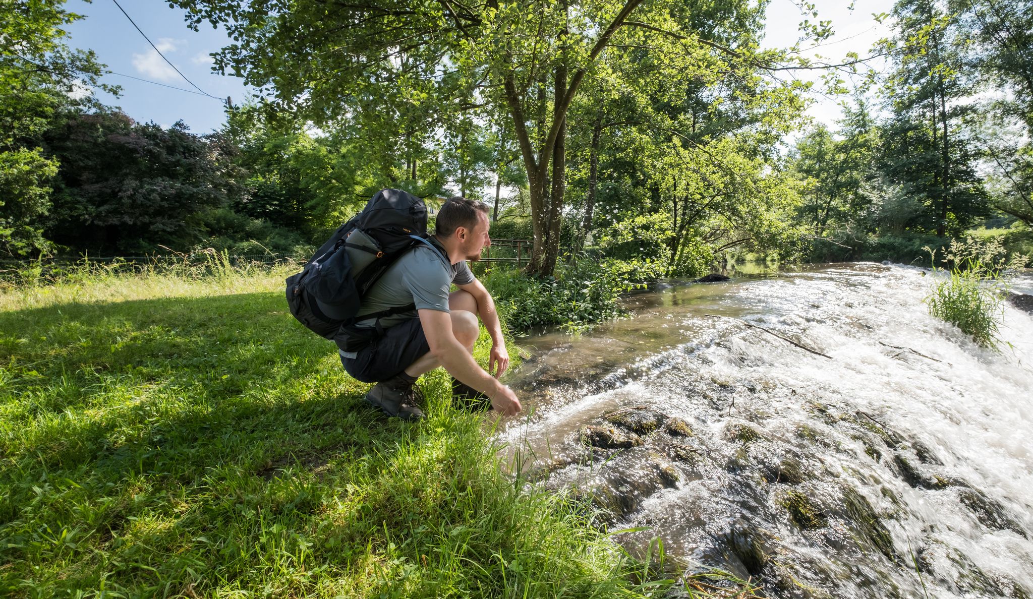
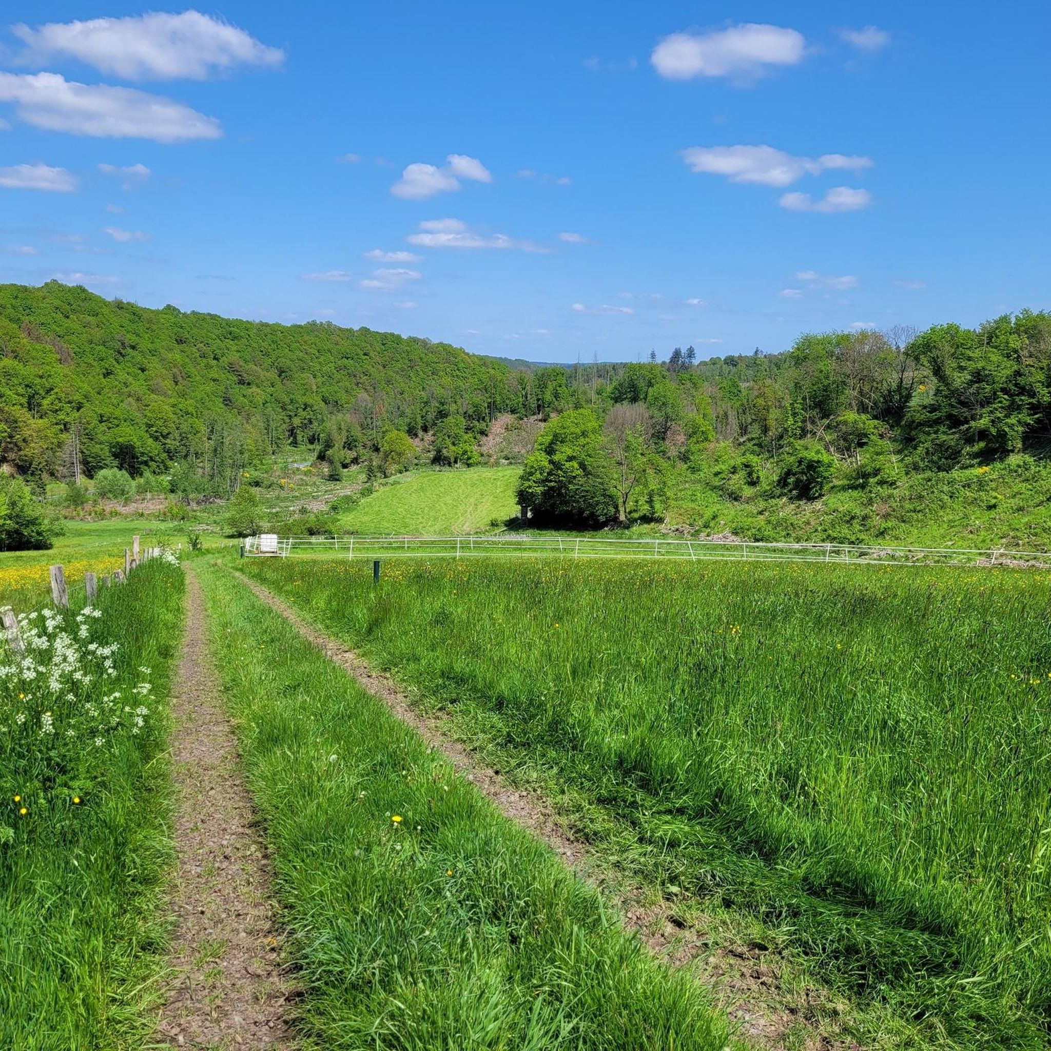
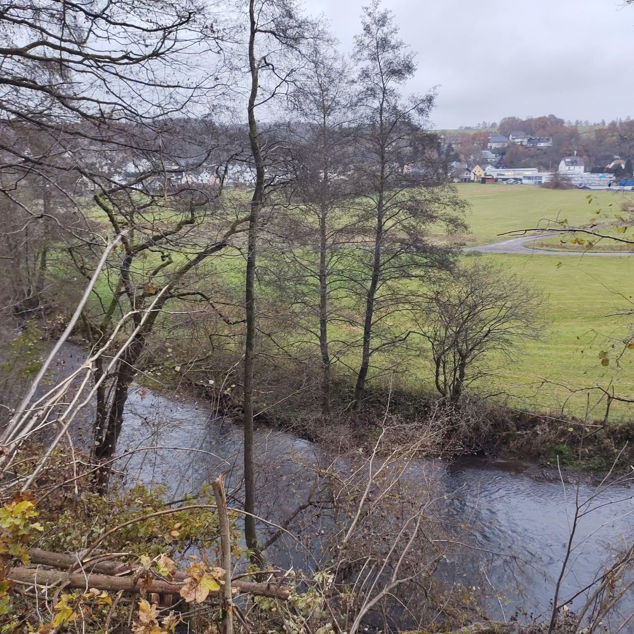
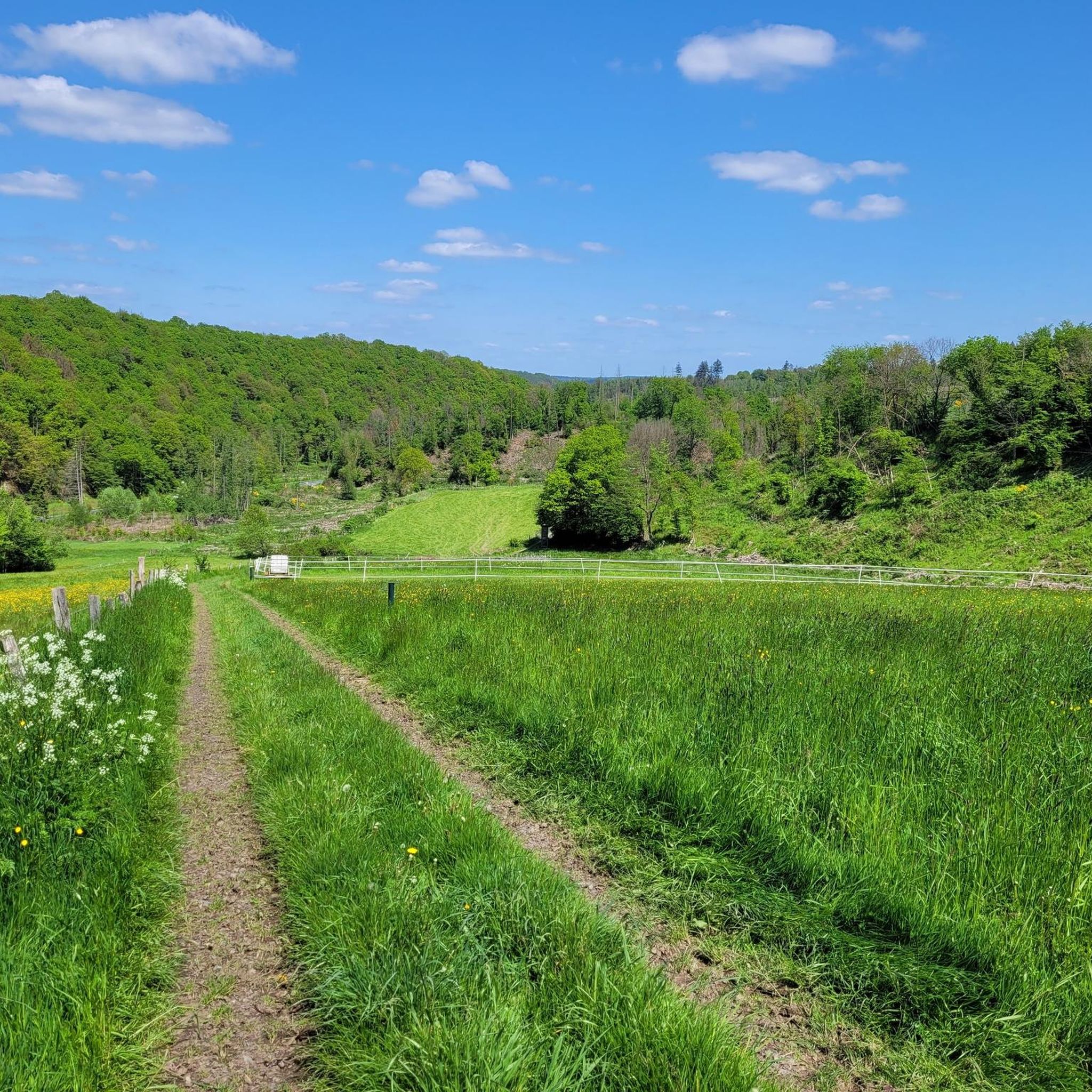
Hiking around Bürdenbach offers diverse terrain within Germany's Westerwald-Sieg region. The landscape features rolling hills, lush forests, and the tranquil Wied Valley, providing varied natural environments for outdoor activities. Hikers can explore routes along the Wied River and through the Grenzbachtal Nature Reserve, which is known for its natural scenery. The elevated Westerwald heights also provide routes with expansive views.
Best hiking trails around Bürdenbach
- The most popular hiking route is Oberlahr Village Square – Sound Cradle loop from Oberlahr…
Last updated: July 18, 2026
4.5
(109)
338
hikers
7.15km
01:58
110m
110m
Easy hike. Great for any fitness level. Easily-accessible paths. Suitable for all skill levels.
4.7
(34)
132
hikers
24.1km
06:46
460m
460m
Hard hike. Very good fitness required. Sure-footedness, sturdy shoes and alpine experience required.

Sign up for free
4.8
(30)
93
hikers
12.6km
03:31
230m
230m
Hard hike. Good fitness required. Sure-footedness, sturdy shoes and alpine experience required.
4.7
(30)
78
hikers
4.94km
01:19
50m
50m
Easy hike. Great for any fitness level. Easily-accessible paths. Suitable for all skill levels.
4.8
(19)
78
hikers
Easy hike. Great for any fitness level. Easily-accessible paths. Suitable for all skill levels.
Get access to more routes and recommendations from other explorers.
Sign up for free
Already have an account?
Our route recommendations are based on thousands of hikes, rides, and runs completed by other people on komoot.
Start today with a free account
Your next adventure awaits.
Login or Signup
Other adventures around Bürdenbach

Tips from the Community

A very nature-oriented route in the beautiful Westerwald region.
0
0

Right next to the hunting lodge at Wied, this small village is somewhat hidden in the industrial area
0
0
The small pizzeria is located directly at the Bürdenbach Bruch bus stop and the sports field
0
0

The Wied Valley and Neustadt (Wied) were once characterized by ore and basalt mining. The 8.7 km long Wäller Tour Basalt and Non-Ferrous Metals, signposted as a GeoRoute of the Westerwald-Lahn-Taunus GEOPARK, takes you on a journey to trace the powerful volcanic forces that once formed the ridge above the Wied Valley and their subsequent commercial exploitation. Further information on the region's geology and mining can be found at: https://wander-heimat.de/basalt-und-buntmetalle/
0
0

Here we go up to the Wied cycle path.
0
0

The old mine and its history are beautifully presented on the board. The photos and descriptions give a picture of the past. I like to see such data and memories.
1
0


Frequently Asked Questions
How many hiking trails are available around Bürdenbach?
Bürdenbach offers a diverse selection of over 35 hiking trails. These routes vary in length and difficulty, providing options for different preferences and skill levels, from easy strolls to more challenging excursions through the region's varied landscape.
What types of terrain and difficulty levels can I expect on hikes near Bürdenbach?
The terrain around Bürdenbach is characterized by rolling hills, lush green forests, and the tranquil Wied Valley. You'll find a good mix of trails: 13 are rated as easy, 14 as moderate, and 9 as difficult. This variety ensures that both casual walkers and experienced hikers can find suitable paths.
Are there any family-friendly hiking options in Bürdenbach?
Yes, Bürdenbach has several family-friendly routes. Shorter, easier trails are ideal for families with children. For example, the Oberlahr Village Square – Sound Cradle loop from Oberlahr is an easy 4.4-mile loop that can be completed in under two hours, offering a pleasant experience for all ages.
What natural features or landmarks can I see while hiking in Bürdenbach?
Hikers can explore the serene Wied Valley, the magnificent Grenzbachtal Nature Reserve, and enjoy expansive views from the elevated Westerwald heights. Notable landmarks include the illuminated Lammerichskaule Mine Tunnel, the historic Alvenslebenstollen, and the picturesque Urbacher Weiher lake.
Are there any circular hiking routes available in Bürdenbach?
Many of the trails around Bürdenbach are designed as circular routes, allowing you to start and end at the same point. A popular moderate option is the Grenzbach – Bridge over the Wied loop from Oberlahr, which covers about 9.1 miles and explores areas around the Grenzbach stream and the Wied River.
What do other hikers enjoy most about hiking in Bürdenbach?
The hiking trails in Bürdenbach are highly rated by the komoot community, with an average score of 4.6 stars from over 1200 reviews. Hikers frequently praise the diverse natural scenery, including the tranquil Wied Valley and dense forests, as well as the well-maintained paths that cater to various skill levels.
When is the best time of year to go hiking in Bürdenbach?
Bürdenbach offers beautiful hiking experiences throughout the year. Spring and summer provide lush green landscapes, while autumn transforms the forests with vibrant colors, creating a particularly atmospheric hiking experience. Even winter can be appealing for those who enjoy crisp air and quiet trails.
Are there any long-distance hiking trails accessible from Bürdenbach?
Yes, Bürdenbach is located close to sections of the renowned WesterwaldSteig, a long-distance hiking trail that spans 16 stages. This trail offers fabulous views, picturesque rock formations, tranquil lakes, and winding paths through hills and charming half-timbered villages.
Can I find trails suitable for dog walking in Bürdenbach?
Many trails in the Bürdenbach region are suitable for dogs, offering plenty of natural spaces for them to explore. It's always recommended to keep dogs on a leash, especially in nature reserves like the Grenzbachtal, where you might encounter Heck cattle, and to follow local regulations regarding pets.
Are there any unique themed paths or special attractions for nature lovers?
Absolutely. For nature lovers and photographers, the 'Schmetterlingspfad' (Butterfly Path) is a must-see, leading through a magical landscape frequented by numerous butterflies. Additionally, the Naturpark Rhein-Westerwald features a 'Klangpfad Swing' with an old mine shaft, offering a unique sensory experience.
What are some of the more challenging hikes around Bürdenbach?
For those seeking a challenge, Bürdenbach offers several difficult routes. The Grenzbach Stream – Bridge over the Wied loop from Oberlahr is a demanding 15.1-mile trail with significant elevation changes, providing a strenuous but rewarding experience.
Are there any historical sites or ruins to explore on hikes?
Yes, history and adventure combine at the Ehrenstein Castle Ruins and Monastery, where visitors can explore the remnants of the castle and even climb a tower to enjoy the views. This site offers a fascinating glimpse into the region's past amidst beautiful natural surroundings.
Most popular routes around Bürdenbach
Most popular attractions around Bürdenbach

Get inspired with the komoot mobile app


Explore more
Browse the best Hikes in other regions.
