Laughton-En-Le-Morthen
Laughton-En-Le-Morthen
The best road cycling routes around Laughton-En-Le-Morthen
4.5
(147)
4,464
riders
342
rides
Road cycling around Laughton-En-Le-Morthen features diverse terrain, offering both challenging ascents and gentler paths. The landscape is shaped by a magnesian limestone escarpment, providing varied topography and scenic views. Riders can expect a mix of well-paved surfaces and significant elevation changes across the area. This region caters to various fitness levels, with routes traversing woodlands and river valleys.
Best road cycling routes around Laughton-En-Le-Morthen
- The most popular road cycling route is Packman Lane – Bolsover Castle loop from Laughton-en-le-Morthen,…
Last updated: November 8, 2026
5.0
(2)
47
riders
46.4km
02:02
250m
250m
Moderate road ride. Good fitness required. Mostly well-paved surfaces and easy to ride.
5.0
(6)
38
riders
32.7km
01:38
240m
240m
Easy road ride. Mostly well-paved surfaces and easy to ride.

38
riders
54.7km
02:40
510m
510m
Moderate road ride. Good fitness required. Mostly well-paved surfaces and easy to ride.
33
riders
78.3km
03:28
470m
470m
Moderate road ride. Good fitness required. Some segments of this route may be unpaved and difficult to ride.
64
riders
43.5km
02:07
390m
390m
Moderate road ride. Good fitness required. Mostly well-paved surfaces and easy to ride.
Get access to more routes and recommendations from other explorers.
Already have an account?
Our route recommendations are based on thousands of hikes, rides, and runs completed by other people on komoot.
Start today with a free account
Your next adventure awaits.
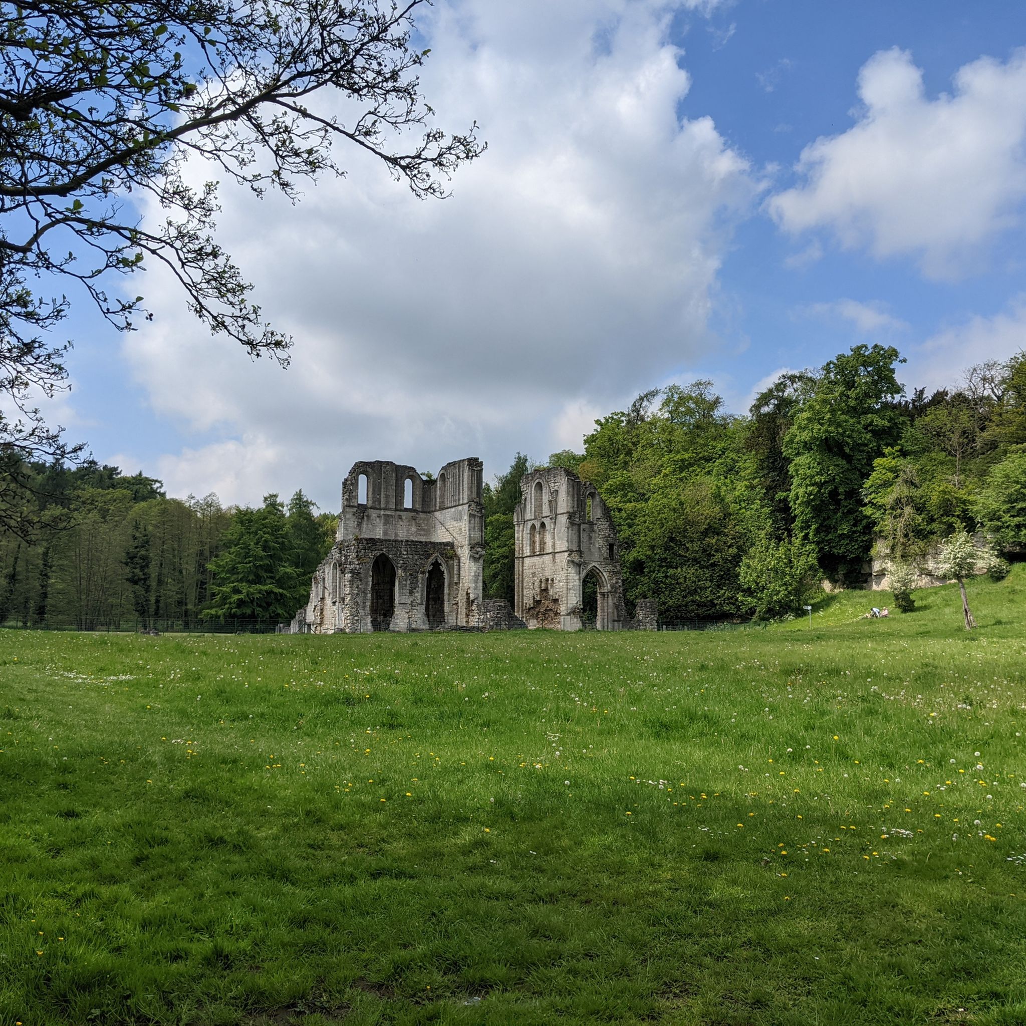
Tips from the Community


June 2025 - they've covered the road with chip and seal which is very loose and has formed mounds in places. It's not too bad going up but wouldn't recommend a descent.
0
0

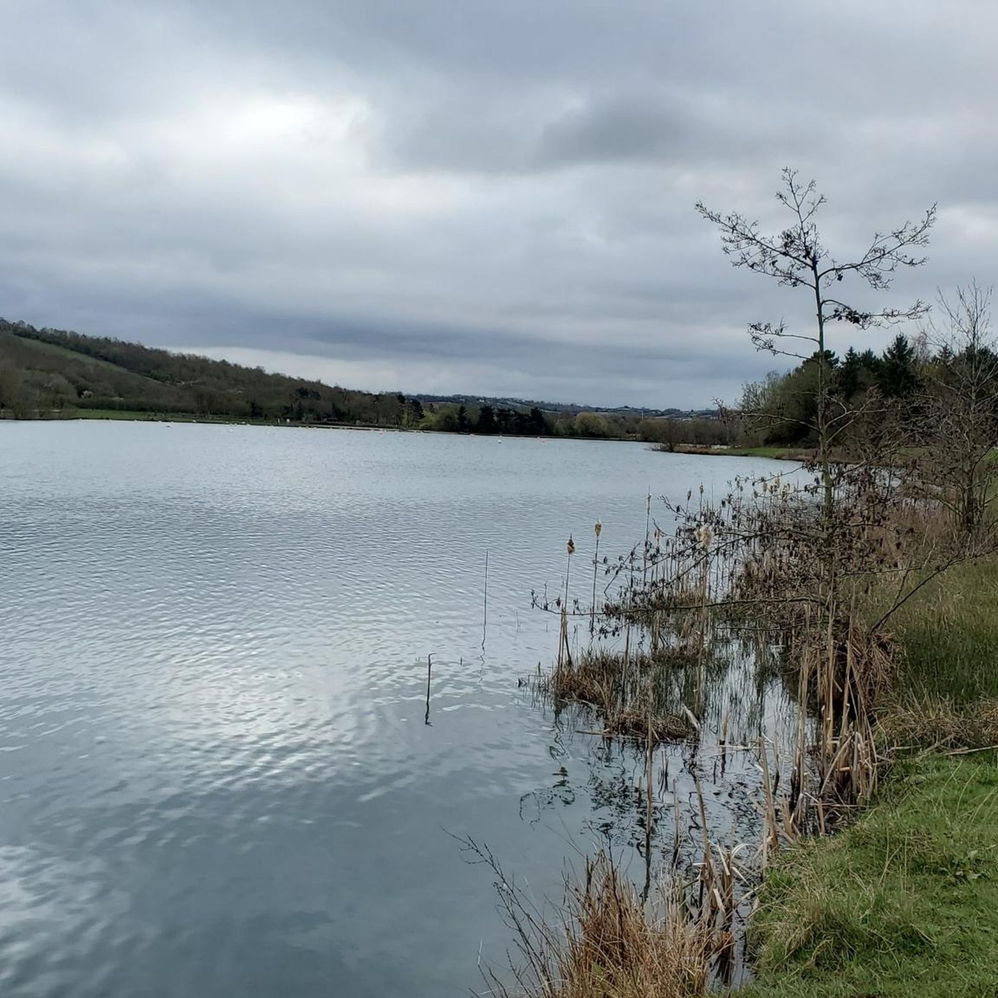
King’s Wood Lane is a peaceful, open road that forms part of the Rotherham Local Cycle Network, connecting King’s Wood with Laughton-en-le-Morthen. Be sure to stop by the café at Leger Lakes, just before reaching Laughton-en-le-Morthen.
0
0

This is a Very quiet lane, stop on the bridge and take in the views, very interesting to see the sheer scale & size of the quarry.
0
0

Britain's greatest male professional cyclist until recently. A tragic story and lovely to see his grave so well kept. See also the memorial stone nearby.
1
0
Frequently Asked Questions
What kind of terrain can I expect when road cycling in Laughton-En-Le-Morthen?
The region around Laughton-En-Le-Morthen offers diverse terrain, from mostly well-paved surfaces to challenging ascents. You'll encounter varied topography due to the magnesian limestone escarpment, with routes traversing woodlands and river valleys. Some segments may require good fitness due to significant elevation changes.
How many road cycling routes are available around Laughton-En-Le-Morthen?
There are over 360 road cycling routes available around Laughton-En-Le-Morthen, catering to various skill levels. This includes 96 easy routes, 232 moderate routes, and 32 difficult routes.
Are there road cycling routes suitable for beginners or those looking for an easier ride?
Yes, Laughton-En-Le-Morthen offers gentler paths and easier routes. For example, within Rother Valley Country Park, there's a 5km flat 'green route' around the main lakes, ideal for leisurely rides. You can find over 90 easy routes in the area.
Are there challenging road cycling routes for experienced riders?
Absolutely. The area features routes with significant elevation changes and segments like the 'Bib Lane Climb'. For a challenging ride, consider the Packman Lane – Bolsover Castle loop from Laughton-en-le-Morthen, which covers 54.7 km with over 500 meters of ascent. There are 32 difficult routes available for those seeking a greater challenge.
What landmarks or points of interest can I see along road cycling routes in Laughton-En-Le-Morthen?
Many routes pass by notable landmarks. You might cycle across the spectacular Conisbrough Viaduct, offering great views of the valley. The historic All Saints Church in Laughton-en-le-Morthen, with its striking 185-foot spire, is also a prominent local landmark visible from many routes. Additionally, the expansive Rother Valley Country Park is a significant hub for outdoor activities and can be incorporated into longer rides.
Are there any scenic viewpoints on the road cycling routes?
Yes, the varied topography, including the magnesian limestone escarpment, provides several scenic vistas. Crossing the Conisbrough Viaduct offers excellent views of the valley. Routes often pass through attractive woodlands and alongside rivers, providing picturesque scenery throughout your ride.
Are there circular road cycling routes available?
Many of the road cycling routes around Laughton-En-Le-Morthen are designed as loops. For instance, the Ulley Reservoir – View of Ughill Wind Turbines loop from Bramley is a popular circular option covering 43.5 km.
What do other road cyclists enjoy the most about road cycling in Laughton-En-Le-Morthen?
The area is highly rated by the komoot community, with an average score of 4.6 stars from over 130 reviews. Reviewers often praise the diverse terrain, the mix of challenging ascents and gentler paths, and the scenic landscapes that make for an engaging cycling experience.
Are there long-distance road cycling routes in the area?
Yes, the region connects to established cycling infrastructure like the Sustrans National Cycle Network Route 6 and the Trans Pennine Trail, opening up possibilities for longer rides. A notable longer route is the Back Lane Railway Crossing – Leger Lakes Fishing Ponds loop from Thurcroft, which spans 79.1 km with over 480 meters of climbing.
What is the best time of year to go road cycling in Laughton-En-Le-Morthen?
While specific seasonal advice isn't provided, the varied terrain and scenic landscapes are enjoyable throughout much of the year. Spring and autumn typically offer pleasant temperatures and vibrant scenery, while summer provides longer daylight hours. Always check local weather conditions before heading out.
Are there any routes that feature the 'Bib Lane Climb'?
Yes, the 'Bib Lane Climb' is a known feature in the area. You can experience it on routes such as the Bib Lane Climb – Leger Lakes Fishing Ponds loop from Thurcroft, a moderate 40.8 km ride with over 300 meters of ascent.
Most popular routes around Laughton-En-Le-Morthen
Most popular attractions around Laughton-En-Le-Morthen

Get inspired with the komoot mobile app


Explore more
Browse the best Road cycling routes in other regions.
