The best walks and hikes around Mawsley
4.5
(383)
2,207
hikers
145
hikes
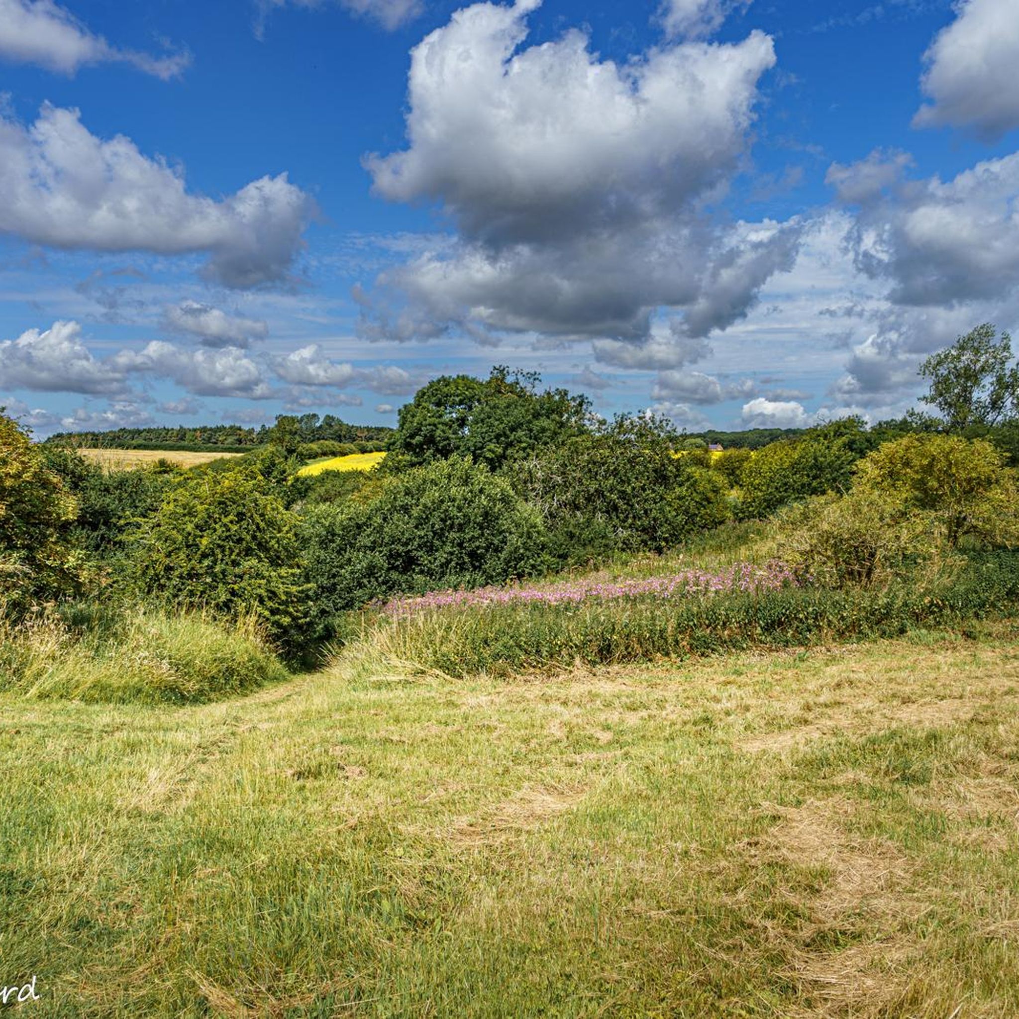
Hikes around Mawsley navigate the rolling countryside of Northamptonshire, connecting the modern village with historic settlements and areas of woodland. The terrain is characterized by a network of footpaths and bridleways across agricultural fields and gentle hills. Routes often incorporate features like Cransley Reservoir and local woodlands such as Ragsdale Spinney.
Best hiking trails around Mawsley
- The most popular hiking route is the Dingly Dell Wooden Bridge loop from Broughton, a 5.9 mile (9.5 km) trail that takes around…
Last updated: May 12, 2026
4.2
(10)
17
hikers
Moderate hike. Good fitness required. Easily-accessible paths. Suitable for all skill levels.
5.0
(4)
27
hikers
8.45km
02:13
60m
60m
Moderate hike. Good fitness required. Easily-accessible paths. Suitable for all skill levels.

Sign up for free
4.7
(3)
11
hikers
Moderate hike. Good fitness required. Easily-accessible paths. Suitable for all skill levels.
4.5
(4)
14
hikers
6.94km
01:48
40m
50m
Easy hike. Great for any fitness level. Easily-accessible paths. Suitable for all skill levels.
5.0
(1)
7
hikers
13.1km
03:23
80m
80m
Moderate hike. Good fitness required. Easily-accessible paths. Suitable for all skill levels.
Get access to more routes and recommendations from other explorers.
Sign up for free
Already have an account?
Our route recommendations are based on thousands of hikes, rides, and runs completed by other people on komoot.
Start today with a free account
Your next adventure awaits.
Login or Signup


Tips from the Community


Good display of Bluebells at the right time of year
0
0
This is one of those awkward spots. You come flying down the hill, round a blind corner see a bridge that you need to bunny-hop onto and then, before you know it, you realise there is a really steep exit and you need to get into Granny-cog really quick. I couldn't process all this fast enough and completely Fived it. Hope you have better luck!
1
0
Frequently Asked Questions
Are there any circular walks that start directly from Mawsley village?
Yes, there are several circular routes beginning in Mawsley. A great option for an easy woodland walk is the Ragsdale Spinney loop from Mawsley. This 4.3-mile (6.9 km) trail is straightforward and suitable for most fitness levels, taking you through local spinneys and open fields.
What are the trails around Mawsley like?
The hiking trails around Mawsley navigate the rolling Northamptonshire countryside, featuring a mix of agricultural fields, gentle but sometimes steep hills, and pockets of ancient woodland. You'll primarily be walking on a network of footpaths and bridleways that connect Mawsley to historic neighboring villages and tranquil reservoirs.
Are there any good walks for families with children?
For a family outing, consider a walk that is relatively short and on easy terrain. The area around the Sailing on Cransley Reservoir loop from Great Cransley offers peaceful paths with rewarding views of the water, which can be engaging for younger walkers. The route is just under 5 miles and is rated as moderate, but the sections by the reservoir are quite gentle.
Can I take my dog on the hiking trails near Mawsley?
Most trails in the area are suitable for dog walking, as they cross open countryside and public footpaths. However, you will likely encounter livestock in the fields, so it's essential to keep your dog on a lead in these areas. The Mawsley Woodland Trail is a popular local spot for a Sunday walk with a dog, but be prepared for mud, especially after rain.
Are there any hikes that include a pub along the way?
Yes, several routes are planned around a pub stop. A well-regarded option is The Three Farthings Pub – Cransley Motte loop from Loddington. This 5.4-mile (8.7 km) moderate walk allows you to enjoy the local scenery and finish with a rewarding break at the pub.
What are some notable viewpoints or scenic spots on the trails?
The rolling hills of the Northamptonshire landscape provide many scenic moments. Hikes around Cransley Reservoir offer peaceful waterside views. For a sense of history, the trail to Cransley Motte provides a look at the remains of a medieval fortification. The paths connecting the villages of Mawsley, Broughton, and Great Cransley are also celebrated for their picturesque countryside scenery.
How many hiking trails are available around Mawsley?
You can explore over 150 hiking routes around Mawsley. The selection ranges from short, easy strolls to more challenging moderate treks, with the majority of trails falling into the easy and moderate categories, ensuring there's a walk for every ability level.
Are there any trails that explore local woodlands?
Yes, the area has several walks that pass through beautiful woodlands. Harlestone Firs Forest Walk is a highly-regarded local favorite with many different trails to follow. For a walk closer to the village, the Old, Mawsley & Great Cransely Bridleway takes you through characteristic local spinneys and coppices.
What do other hikers think of the routes around Mawsley?
The trails around Mawsley are highly rated by the komoot community, with an average score of 4.5 stars. Hikers often praise the peaceful, rolling countryside and the well-marked paths that connect the charming local villages.
Are there any walks that visit historic villages?
Many trails connect Mawsley to historic neighboring villages. The 'Circle Line' is a popular 5.2-mile route linking Mawsley with Broughton and Great Cransley. You can also find walks that venture towards Dingley, a quiet village in the Welland Valley with its historic Dingley Hall. For more information on the village's history, you can visit the Visit Northamptonshire website.
How difficult are the hikes in this area?
The majority of hikes around Mawsley are rated as easy or moderate. The terrain consists of rolling hills which can be steep in places, but there are very few technically difficult sections. This makes the area accessible for most regular walkers, though it's always wise to check the difficulty grade for a specific route before you start.
Is it possible to reach the trailheads using public transport?
Mawsley and the surrounding villages like Broughton and Great Cransley have limited bus services connecting them to larger towns like Kettering. While some routes are accessible, services can be infrequent, especially on weekends. It is recommended to check local bus timetables in advance if you plan to rely on public transport.
Most popular routes around Mawsley
Most popular attractions around Mawsley

Get inspired with the komoot mobile app


Explore more
Browse the best Hikes in other regions.
