The best walks and hikes around Waterside
4.7
(133)
1,335
hikers
65
hikes
Hikes around Waterside explore a landscape of gentle river valleys, woodlands, and low hills. The area is characterized by routes that follow the course of the River Bann and pass through areas like Somerset Forest. With minimal elevation change, the walking trails near Waterside are generally accessible and focus on the region's natural scenery.
Best hiking trails around Waterside
- The most popular hiking route is Mountsandel Fort – Mountsandel Fort loop from Coleraine, a 2.5 mile (4.0 km) trail…
Last updated: August 5, 2026
5.0
(2)
30
hikers
Easy hike. Great for any fitness level. Easily-accessible paths. Suitable for all skill levels.
5.0
(2)
27
hikers
4.00km
01:03
30m
30m
Easy hike. Great for any fitness level. Easily-accessible paths. Suitable for all skill levels.

Sign up for free
3.0
(1)
13
hikers
3.23km
00:52
40m
40m
Easy hike. Great for any fitness level. Easily-accessible paths. Suitable for all skill levels.
13
hikers
Easy hike. Great for any fitness level. Easily-accessible paths. Suitable for all skill levels.
5.0
(2)
7
hikers
4.75km
01:16
50m
50m
Easy hike. Great for any fitness level. Easily-accessible paths. Suitable for all skill levels.
Get access to more routes and recommendations from other explorers.
Sign up for free
Already have an account?
Our route recommendations are based on thousands of hikes, rides, and runs completed by other people on komoot.
Start today with a free account
Your next adventure awaits.
Login or Signup
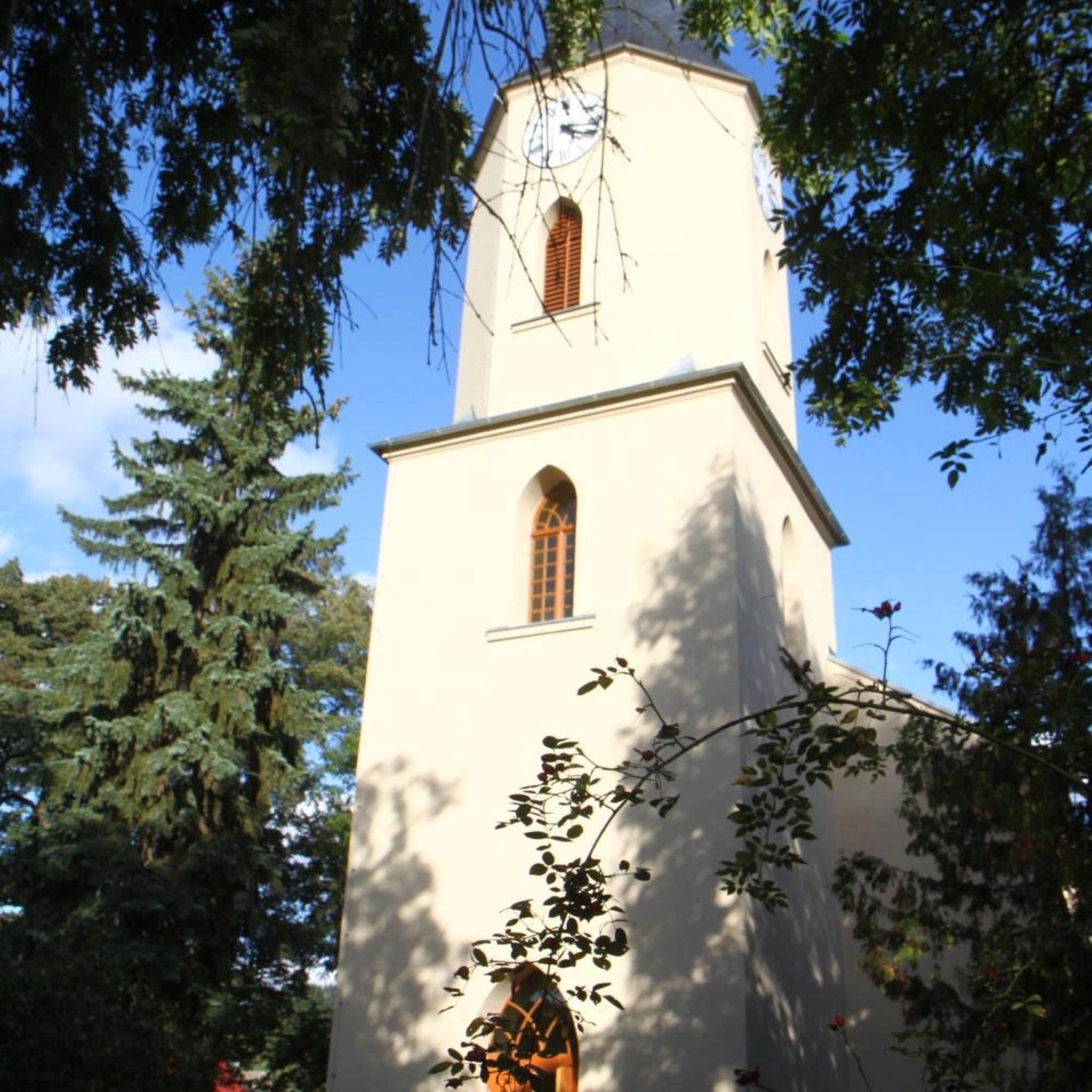
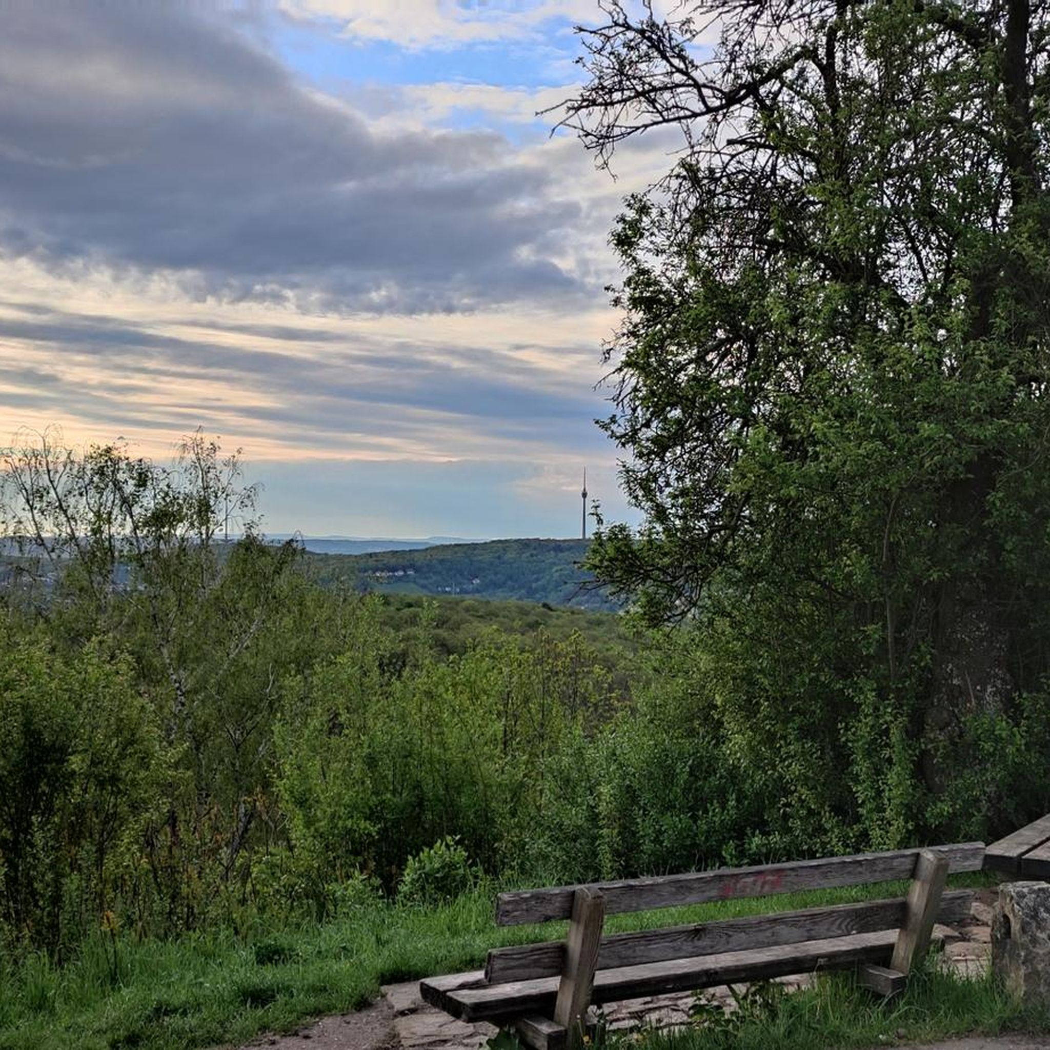

Tips from the Community

Mountsandel Fort is a prehistoric fort dating to the Mesolithic period that was reused in the Irish Middle Ages (10th to 11th centuries). Located in Coleraine, County Derry, the fort consists of a huge grassy mound hollowed out in the middle, overlooking the River Bann. A must-see for lovers of mysterious monuments!
1
0

You can walk along a well defined forest path from the small car park near Coleraine Courthouse and from the Fort, you can see great views of the Salmon Leap (Weir) and Coleraine.
1
0
Frequently Asked Questions
Are there many hiking trails to choose from around Waterside?
Yes, there are over 70 hiking routes to explore in the Waterside area. The trails are predominantly easy, with a smaller selection of moderate and a couple of challenging options, catering to various fitness levels.
What do other hikers think of the trails in Waterside?
The trails around Waterside are highly regarded by the komoot community, with an average rating of 4.7 out of 5 stars. Hikers often praise the area for its gentle riverside paths and peaceful woodland scenery.
Are there any good, short circular walks?
Absolutely. A great option for a shorter loop is the Mountsandel Fort – View of the River Bann loop from Coleraine. It's a pleasant walk of about 3.3 km that takes you through woodland with lovely views of the river.
Can I find any family-friendly hikes near Waterside?
Yes, the region is well-suited for family outings. The terrain is generally flat, making it accessible for all ages. For a straightforward and enjoyable walk, consider the Somerset Forest loop from Coleraine, which is a relatively short and easy path through the woods.
Are the hiking trails suitable for bringing my dog?
Many of the trails in the area are perfect for walking with a dog, especially those through open forests and along riverbanks. The Somerset Forest loop from Macosquin is a popular choice for dog walkers. Always remember to keep your dog under control and respect any local signage regarding leads.
Are there any challenging hikes for more experienced walkers?
While most trails in Waterside are gentle, there are a couple of difficult-rated routes for those seeking a challenge. These longer or more rugged trails offer a different perspective on the landscape, though the area is not known for significant elevation gain.
What are some popular places for waterside hiking in the broader region?
For those looking to explore other renowned waterside trails, there are several highly-regarded options.
The Howth Cliff Walk near Dublin is a local favorite, offering breathtaking coastal views on an easy-to-follow path. Similarly, the Clogherhead Cliff Walk provides stunning sea vistas, with views stretching towards the Mourne Mountains on a clear day.
Are there any trails with historical significance?
Yes, you can combine hiking with a bit of history. The Mountsandel Fort – Mountsandel Fort loop from Coleraine takes you to the site of the historic fort, which is one of the earliest known human settlements in Ireland.
What kind of scenery can I expect on a hike in Waterside?
The landscape is defined by its natural beauty rather than dramatic peaks. Expect to see serene riverside paths along the River Bann, peaceful woodlands like Somerset Forest, and gentle, rolling hills. It's a very green and tranquil environment.
How should I prepare for a day hike in Waterside?
Even for easy trails, it's wise to wear sturdy walking shoes as some paths can be muddy, especially after rain. Bringing a waterproof jacket is recommended due to the changeable weather. Also, carry water and some snacks, particularly on longer routes.
Are there any other easy walks you would recommend?
For another accessible and interesting walk, try the Motte and Bailey loop from Drumadragh. This trail is just under 5 km and explores the gentle countryside, passing by a historical earthwork.
Most popular attractions around Waterside

Get inspired with the komoot mobile app


Explore more
Browse the best Hikes in other regions.
