Top 4 Mountain Passes around Charlesworth
Best mountain passes around Charlesworth are situated near the Peak District, an area known for its landscapes and routes. Charlesworth is associated with Snake Pass, a significant hill pass carrying the A57 road. This region offers elevated routes and peaks that attract visitors for their natural features and recreational opportunities. The area provides a variety of terrain for exploration.
Best mountain passes around Charlesworth
- The most popular mountain passes is Hollins Cross, a mountain pass with panoramic views. It…
Last updated: July 23, 2026
Hollins Cross
Highlight • Mountain Pass
Tip by

Snake Pass Climb from Glossop
Highlight (Segment) • Viewpoint
This ascent goes on and on... Put your rear light on, grit your teeth and go for it. Gets steeper near the top (going from Ladybower to …
Tip by

Sign up now to discover places like this
Get recommendations on the best single tracks, peaks, & plenty of other exciting outdoor places.
Sign up for free
Mam Nick and Edale Valley
Highlight (Segment) • Trail
Tip by

Snake Pass climb from Ladybower Reservoir
Highlight (Segment) • Mountain Pass
Tip by

Pennine Way crossing at Snake Pass
Highlight • Mountain Pass
Tip by

Start today with a free account
Your next adventure awaits.
Login or Signup
Popular around Charlesworth
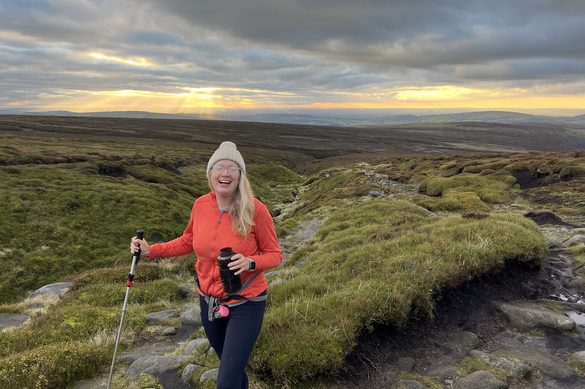
Peak District National Park – A Walk in the Parks
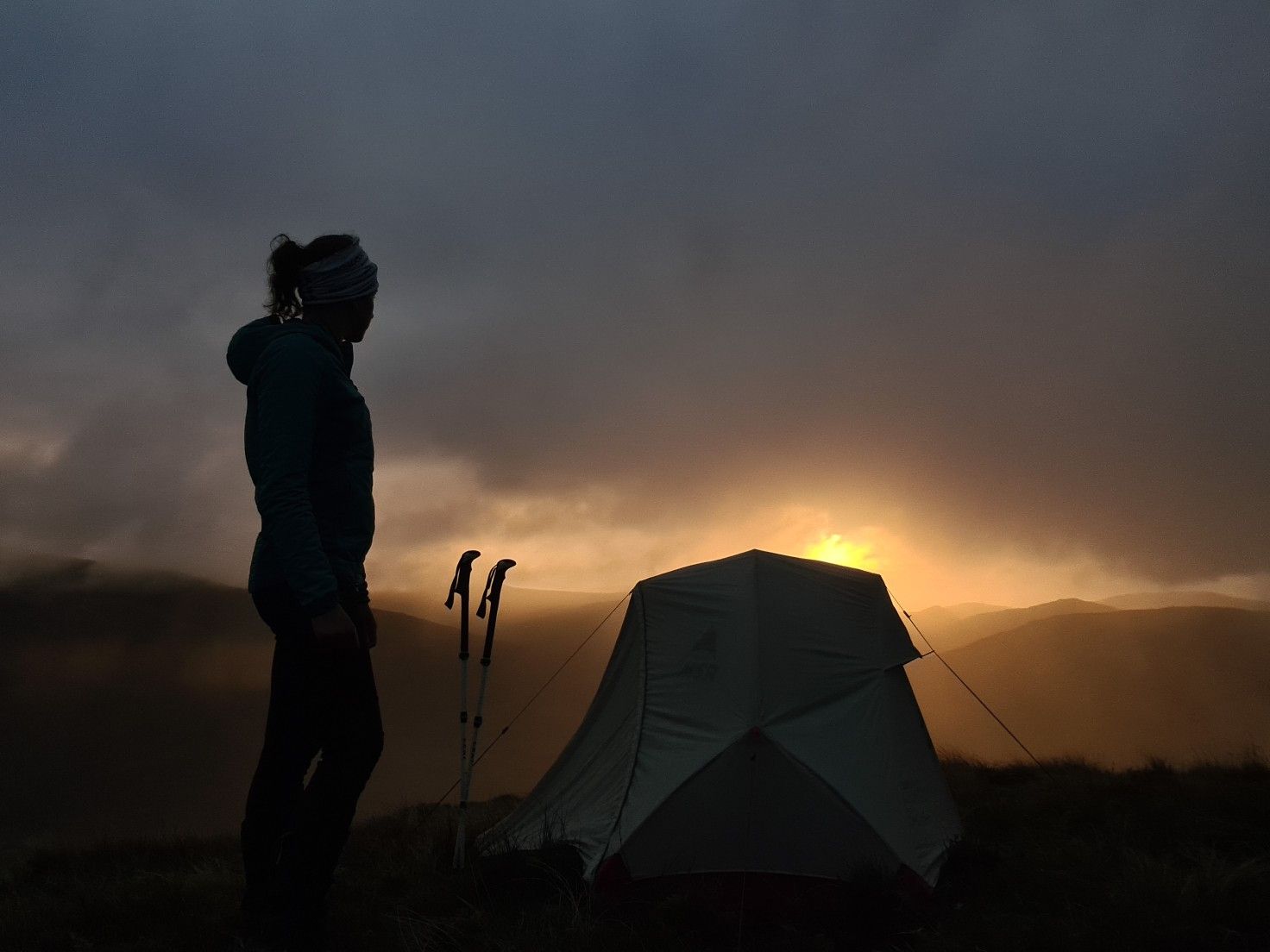
#WalkHome2020 — Sheffield to Cockermouth in 15 days
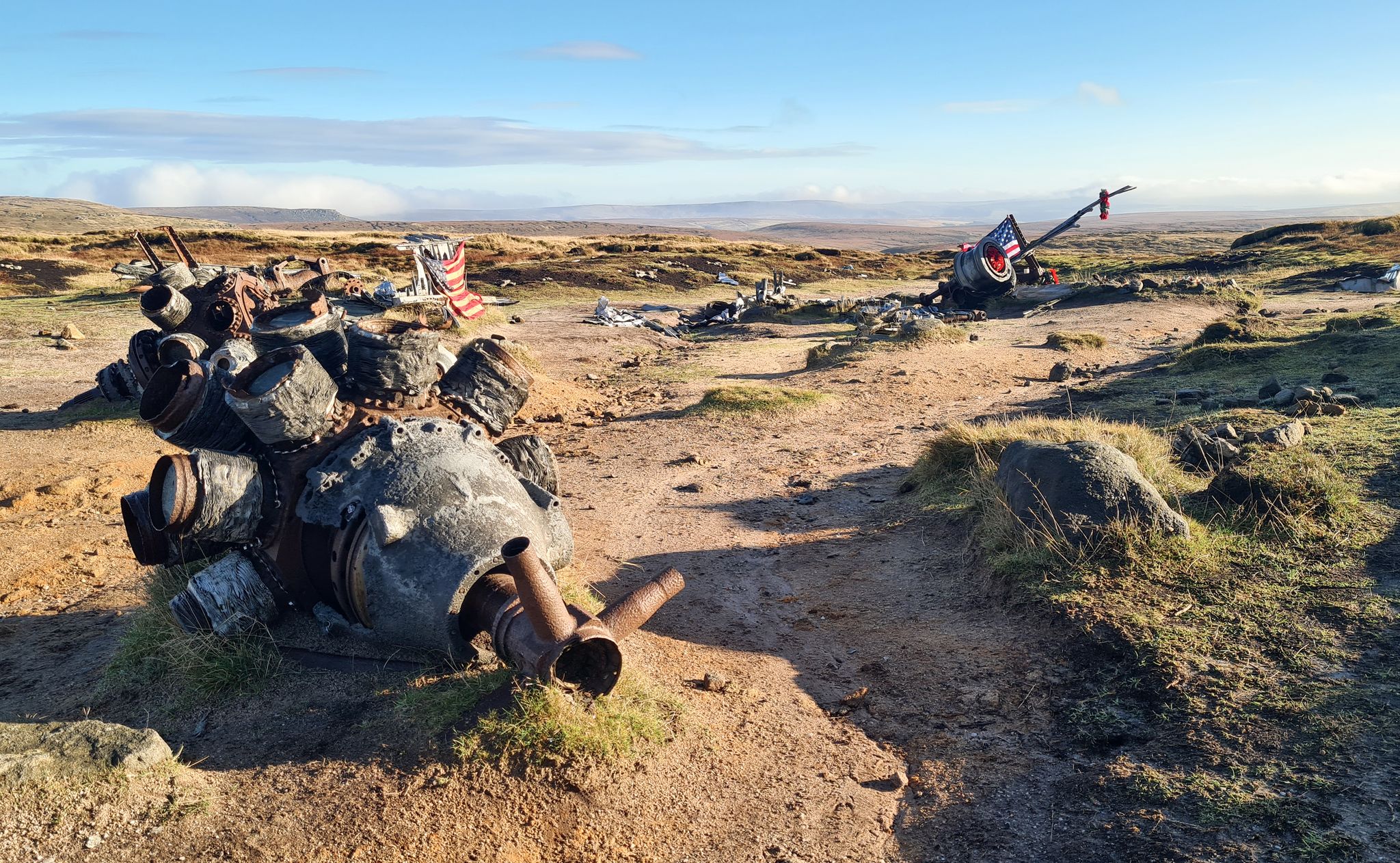
Exploring poignant Peak District plane wreck sites on foot
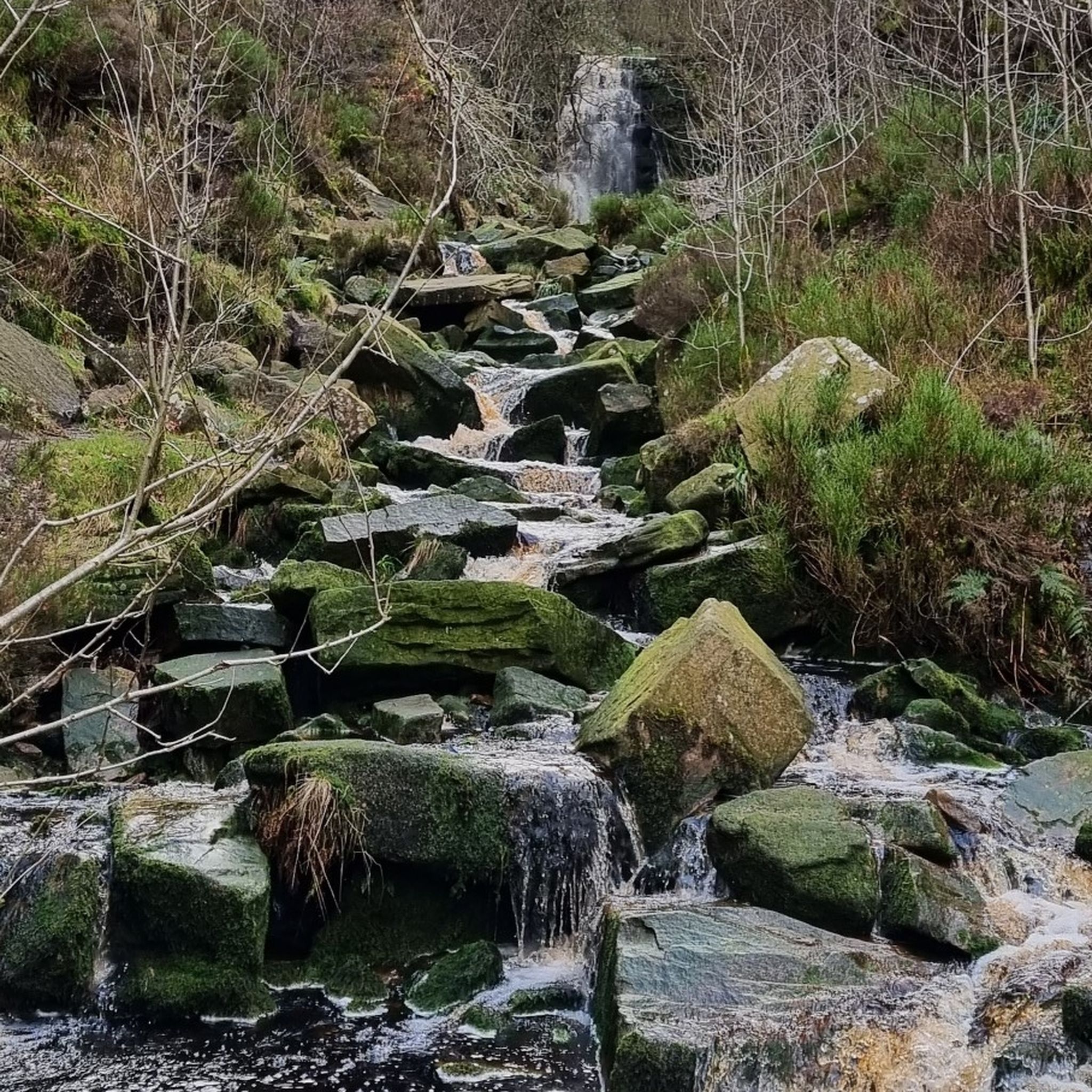
Hiking around Charlesworth
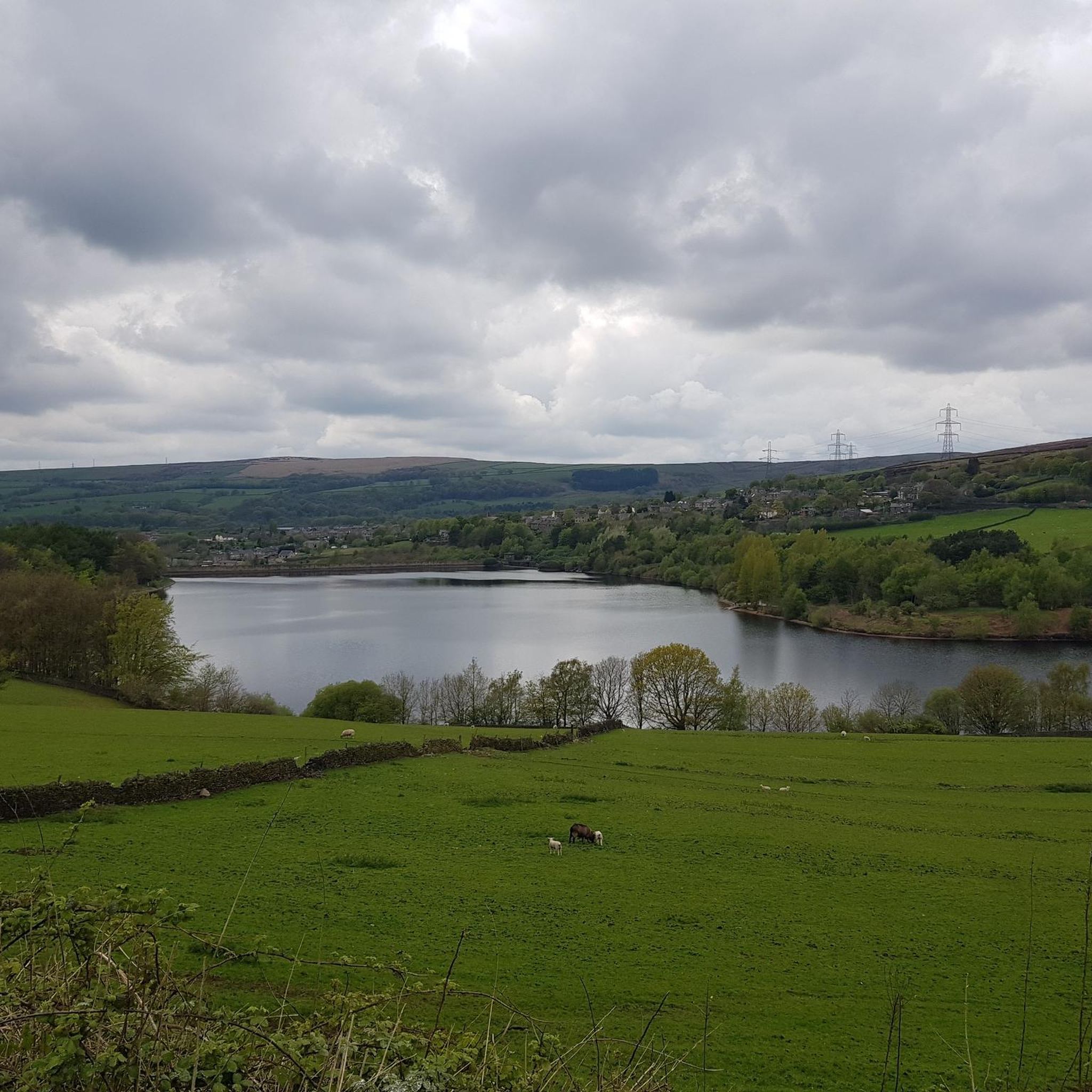
Road Cycling Routes around Charlesworth
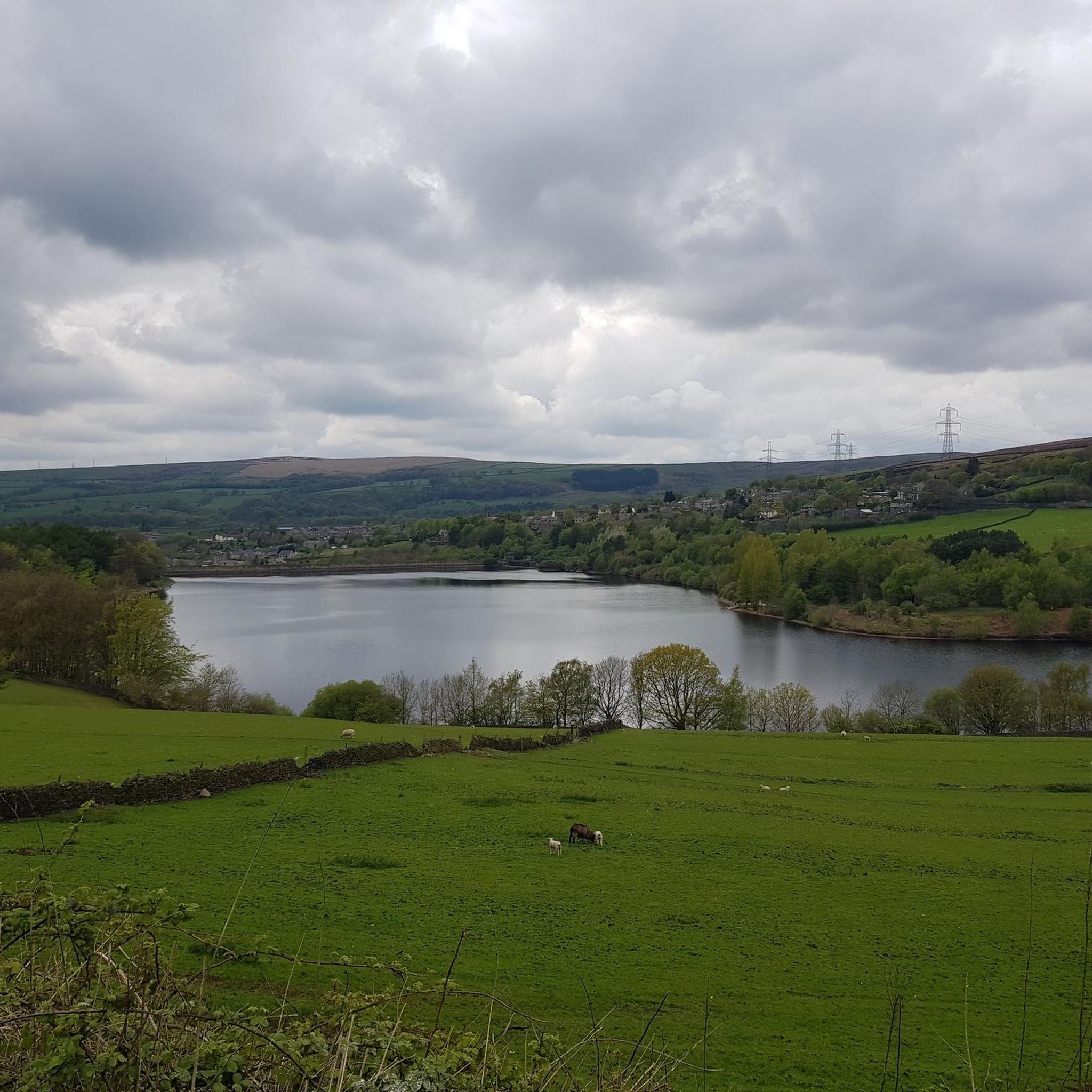
Running Trails around Charlesworth
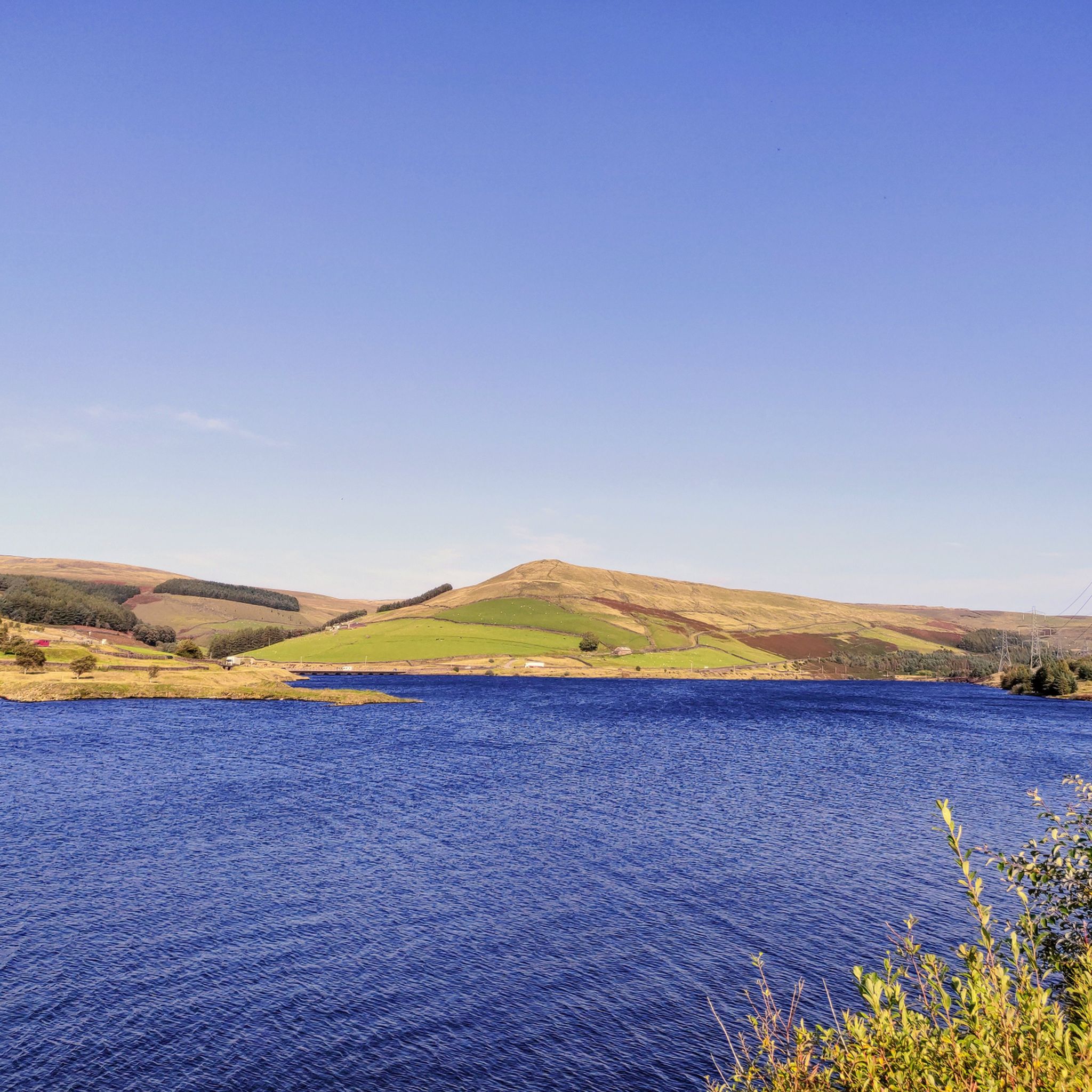
Cycling around Charlesworth
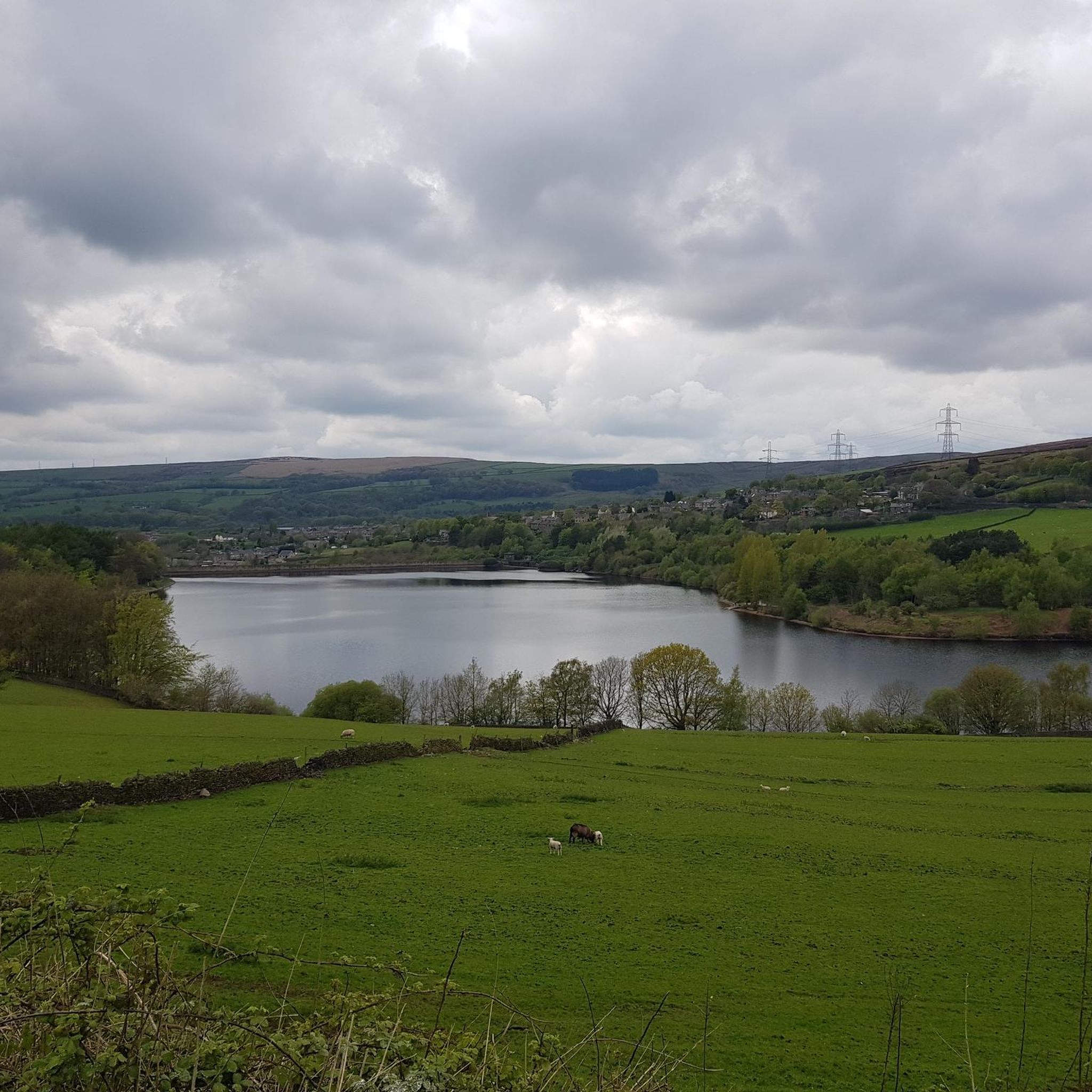
MTB Trails around Charlesworth

Gravel biking around Charlesworth
Mountain Hikes around Charlesworth
Other adventures around Charlesworth


Tips from the Community

Start of the journey up to view the B29 crash site.
0
0

Climbing Snake Pass westwards from Ladybower Reservoir on the A57 is a long, steady ascent through classic Peak District moorland, demanding rhythm and endurance rather than explosive power. Settle in for the extended effort as the average gradient is only around 3-4%, though some sections might steepen temporarily to perhaps 6-8%. Experience the vast, open scenery unfolding around you as you gain height. The defining challenge here is often less the gradient and more the significant exposure to wind sweeping across the high moors, so be prepared to battle the elements on this scenic but often demanding A-road climb towards the summit.
0
0

Not so much hard as gruelling. This alpine-style climb with a long lead-in will force you to find a tempo and stick to it since the gradient deviates little until the top, steepest few hundred metres. The sense of achievement upon reaching the flat summit plateau is rewarded with fantastic views (or dense cloud and a significant drop in temperature due to the exposed position) across some of Derbyshire's finest empty moorland over Bleaklow, back towards the Kinder plateau and ahead down into Glossop. The surface is generally excellent, although traffic can be intimidating, especially in busy summer months.
0
0

Parking bothsides of the road and its free usually not tge case in derbyshire now.
0
0

I’d grab a coffee and flapjack at the edale train station cafe before tackling mam nick … great climb !!
1
1
This would be an absolutely fantastic ride especially riding up from Glossop if it wasn’t for the traffic that speed way to fast. I’ve done this route twice, once when the road was closed, I will not do it again with traffic.
2
0

One of the most famous routes in the Peak District, The Great Ridge has stunning views on a clear day down to Castleton and Edale, and over to the peaks of Grindslow Knoll and Kinder Scout. It gets quieter as you travel further along the ridge to Lose Hill, with many people just nipping up to the Mam Tor summit. It's a lovely place for a sunrise and cloud inversions, popular with photographers, so get there early! Parking is at the National Trust Mam Tor car park, just down the hill from Mam Tor (S33 8WA).
3
0
A bit of a cross roads on the Great Ridge. It's around halfway between Mam Tor and Back Tor and from here you can head down into Edale or Castleton. There is a Monument near the gate.
1
0
Frequently Asked Questions
What kind of scenery can I expect on the mountain passes around Charlesworth?
The mountain passes around Charlesworth, particularly within the Peak District, offer dramatic landscapes and breathtaking views. You can expect to see vast moorland plateaux, such as those between Kinder Scout and Bleaklow, and panoramic vistas across the Pennines. Locations like Hollins Cross provide spectacular views along the Great Ridge, while Pennine Way crossing at Snake Pass offers views between the Kinder plateau and Bleaklow.
Are there any historical points of interest along the mountain passes?
Yes, the region has some historical context. Snake Pass, for instance, takes its name from the historical Snake Inn (originally the Snake Inn) located along the route. Additionally, an ancient road known as Doctor's Gate, which follows the Shelf Brook, is found nearby and is popular with walkers and mountain bikers. While sometimes marked as a Roman road, its origins are debated.
What are some of the most scenic viewpoints on the mountain passes?
Several mountain passes offer stunning viewpoints. Hollins Cross is a col renowned for its spectacular panoramic views along the Great Ridge. Mam Nick and Edale Valley provides breathtaking views, especially during the descent from Mam Tor and along the undulating road through Edale Valley. The Pennine Way crossing at Snake Pass also offers significant views between the Kinder plateau and Bleaklow.
How challenging are the mountain passes around Charlesworth?
The mountain passes in this area offer a range of challenges. Some, like the Snake Pass Climb from Glossop, are described as 'relentless' and 'challenging' with a steady gradient that gets steeper near the top. Similarly, the Snake Pass climb from Ladybower Reservoir is a long, steady ascent through moorland, demanding rhythm and endurance, often with exposure to strong winds. Other routes, while scenic, might be less strenuous, but overall, the region is known for its challenging routes.
What is the best time of year to visit the mountain passes near Charlesworth?
The best time to visit depends on your activity. While the passes are popular year-round, Snake Pass is known for closures in winter due to snow and ice, and is susceptible to subsidence. For hiking and cycling, spring to autumn generally offers more favorable weather conditions, allowing for better enjoyment of the scenic routes and avoiding the challenges of winter weather.
Are there options for parking near the mountain passes?
Yes, parking is available at certain points. For example, at the Pennine Way crossing at Snake Pass, there is parking on both sides of the road, which is usually free. For other passes, it's advisable to check specific trailheads or highlight pages for parking information.
Are there family-friendly walks or activities near the mountain passes?
While some mountain passes can be challenging, the broader Peak District area around Charlesworth offers various outdoor activities suitable for families. For easier walks, you can explore options like the 'Easy hikes around Charlesworth' guide, which includes routes such as the 'Middle Black Clough Waterfall loop' or the 'Valehouse Reservoir loop'. You can find more details on these routes in the Easy hikes around Charlesworth guide.
What outdoor activities can I do near these mountain passes?
The area around Charlesworth's mountain passes is excellent for various outdoor activities. Besides exploring the passes themselves, you can find numerous hiking trails, including easy and challenging options. The region is also popular for cycling, with sections of Snake Pass used for professional races. Mountain biking and gravel biking are also prominent, with dedicated guides like 'MTB Trails around Charlesworth' and 'Gravel biking around Charlesworth' offering routes. Explore these activities further in the Easy hikes around Charlesworth, MTB Trails around Charlesworth, and Gravel biking around Charlesworth guides.
What do visitors enjoy most about the mountain passes around Charlesworth?
Visitors frequently praise the spectacular panoramic views and the dramatic scenery offered by the passes. The sense of achievement after completing challenging climbs, like those on Snake Pass, is also a highlight. Many appreciate the variety of trails for hiking and cycling, and the opportunity to connect with long-distance paths like the Pennine Way. The area's natural beauty and the feeling of being amidst the vast moorlands are consistently mentioned as key attractions.
Are there any less crowded mountain passes or trails around Charlesworth?
While popular spots like Hollins Cross and the Great Ridge can get very busy, especially during peak times or good weather, the broader Peak District offers many trails. To find less crowded options, consider exploring routes slightly off the main tourist paths or visiting during off-peak hours or seasons. The 'Easy hikes around Charlesworth' guide might also lead to some quieter trails.
Can I bring my dog on the hiking trails near the mountain passes?
Generally, the Peak District is very dog-friendly, and many trails around the mountain passes welcome dogs. However, it's crucial to keep dogs on a lead, especially in areas with livestock or ground-nesting birds, and to follow the Countryside Code. Always check specific trail guidelines if available, but most public footpaths and bridleways are accessible for well-behaved, leashed dogs.
What should I know about weather conditions on Snake Pass, especially in winter?
Snake Pass is known for its challenging weather conditions, particularly in winter. It frequently experiences closures due to snow and ice, and is also susceptible to subsidence. The pass climbs to 1,680 feet (510 meters) above sea level, making it exposed to the elements. Always check local weather forecasts and road conditions before planning a trip, especially during colder months, and be prepared for sudden changes in weather.
Most popular routes around Charlesworth
Most popular attractions around Charlesworth

Get inspired with the komoot mobile app


Explore more
See even more epic mountain passes by checking out these guides around Charlesworth:
