The best MTB trails around Membrilla
4.6
(369)
949
riders
237
rides
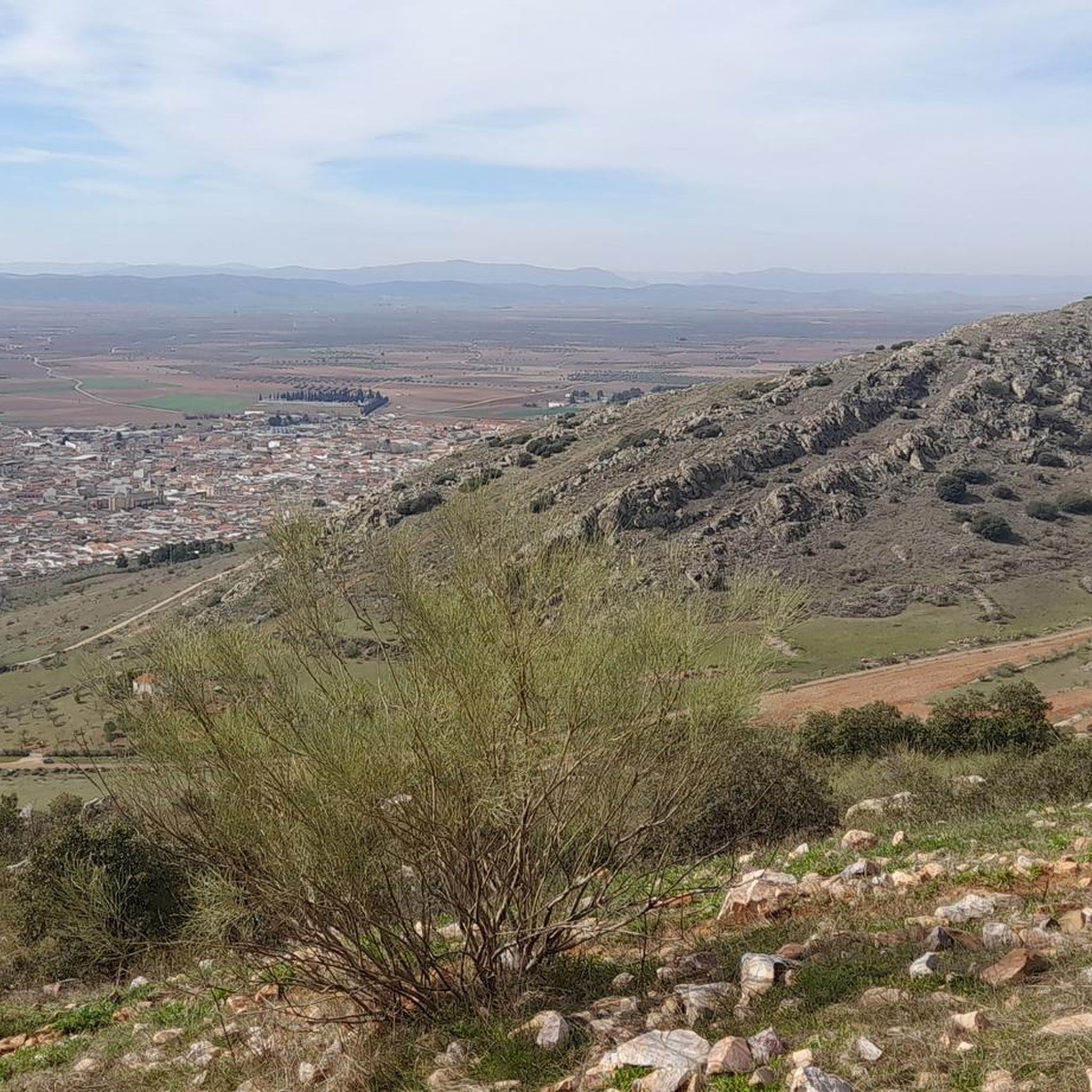
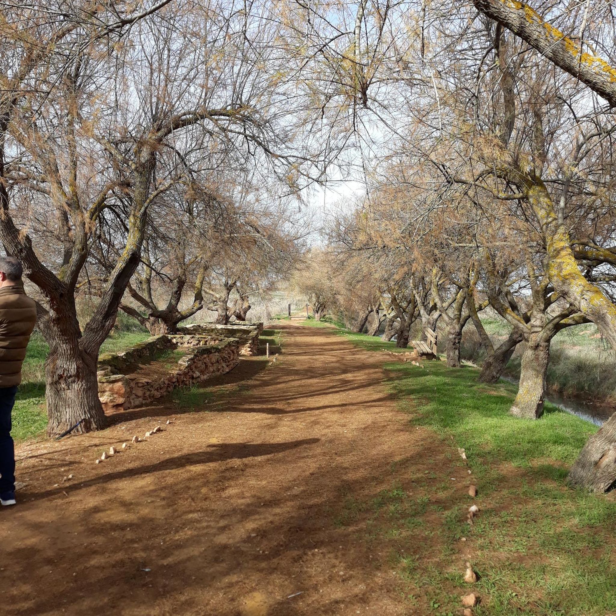
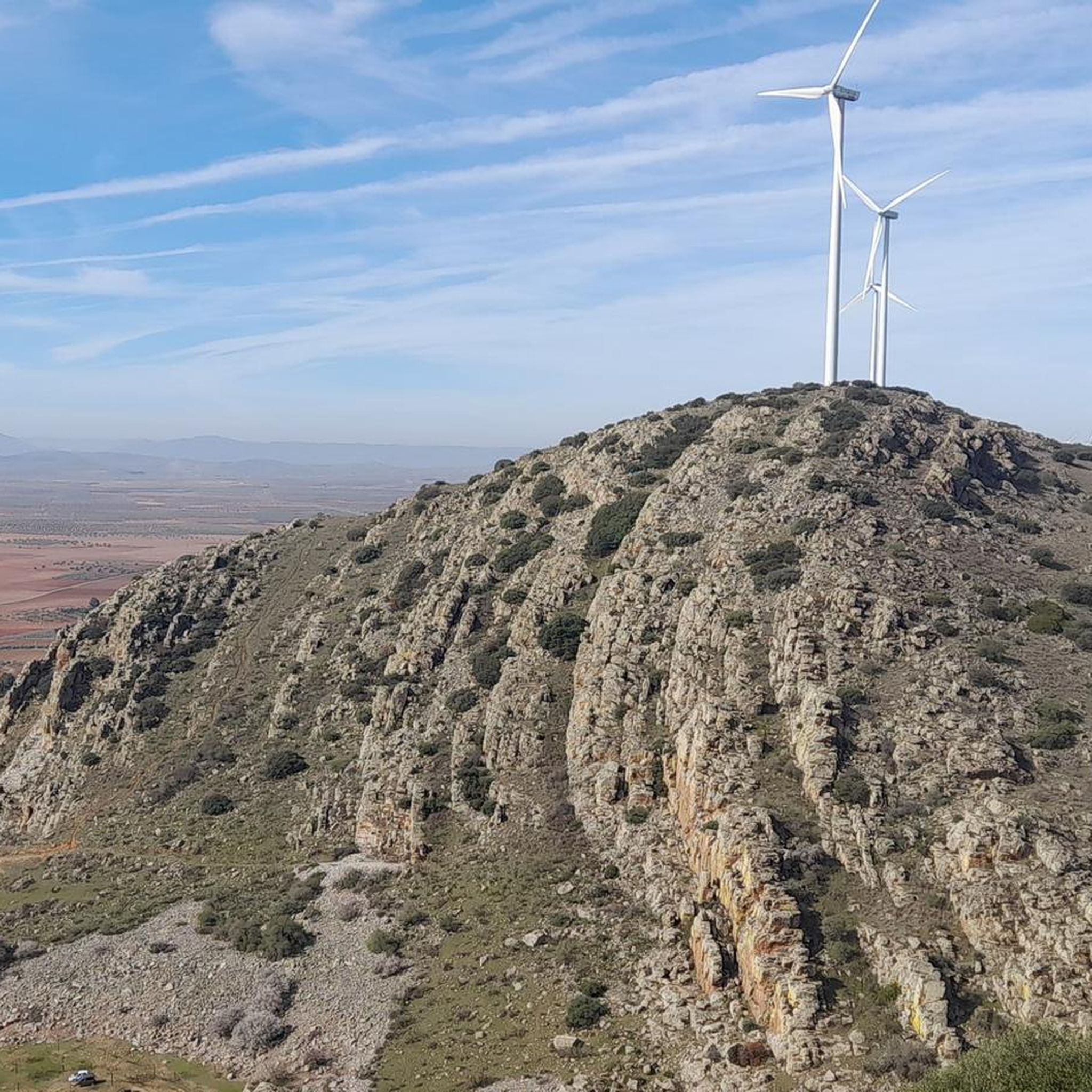
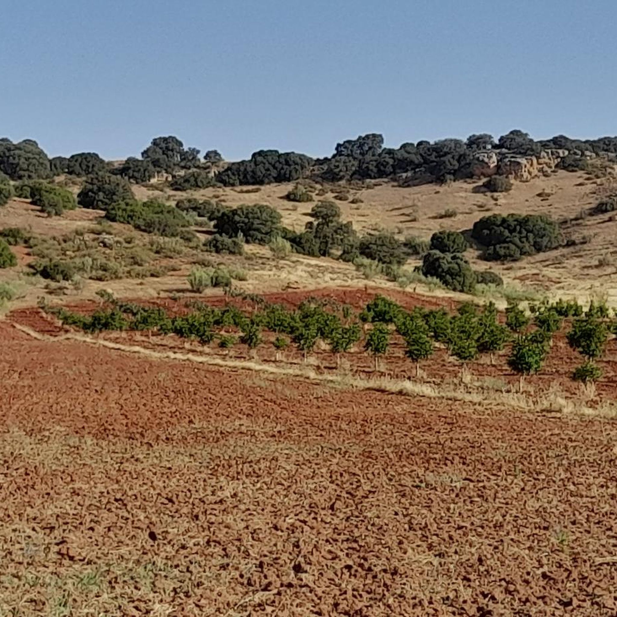
Mountain biking around Membrilla offers routes through varied landscapes in the province of Ciudad Real, Spain. The region features a mix of natural beauty, including the Arroyo del Peral stream with its springs and surrounding fertile orchard lands. Trails often traverse dry crop areas and diverse terrain, characteristic of central Spain. The topography generally presents moderate elevation gains, making it suitable for a range of mountain biking experiences.
Best mountain bike trails around Membrilla
- The most popular mountain bike trail…
Last updated: May 15, 2026
37.6km
02:29
70m
70m
Moderate mountain bike ride. Good fitness required. Suitable for all skill levels.
5.0
(1)
10
riders
Moderate mountain bike ride. Good fitness required. Suitable for all skill levels.

Sign up for free
4.4
(10)
17
riders
67.7km
04:57
240m
240m
Moderate mountain bike ride. Good fitness required. Suitable for all skill levels.
4.1
(15)
13
riders
Easy mountain bike ride. Great for any fitness level. Suitable for all skill levels.
5.0
(3)
11
riders
Moderate mountain bike ride. Good fitness required. Suitable for all skill levels.
Get access to more routes and recommendations from other explorers.
Sign up for free
Already have an account?
Our route recommendations are based on thousands of hikes, rides, and runs completed by other people on komoot.
Start today with a free account
Your next adventure awaits.
Login or Signup

Tips from the Community

What to see in Membrilla Church of Santiago el Mayor A 15th-century Flamboyant Gothic church, meticulously restored. Highlights include its imposing tower, chapels, and decoration with plant and geometric motifs. Hermitage of Cristo del Espino A place of devotion surrounded by nature, ideal for a peaceful stroll and enjoying panoramic views. Historic Center and Plaza del Sitio Cobblestone streets, traditional La Mancha architecture, and a lively square where you can experience local life. Ethnographic Museum and Municipal Art Gallery Perfect for learning about local history and culture.
2
0
The Valdepeñas Ornamental Fountain is located in the Plaza de España, the historic heart of the town. It is one of the city's most emblematic features and stands out for its design and symbolism: Design: A very beautiful ornamental fountain, considered a visual symbol of the square. Setting: Surrounded by historic buildings such as the Church of the Assumption and the neoclassical Town Hall. The square is characterized by traditional white and indigo arcades. In 2017, the flowerbeds were redesigned, and a permeable fixed aggregate was installed to preserve the design and reduce maintenance.
10
0
The intersection of the A-43 and the Camino de Manzanares in Daimiel is located in a rural area southeast of the town, very close to the Azuer River and the surroundings of Motilla del Azuer.
19
0
The area known as Argamasilla (not to be confused with Argamasilla de Calatrava) is located southeast of the town center, near the Camino del Carrerón, the Azuer River, and the Motilla del Azuer. This level crossing crosses the Ciudad Real–Manzanares railway line and connects rural roads running south to north, particularly the Camino del Carrerón. It is used by agricultural vehicles and hikers accessing the Motilla del Azuer or nearby farms.
19
0
The Camino del Carrerón crosses the Ciudad Real–Manzanares railway line. This crossing connects the agricultural areas south of the Azuer River with those north of it, allowing the passage of agricultural vehicles and access to the Motilla del Azuer.
19
0
The intersection of the Camino del Carrerón and the road to Manzanares is located in the municipality of Daimiel, in the province of Ciudad Real, Castilla-La Mancha. This point is located in a rural area southeast of the urban center of Daimiel, very close to the Azuer River and the Motilla del Azuer.
19
0
In the La Vega area, in the municipality of Daimiel, there is a rural road that runs alongside the Azuer River, very close to Motilla del Azuer and accessible from the A-43.
20
0
La Motilla del Azuer is located on the La Mancha plain, in the municipality of Daimiel (Ciudad Real), and is very close to the Azuer River, which is no coincidence: its location was strategically chosen to guarantee access to groundwater during the Bronze Age.
18
0
Frequently Asked Questions
How many mountain bike trails are available around Membrilla?
There are over 240 mountain bike trails around Membrilla, offering a wide range of options for different skill levels. You'll find routes through varied landscapes, including fertile orchard lands and dry crop fields.
What types of terrain can I expect on mountain bike trails in Membrilla?
The terrain around Membrilla is diverse, featuring routes through fertile orchard lands, dry crop fields, and natural areas like the Arroyo del Peral. You can expect a mix of surfaces characteristic of central Spain, with generally moderate elevation gains.
Are there mountain bike trails suitable for beginners in Membrilla?
Yes, Membrilla offers 32 easy mountain bike trails, perfect for beginners or those looking for a relaxed ride. These routes typically have minimal elevation gain and cover less challenging terrain.
Can I find challenging mountain bike routes in Membrilla?
For experienced riders seeking a challenge, Membrilla has 22 difficult mountain bike trails. These routes often feature more significant elevation changes and potentially more technical sections, providing a rewarding experience.
What are some notable natural features or attractions to see while mountain biking in Membrilla?
While mountain biking, you can explore natural features like the Arroyo del Peral, known for its springs and surrounding fertile lands. Some routes also pass by historical points of interest such as the El Rezuelo Mill. You might also encounter charming settlements like Valdepeñas.
Are there any circular mountain bike routes around Membrilla?
Yes, many routes around Membrilla are circular. For example, the Motilla del Azuer – circular desde Manzanares is a popular moderate loop. Another option is the Arroyo del Peral – Parish of Saint Mary Magdalene loop from Baños del Peral, which takes you through the natural area of Arroyo del Peral.
What do other mountain bikers say about the trails in Membrilla?
The mountain bike trails in Membrilla are highly regarded by the komoot community, with an average rating of 4.6 stars from over 360 reviews. Riders often praise the varied terrain and the well-maintained network of routes that cater to different skill levels.
Are there any routes that pass by historical mills?
Yes, the El Rezuelo Mill – Membrilla loop from Manzanares is a moderate 55.9 km route that offers views of the countryside and passes directly by the historic El Rezuelo Mill, providing a scenic and cultural experience.
What is the typical elevation gain on mountain bike trails in Membrilla?
The mountain bike trails around Membrilla generally feature moderate elevation gains. For instance, the Level crossing S/B EL Carrerón – Camino de Griñón loop from Manzanares has an elevation gain of about 138 meters over 57.8 km, making most routes accessible while still offering some challenge.
Is it possible to combine mountain biking with exploring nearby towns or landmarks?
Absolutely. Many routes start or pass near towns and landmarks. For example, the El Rezuelo Mill – Valdepeñas loop from Manzanares is a longer route that can lead you towards the settlement of Valdepeñas, allowing you to explore its attractions like Plaza España or Plaza de San Carlos.
What is the best time of year for mountain biking in Membrilla?
Spain, including the region around Membrilla, is known for allowing cycling almost year-round. However, for mountain biking, spring and autumn generally offer the most pleasant temperatures and conditions, avoiding the intense heat of summer and potential colder, wetter periods in winter.
Most popular routes around Membrilla
Most popular attractions around Membrilla

Get inspired with the komoot mobile app


Explore more
Browse the best MTB trails in other regions.
