The best running trails around Castellcir
4.2
(78)
2,554
runners
237
runs
Jogging around Castellcir offers a diverse landscape for outdoor activity, characterized by crest lines, hillocks, torrents, woods, and crop lands. The region features a varied elevation, ranging from 466 meters to 1,014 meters, providing a mix of inclines and descents. Natural features include the headwaters of the Tenes and Fontscalents rivers, often creating shaded routes, and the forested Marfà Valley with pine and oak groves. This topography supports a range of running experiences, from steady climbs to rolling downhill sections.
…Last updated: July 26, 2026
10
runners
9.06km
01:08
250m
250m
Moderate run. Good fitness required. Mostly paved surfaces. Suitable for all skill levels.
8
runners
9.91km
01:06
150m
150m
Moderate run. Good fitness required. Mostly paved surfaces. Suitable for all skill levels.

Sign up for free
9
runners
8.40km
01:00
160m
160m
Moderate run. Good fitness required. Mostly paved surfaces. Suitable for all skill levels.
9
runners
11.1km
01:29
340m
340m
Hard run. Very good fitness required. Mostly paved surfaces. Suitable for all skill levels.
7
runners
25.4km
02:57
370m
370m
Hard run. Very good fitness required. Mostly paved surfaces. Suitable for all skill levels.
Get access to more routes and recommendations from other explorers.
Sign up for free
Already have an account?
Our route recommendations are based on thousands of hikes, rides, and runs completed by other people on komoot.
Start today with a free account
Your next adventure awaits.
Login or Signup
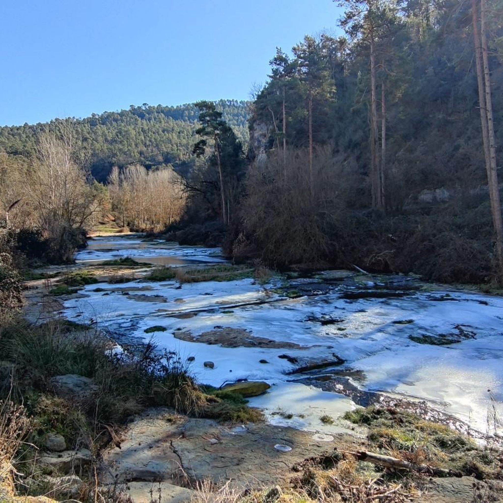
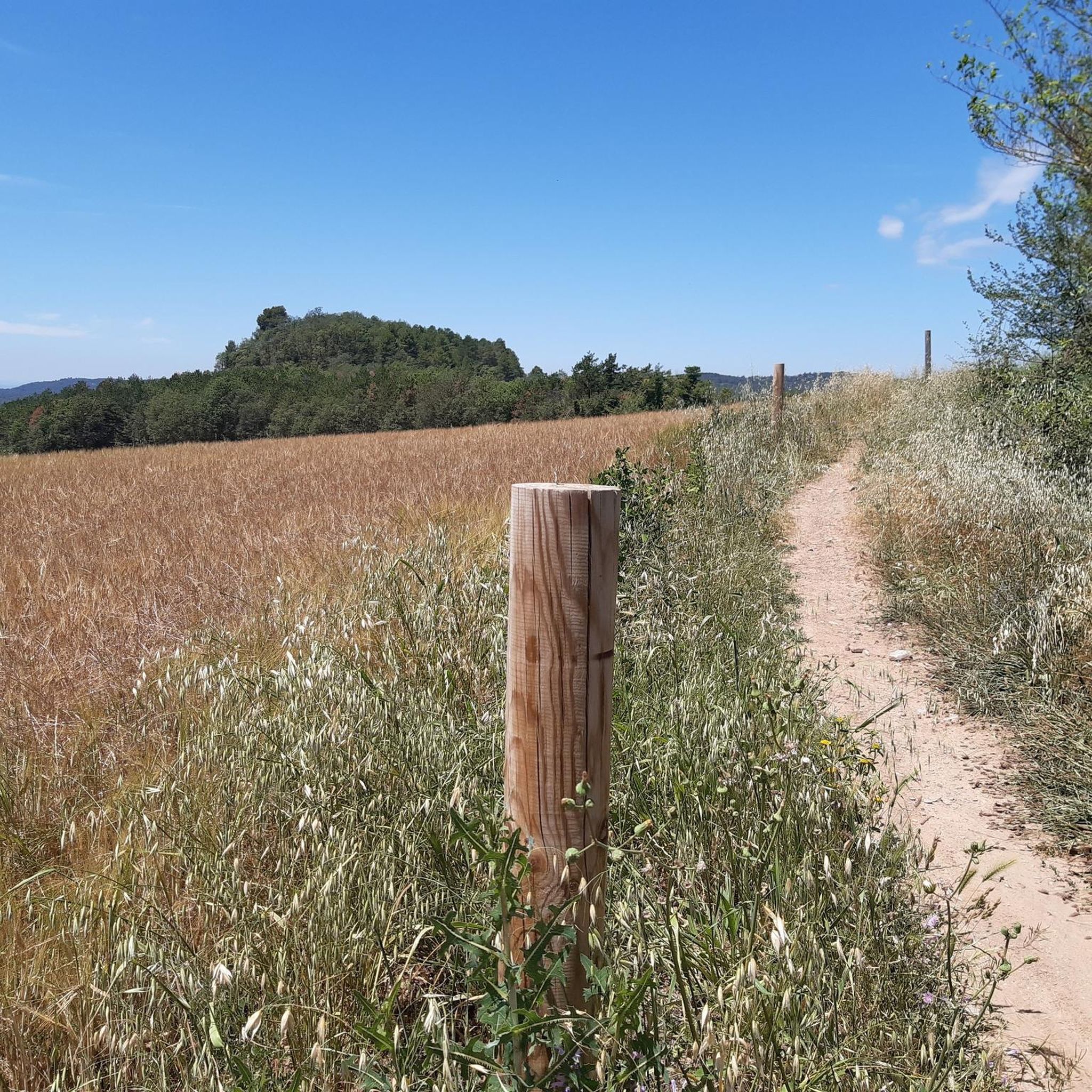
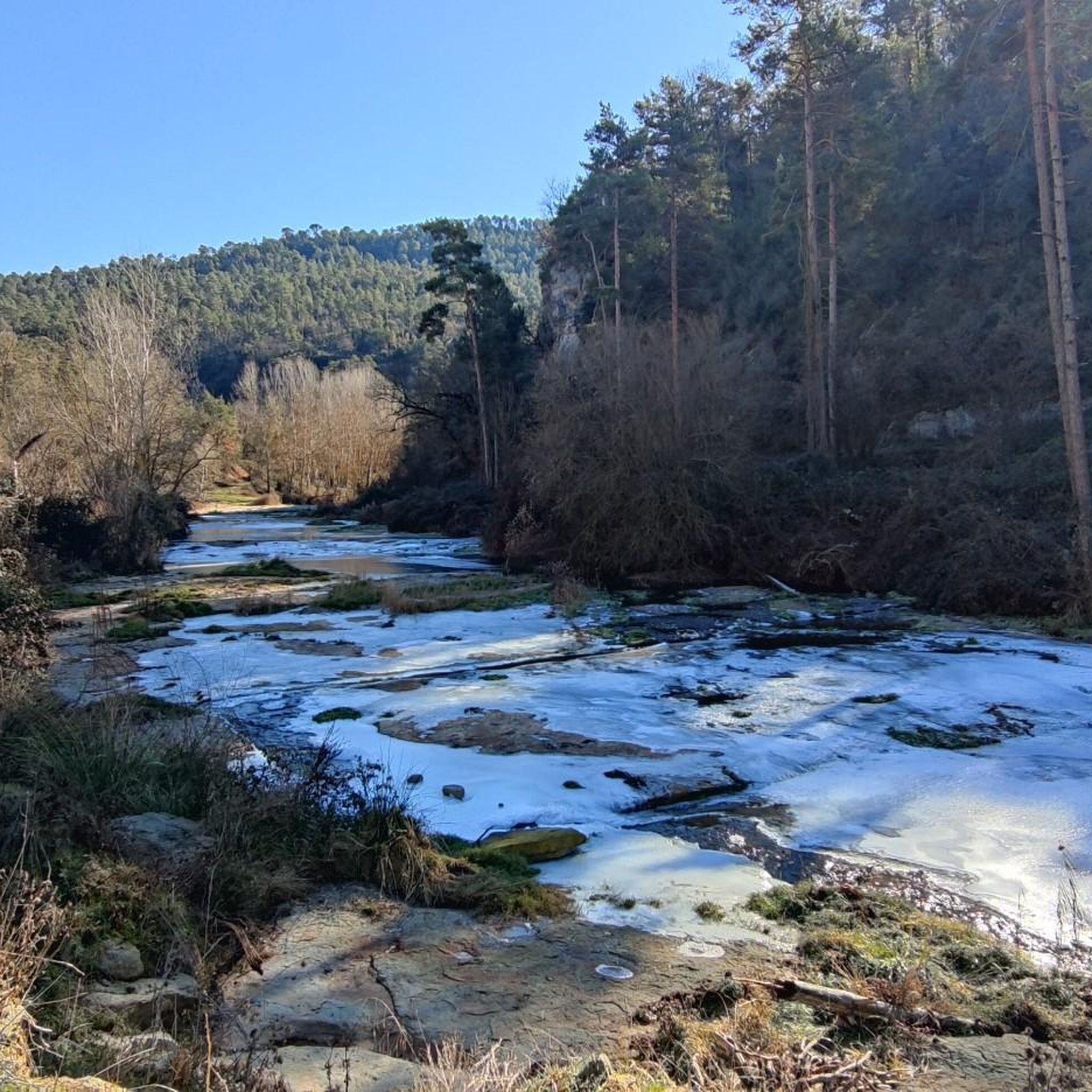
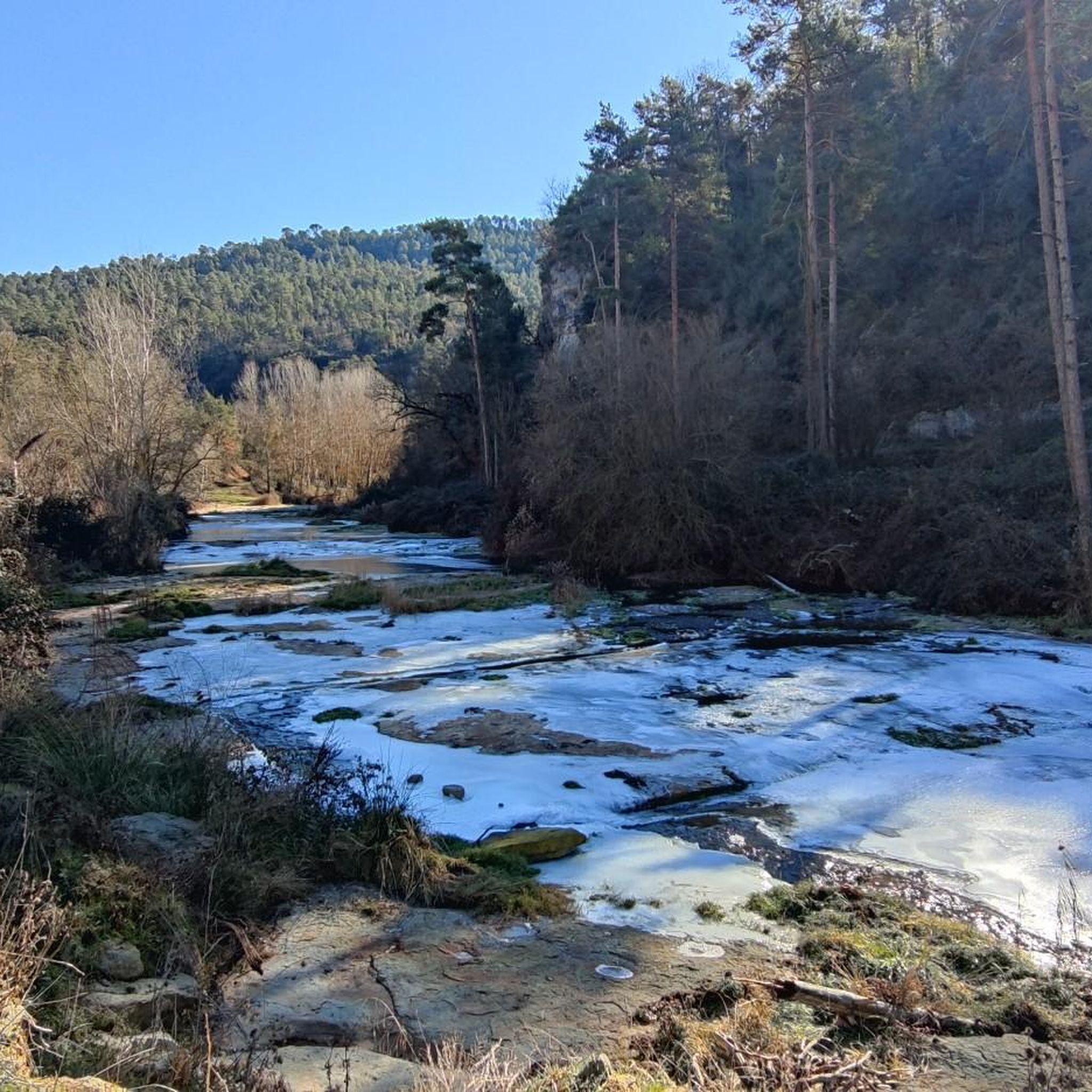

Tips from the Community

Located opposite the Mas de l’Esplugues farmhouse, this bridge allows passage over the Fontscalents stream, a tributary of the Marfà stream. Despite its small size, it is a Romanesque construction that has been preserved to this day. It has a single arch and a narrow passage, designed for the old bridle paths, intended for people and animals, but not for carts. The railing currently visible is a modern addition intended to improve safety.
2
0
This farmhouse is very special: it's built taking advantage of the natural shelter of a large rock and is located next to the Fontscalents stream. This spot has been home to different generations for over a thousand years, from medieval times until very recently, making it a place steeped in history. Although its name is already mentioned at the end of the 12th century, the building that stands today is the result of later renovations, especially from the 17th and 18th centuries. Some dates engraved in the stone still offer clues to these works. The façade, with its irregular and rustic appearance, blends elements of well-worked stone with simpler walls made of rubble and mortar.
1
0
Collsuspina is a small village with fewer than 400 inhabitants. It belongs to the Moyanés region. Its name comes from the fact that it was established on the Espina pass, along the old royal road from Manresa to Vic. The pass was named after the important L'Espina farmhouse that once stood there.
0
0
The castle is about 750 meters from the old town of Castelltersol. It is already mentioned in documents from the year 898.
1
0
Castellterçol sits at an altitude of 730 meters and boasts a rural landscape of fields, farmhouses, springs, and small streams, along with extensive areas of woodland, oak groves, and pine forests. Its heritage sites include the Prat de la Riba House-Museum and Castellterçol Castle.
1
0

The arrival is via a trail, so if you're riding gravel it's a bit uncomfortable.
0
0

Incredible places to take photos
0
0

Frequently Asked Questions
How many running routes can I find around Castellcir?
There are over 200 running routes available in and around Castellcir, offering a wide variety of options for all fitness levels. These include 10 easy routes, 120 moderate routes, and 85 challenging routes, ensuring there's something for every runner.
What kind of terrain can I expect on the jogging trails in Castellcir?
The terrain in Castellcir is quite diverse, characterized by crest lines, hillocks, torrents, woods, and croplands. You'll encounter varied elevations, ranging from 466 meters to 1,014 meters, which means routes can feature steady climbs, rolling downhill sections, and flat stretches. Many paths follow forest tracks and riverbanks, offering a dynamic running experience.
Are there any circular running routes in Castellcir?
Yes, Castellcir offers many circular running routes. For example, the Moià Old Town loop from Moià is a moderate 9.6 km trail that takes you through varied landscapes. The broader Moianès Hiking Trail, a 115.5 km circular path, also passes through the region, with many sections suitable for jogging, providing options for both shorter loops and longer distances.
What are some natural features or viewpoints I can see while running in Castellcir?
Castellcir's routes are rich in natural beauty. You can run along the headwaters of the Tenes and Fontscalents rivers, often finding lush, shaded paths. The Marfà Valley is particularly appealing for its pine and holm oak forests. For panoramic views, consider a route towards the Castell de La Popa (Castellcir Castle), which offers incredible vistas of the valley. The Roc Gros Viewpoint loop from Collsuspina is another challenging option known for its significant elevation gain and sweeping views.
Are there any historical landmarks along the running routes?
Absolutely. Many routes integrate historical sites into the landscape. For instance, the Marfà Valley features historical sites like the Molí de Brotons. The Historic Center of Centelles loop from Centelles combines historical points of interest with varied terrain. You might also encounter the Santa Maria Church, Sant Andreu Church, and the Romanesque hermitage of Santa Coloma Sasserra on various trails.
Are there any waterfalls I can visit on a running route?
Yes, the Marfà Valley is home to the beautiful Salt de La Tosca waterfall, which can be incorporated into a running route. Additionally, the Sant Miquel del Fai Monastery and Waterfall is a notable attraction in the wider area that you might explore.
What do other runners say about the trails in Castellcir?
The running routes in Castellcir are highly regarded by the komoot community, holding an average rating of 4.36 stars from over 60 reviews. More than 2,000 runners have used komoot to explore the varied terrain, often praising the diverse landscapes, from river valleys to dense woodlands, and the options available for different ability levels.
Are there family-friendly jogging routes in Castellcir?
While many routes in Castellcir offer varied terrain, there are options suitable for families. Look for routes categorized as 'easy' or 'moderate' on komoot, which tend to have less elevation gain and smoother paths. The region's diverse landscape means you can find shorter, less challenging loops that are enjoyable for all ages.
Can I bring my dog on the running trails in Castellcir?
Generally, many outdoor trails in Castellcir are dog-friendly, allowing you to enjoy a run with your canine companion. However, it's always recommended to keep your dog on a leash, especially in areas with wildlife or near agricultural lands, and to be mindful of local regulations regarding waste disposal. Always check specific route details for any restrictions.
Where can I find parking for the running routes in Castellcir?
Parking availability varies by trailhead. Many routes start from villages like Moià, Centelles, or Collsuspina, where you can typically find public parking areas. For specific routes, it's best to check the route details on komoot, as they often provide information about starting points and nearby parking facilities.
What is the best time of year for jogging in Castellcir?
Castellcir offers good running conditions throughout much of the year. Spring and autumn are particularly pleasant, with milder temperatures and beautiful natural scenery, including wildflowers in spring and vibrant foliage in autumn. Summer can be warm, so early morning or late afternoon runs are advisable. Winter offers crisp air, but some higher elevation or shaded paths might be damp or muddy.
Are there any easy running routes for beginners in Castellcir?
Yes, Castellcir has 10 routes specifically categorized as 'easy', perfect for beginners or those looking for a lighter run. These routes typically feature less elevation gain and shorter distances, allowing you to enjoy the beautiful scenery without excessive challenge. Always check the route details on komoot for specific difficulty ratings and terrain information.
Most popular routes around Castellcir
Most popular attractions around Castellcir

Get inspired with the komoot mobile app


Explore more
Browse the best Running Trails & Routes in other regions.
