The best MTB trails around Casas De Garcimolina
4.5
(2)
27
riders
11
rides
Mountain biking around Casas De Garcimolina offers diverse landscapes, from tranquil high plains to challenging singletrack trails. The region is characterized by unique sabina juniper forests, emblematic rock formations like Peña del Pardo, and geological features such as El Talayón, the highest point at 1602 meters. Riders can explore varied terrain including "rodeno" paths and gravel routes winding through pine forests and past crystal-clear springs. This area provides a blend of serene environments and exhilarating rides for all skill levels.
…Last updated: October 1, 2026
4.0
(1)
1
riders
18.5km
01:30
200m
200m
This easy 11.5-mile mountain biking route from Landete takes you to the historical Old villa of Moya, offering panoramic views.
7
riders
49.1km
04:16
670m
680m
Moderate mountain bike ride. Good fitness required. Suitable for all skill levels.

5.0
(1)
3
riders
36.3km
02:50
610m
610m
Moderate mountain bike ride. Good fitness required. Suitable for all skill levels.
2
riders
70.5km
06:47
1,760m
1,760m
Hard mountain bike ride. Very good fitness required. Suitable for all skill levels.
2
riders
40.0km
03:27
800m
800m
Moderate mountain bike ride. Good fitness required. Suitable for all skill levels.
Get access to more routes and recommendations from other explorers.
Already have an account?
Our route recommendations are based on thousands of hikes, rides, and runs completed by other people on komoot.
Start today with a free account
Your next adventure awaits.
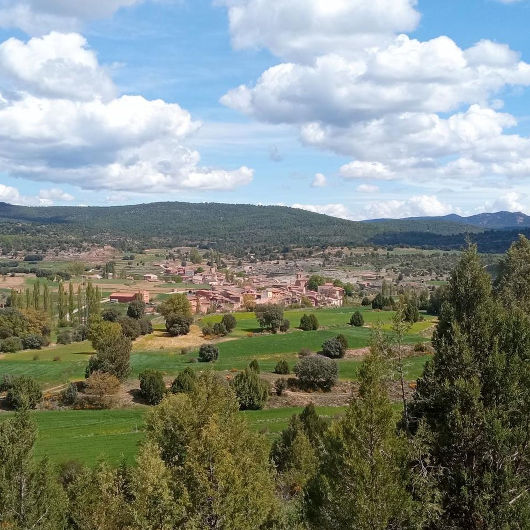
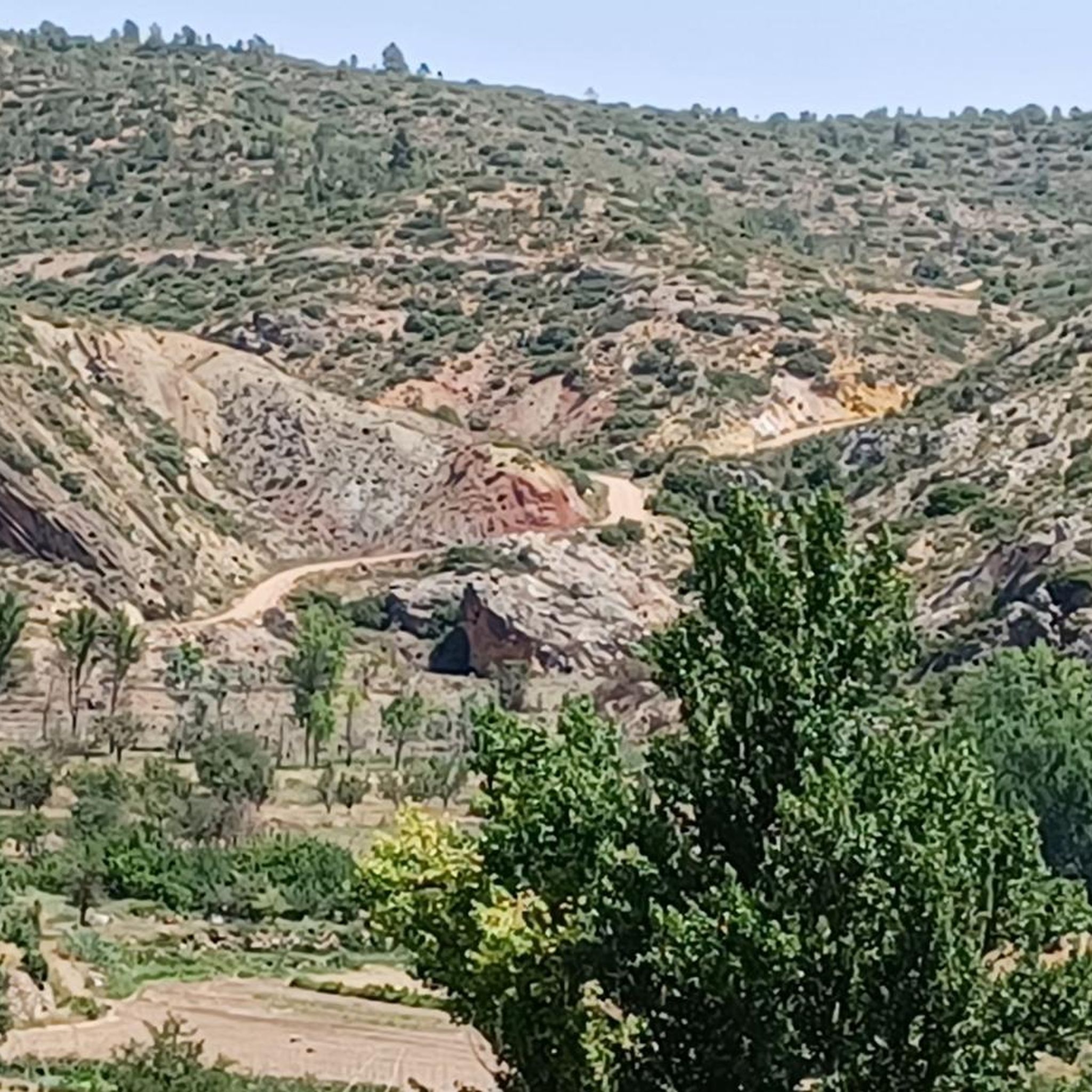
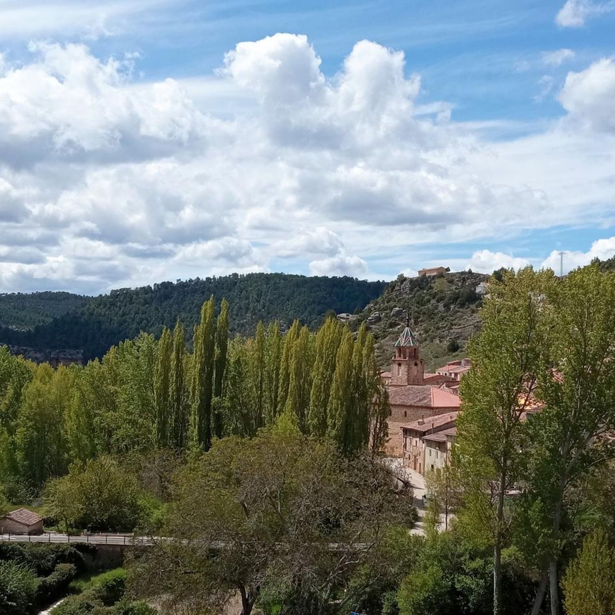
Tips from the Community

Located at an altitude of 1,715 meters, this refuge is accessible from La Puebla de San Miguel or Camarena de la Sierra. The refuge is a simple stone hut with basic amenities such as a small fireplace and a nearby fountain called Fuente del Pozo. It is an ideal place for hikers looking to rest for the night while exploring the Sierra de Javalambre.🚴🚶♀️🚵🌄
4
0

a really gorgeous place - perfect for an overnight stay
3
0

Beautiful surroundings and antiquity par excellence. Stop here for some tapas and a beer
0
0

Municipality that is mainly dominated by its castle that is located at the top of the hill that accompanies the mountain. The wall starts at the foot of the town and climbs up the mountain making the turn!
0
0
One of the most beautiful towns in the area, as you can see the center sunken into the valley where the Río Túria flows.
0
0
Vallanca is a village that is located on the southern slope of a small mountain that reaches 970 meters of altitude. At its feet runs the Río Bohilgues, which originates in a nearby town, Vega, about 2 km south of the town.
0
0

Minimalistic shelter, enough to protect you from the weather. Keep in mind to bring enough water since there is no spring nearby.
3
1

Vicente Pine, also called Three Claws Pine.
0
0
Frequently Asked Questions
What kind of terrain can I expect on mountain bike trails around Casas de Garcimolina?
The region offers a diverse mix of terrain. You'll find challenging, technical BTT trails across 'rodeno' terrain, as well as more gentle gravel paths winding through serene pine forests and past crystal-clear springs. This variety caters to both seasoned cyclists and those looking for a more relaxed ride.
Are there any easy mountain bike trails suitable for beginners or families?
Yes, there are options for easier rides. For instance, the Moya Ruins Loop from Landete is an easy 11.5-mile (18.5 km) trail that takes about 1 hour 30 minutes to complete, offering views of historical sites like Castillo de Moya. The area generally provides gentle gravel paths alongside more technical routes.
What are some longer mountain bike routes in the Casas de Garcimolina area?
For longer rides, consider the Ademuz loop from Ademuz, which is 36.0 miles (58.0 km) and typically takes around 5 hours 49 minutes. Another challenging option is the Bar La Pulga – Montañas Vacías (section) loop from Salvacañete, spanning 108.8 km with significant elevation gain.
Are there any circular mountain bike routes available?
Yes, many routes in the area are designed as loops. A popular moderate option is the Ademuz – Vallanca loop from Casas Altas, a 22.5-mile (36.3 km) path that connects several villages. The Ademuz loop from Ademuz is another longer circular trail.
What natural features or landmarks can I see while mountain biking in Casas de Garcimolina?
The region is rich in natural beauty and historical sites. You can explore unique sabina juniper forests like El Sabinarejo de Garcimolina, and impressive geological formations such as Peña del Pardo and El Talayón, the highest point at 1602 meters. Some routes also pass by historical sites like Castillo de Moya.
What is the best time of year to go mountain biking in Casas de Garcimolina?
Casas de Garcimolina offers clean air and serene environments, making it enjoyable for mountain biking across various seasons. However, spring and autumn generally provide the most comfortable temperatures and pleasant conditions for exploring the diverse landscapes and forests.
Are there any dog-friendly mountain bike trails in the area?
While specific trails are not designated as 'dog-friendly,' the natural and open character of the region, with its forests and high plains, often allows for well-behaved dogs on trails, especially those that are less technical. Always ensure your dog is under control and check local regulations for specific areas.
What do other mountain bikers enjoy most about the trails in Casas de Garcimolina?
The trails in Casas de Garcimolina are highly rated by the komoot community, with an average score of 4.5 stars. Riders often praise the authentic landscapes, the unique sabina juniper forests, and the blend of tranquil high plains with exhilarating singletrack, offering a sense of disconnection from daily life.
Is there parking available near the mountain bike trailheads?
While specific parking areas for each trailhead are not detailed, the villages in the region, such as Landete, Algarra, and Ademuz, typically offer parking options. It's advisable to check the starting points of your chosen routes for the most convenient places to leave your vehicle.
Are there places to eat or stay near the mountain bike routes?
The villages nestled within the region, such as Landete, Algarra, and Ademuz, offer authentic traditions and welcoming hospitality. You can find local cafes, pubs, and accommodation options in these settlements to refuel and rest after your ride.
How many mountain bike trails are featured around Casas de Garcimolina?
There are several mountain bike trails featured around Casas de Garcimolina, offering a variety of experiences. Komoot highlights four distinct routes, ranging from easy loops to challenging long-distance rides, ensuring options for different skill levels and preferences.
Most popular routes around Casas De Garcimolina
Most popular attractions around Casas De Garcimolina

Get inspired with the komoot mobile app


Explore more
Browse the best MTB trails in other regions.
